Wyndmoor is a census-designated place (CDP) in Springfield Township, Montgomery County, Pennsylvania, United States. The population was 5,498 at the 2010 census. Wyndmoor has the same ZIP code, 19038, as the towns of Glenside, North Hills, and Erdenheim.
| Name: | Wyndmoor CDP |
|---|---|
| LSAD Code: | 57 |
| LSAD Description: | CDP (suffix) |
| State: | Pennsylvania |
| County: | Montgomery County |
| Elevation: | 420 ft (130 m) |
| Total Area: | 1.65 sq mi (4.26 km²) |
| Land Area: | 1.65 sq mi (4.26 km²) |
| Water Area: | 0.00 sq mi (0.00 km²) |
| Total Population: | 5,853 |
| Population Density: | 3,558.05/sq mi (1,373.45/km²) |
| Area code: | 215, 267, and 445 |
| FIPS code: | 4286776 |
Online Interactive Map
Click on ![]() to view map in "full screen" mode.
to view map in "full screen" mode.
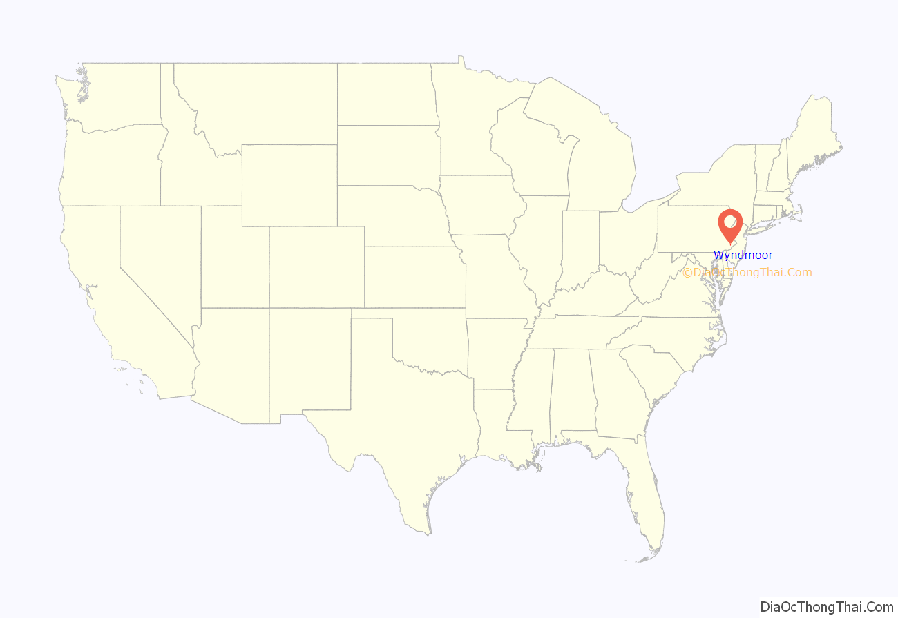
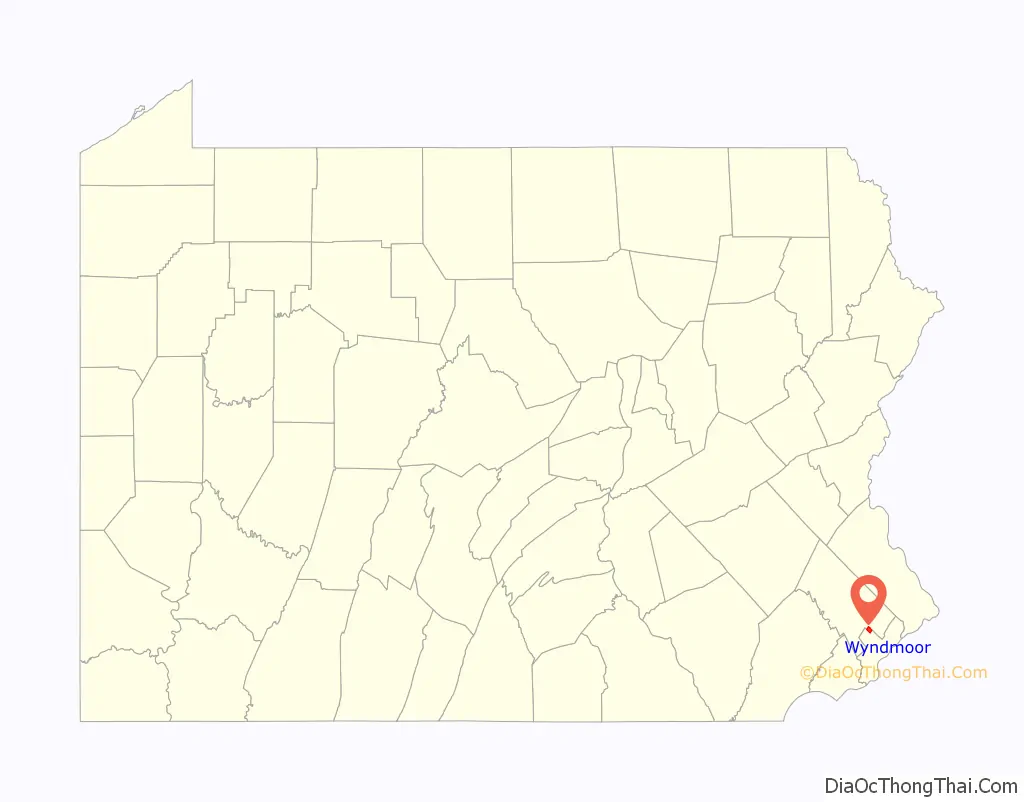
Wyndmoor location map. Where is Wyndmoor CDP?
History
William Penn, the founder of Pennsylvania, reserved Springfield Township as one of his family’s original manors in the 1680s.
The origin of the name “Wyndmoor” is somewhat obscure. The community was earlier called “Bungtown,” “Spring (or Springfield) Village,” and “Tedyuscung,” after the Native American leader, Teedyuscung, whose statue stands overlooking the Wissahickon Creek in Valley Green. “Wyndmoor” is variously said to be an appellation offered by the Heebner family who donated land for the Reading Railroad station, or originally the name of the estate of Randal Morgan, who made a fortune in oil and purchased property adjacent to the Reading Railroad station about 1900. The name eventually replaced the name “Springfield Village” for the small collection of shops and houses just east of Stenton Avenue, and finally encompassed the entire residential area east of Stenton Avenue.
Wyndmoor was the site of Whitemarsh Hall, the 300-acre (1.2 km) estate of banking executive Edward T. Stotesbury. The estate became a housing development in the late 1940s, and the 147-room mansion was demolished in 1980, but the columns of its portico and pieces of statuary survive in the neighborhoods of Wyndmoor.
The Stotesbury Club House and John Welsh House are listed on the National Register of Historic Places.
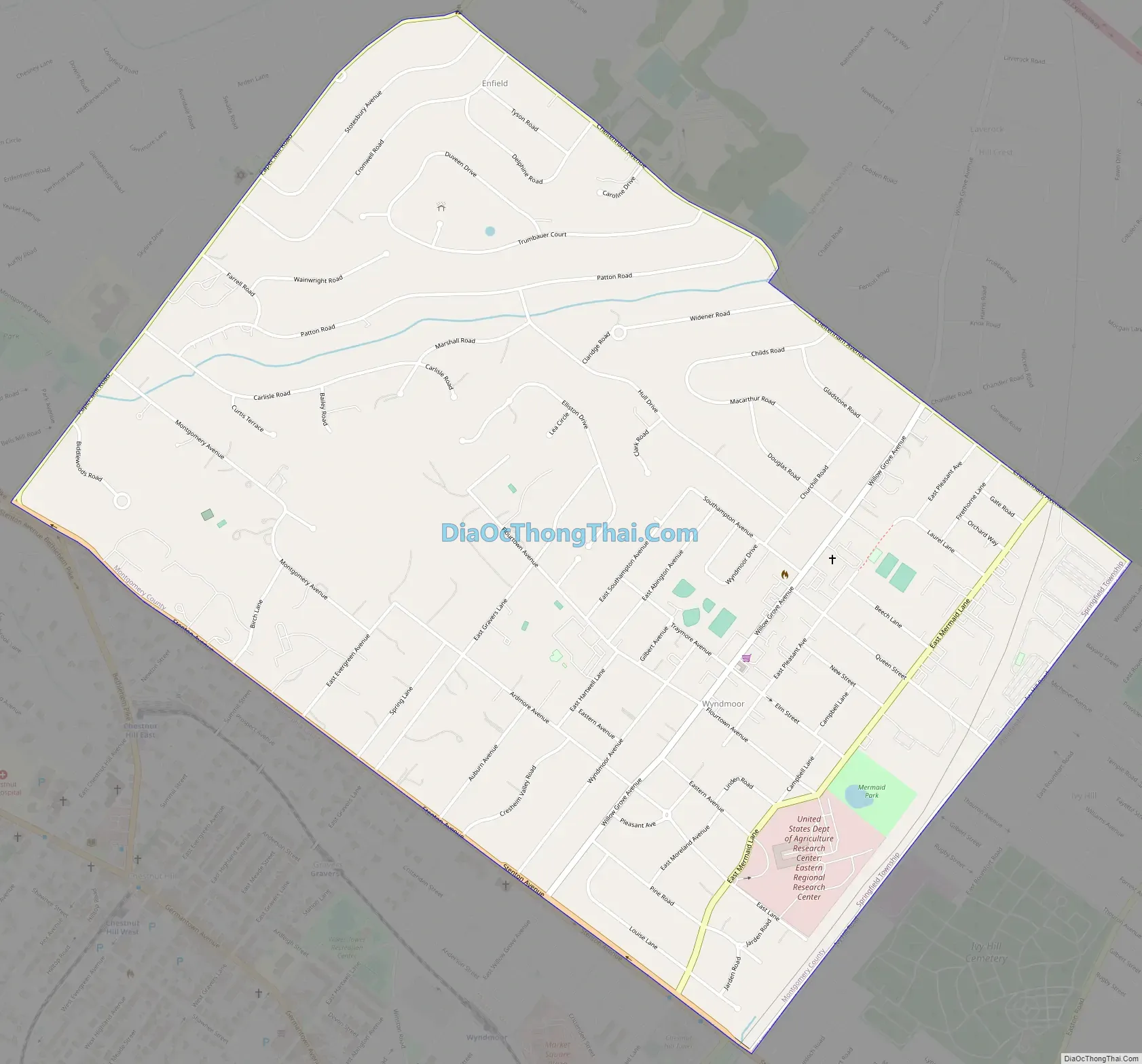
Wyndmoor Road Map
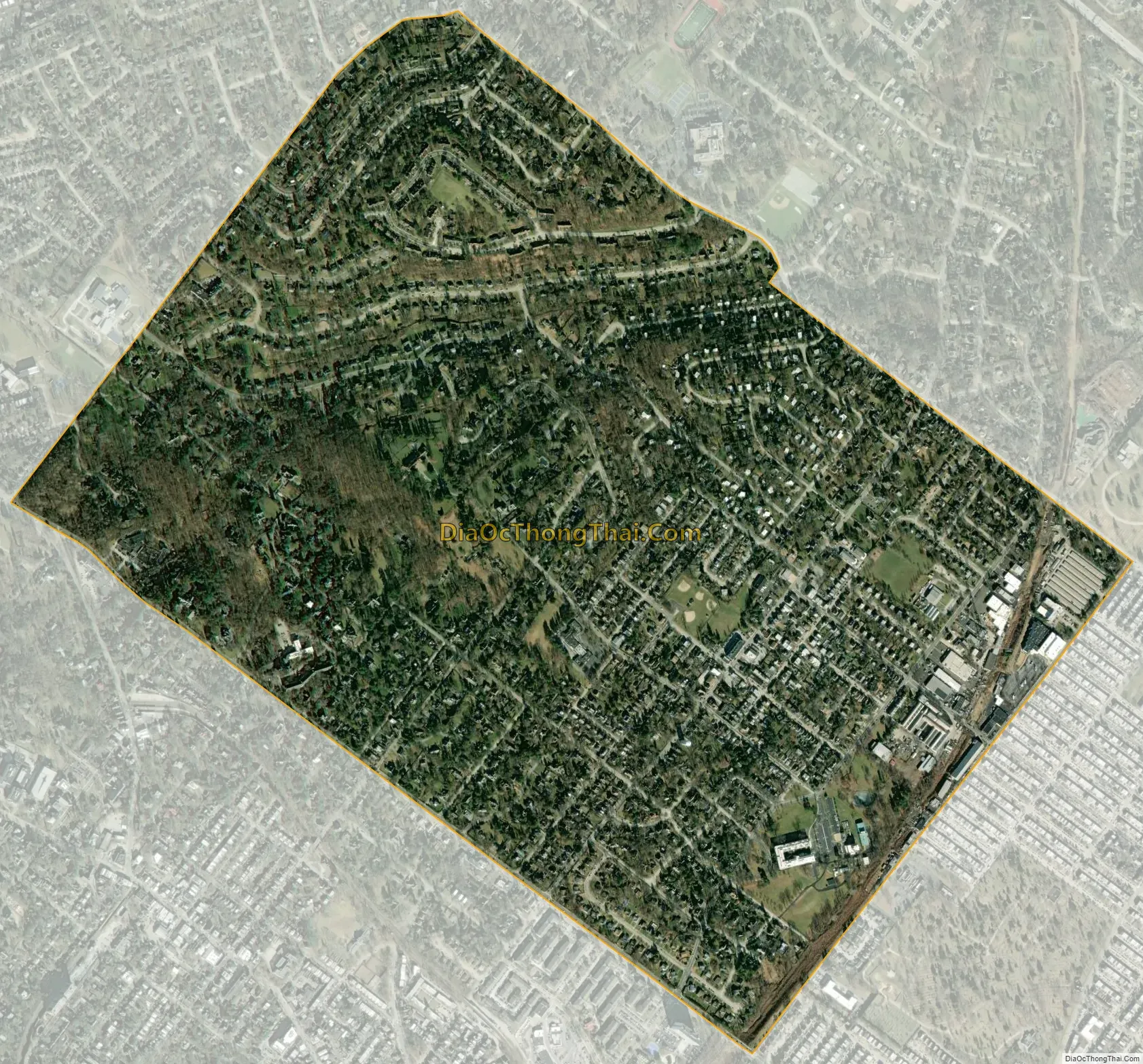
Wyndmoor city Satellite Map
Geography
Wyndmoor is located at 40°4′58″N 75°11′31″W / 40.08278°N 75.19194°W / 40.08278; -75.19194 (40.082810, −75.191829), which is just outside the northern boundary of Philadelphia.
According to the United States Census Bureau, the CDP has a total area of 1.6 square miles (4.1 km), all land.
See also
Map of Pennsylvania State and its subdivision:- Adams
- Allegheny
- Armstrong
- Beaver
- Bedford
- Berks
- Blair
- Bradford
- Bucks
- Butler
- Cambria
- Cameron
- Carbon
- Centre
- Chester
- Clarion
- Clearfield
- Clinton
- Columbia
- Crawford
- Cumberland
- Dauphin
- Delaware
- Elk
- Erie
- Fayette
- Forest
- Franklin
- Fulton
- Greene
- Huntingdon
- Indiana
- Jefferson
- Juniata
- Lackawanna
- Lancaster
- Lawrence
- Lebanon
- Lehigh
- Luzerne
- Lycoming
- Mc Kean
- Mercer
- Mifflin
- Monroe
- Montgomery
- Montour
- Northampton
- Northumberland
- Perry
- Philadelphia
- Pike
- Potter
- Schuylkill
- Snyder
- Somerset
- Sullivan
- Susquehanna
- Tioga
- Union
- Venango
- Warren
- Washington
- Wayne
- Westmoreland
- Wyoming
- York
- Alabama
- Alaska
- Arizona
- Arkansas
- California
- Colorado
- Connecticut
- Delaware
- District of Columbia
- Florida
- Georgia
- Hawaii
- Idaho
- Illinois
- Indiana
- Iowa
- Kansas
- Kentucky
- Louisiana
- Maine
- Maryland
- Massachusetts
- Michigan
- Minnesota
- Mississippi
- Missouri
- Montana
- Nebraska
- Nevada
- New Hampshire
- New Jersey
- New Mexico
- New York
- North Carolina
- North Dakota
- Ohio
- Oklahoma
- Oregon
- Pennsylvania
- Rhode Island
- South Carolina
- South Dakota
- Tennessee
- Texas
- Utah
- Vermont
- Virginia
- Washington
- West Virginia
- Wisconsin
- Wyoming


