Youngwood is a borough in Westmoreland County, Pennsylvania, United States.
| Name: | Youngwood borough |
|---|---|
| LSAD Code: | 21 |
| LSAD Description: | borough (suffix) |
| State: | Pennsylvania |
| County: | Westmoreland County |
| Incorporated: | November 10, 1902 |
| Elevation: | 954 ft (291 m) |
| Total Area: | 1.92 sq mi (4.98 km²) |
| Land Area: | 1.92 sq mi (4.97 km²) |
| Water Area: | 0.00 sq mi (0.01 km²) |
| Total Population: | 2,975 |
| Area code: | 724 |
| FIPS code: | 4287232 |
| Website: | http://www.youngwood.org |
Online Interactive Map
Click on ![]() to view map in "full screen" mode.
to view map in "full screen" mode.
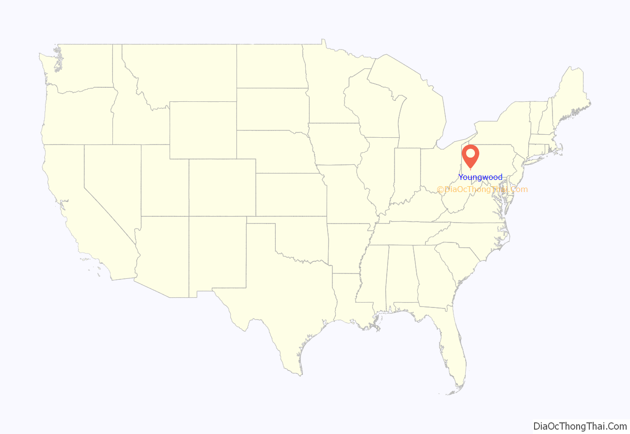
Youngwood location map. Where is Youngwood borough?
History
The community was established in 1899 and was built on land owned by John Y. Woods, a farmer. In creating the name Youngwood, John Y. Woods took his own family name and combined it with his maternal grandfather’s name, which was Young.
Youngwood owes its existence to the Southwest Branch of the Pennsylvania Railroad, which ran from Greensburg south to Uniontown and Fairchance. In 1900, a large classification yard was built for sorting railroad cars, and this railroad yard provided Youngwood’s economic base for many decades.
Youngwood became a borough on November 10, 1902. The year 1902 was also the date of Youngwood’s railroad station, which still stands on Depot Street.
Youngwood Road Map
Youngwood city Satellite Map
Geography
Youngwood is located at 40°14′22″N 79°34′50″W / 40.23944°N 79.58056°W / 40.23944; -79.58056 (40.239566, -79.580686).
According to the United States Census Bureau, the borough has a total area of 1.9 square miles (4.8 km), of which 1.8 square miles (4.8 km) is land and 0.04 square mile (0.1 km) (1.08%) is water.
See also
Map of Pennsylvania State and its subdivision:- Adams
- Allegheny
- Armstrong
- Beaver
- Bedford
- Berks
- Blair
- Bradford
- Bucks
- Butler
- Cambria
- Cameron
- Carbon
- Centre
- Chester
- Clarion
- Clearfield
- Clinton
- Columbia
- Crawford
- Cumberland
- Dauphin
- Delaware
- Elk
- Erie
- Fayette
- Forest
- Franklin
- Fulton
- Greene
- Huntingdon
- Indiana
- Jefferson
- Juniata
- Lackawanna
- Lancaster
- Lawrence
- Lebanon
- Lehigh
- Luzerne
- Lycoming
- Mc Kean
- Mercer
- Mifflin
- Monroe
- Montgomery
- Montour
- Northampton
- Northumberland
- Perry
- Philadelphia
- Pike
- Potter
- Schuylkill
- Snyder
- Somerset
- Sullivan
- Susquehanna
- Tioga
- Union
- Venango
- Warren
- Washington
- Wayne
- Westmoreland
- Wyoming
- York
- Alabama
- Alaska
- Arizona
- Arkansas
- California
- Colorado
- Connecticut
- Delaware
- District of Columbia
- Florida
- Georgia
- Hawaii
- Idaho
- Illinois
- Indiana
- Iowa
- Kansas
- Kentucky
- Louisiana
- Maine
- Maryland
- Massachusetts
- Michigan
- Minnesota
- Mississippi
- Missouri
- Montana
- Nebraska
- Nevada
- New Hampshire
- New Jersey
- New Mexico
- New York
- North Carolina
- North Dakota
- Ohio
- Oklahoma
- Oregon
- Pennsylvania
- Rhode Island
- South Carolina
- South Dakota
- Tennessee
- Texas
- Utah
- Vermont
- Virginia
- Washington
- West Virginia
- Wisconsin
- Wyoming
