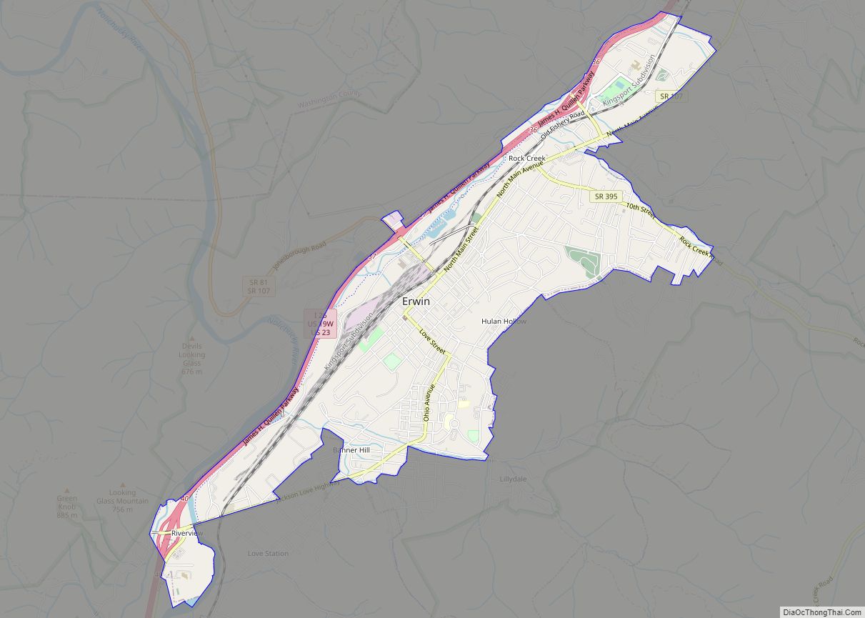
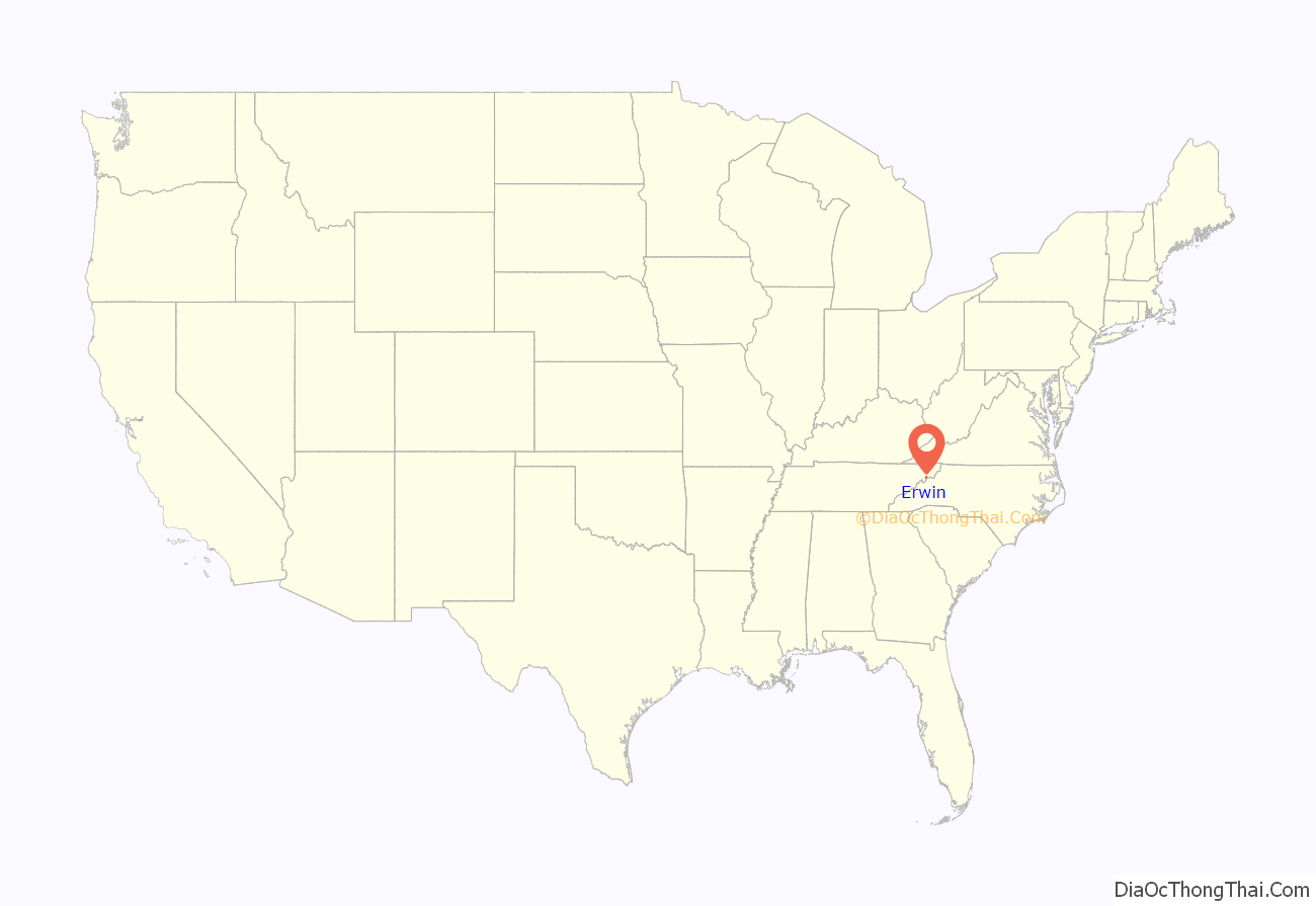
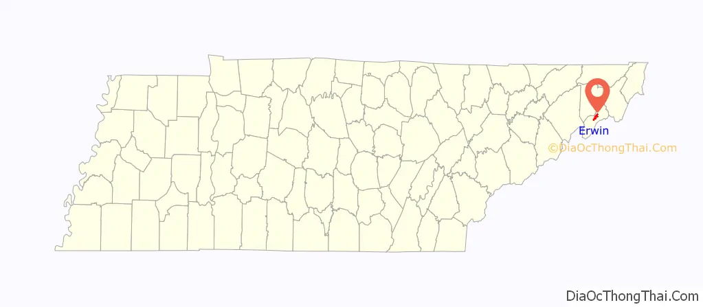
Erwin is a town in and the county seat of Unicoi County, Tennessee, United States. The population was 6,097 at the 2010 census. It is part of the Johnson City Metropolitan Statistical Area, which is a component of the Johnson City–Kingsport–Bristol, TN-VA Combined Statistical Area – commonly known as the “Tri-Cities” region.
| Name: | Erwin town |
|---|---|
| LSAD Code: | 43 |
| LSAD Description: | town (suffix) |
| State: | Tennessee |
| County: | Unicoi County |
| Founded: | 1876 |
| Incorporated: | 1903 |
| Elevation: | 1,673 ft (510 m) |
| Total Area: | 4.13 sq mi (10.70 km²) |
| Land Area: | 4.13 sq mi (10.69 km²) |
| Water Area: | 0.01 sq mi (0.01 km²) |
| Total Population: | 6,083 |
| Population Density: | 1,474.31/sq mi (569.20/km²) |
| ZIP code: | 37650 |
| Area code: | 423 |
| FIPS code: | 4724360 |
| GNISfeature ID: | 1328148 |
| Website: | erwintn.org |
Online Interactive Map
Click on ![]() to view map in "full screen" mode.
to view map in "full screen" mode.
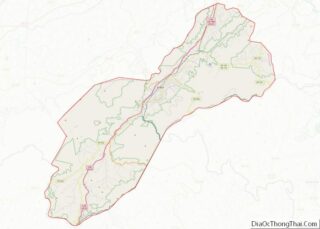
Erwin location map. Where is Erwin town?
History
The town of Erwin received its name by a mail mishap. On December 5, 1879, the name of the town was Ervin, in honor of D.J.N. Ervin, who had donated 15 acres (61,000 m) of land for the county seat. A typo made by post office officials caused the name to be recorded as Erwin. The mistake was never corrected.
Erwin earned some notoriety in 1916 when the only known public execution of an elephant in Tennessee occurred in the community. Mary, an elephant in ‘Sparks World Famous Shows’ traveling circus, had killed her handler, Walter Eldridge, in nearby Kingsport after the inexperienced trainer allegedly struck Mary on the head with a hook. News of a killer elephant spread via rumors and sensationalist news stories, and calls for Mary’s execution began. Some towns announced they would turn the circus away if it showed up with the elephant. So Mary’s owner, Charlie Sparks, decided to execute Mary by hanging in order to appease the crowds. Erwin was a little more than 35 miles south of Kingsport, and as home to the region’s largest railway yard they happened to have a 100-ton crane car that could lift the five-ton elephant. Surrounding communities decided that Erwin was the best place to carry out the execution and Erwin obliged, even though the town itself was against it. An estimated 2,500 people turned out at the local railway yard to see Mary hoisted by a crane to meet her demise. Playwright George Brant won the 2008 Keene Prize for Literature for his a one-act play titled “Elephant’s Graveyard”, depicting this story. The town recently implemented a yearly festival and Elephant Art Auction; whereby, artists paint small elephant sculptures displayed around town that are then auctioned, with all proceeds donated exclusively to The Elephant Sanctuary in Hohenwald.
Between 1916 and 1957, the Southern Potteries plant operated in Erwin along Ohio Avenue. The plant produced a hand-painted dishware known as Blue Ridge that became popular nationwide in the late 1930s and 1940s. Blue Ridge pieces are still popular items with collectors of antique dishware.
In 1918, group of its white citizens committed an inhumane “banishment,” a violent incident that involved the murder of a black man and the violent, forcible eviction of all other black citizens from the town by a white mob. In the 20th century, the town was considered a sundown town.
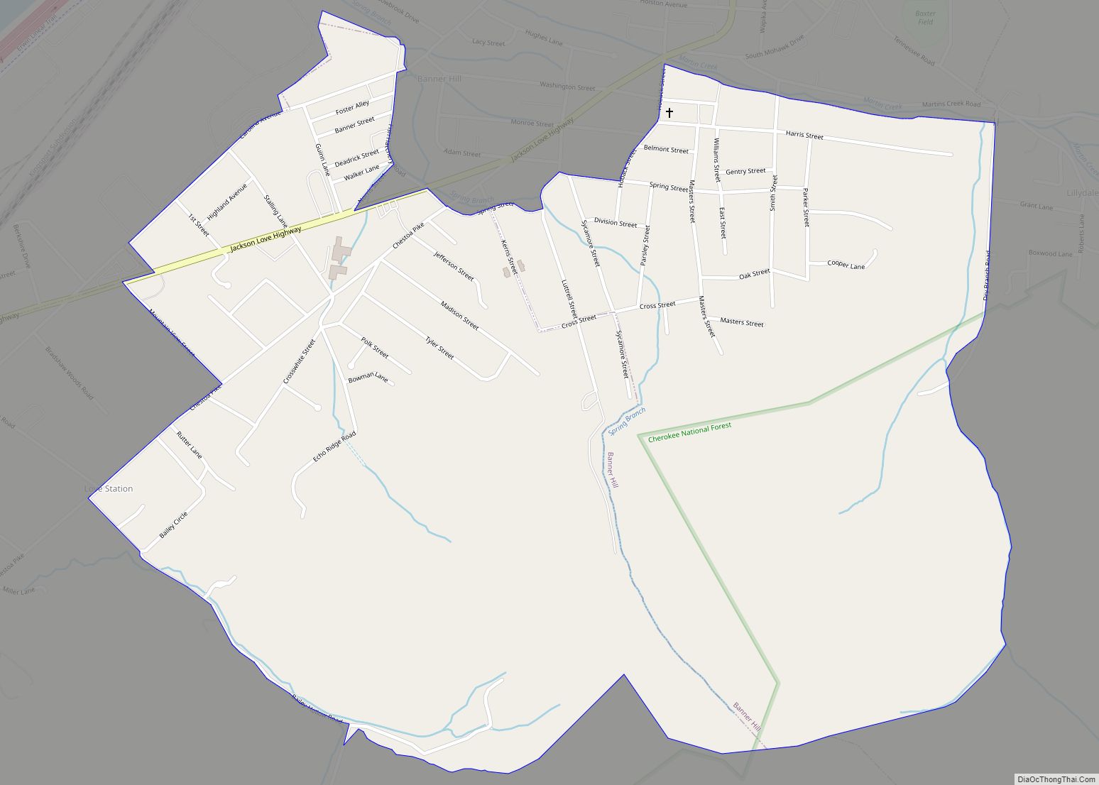
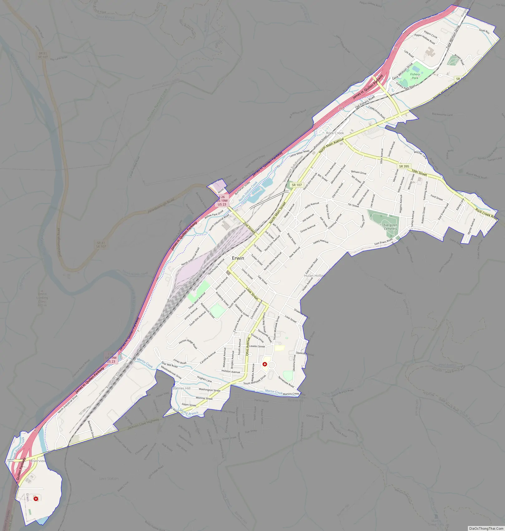
Erwin Road Map
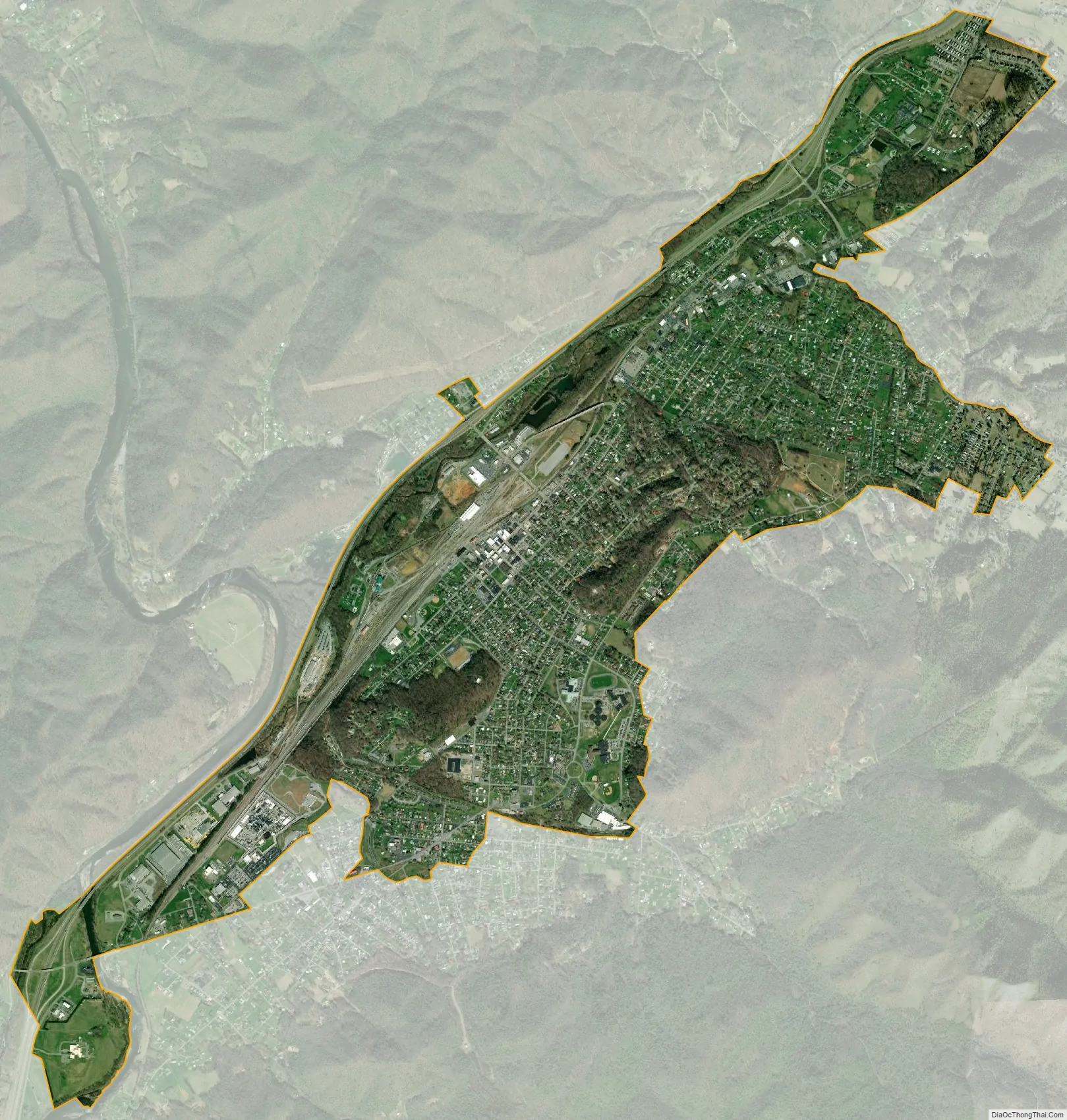
Erwin city Satellite Map
Geography
Erwin is located at 36°8′42″N 82°24′39″W / 36.14500°N 82.41083°W / 36.14500; -82.41083 (36.145036, -82.410796), The town is situated in a valley at the confluence of North Indian Creek, which approaches from the northeast, and the Nolichucky River, which enters the valley from the mountains to the southeast. Just before reaching Erwin, the Nolichucky passes through a narrow gorge popular with whitewater rafters.
Erwin is surrounded by the Cherokee National Forest, and mountains dominate the view in all directions. Buffalo Mountain rises to the north, Rich Mountain rises to the west, and the Unaka Mountains rise to the south and east.
The Appalachian Trail passes east of Erwin. The trail crosses the Nolichucky near the western end of the Nolichucky Gorge, at a place known as Unaka Springs. Nearby is “Moaning Rock”, a large boulder near the trail that is supposed to be the site of a long ago murder of a stranger. According to local lore, the murdered man’s spirit is still around, and if anyone stands on or even touches the rock, “…it moans as if under a heavy burden.”
Interstate 26 passes through western and southern Erwin. Tennessee State Route 107 (North Main Avenue) connects Erwin to Unicoi to the north and the Embreeville area and Washington County to the west. Tennessee State Route 395 connects Erwin with the rural parts of Mitchell and Yancey counties to the east in North Carolina, crossing the Unakas at the 3,100-foot (940 m) Indian Grave Gap (the road becomes North Carolina Highway 197 at the state line).
According to the United States Census Bureau, the city has a total area of 3.5 square miles (9.1 km), of which 3.5 square miles (9.1 km) is land and 0.28% is water.
Climate
See also
Map of Tennessee State and its subdivision:- Anderson
- Bedford
- Benton
- Bledsoe
- Blount
- Bradley
- Campbell
- Cannon
- Carroll
- Carter
- Cheatham
- Chester
- Claiborne
- Clay
- Cocke
- Coffee
- Crockett
- Cumberland
- Davidson
- Decatur
- DeKalb
- Dickson
- Dyer
- Fayette
- Fentress
- Franklin
- Gibson
- Giles
- Grainger
- Greene
- Grundy
- Hamblen
- Hamilton
- Hancock
- Hardeman
- Hardin
- Hawkins
- Haywood
- Henderson
- Henry
- Hickman
- Houston
- Humphreys
- Jackson
- Jefferson
- Johnson
- Knox
- Lake
- Lauderdale
- Lawrence
- Lewis
- Lincoln
- Loudon
- Macon
- Madison
- Marion
- Marshall
- Maury
- McMinn
- McNairy
- Meigs
- Monroe
- Montgomery
- Moore
- Morgan
- Obion
- Overton
- Perry
- Pickett
- Polk
- Putnam
- Rhea
- Roane
- Robertson
- Rutherford
- Scott
- Sequatchie
- Sevier
- Shelby
- Smith
- Stewart
- Sullivan
- Sumner
- Tipton
- Trousdale
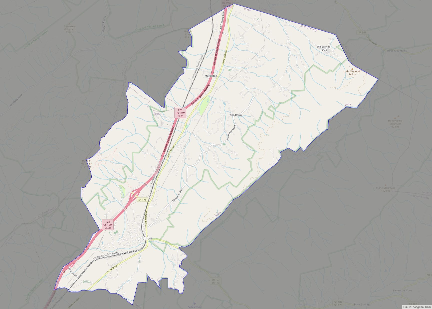
- Unicoi
- Union
- Van Buren
- Warren
- Washington
- Wayne
- Weakley
- White
- Williamson
- Wilson
- Alabama
- Alaska
- Arizona
- Arkansas
- California
- Colorado
- Connecticut
- Delaware
- District of Columbia
- Florida
- Georgia
- Hawaii
- Idaho
- Illinois
- Indiana
- Iowa
- Kansas
- Kentucky
- Louisiana
- Maine
- Maryland
- Massachusetts
- Michigan
- Minnesota
- Mississippi
- Missouri
- Montana
- Nebraska
- Nevada
- New Hampshire
- New Jersey
- New Mexico
- New York
- North Carolina
- North Dakota
- Ohio
- Oklahoma
- Oregon
- Pennsylvania
- Rhode Island
- South Carolina
- South Dakota
- Tennessee
- Texas
- Utah
- Vermont
- Virginia
- Washington
- West Virginia
- Wisconsin
- Wyoming