Unicoi is a town in Unicoi County, Tennessee, United States. The population was 3,519 at the 2000 census and 3,632 at the 2010 census. It is part of the Johnson City Metropolitan Statistical Area, which is a component of the Johnson City–Kingsport–Bristol–Erwin–Flag Pond Combined Statistical Area – commonly known as the “Tri-Cities” region.
| Name: | Unicoi town |
|---|---|
| LSAD Code: | 43 |
| LSAD Description: | town (suffix) |
| State: | Tennessee |
| County: | Unicoi County |
| Incorporated: | 1994 |
| Elevation: | 1,923 ft (586 m) |
| Total Area: | 16.19 sq mi (41.93 km²) |
| Land Area: | 16.19 sq mi (41.93 km²) |
| Water Area: | 0.00 sq mi (0.00 km²) |
| Total Population: | 3,833 |
| Population Density: | 236.75/sq mi (91.41/km²) |
| ZIP code: | 37692 |
| Area code: | 423 |
| FIPS code: | 4775820 |
| GNISfeature ID: | 1304219 |
| Website: | www.unicoitn.net |
Online Interactive Map
Click on ![]() to view map in "full screen" mode.
to view map in "full screen" mode.
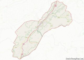
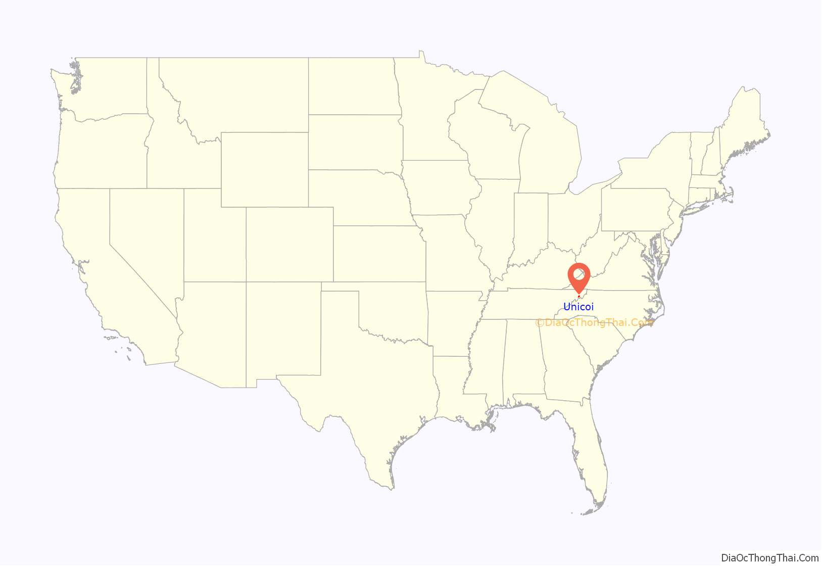
Unicoi location map. Where is Unicoi town?

History
Unicoi was originally known as “Greasy Cove.” In 1851, the Swingle brothers opened a post office in the community, and named it “Swingleville.” In 1876, Dr. F.H. Hannum obtained control of the post office, and changed its name to “Limonite.” When the railroads arrived in the valley in the late 1880s, the name was changed to “Unicoi City,” and later shortened to its current form. The town developed in the early 20th century as a shipping point for area mining and logging operations. In 1994, the municipal government of Johnson City would purchase the Buffalo Valley Golf Course located in upper Unicoi County for $1.52 million. Residents of Unicoi speculated that the purchase was a sign of Johnson City seeking to begin annexations into Unicoi. As a result, a community group gathered to incorporate Unicoi into a town by public referendum vote the following year to prevent potential annexation.
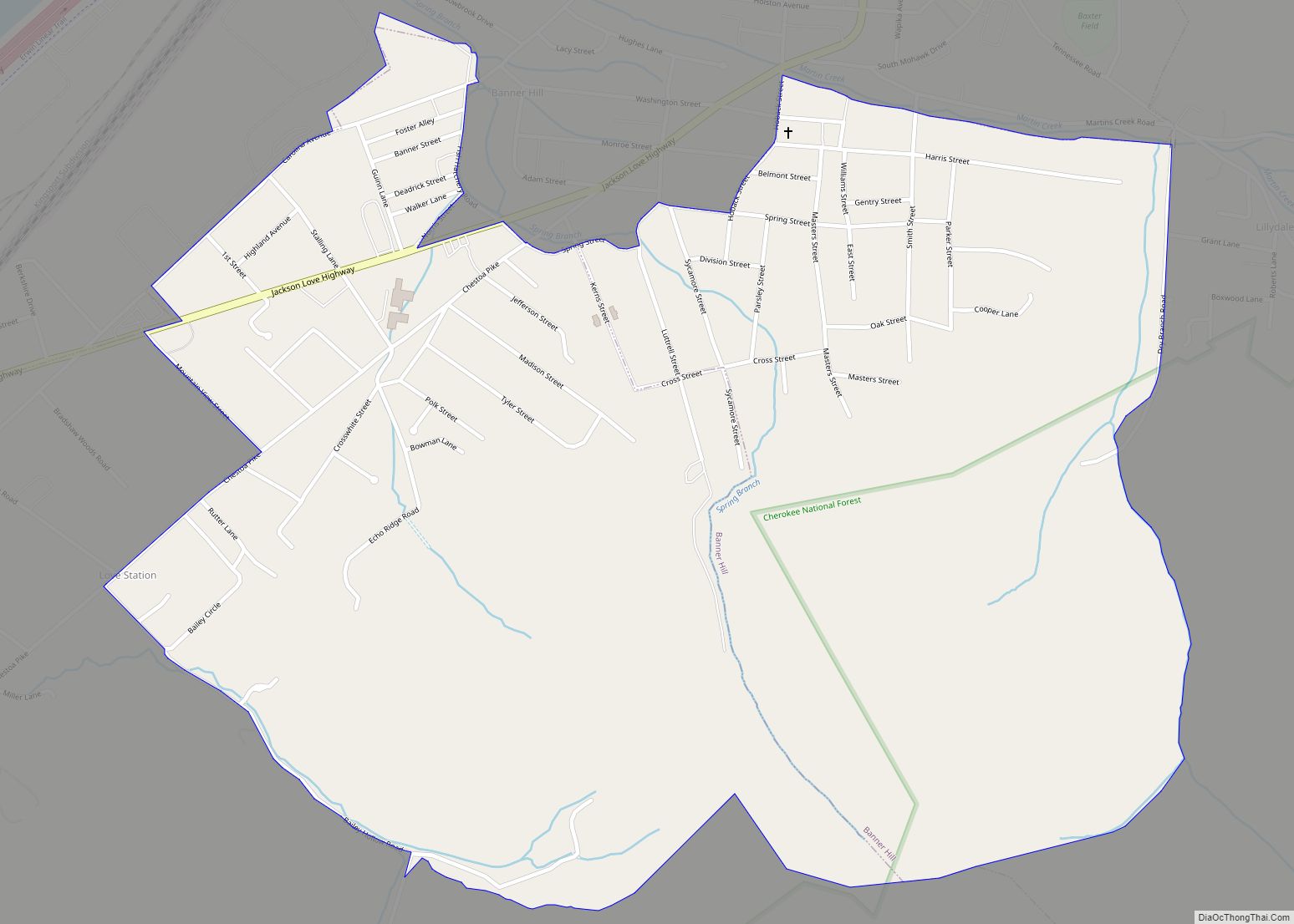
Unicoi Road Map

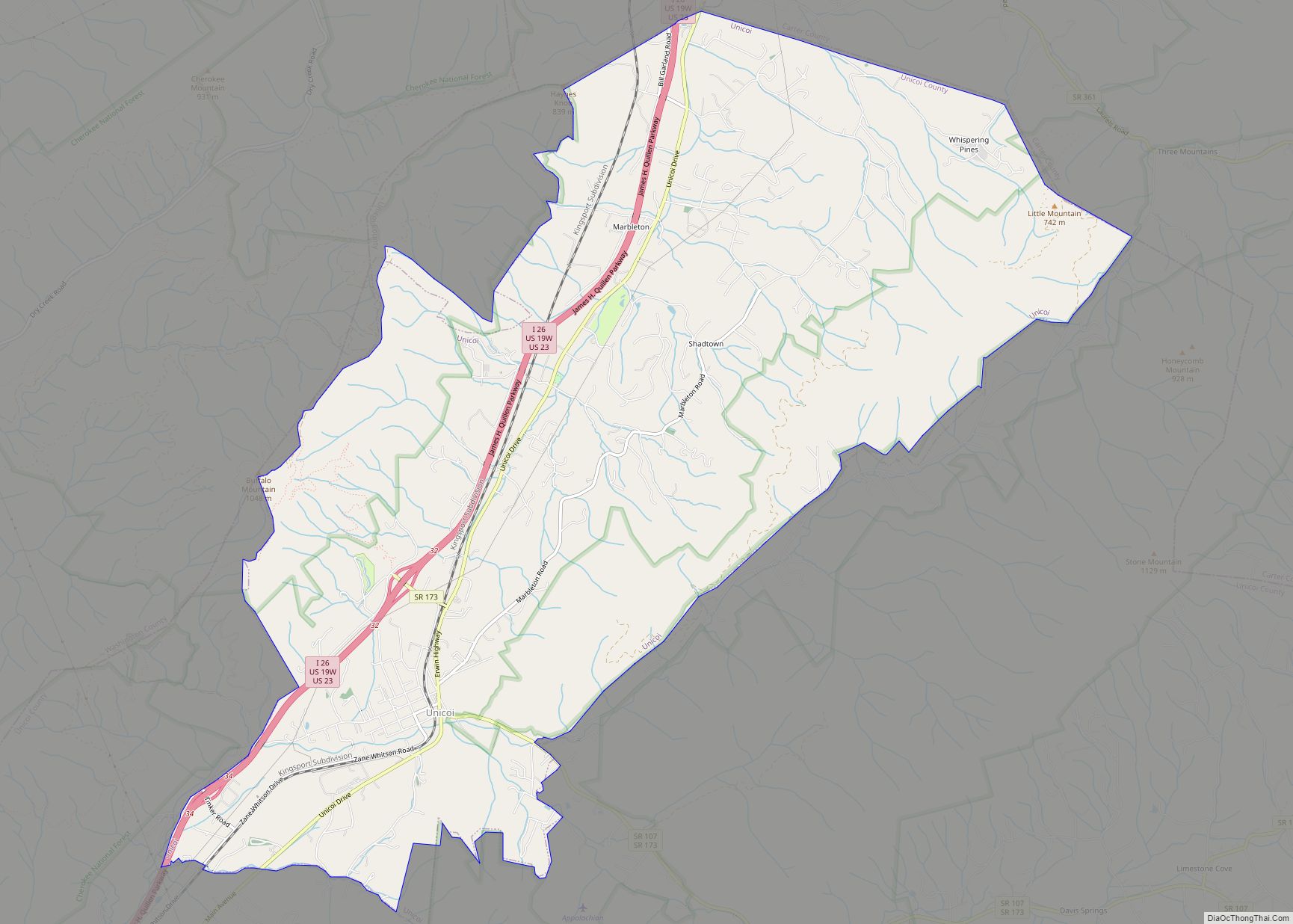
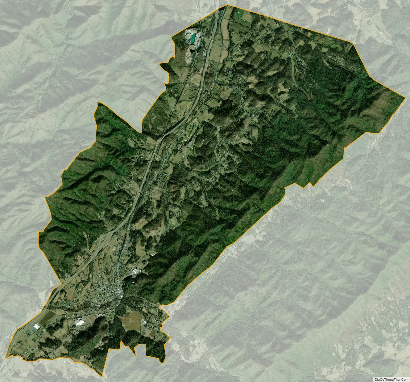
Unicoi city Satellite Map
Geography
Unicoi is located at 36°13′12″N 82°20′17″W / 36.22000°N 82.33806°W / 36.22000; -82.33806 (36.220028, -82.338138). The town is situated in the North Indian Creek Valley (known locally as “The Valley Beautiful”), at a point where North Indian Creek emerges from the mountains to the southeast and bends to the southwest toward Erwin and its eventual confluence with the Nolichucky River. The northern portions of Unicoi are located in the headwaters of Buffalo Creek, which flows northeastward (in the opposite direction from North Indian Creek) and eventually empties into the Watauga River.
Unicoi is surrounded by the Cherokee National Forest. Buffalo Mountain rises prominently to the west of Unicoi, and a series of rugged hills and ridges that comprise the outer Unaka Mountains rise to the east. Erwin, the county seat, is located further down the valley to the southwest. Johnson City is located opposite Buffalo Mountain to the north.
Interstate 26, which traverses the valley, passes through western Unicoi. Tennessee State Route 107 connects Unicoi with Erwin to the southwest and the rural Limestone Cove area to the east. Tennessee State Route 173 connects the town with U.S. Route 19E.
According to the United States Census Bureau, the town has a total area of 16.3 square miles (42 km), all of it land.
See also
Map of Tennessee State and its subdivision:- Anderson
- Bedford
- Benton
- Bledsoe
- Blount
- Bradley
- Campbell
- Cannon
- Carroll
- Carter
- Cheatham
- Chester
- Claiborne
- Clay
- Cocke
- Coffee
- Crockett
- Cumberland
- Davidson
- Decatur
- DeKalb
- Dickson
- Dyer
- Fayette
- Fentress
- Franklin
- Gibson
- Giles
- Grainger
- Greene
- Grundy
- Hamblen
- Hamilton
- Hancock
- Hardeman
- Hardin
- Hawkins
- Haywood
- Henderson
- Henry
- Hickman
- Houston
- Humphreys
- Jackson
- Jefferson
- Johnson
- Knox
- Lake
- Lauderdale
- Lawrence
- Lewis
- Lincoln
- Loudon
- Macon
- Madison
- Marion
- Marshall
- Maury
- McMinn
- McNairy
- Meigs
- Monroe
- Montgomery
- Moore
- Morgan
- Obion
- Overton
- Perry
- Pickett
- Polk
- Putnam
- Rhea
- Roane
- Robertson
- Rutherford
- Scott
- Sequatchie
- Sevier
- Shelby
- Smith
- Stewart
- Sullivan
- Sumner
- Tipton
- Trousdale
- Unicoi
- Union
- Van Buren
- Warren
- Washington
- Wayne
- Weakley
- White
- Williamson
- Wilson
- Alabama
- Alaska
- Arizona
- Arkansas
- California
- Colorado
- Connecticut
- Delaware
- District of Columbia
- Florida
- Georgia
- Hawaii
- Idaho
- Illinois
- Indiana
- Iowa
- Kansas
- Kentucky
- Louisiana
- Maine
- Maryland
- Massachusetts
- Michigan
- Minnesota
- Mississippi
- Missouri
- Montana
- Nebraska
- Nevada
- New Hampshire
- New Jersey
- New Mexico
- New York
- North Carolina
- North Dakota
- Ohio
- Oklahoma
- Oregon
- Pennsylvania
- Rhode Island
- South Carolina
- South Dakota
- Tennessee
- Texas
- Utah
- Vermont
- Virginia
- Washington
- West Virginia
- Wisconsin
- Wyoming