Wauwatosa (/ˌwɔːwəˈtoʊsə/; known informally as Tosa; originally Wau-wau-too-sa or Hart’s Mill) is a city in Milwaukee County, Wisconsin, United States. The population was 48,387 at the 2020 census. Wauwatosa is located immediately west of Milwaukee, and is a part of the Milwaukee metropolitan area. It is named after the Potawatomi Chief Wauwataesie and the Potawatomi word for firefly.
| Name: | Wauwatosa city |
|---|---|
| LSAD Code: | 25 |
| LSAD Description: | city (suffix) |
| State: | Wisconsin |
| County: | Milwaukee County |
| Elevation: | 673 ft (205 m) |
| Land Area: | 13.23 sq mi (34.26 km²) |
| Water Area: | 0.00 sq mi (0.01 km²) |
| Population Density: | 3,637.86/sq mi (1,404.54/km²) |
| Area code: | 414 |
| FIPS code: | 5584675 |
| GNISfeature ID: | 1576335 |
| Website: | www.wauwatosa.net |
Online Interactive Map
Click on ![]() to view map in "full screen" mode.
to view map in "full screen" mode.
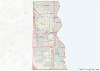
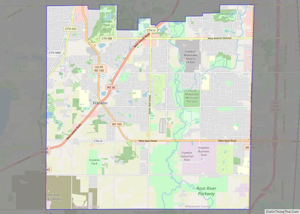
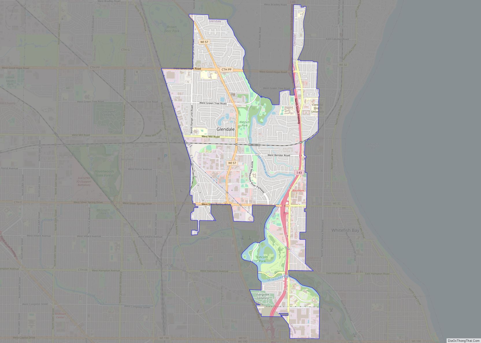
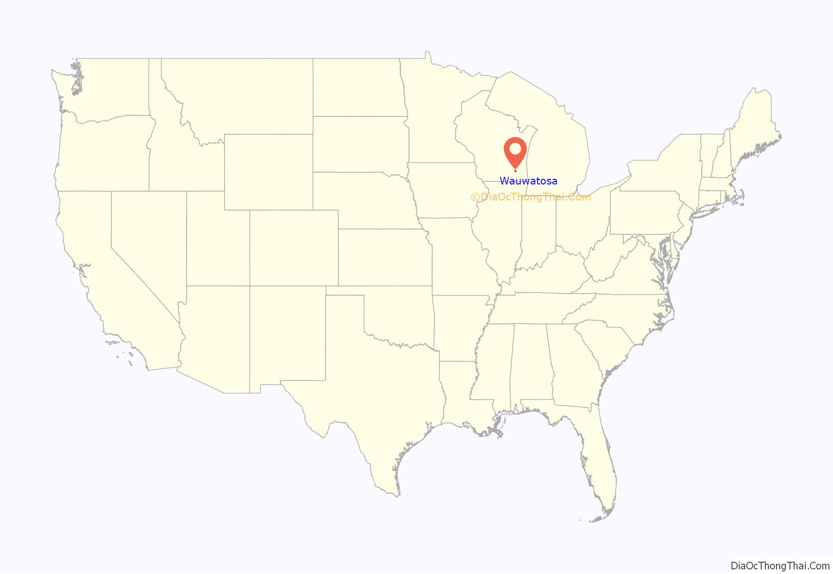
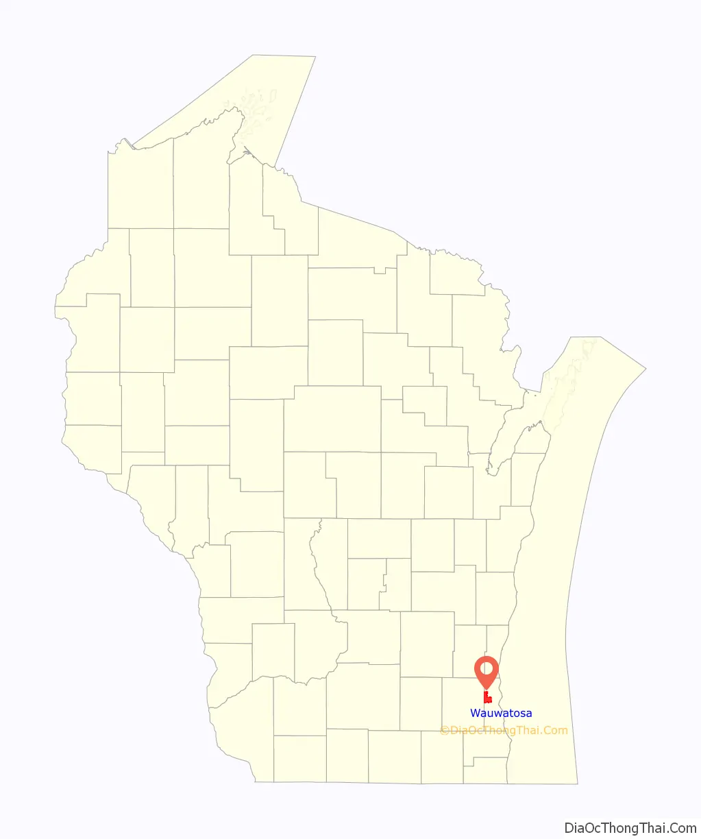
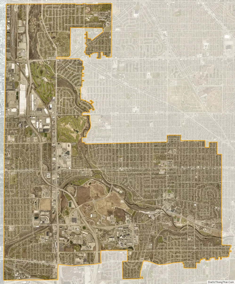
Wauwatosa location map. Where is Wauwatosa city?
History
The lush Menomonee Valley of the Wauwatosa area provided a key overland gateway between the rich glacial farmland of southeastern Wisconsin and the Port of Milwaukee. In 1835, Charles Hart became the first Euro-American to settle here, followed that year by 17 other families. The following year a United States Road was built from Milwaukee through Wauwatosa, eventually reaching Madison. Charles Hart built a mill in 1845 on the Menomonee River which gave the settlement its original name of “Hart’s Mill.” The mill was torn down in 1914.
The Town of Wau-wau-too-sa was created by act of the Wisconsin Territorial Legislature on April 30, 1840. As of the 1840 census, the population of the Town of Wau-wau-too-sa or Wauwatosa was 342. The town government was organized in 1842. The town’s borders originally extended from the present-day Greenfield Avenue in the south to Hampton Avenue in the north, and from 27th Street in the east to the Waukesha County line in the west, encompassing sections of present-day Milwaukee, West Milwaukee and West Allis, plus the southern part of former North Milwaukee, which was wholly annexed into the city of Milwaukee in 1927. Most of the town was farmland through the remainder of the 19th century.
In 1849 the Watertown Plank Road was constructed through Wauwatosa, mainly following the old Madison territorial road. In 1851 Wisconsin’s first railroad (later The Milwaukee Road) established Wauwatosa as its western terminus. The Village of Wauwatosa was incorporated from the central part of the Town of Wauwatosa in 1892, and was rechartered as the City of Wauwatosa on May 27, 1897.
Expansion
On November 25, 1952, the City of Wauwatosa more than doubled its size by annexing 8.5 square miles (22 square kilometers) of land west of the Menomonee River, the entire remaining portion of the Town of Wauwatosa, which became the home to several large cold storage and regional food distribution terminals. Industrial plants owned by firms including Harley-Davidson and Briggs & Stratton were also constructed.
In the past 40 years, western Wauwatosa has become an edge city with an important commercial and retail district built up along Milwaukee’s beltline Highway 100 and anchored by the Mayfair Mall.
Removal of cross
Wauwatosa received some national attention in 1992 when the Wauwatosa Common Council, threatened with a lawsuit, decided to remove a Christian cross from the City’s seal adopted in 1957. The cross was replaced with the text, “In God We Trust.” The seal itself was designed by 9-year old Suzanne Vallier as an entry in a contest among Wauwatosa schoolchildren. The quadrants of the logo’s shield represent, from top left going clockwise; an arrowhead representing the Indians who were the original inhabitants of the city, the mill representing Hart’s Mill which was the original name of the city, the cross representing the “city of churches”, and the symbol used on street signs representing the “city of homes.”
2020 shootings
On February 2, 2020, Alvin Cole, a 17-year-old African-American male, was shot and killed at Mayfair Mall by a police officer responding to a reported disturbance. According to authorities, Cole had been fleeing from police while carrying a stolen handgun. No charges were filed against the officer who fired the fatal shots, sparking protests.
On November 20, shooting occurred at the mall, leaving eight people injured. The shooter fled the scene afterwards and remained at large for a day, until the arrest of a 15-year-old suspect.
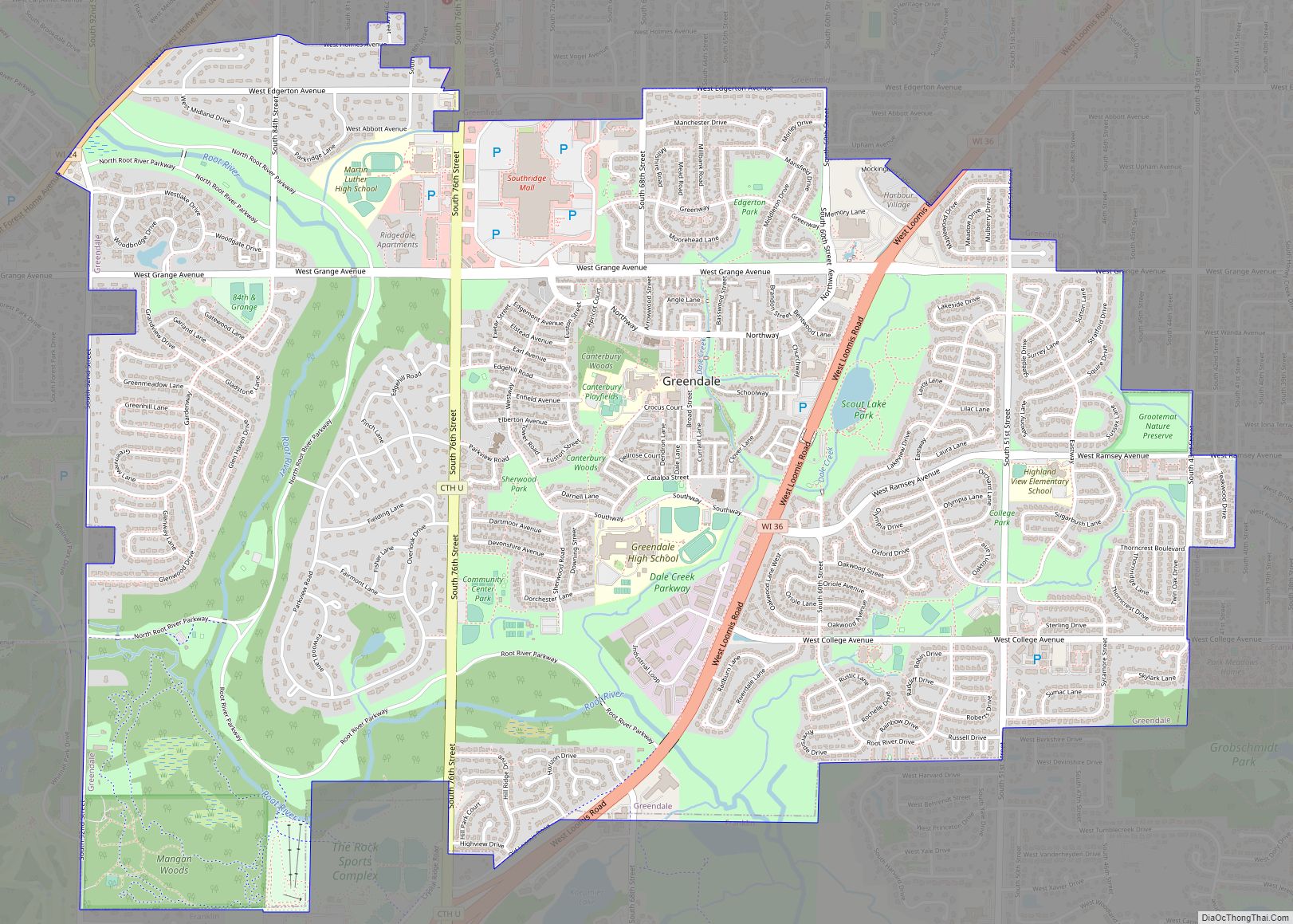
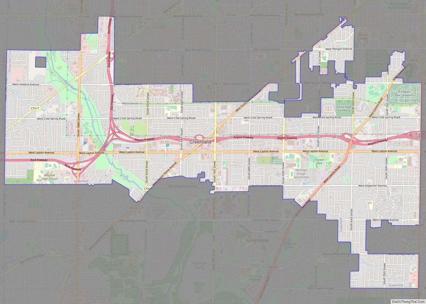
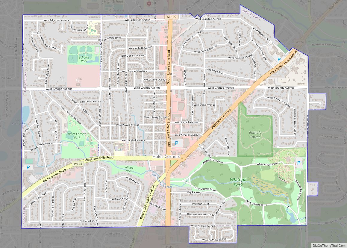
Wauwatosa Road Map
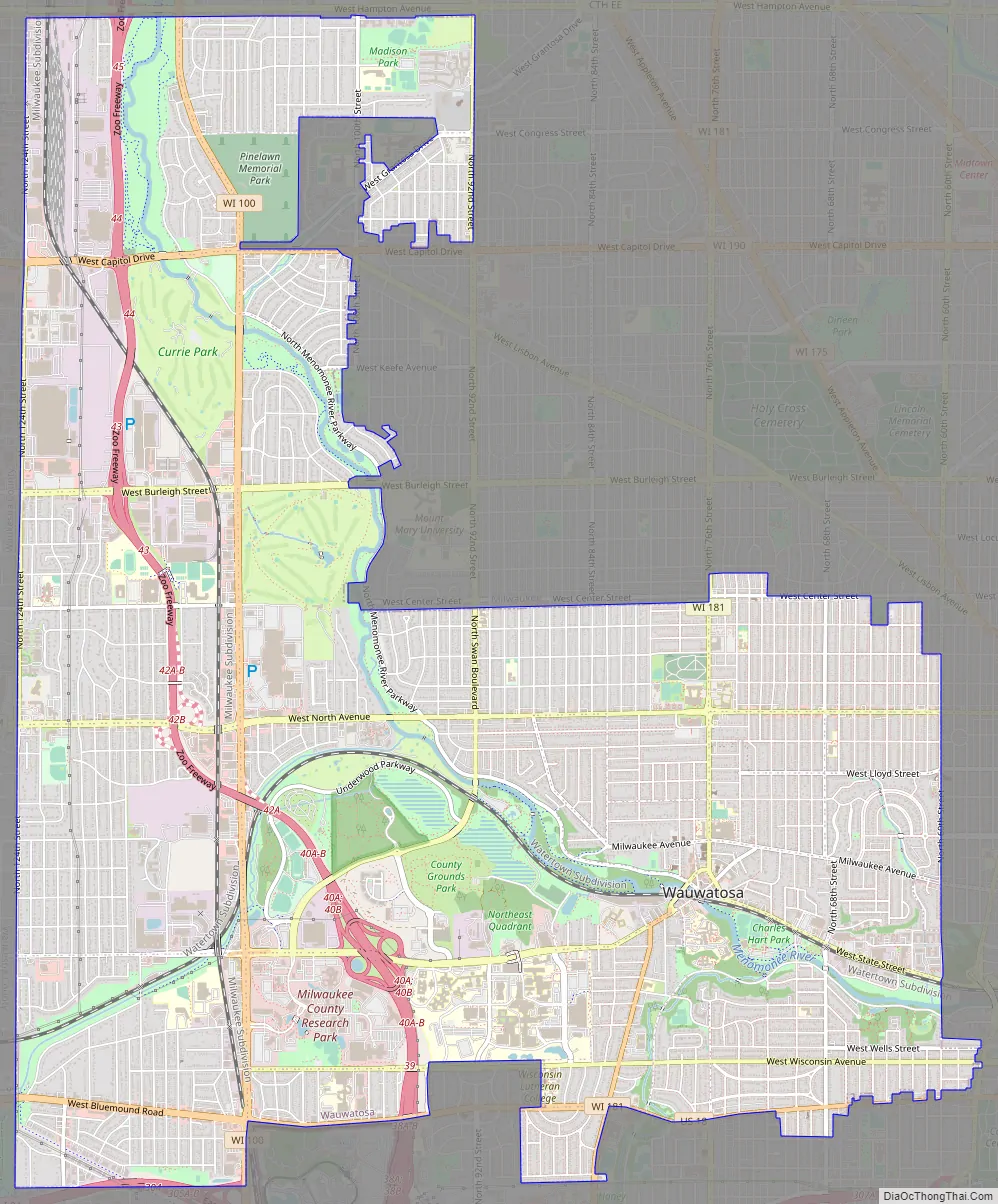
Wauwatosa city Satellite Map
Geography
According to the United States Census Bureau, the city has a total area of 13.25 square miles (34.32 km), all land.
Eastern Wauwatosa is also known for its homes and residential streets, at one time just a short streetcar ride away from downtown Milwaukee. Prior to the arrival of Dutch elm disease, many of Wauwatosa’s older residential streets had large gothic colonnades of American Elm trees. In Wauwatosa, the Menomonee Valley made it easier to quarry portions of the Niagara Escarpment, which provided the necessary materials for cream-colored bricks and limestone foundations used in many homes and public buildings throughout the region.
See also
Map of Wisconsin State and its subdivision:- Adams
- Ashland
- Barron
- Bayfield
- Brown
- Buffalo
- Burnett
- Calumet
- Chippewa
- Clark
- Columbia
- Crawford
- Dane
- Dodge
- Door
- Douglas
- Dunn
- Eau Claire
- Florence
- Fond du Lac
- Forest
- Grant
- Green
- Green Lake
- Iowa
- Iron
- Jackson
- Jefferson
- Juneau
- Kenosha
- Kewaunee
- La Crosse
- Lafayette
- Lake Michigan
- Lake Superior
- Langlade
- Lincoln
- Manitowoc
- Marathon
- Marinette
- Marquette
- Menominee
- Milwaukee
- Monroe
- Oconto
- Oneida
- Outagamie
- Ozaukee
- Pepin
- Pierce
- Polk
- Portage
- Price
- Racine
- Richland
- Rock
- Rusk
- Saint Croix
- Sauk
- Sawyer
- Shawano
- Sheboygan
- Taylor
- Trempealeau
- Vernon
- Vilas
- Walworth
- Washburn
- Washington
- Waukesha
- Waupaca
- Waushara
- Winnebago
- Wood
- Alabama
- Alaska
- Arizona
- Arkansas
- California
- Colorado
- Connecticut
- Delaware
- District of Columbia
- Florida
- Georgia
- Hawaii
- Idaho
- Illinois
- Indiana
- Iowa
- Kansas
- Kentucky
- Louisiana
- Maine
- Maryland
- Massachusetts
- Michigan
- Minnesota
- Mississippi
- Missouri
- Montana
- Nebraska
- Nevada
- New Hampshire
- New Jersey
- New Mexico
- New York
- North Carolina
- North Dakota
- Ohio
- Oklahoma
- Oregon
- Pennsylvania
- Rhode Island
- South Carolina
- South Dakota
- Tennessee
- Texas
- Utah
- Vermont
- Virginia
- Washington
- West Virginia
- Wisconsin
- Wyoming