Ardmore is a town in Limestone County, Alabama, United States, and is included in the Huntsville-Decatur Metro Area. It is home to the Saturn IB rocket at the Alabama Welcome Center, just south of the Tennessee border, on Interstate 65. As of the 2010 census, the population of the town is 1,194. It borders its sister city Ardmore, Tennessee.
| Name: | Ardmore town |
|---|---|
| LSAD Code: | 43 |
| LSAD Description: | town (suffix) |
| State: | Alabama |
| County: | Limestone County |
| Elevation: | 912 ft (278 m) |
| Total Area: | 2.05 sq mi (5.31 km²) |
| Land Area: | 2.04 sq mi (5.29 km²) |
| Water Area: | 0.01 sq mi (0.02 km²) |
| Total Population: | 1,321 |
| Population Density: | 646.91/sq mi (249.72/km²) |
| ZIP code: | 35739 |
| Area code: | 256 |
| FIPS code: | 0102260 |
| GNISfeature ID: | 2405163 |
| Website: | www.townofardmorealabama.com |
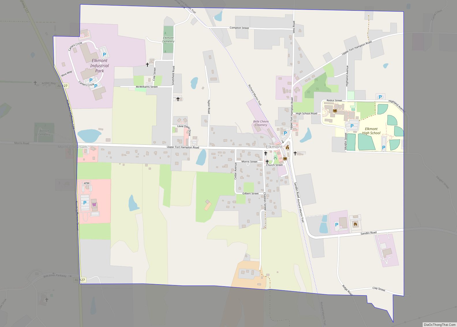
Online Interactive Map
Click on ![]() to view map in "full screen" mode.
to view map in "full screen" mode.
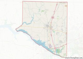
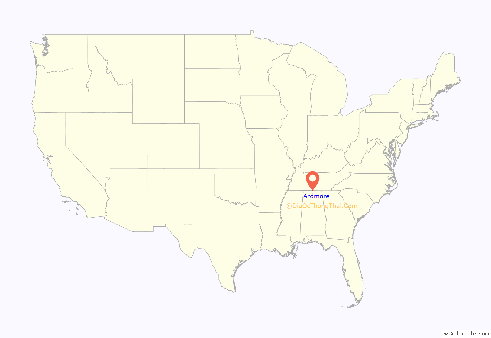
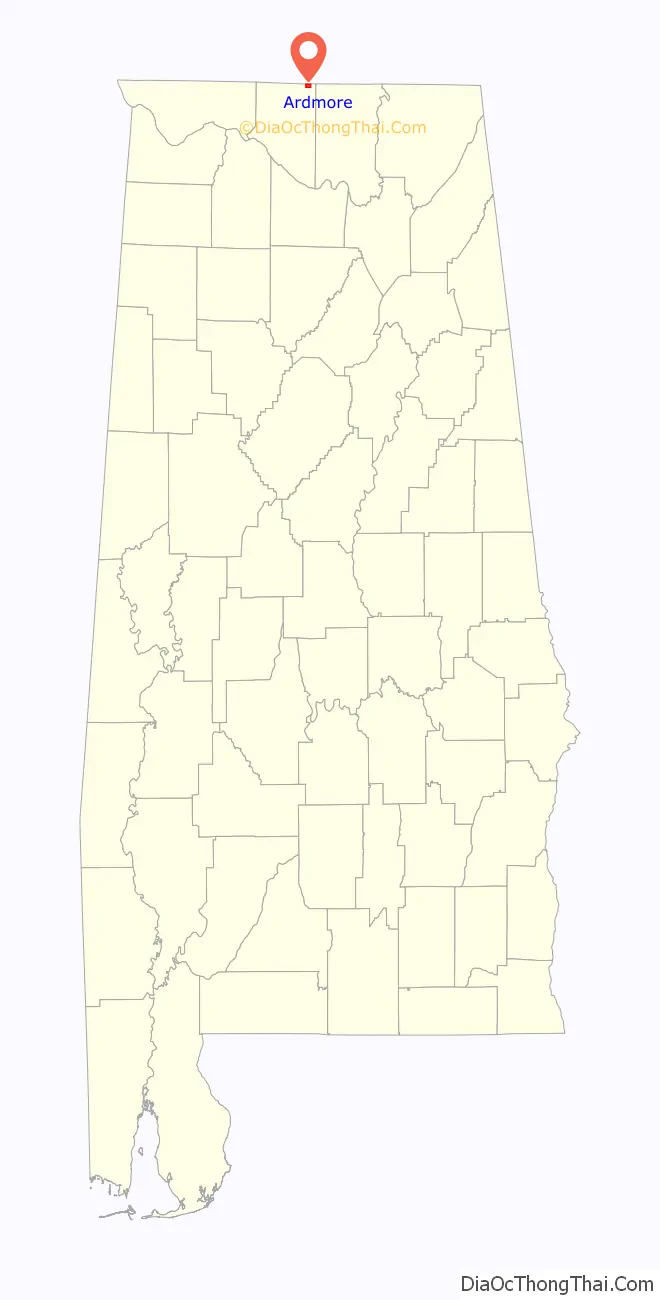
Ardmore location map. Where is Ardmore town?
History
The settlement was originally named Austin, after Alex Austin, who selected the location as a site for a station along the Louisville and Nashville Railroad. The railroad company later renamed the town Ardmore, for the community of Ardmore, Pennsylvania. Ardmore, Alabama was incorporated in 1922.
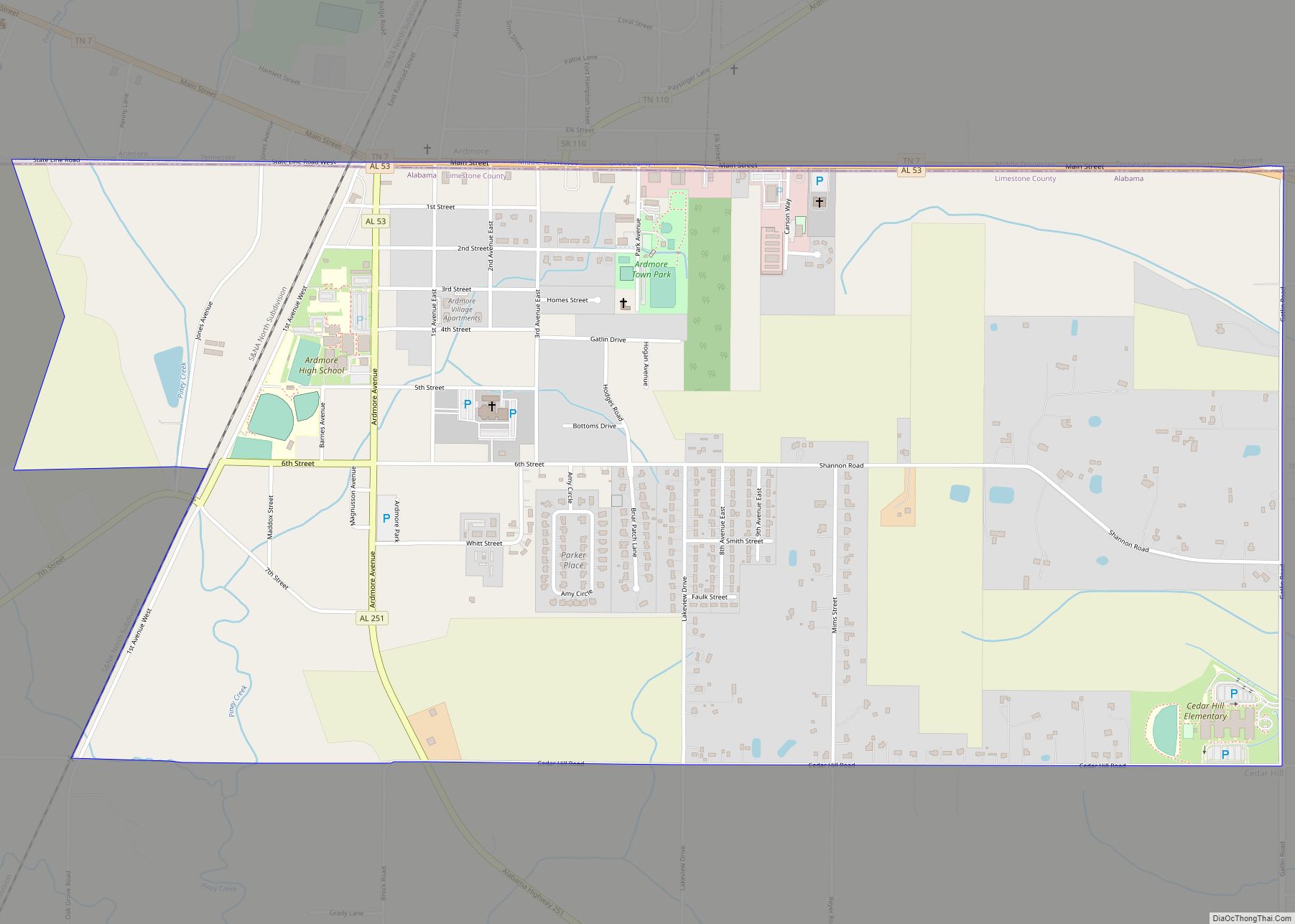
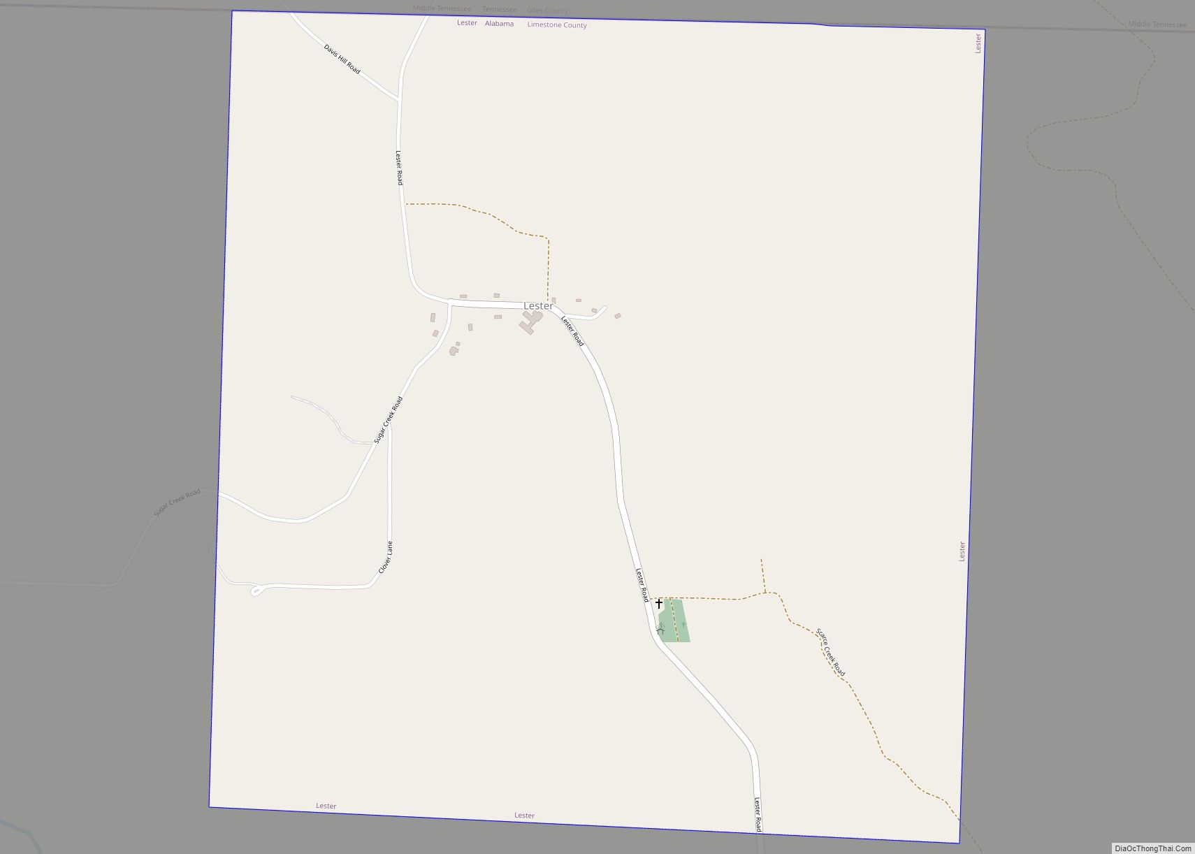
Ardmore Road Map
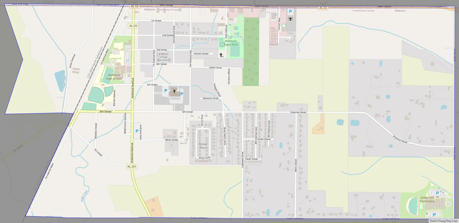
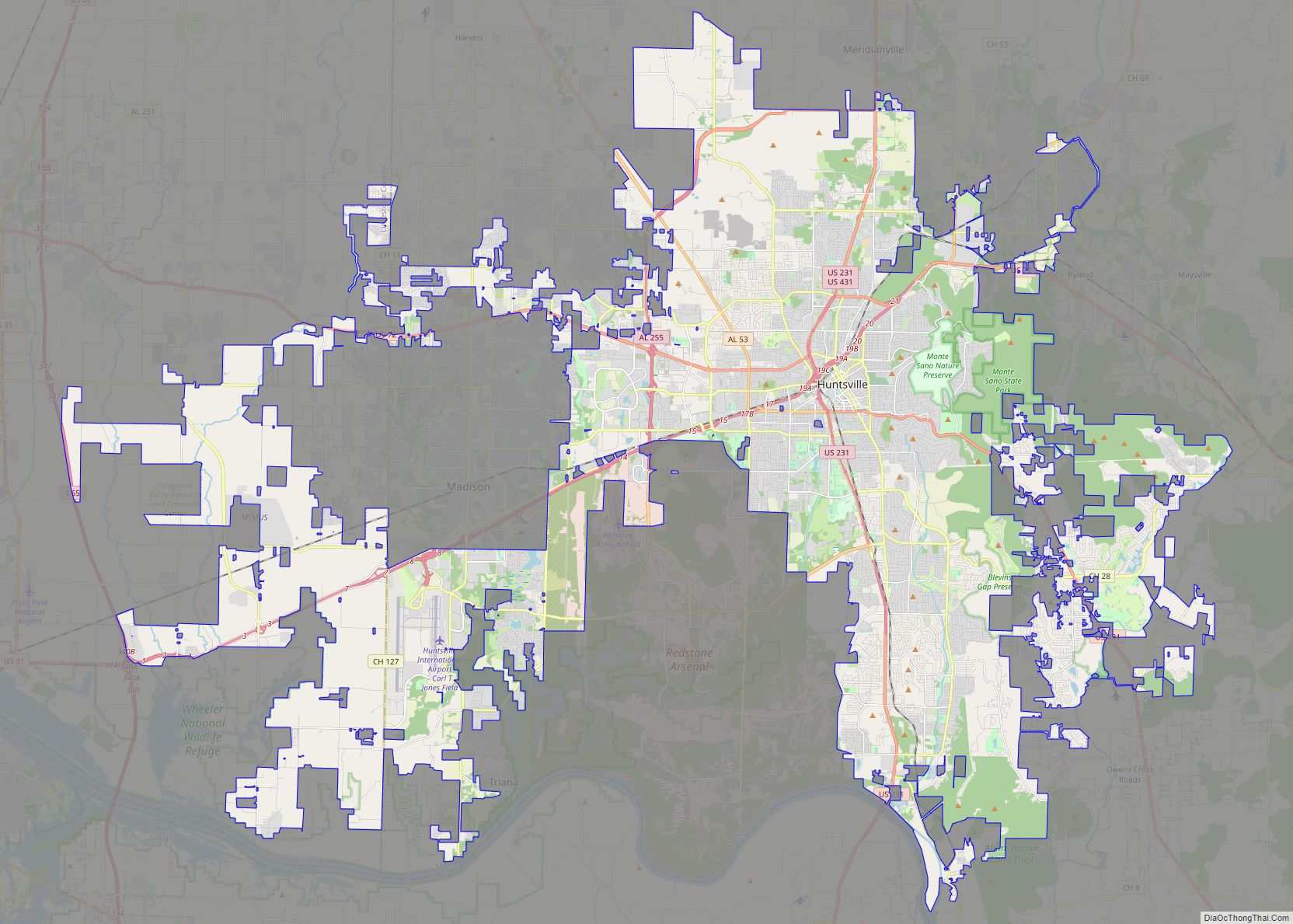
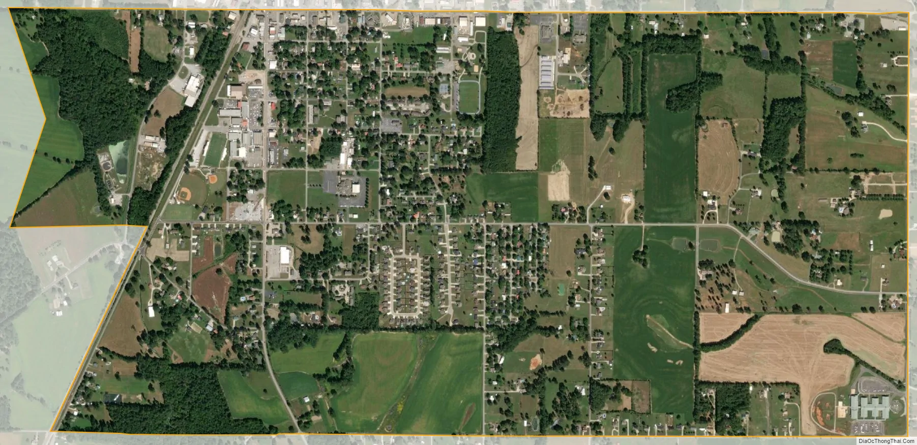
Ardmore city Satellite Map
Geography
Ardmore is located at 34°59′13″N 86°50′36″W / 34.98694°N 86.84333°W / 34.98694; -86.84333 (34.987052, -86.843228). It is the northernmost settlement in the state of Alabama. The town is concentrated along Alabama State Route 53, which runs south to north along Ardmore Avenue before veering east along the state line, where it runs congruent with Tennessee State Route 7 on Main Street. Interstate 65, which connects Nashville and Birmingham, passes just west of Ardmore.
Main Street is the state line. The road heading northbound/westbound is in Tennessee, while southbound/eastbound is in Alabama.
According to the U.S. Census Bureau, the town has a total area of 2.0 square miles (5.2 km), all land.
See also
Map of Alabama State and its subdivision:- Autauga
- Baldwin
- Barbour
- Bibb
- Blount
- Bullock
- Butler
- Calhoun
- Chambers
- Cherokee
- Chilton
- Choctaw
- Clarke
- Clay
- Cleburne
- Coffee
- Colbert
- Conecuh
- Coosa
- Covington
- Crenshaw
- Cullman
- Dale
- Dallas
- De Kalb
- Elmore
- Escambia
- Etowah
- Fayette
- Franklin
- Geneva
- Greene
- Hale
- Henry
- Houston
- Jackson
- Jefferson
- Lamar
- Lauderdale
- Lawrence
- Lee
- Limestone
- Lowndes
- Macon
- Madison
- Marengo
- Marion
- Marshall
- Mobile
- Monroe
- Montgomery
- Morgan
- Perry
- Pickens
- Pike
- Randolph
- Russell
- Saint Clair
- Shelby
- Sumter
- Talladega
- Tallapoosa
- Tuscaloosa
- Walker
- Washington
- Wilcox
- Winston
- Alabama
- Alaska
- Arizona
- Arkansas
- California
- Colorado
- Connecticut
- Delaware
- District of Columbia
- Florida
- Georgia
- Hawaii
- Idaho
- Illinois
- Indiana
- Iowa
- Kansas
- Kentucky
- Louisiana
- Maine
- Maryland
- Massachusetts
- Michigan
- Minnesota
- Mississippi
- Missouri
- Montana
- Nebraska
- Nevada
- New Hampshire
- New Jersey
- New Mexico
- New York
- North Carolina
- North Dakota
- Ohio
- Oklahoma
- Oregon
- Pennsylvania
- Rhode Island
- South Carolina
- South Dakota
- Tennessee
- Texas
- Utah
- Vermont
- Virginia
- Washington
- West Virginia
- Wisconsin
- Wyoming