Calera is a city in Shelby and Chilton counties in the U.S. state of Alabama. It is the location of the Shelby County Airport.
As of the 2010 census Calera had a population of 11,620, more than tripling its total in 2000, making it the fastest-growing city in Alabama. It is within the Birmingham–Hoover, Alabama Metropolitan Statistical Area.
| Name: | Calera city |
|---|---|
| LSAD Code: | 25 |
| LSAD Description: | city (suffix) |
| State: | Alabama |
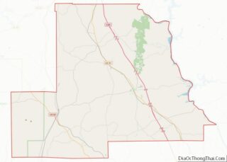
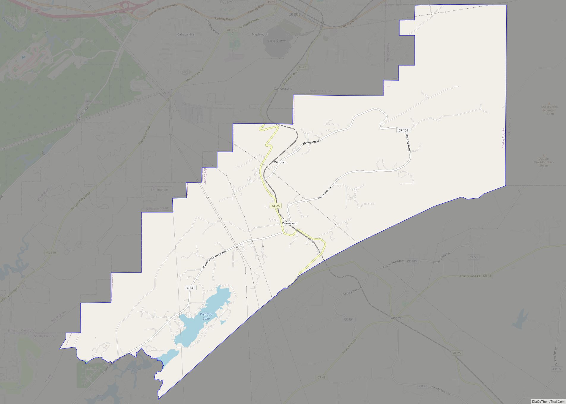
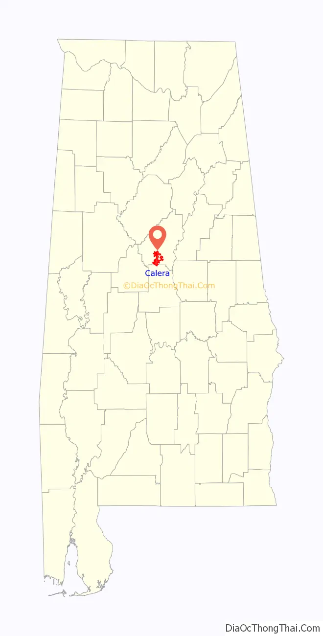
| County: | Chilton County, Shelby County |
| Elevation: | 558 ft (170 m) |
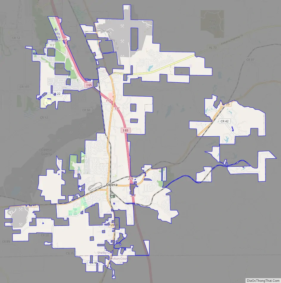
| Total Area: | 24.47 sq mi (63.38 km²) |
| Land Area: | 24.21 sq mi (62.70 km²) |
| Water Area: | 0.26 sq mi (0.68 km²) |
| Total Population: | 16,494 |
| Population Density: | 681.32/sq mi (263.05/km²) |
| ZIP code: | 35040 |
| Area code: | 205, 659 |
| FIPS code: | 0111416 |
| GNISfeature ID: | 2403965 |
| Website: | www.cityofcalera.org |
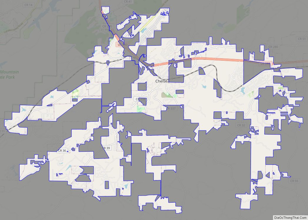
Online Interactive Map
Click on ![]() to view map in "full screen" mode.
to view map in "full screen" mode.
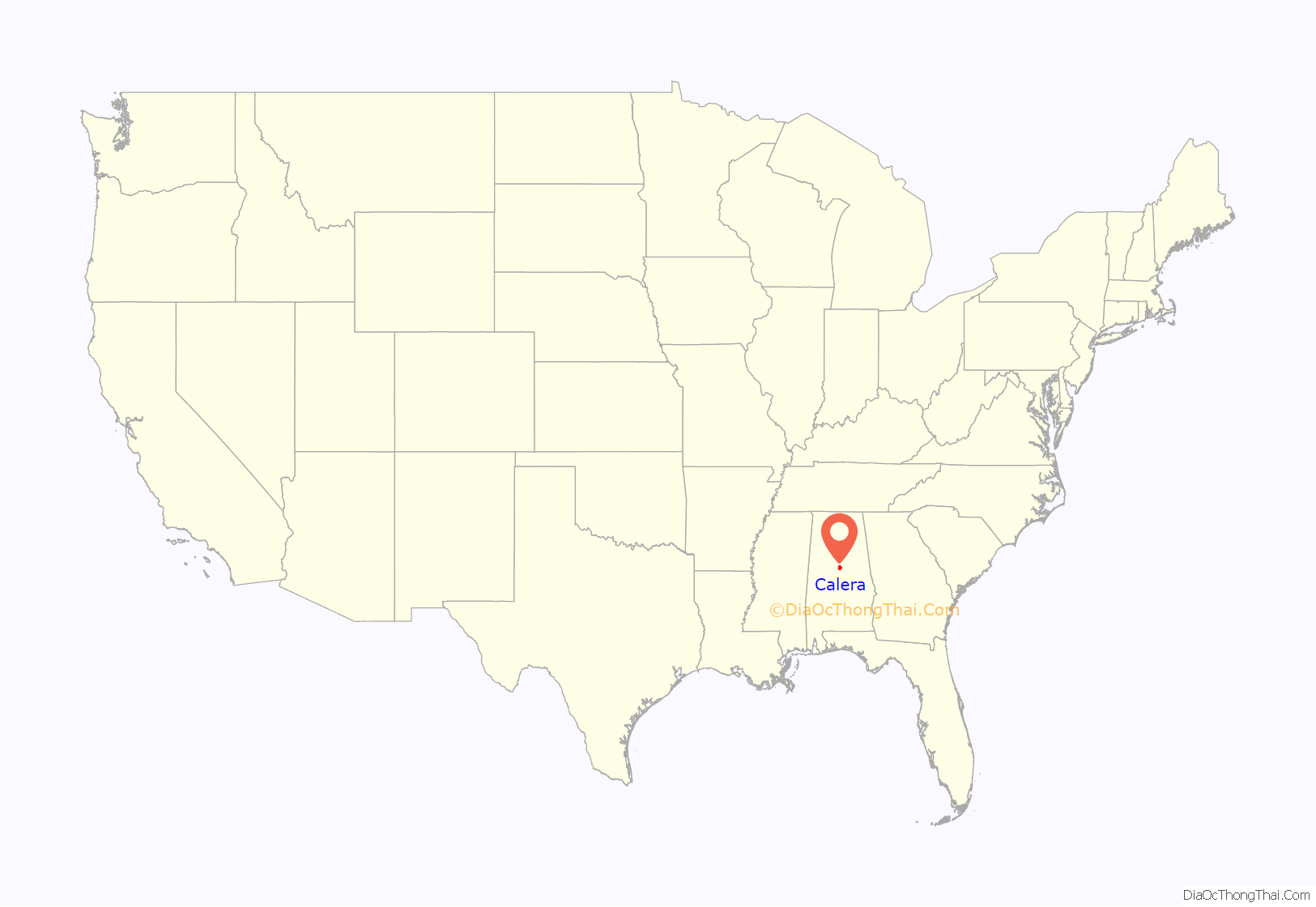
Calera location map. Where is Calera city?
History
The city of Calera was incorporated in 1887, and named after the Spanish word for “quarry” for all of the limestone deposits located in the area.
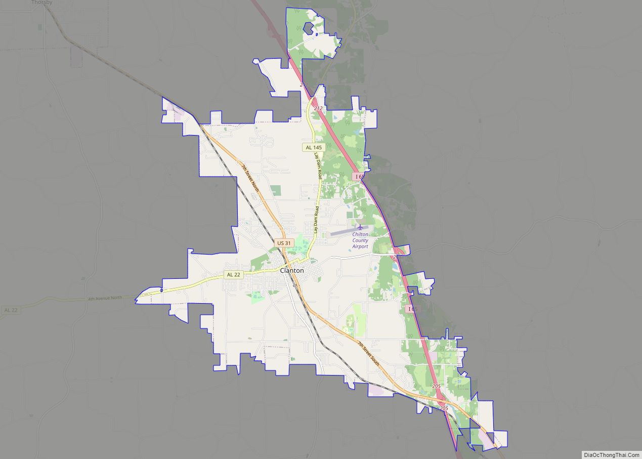
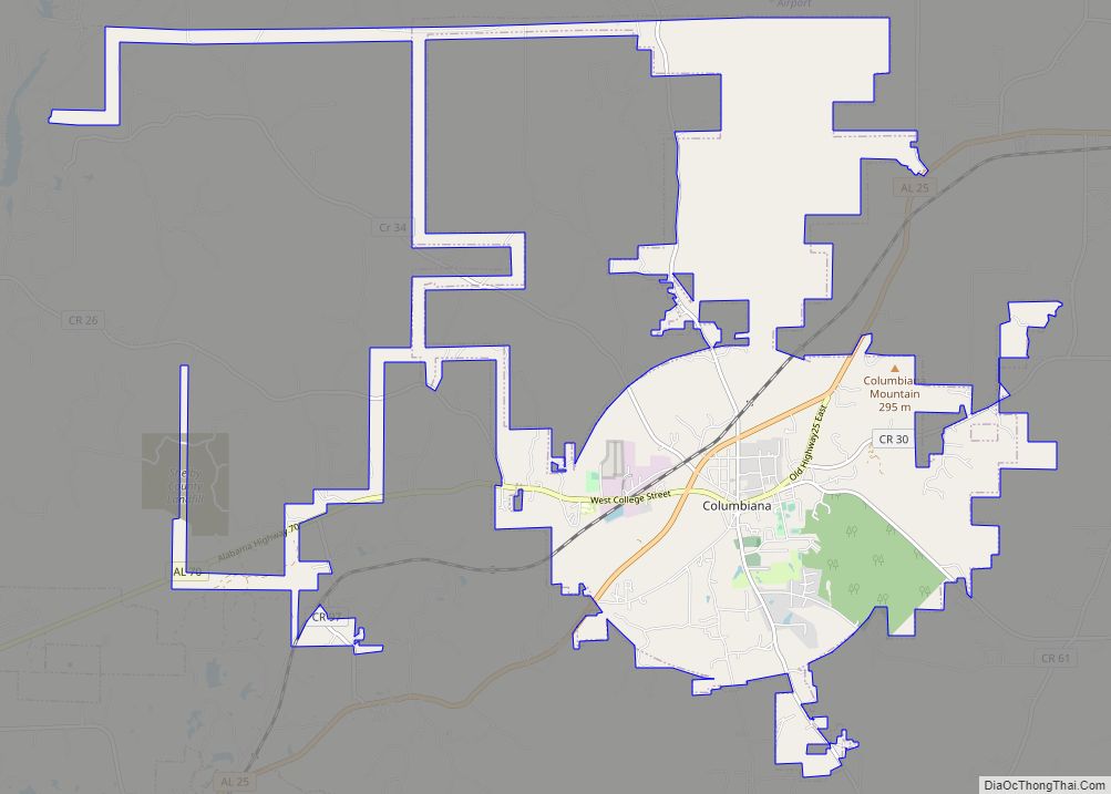
Calera Road Map
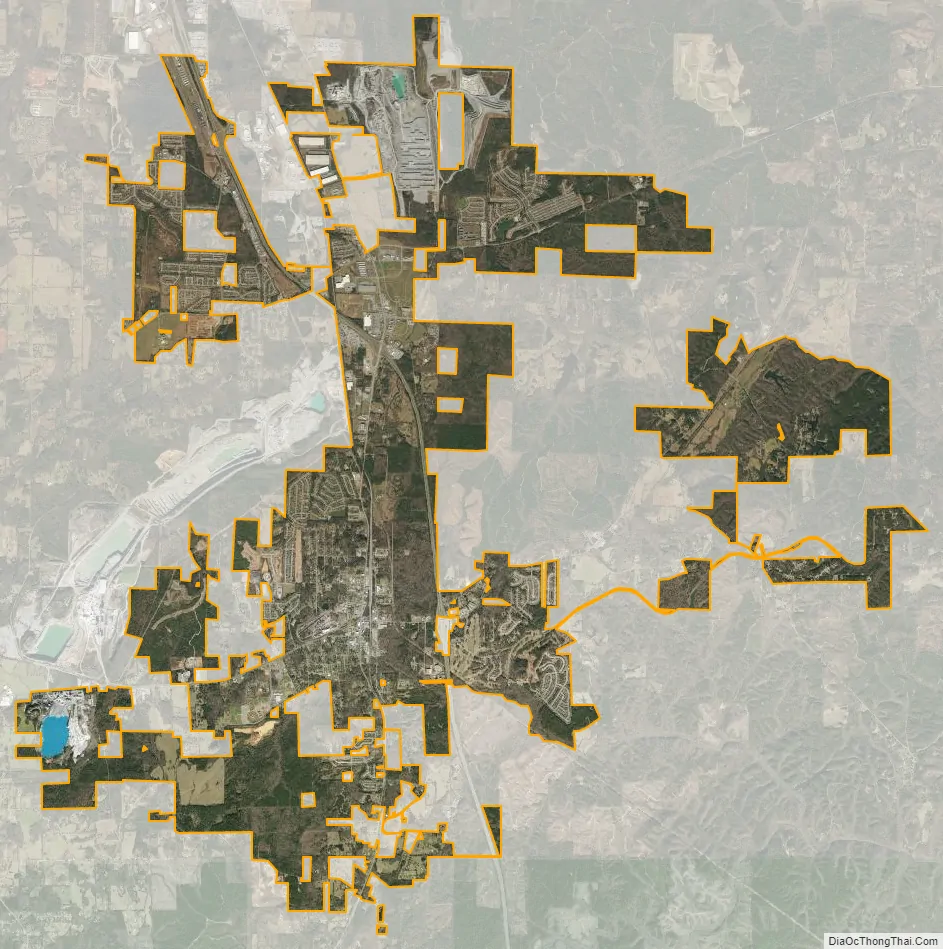
Calera city Satellite Map
Geography
Calera is located in southern Shelby County and the city limits extend southward into Chilton County along U.S. Route 31, the main highway through the city. Interstate 65 passes through the eastern side of the city, with access from exits 228, 231, and 234. Birmingham is 34 mi (55 km) north, and Montgomery is 59 mi (95 km) south, both via I-65.
According to the United States Census Bureau, the city has a total area of 24.4 square miles (63.1 km), of which 24.1 square miles (62.4 km) is land and 0.27 square miles (0.7 km), or 1.17%, is water.
See also
Map of Alabama State and its subdivision:- Autauga
- Baldwin
- Barbour
- Bibb
- Blount
- Bullock
- Butler
- Calhoun
- Chambers
- Cherokee
- Chilton
- Choctaw
- Clarke
- Clay
- Cleburne
- Coffee
- Colbert
- Conecuh
- Coosa
- Covington
- Crenshaw
- Cullman
- Dale
- Dallas
- De Kalb
- Elmore
- Escambia
- Etowah
- Fayette
- Franklin
- Geneva
- Greene
- Hale
- Henry
- Houston
- Jackson
- Jefferson
- Lamar
- Lauderdale
- Lawrence
- Lee
- Limestone
- Lowndes
- Macon
- Madison
- Marengo
- Marion
- Marshall
- Mobile
- Monroe
- Montgomery
- Morgan
- Perry
- Pickens
- Pike
- Randolph
- Russell
- Saint Clair
- Shelby
- Sumter
- Talladega
- Tallapoosa
- Tuscaloosa
- Walker
- Washington
- Wilcox
- Winston
- Alabama
- Alaska
- Arizona
- Arkansas
- California
- Colorado
- Connecticut
- Delaware
- District of Columbia
- Florida
- Georgia
- Hawaii
- Idaho
- Illinois
- Indiana
- Iowa
- Kansas
- Kentucky
- Louisiana
- Maine
- Maryland
- Massachusetts
- Michigan
- Minnesota
- Mississippi
- Missouri
- Montana
- Nebraska
- Nevada
- New Hampshire
- New Jersey
- New Mexico
- New York
- North Carolina
- North Dakota
- Ohio
- Oklahoma
- Oregon
- Pennsylvania
- Rhode Island
- South Carolina
- South Dakota
- Tennessee
- Texas
- Utah
- Vermont
- Virginia
- Washington
- West Virginia
- Wisconsin
- Wyoming