New Cuyama (Chumash: Kuyam, meaning “Clam”) is a census-designated place in the Cuyama Valley, Santa Barbara County, California. It was named after the Chumash word for “clams”, most likely due to the millions of petrified prehistoric clamshell fossils that are found in the surrounding areas. The town is home to the majority of the utility infrastructure for its residents, including nearby neighbor Cuyama, California. New Cuyama is located very close to the intersection points for Santa Barbara, San Luis Obispo, Ventura and Kern counties. The town is served by Highway 166 (connecting U.S. Route 101 and Interstate 5) and the public-use New Cuyama Airport. The population was 542 at the 2020 census.
| Name: | New Cuyama CDP |
|---|---|
| LSAD Code: | 57 |
| LSAD Description: | CDP (suffix) |
| State: | California |
| County: | Santa Barbara County |
| Elevation: | 2,150 ft (660 m) |
| Total Area: | 0.706 sq mi (1.827 km²) |
| Land Area: | 0.706 sq mi (1.827 km²) |
| Water Area: | 0 sq mi (0 km²) 0% |
| Total Population: | 542 |
| Population Density: | 770/sq mi (300/km²) |
| ZIP code: | 93254 |
| Area code: | 661 |
| FIPS code: | 0651028 |
| Website: | www.countyofsb.org |
Online Interactive Map
Click on ![]() to view map in "full screen" mode.
to view map in "full screen" mode.
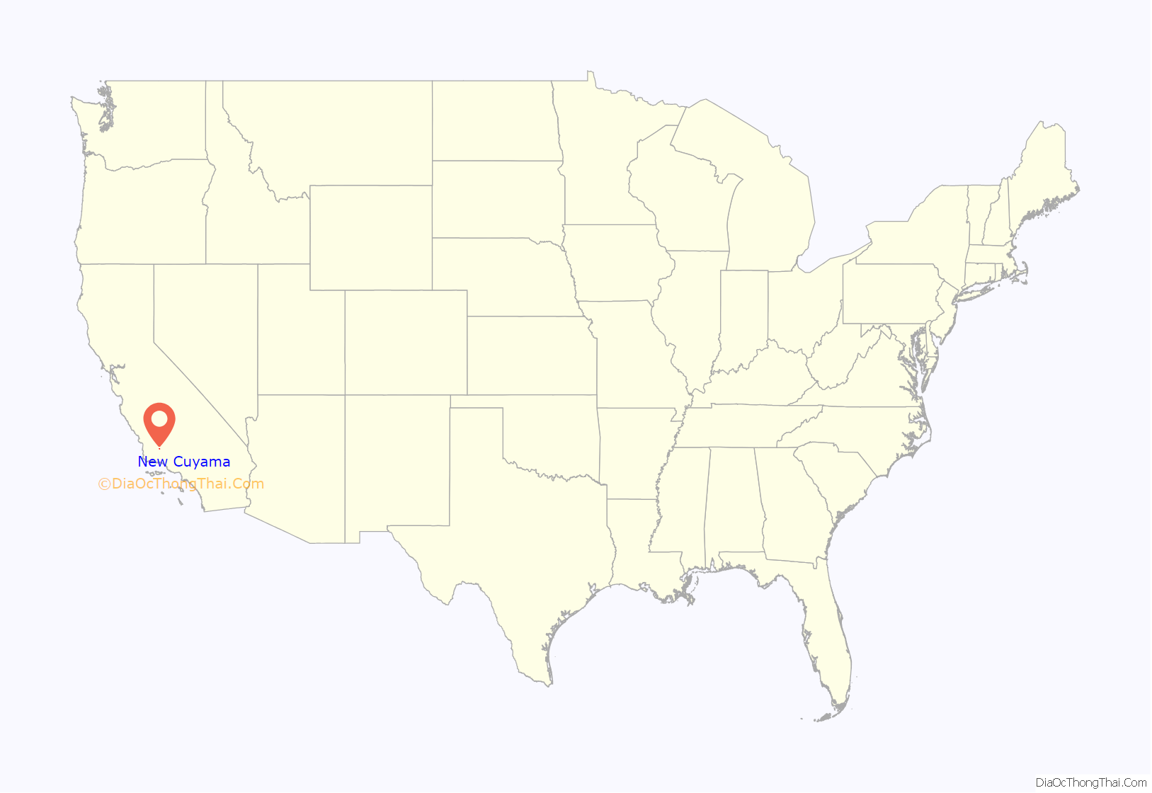
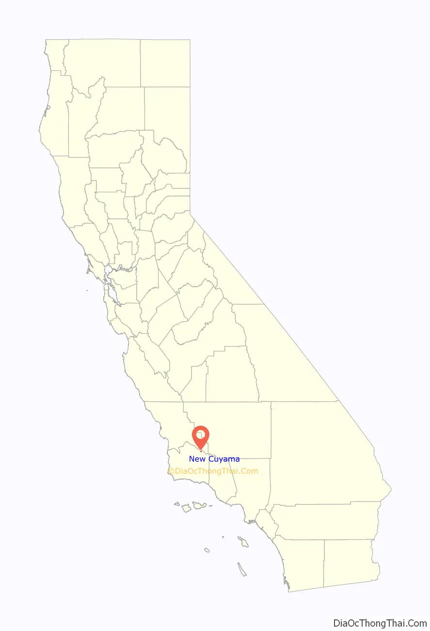
New Cuyama location map. Where is New Cuyama CDP?
History
The area was considered territory of the Yokuts people, but Chumash Indians from the Pacific Coast are also known to have frequented the area. The imprint of an old Indian trail can still be seen leading over the hills of present-day Ventura County to the headwaters of Piru Creek. The name “Cuyama” comes from an Indian village named for the Chumash word kuyam, meaning “clam” or “freshwater mollusk”.
The area’s recorded history dates to 1822, when Mexico won independence from Spain and took over the Spanish colony of Alta California. Two Mexican land grants, the Rancho Cuyama (Lataillade) and Rancho Cuyama (Rojo), were granted in the 1840s by Governors Manuel Micheltorena and Pío Pico in the lower Cuyama Valley along the Cuyama River, where present-day New Cuyama is, privatizing ownership of the land.
Following the 1949 discovery of oil at the South Cuyama Oil Field, in 1952 the Atlantic Richfield Company (ARCO) settled and developed the town of New Cuyama, building housing and associated commercial business – including the New Cuyama Airport (L88), reopened in May 2015, which bears the distinction of being the only public-use paved airport within easy flying range of Los Angeles for more than 50 miles (80 km). Much of the infrastructure from ARCO’s settling of the town still exists today and is used by town residents. The original ARCO-built gas processing plant is still in use and easily seen due south of New Cuyama, though ARCO has since sold off interest in the facility.
The town of New Cuyama, at its founding, was considered the pearl of eastern Santa Barbara County, due to the flow of oil that was coming out of the region. During this time Richfield Oil Company built the town funded schools and provided all the important utilities other than electricity. Now that oil and gas production have declined, the principal industry is once again agriculture.
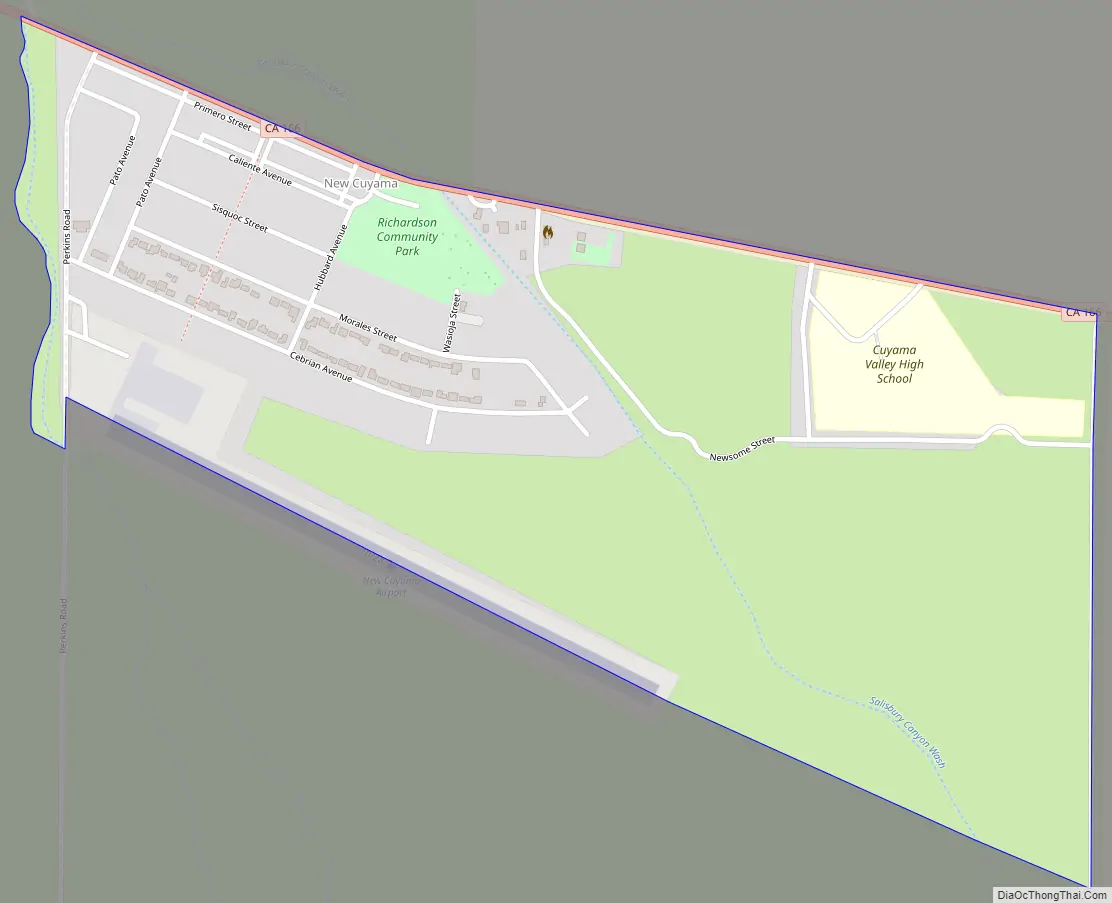
New Cuyama Road Map
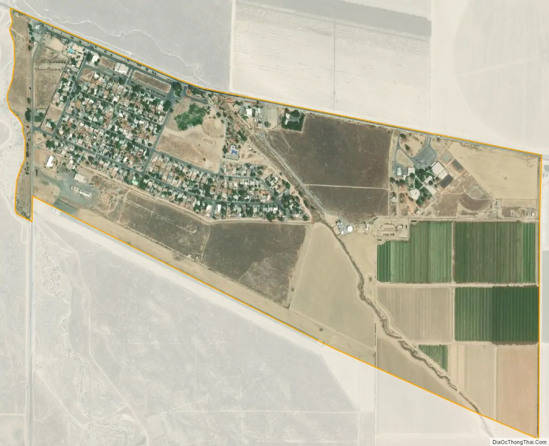
New Cuyama city Satellite Map
Geography
New Cuyama is located at 34°56′53″N 119°41′21″W / 34.947933°N 119.68915°W / 34.947933; -119.68915 (34.947933, -119.68915). It is situated in the Cuyama Valley.
According to the United States Census Bureau, the CDP covers an area of 0.7 square miles (1.8 km), all of it land.
Climate
New Cuyama has a steppe climate (BSk). This region experiences hot and dry summers, with the warmest month having a daily mean of 75 degrees.
See also
Map of California State and its subdivision:- Alameda
- Alpine
- Amador
- Butte
- Calaveras
- Colusa
- Contra Costa
- Del Norte
- El Dorado
- Fresno
- Glenn
- Humboldt
- Imperial
- Inyo
- Kern
- Kings
- Lake
- Lassen
- Los Angeles
- Madera
- Marin
- Mariposa
- Mendocino
- Merced
- Modoc
- Mono
- Monterey
- Napa
- Nevada
- Orange
- Placer
- Plumas
- Riverside
- Sacramento
- San Benito
- San Bernardino
- San Diego
- San Francisco
- San Joaquin
- San Luis Obispo
- San Mateo
- Santa Barbara
- Santa Clara
- Santa Cruz
- Shasta
- Sierra
- Siskiyou
- Solano
- Sonoma
- Stanislaus
- Sutter
- Tehama
- Trinity
- Tulare
- Tuolumne
- Ventura
- Yolo
- Yuba
- Alabama
- Alaska
- Arizona
- Arkansas
- California
- Colorado
- Connecticut
- Delaware
- District of Columbia
- Florida
- Georgia
- Hawaii
- Idaho
- Illinois
- Indiana
- Iowa
- Kansas
- Kentucky
- Louisiana
- Maine
- Maryland
- Massachusetts
- Michigan
- Minnesota
- Mississippi
- Missouri
- Montana
- Nebraska
- Nevada
- New Hampshire
- New Jersey
- New Mexico
- New York
- North Carolina
- North Dakota
- Ohio
- Oklahoma
- Oregon
- Pennsylvania
- Rhode Island
- South Carolina
- South Dakota
- Tennessee
- Texas
- Utah
- Vermont
- Virginia
- Washington
- West Virginia
- Wisconsin
- Wyoming


