Lytle Creek is a census-designated place in the San Gabriel Mountains, within San Bernardino County.
It is about 16 miles (26 km) northwest of downtown San Bernardino and 10 miles (16 km) from the cities of Fontana and Rialto. This small remote community is located in a large southeast-trending canyon on the eastern portion of the San Gabriel Mountains completely within the boundaries of the San Bernardino National Forest. The population was 701 at the 2010 census.
The ZIP Code for Lytle Creek is 92358 and the community is inside area code 909.
| Name: | Lytle Creek CDP |
|---|---|
| LSAD Code: | 57 |
| LSAD Description: | CDP (suffix) |
| State: | California |
| County: | San Bernardino County |
| Elevation: | 3,419 ft (1,042 m) |
| Total Area: | 6.018 sq mi (15.586 km²) |
| Land Area: | 6.018 sq mi (15.586 km²) |
| Water Area: | 0 sq mi (0 km²) 0% |
| Total Population: | 701 |
| Population Density: | 120/sq mi (45/km²) |
| ZIP code: | 92358 |
| Area code: | 909 |
| FIPS code: | 0644644 |
Online Interactive Map
Click on ![]() to view map in "full screen" mode.
to view map in "full screen" mode.
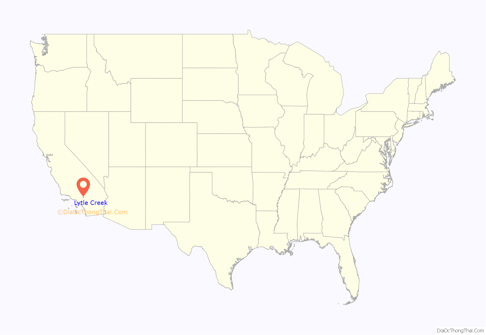
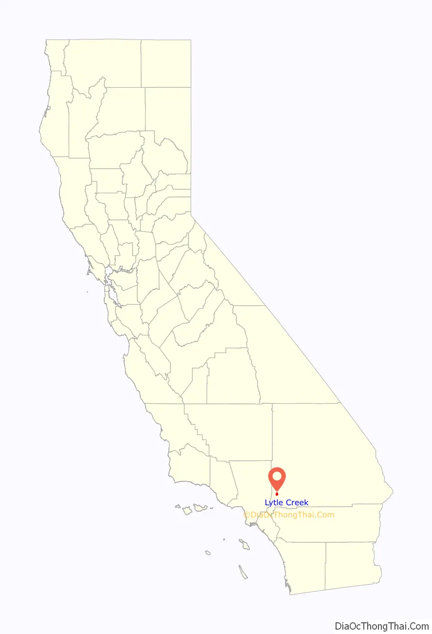
Lytle Creek location map. Where is Lytle Creek CDP?
History
A group of Mormons arrived in the valley in 1851, making camp at the mouth of a canyon with a creek, which flowed briskly southeast through the canyon to the valley and the Santa Ana River. Overjoyed with the abundance of water, the dense growth of willows, cottonwoods and sycamores and the mustard and wild oats that grew on the hillsides, the settlers of San Bernardino named the stream “Lytle Creek” after their leader, Captain Andrew Lytle. Lytle Creek Canyon has been a site for gold mining, farming and recreation activities such as fishing, camping, picnicking, and hiking. It has been considered a recreational area since the early 1870s.
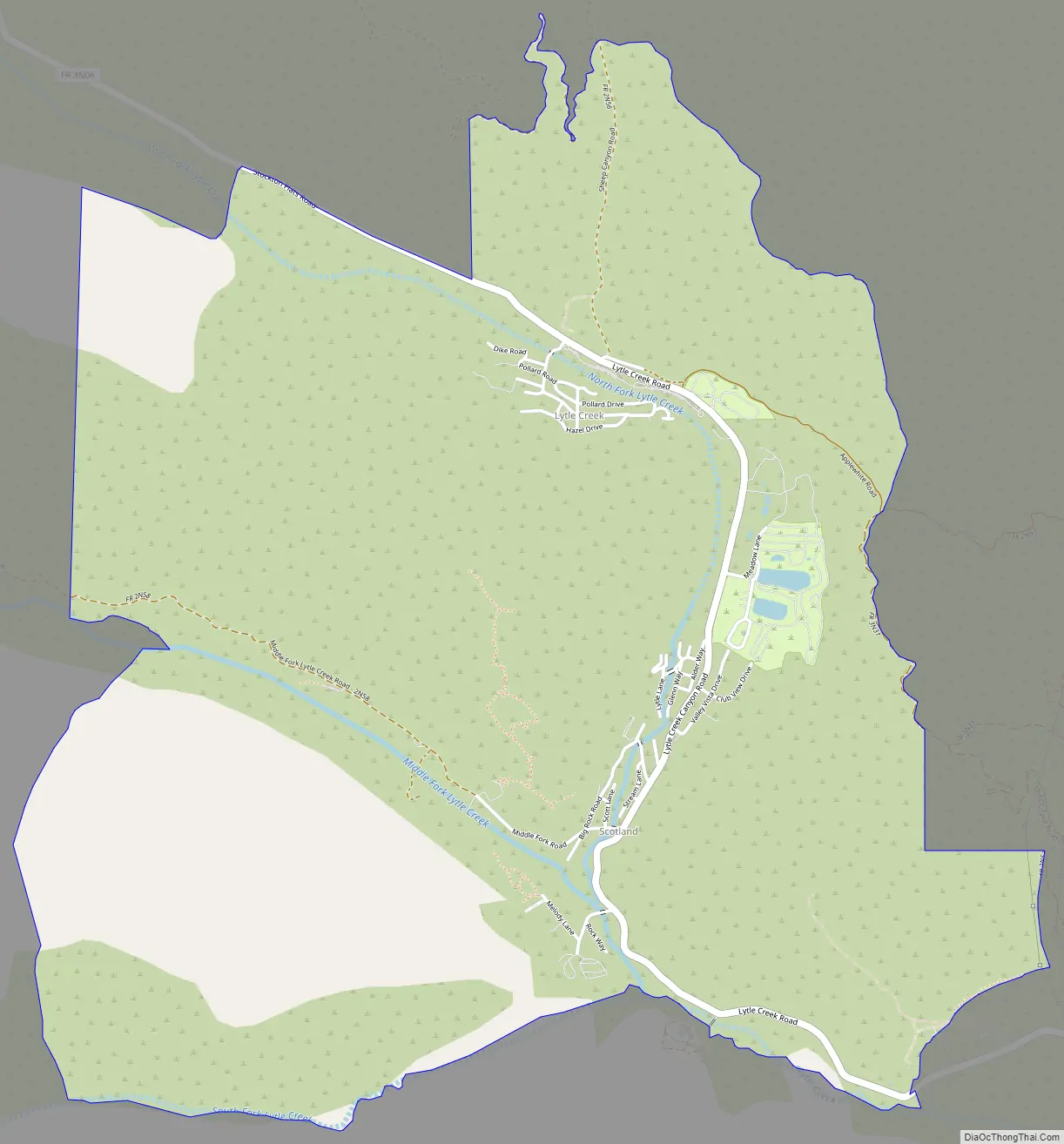
Lytle Creek Road Map
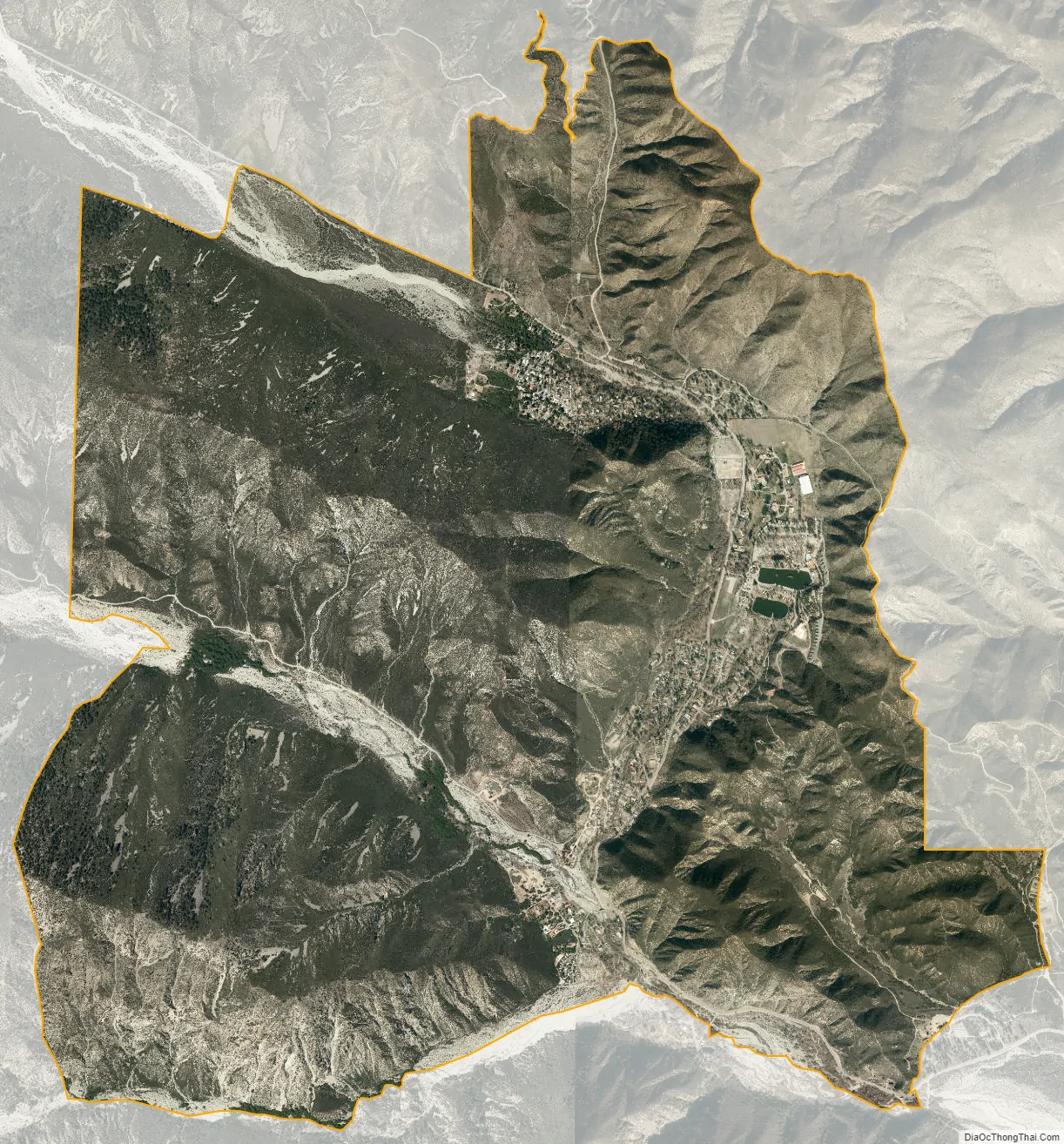
Lytle Creek city Satellite Map
Geography
According to the United States Census Bureau, the CDP covers an area of 6.0 square miles (15.6 km), all of it land.
Climate
According to the Köppen Climate Classification system, Lytle Creek has a warm-summer Mediterranean climate, abbreviated “Csa” on climate maps.
See also
Map of California State and its subdivision:- Alameda
- Alpine
- Amador
- Butte
- Calaveras
- Colusa
- Contra Costa
- Del Norte
- El Dorado
- Fresno
- Glenn
- Humboldt
- Imperial
- Inyo
- Kern
- Kings
- Lake
- Lassen
- Los Angeles
- Madera
- Marin
- Mariposa
- Mendocino
- Merced
- Modoc
- Mono
- Monterey
- Napa
- Nevada
- Orange
- Placer
- Plumas
- Riverside
- Sacramento
- San Benito
- San Bernardino
- San Diego
- San Francisco
- San Joaquin
- San Luis Obispo
- San Mateo
- Santa Barbara
- Santa Clara
- Santa Cruz
- Shasta
- Sierra
- Siskiyou
- Solano
- Sonoma
- Stanislaus
- Sutter
- Tehama
- Trinity
- Tulare
- Tuolumne
- Ventura
- Yolo
- Yuba
- Alabama
- Alaska
- Arizona
- Arkansas
- California
- Colorado
- Connecticut
- Delaware
- District of Columbia
- Florida
- Georgia
- Hawaii
- Idaho
- Illinois
- Indiana
- Iowa
- Kansas
- Kentucky
- Louisiana
- Maine
- Maryland
- Massachusetts
- Michigan
- Minnesota
- Mississippi
- Missouri
- Montana
- Nebraska
- Nevada
- New Hampshire
- New Jersey
- New Mexico
- New York
- North Carolina
- North Dakota
- Ohio
- Oklahoma
- Oregon
- Pennsylvania
- Rhode Island
- South Carolina
- South Dakota
- Tennessee
- Texas
- Utah
- Vermont
- Virginia
- Washington
- West Virginia
- Wisconsin
- Wyoming


