Santa Ynez (/ɪˈnɛz/; Spanish for “St. Agnes”) is a census-designated place (CDP) in the Santa Ynez Valley of Santa Barbara County, California.
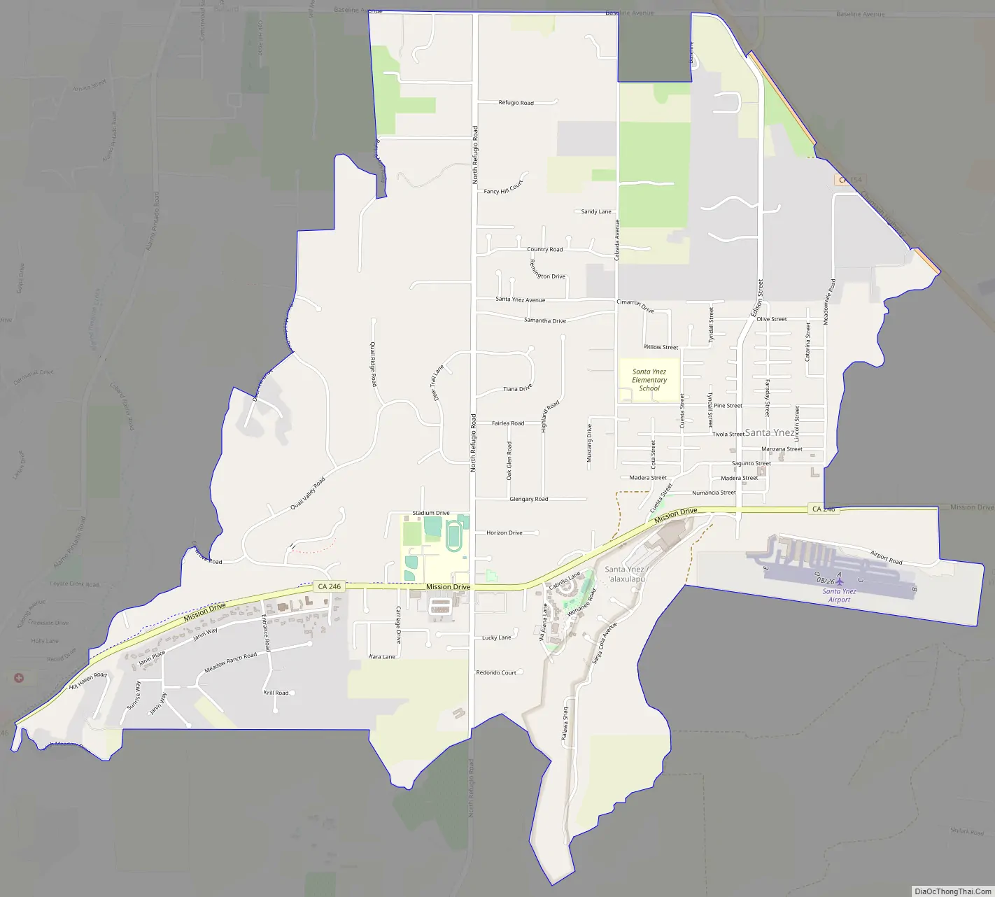
The town of Santa Ynez is one of the communities of the Santa Ynez Valley. It features the Santa Ynez Airport for general aviation, with a paved 2,804 by 75 feet (855 m × 23 m) runway. The population was 4,505 at the 2020 census, up from 4,418 at the 2010 census. Santa Ynez is the archaic spelling of Santa Inés in the Spanish, meaning Saint Agnes.
| Name: | Santa Ynez CDP |
|---|---|
| LSAD Code: | 57 |
| LSAD Description: | CDP (suffix) |
| State: | California |
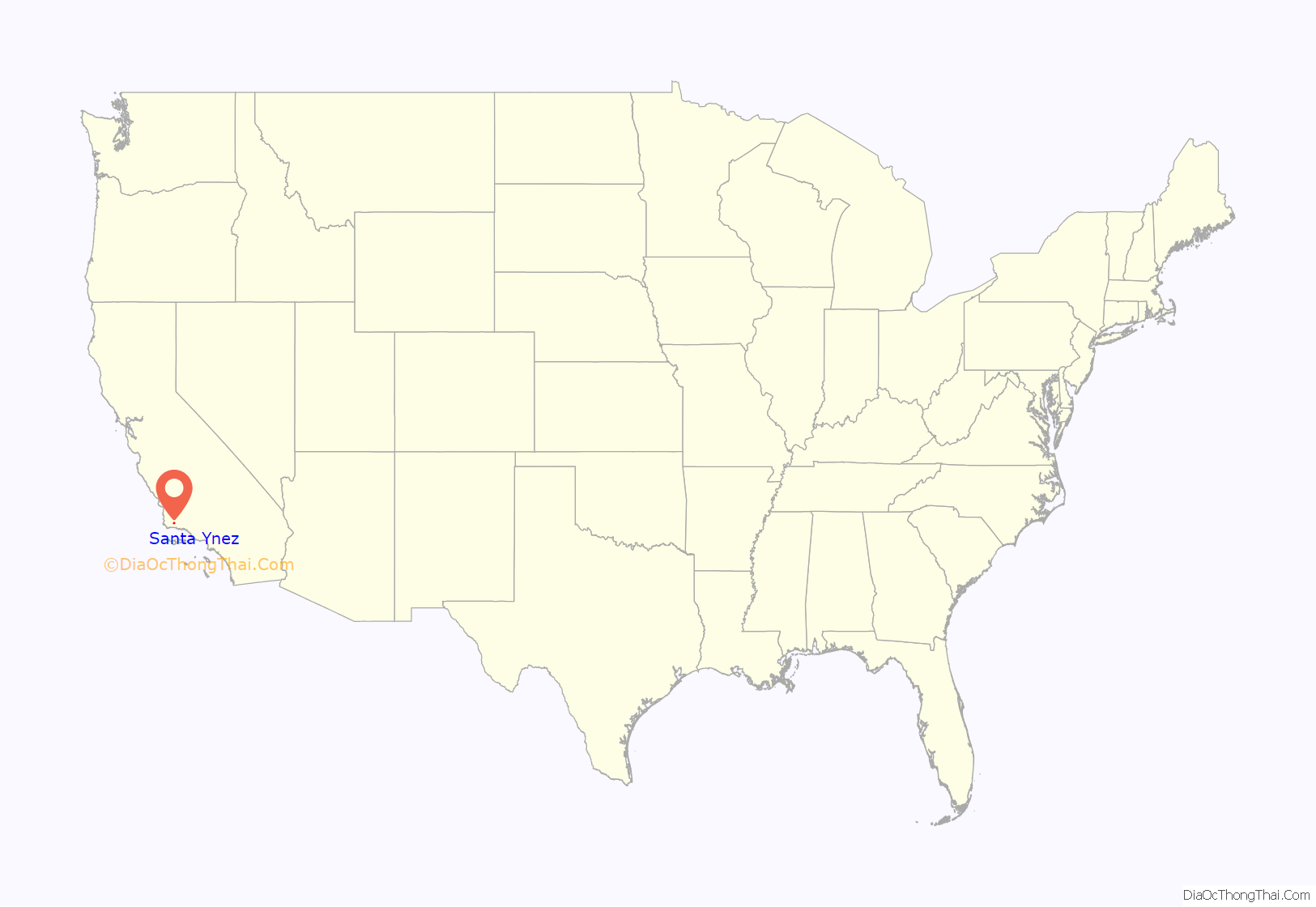
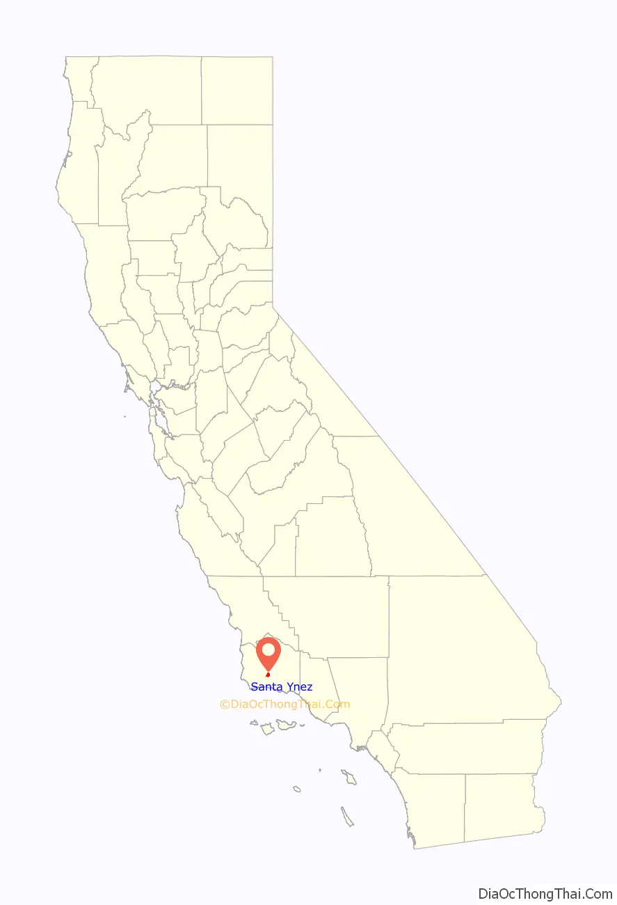
| County: | Santa Barbara County |
| Elevation: | 607 ft (185 m) |
| Total Area: | 5.143 sq mi (13.321 km²) |
| Land Area: | 5.136 sq mi (13.302 km²) |
| Water Area: | 0.007 sq mi (0.019 km²) 0.14% |
| Total Population: | 4,505 |
| Population Density: | 880/sq mi (340/km²) |
| ZIP code: | 93460 |
| Area code: | 805 |
| FIPS code: | 0670182 |
| GNISfeature ID: | 1661407 |
Online Interactive Map
Click on ![]() to view map in "full screen" mode.
to view map in "full screen" mode.
Santa Ynez location map. Where is Santa Ynez CDP?
Santa Ynez Road Map
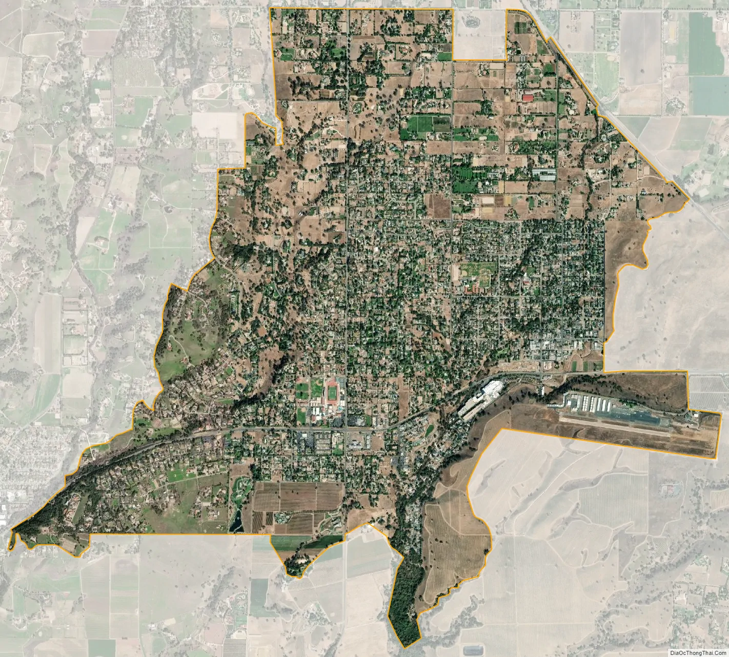
Santa Ynez city Satellite Map
Geography
Santa Ynez is located at 34°36′43″N 120°5′18″W / 34.61194°N 120.08833°W / 34.61194; -120.08833.
According to the United States Census Bureau, the CDP has a total area of 5.1 square miles (13 km), 99.86% of it land, and 0.14% of it covered by water. Santa Ynez is located about 40 miles (64 km) north of Santa Barbara, California, and is known for its world-class wineries.
See also
Map of California State and its subdivision:- Alameda
- Alpine
- Amador
- Butte
- Calaveras
- Colusa
- Contra Costa
- Del Norte
- El Dorado
- Fresno
- Glenn
- Humboldt
- Imperial
- Inyo
- Kern
- Kings
- Lake
- Lassen
- Los Angeles
- Madera
- Marin
- Mariposa
- Mendocino
- Merced
- Modoc
- Mono
- Monterey
- Napa
- Nevada
- Orange
- Placer
- Plumas
- Riverside
- Sacramento
- San Benito
- San Bernardino
- San Diego
- San Francisco
- San Joaquin
- San Luis Obispo
- San Mateo
- Santa Barbara
- Santa Clara
- Santa Cruz
- Shasta
- Sierra
- Siskiyou
- Solano
- Sonoma
- Stanislaus
- Sutter
- Tehama
- Trinity
- Tulare
- Tuolumne
- Ventura
- Yolo
- Yuba
- Alabama
- Alaska
- Arizona
- Arkansas
- California
- Colorado
- Connecticut
- Delaware
- District of Columbia
- Florida
- Georgia
- Hawaii
- Idaho
- Illinois
- Indiana
- Iowa
- Kansas
- Kentucky
- Louisiana
- Maine
- Maryland
- Massachusetts
- Michigan
- Minnesota
- Mississippi
- Missouri
- Montana
- Nebraska
- Nevada
- New Hampshire
- New Jersey
- New Mexico
- New York
- North Carolina
- North Dakota
- Ohio
- Oklahoma
- Oregon
- Pennsylvania
- Rhode Island
- South Carolina
- South Dakota
- Tennessee
- Texas
- Utah
- Vermont
- Virginia
- Washington
- West Virginia
- Wisconsin
- Wyoming


