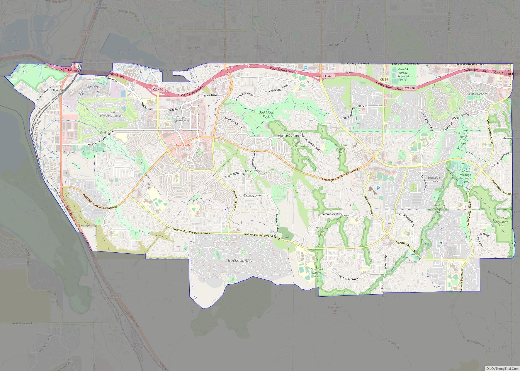
Highlands Ranch is an unincorporated community and a census-designated place (CDP) located in and governed by Douglas County, Colorado, United States. The CDP is a part of the Denver–Aurora–Lakewood, CO Metropolitan Statistical Area. The population of the Highlands Ranch CDP was 105,631 at the United States Census 2020, making it the most populous unincorporated community in the State of Colorado. The Highlands Ranch Metropolitan District provides services to the community, which lies in ZIP Codes 80126, 80129, 80130, and 80163 (for post office boxes).
| Name: | Highlands Ranch CDP |
|---|---|
| LSAD Code: | 57 |
| LSAD Description: | CDP (suffix) |
| State: | Colorado |
| County: | Douglas County |
| Elevation: | 5,817 ft (1,773 m) |
| Total Area: | 24.294 sq mi (62.920 km²) |
| Land Area: | 24.268 sq mi (62.855 km²) |
| Water Area: | 0.025 sq mi (0.065 km²) |
| Total Population: | 105,631 |
| Population Density: | 3,985/sq mi (1,539/km²) |
| ZIP code: | 80126, 80129, 80130 and 80163 |
| FIPS code: | 0836410 |
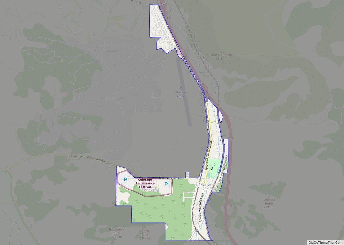
Online Interactive Map
Click on ![]() to view map in "full screen" mode.
to view map in "full screen" mode.
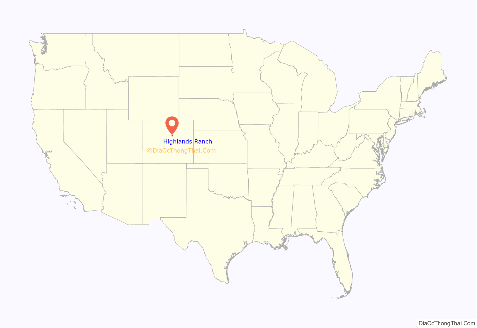
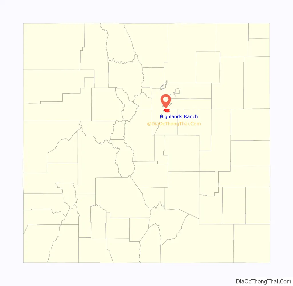
Highlands Ranch location map. Where is Highlands Ranch CDP?
History
Beginnings
Like many parts of the Colorado Front Range, the first residents of the area were Native Americans. The area was populated by a number of nomadic tribes, including the Ute, Cheyenne and Arapaho tribes. Because it was part of the Mississippi River Drainage Area, it was claimed by France by French explorer René-Robert Cavelier, Sieur de La Salle and it was named as part of “Louisiana” in 1682. The Spanish gained Louisiana in 1763, and returned it to France in 1801. This area of what is now Northern Douglas County, was in the Louisiana Purchase when it was sold to the United States in 1803.
The Stephen H. Long’s Expedition of 1820 entered the area at the beginning of July 1820. That was the first documented exploration of the area by European or United States explorers.
Much of the Denver Metro Area began to be settled as ranch land starting in 1859, but because of a lack of water in the area, it was not permanently settled until around 1870. The first legal settler of the area was Curtis H. Field, who purchased land just on the west side of Santa Fe Drive from the US government on February 25, 1870.
The Highlands Ranch Mansion (or “Castle Isabel”) was built over a period of several years, from 1891 to 1904. The first owner of the house was Samuel Allan Long, who purchased a 40-acre homestead in northern Douglas County in 1884 and later expanded it to a 2,000-acre farm. By 1891 he had built a modest farmhouse on the property and called it Rotherwood after a boyhood farm. The name “Rotherwood”, a reference to a boyhood farm of Long’s, was found etched above the original front door that led experts to believe so. Long was a prominent innovator of dry land farming techniques in Colorado during the late 19th century.
John W. Springer bought the ranch in 1898 and built the Highlands Ranch Mansion. He built it up to a 10,000 acre ranch and farm. It was called “Castle Isabel” for a time for his second wife Isabel Patterson Springer. He began selling off parts of the ranch in 1911. The mansion underwent a renovation from 2010-2012 that was funded by Shea Homes.
20th century
The Colorado Gold Rush brought people to Colorado in droves during the late 19th and early 20th centuries. The city of Denver, located approximately 12 miles to the north, grew considerably during this time. However, the area remained a series of farms and ranches, and many residents would visit the town of Littleton, a few miles northward, when they needed to purchase clothing, supplies, or other items.
The Springer land was bought and sold several times throughout the 1920s and 1930s. In 1937 it was bought by Lawrence C. Phipps, Jr., who used it to raise cattle and hunt fox. After Phipps died in 1976, the land was bought by Marvin Davis, the owner of an oil company.
Becoming a suburb
In 1978, a large parcel of land in unincorporated Douglas County was purchased by The Mission Viejo Company. As the suburbs of Denver expanded, the company desired to build a new planned suburb, called Highlands Ranch, in northern Douglas County, akin to its first planned development of Mission Viejo, California. Initial plans were drawn up, many of which are still being realized. These plans laid out several major streets and called for several schools and recreation centers, as well as a town center and public library. Large parcels of land were sold to private housing developers, such as Richmond Homes. As these developments appeared, they often carried their own names, creating a series of segmented neighborhoods throughout Highlands Ranch. Plans for Highlands Ranch also included a snaking “green belt” which provided for undeveloped land for recreation. The plans also allowed for a large number of public parks and bike paths.
The first homes in Highlands Ranch were built in 1981, near South Broadway. Simultaneously, the state built a new freeway through the area, C-470, which opened in 1985. Many of the first residents of Highlands Ranch complained about the initial lack of commercial development. Residents had to drive many miles (usually into Littleton) for groceries, entertainment, or medical care. The first public school, Northridge Elementary, opened in 1982. The same year also saw the completion of the Northridge Recreation Center, an athletic club available to all Highlands Ranch homeowners. The first secondary school, Highlands Ranch Jr/Sr High School, opened in 1987. This institution became solely a high school, named Highlands Ranch High School, in 1991 with the building of nearby Cresthill Middle School. The first Highlands Ranch branch of Douglas County Libraries also opened in 1991, housed in a strip mall off Broadway and Springer Drive.
Recent history
Over the next 25 years, the population of Highlands Ranch increasingly expanded. Highlands Ranch celebrated its 10th anniversary in 1991 with a population of 17,000 residents. Over the next ten years, Highlands Ranch continued to develop on a large scale.
In 1997, The Mission Viejo Company was acquired by Shea Properties, which continued to expand the community. This included bringing a regional office of Lucent Technologies, and later in the same complex Avaya Communication, to the area. The year 2000 saw the opening of a much larger Highlands Ranch Library as well as the establishment of the Highlands Ranch Chamber of Commerce.
On December 31, 2017, a gunman opened fire at the Copper Canyon Apartment Homes, killing a police deputy, and wounded six others, including two civilians. The perpetrator was later killed by the SWAT tactical team in a shootout.
On May 7, 2019, two students opened fire at the STEM School Highlands Ranch, killing a student and injuring eight others. The school is located near Columbine High School, where a mass shooting occurred in April 1999. Both perpetrators were taken into custody in the aftermath of the shooting.
Highlands Ranch Road Map
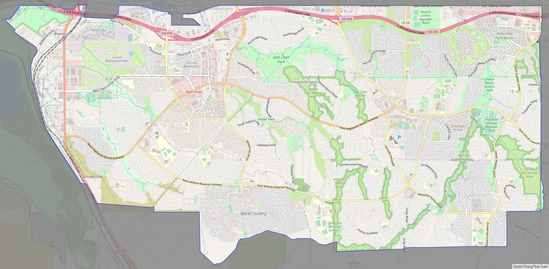
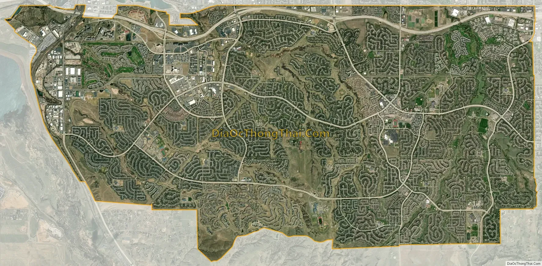
Highlands Ranch city Satellite Map
Geography
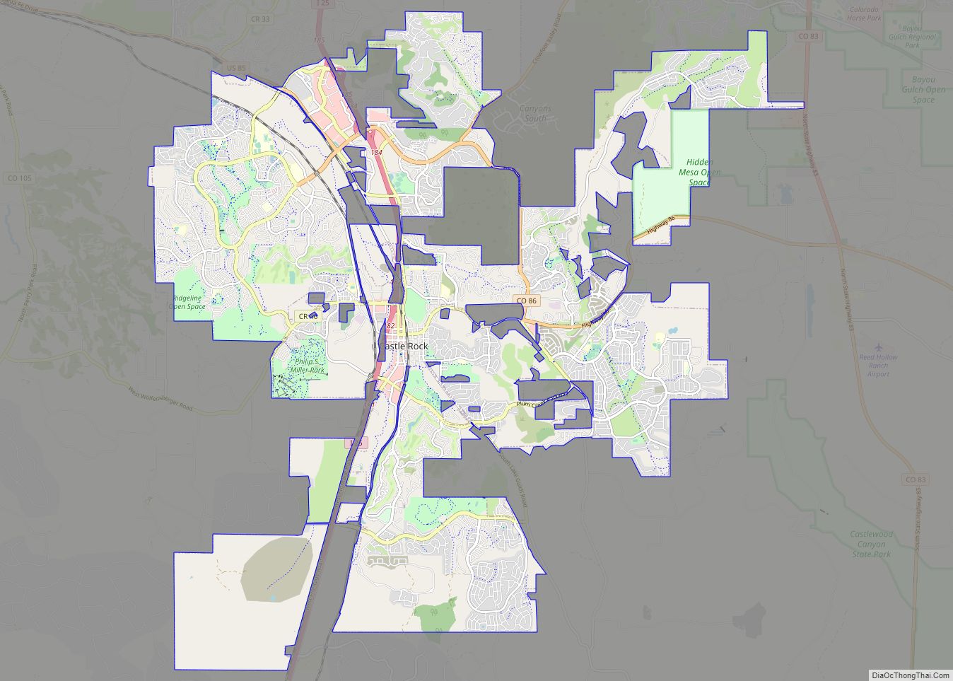
Located on Colorado State Highway 470 in central Colorado, Highlands Ranch is 13 miles (21 km) south of downtown Denver and 13 miles (21 km) north-northwest of Castle Rock, the county seat.
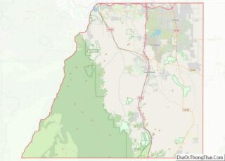
As a suburb of Denver, Highlands Ranch is part of both the greater Denver metropolitan area and the Front Range Urban Corridor. It borders several other Denver suburbs including Littleton and Centennial to the north and Acres Green and Lone Tree to the east. In addition, Highlands Ranch borders Chatfield State Park to the west. As Highlands Ranch is a CDP, its boundaries are defined by the U.S. Census Bureau and have no legal standing.
The Highlands Ranch CDP has an area of 15,548 acres (62.920 km), including 16 acres (0.065 km) of water.
See also
Map of Colorado State and its subdivision:- Adams
- Alamosa
- Arapahoe
- Archuleta
- Baca
- Bent
- Boulder
- Broomfield
- Chaffee
- Cheyenne
- Clear Creek
- Conejos
- Costilla
- Crowley
- Custer
- Delta
- Denver
- Dolores
- Douglas
- Eagle
- El Paso
- Elbert
- Fremont
- Garfield
- Gilpin
- Grand
- Gunnison
- Hinsdale
- Huerfano
- Jackson
- Jefferson
- Kiowa
- Kit Carson
- La Plata
- Lake
- Larimer
- Las Animas
- Lincoln
- Logan
- Mesa
- Mineral
- Moffat
- Montezuma
- Montrose
- Morgan
- Otero
- Ouray
- Park
- Phillips
- Pitkin
- Prowers
- Pueblo
- Rio Blanco
- Rio Grande
- Routt
- Saguache
- San Juan
- San Miguel
- Sedgwick
- Summit
- Teller
- Washington
- Weld
- Yuma
- Alabama
- Alaska
- Arizona
- Arkansas
- California
- Colorado
- Connecticut
- Delaware
- District of Columbia
- Florida
- Georgia
- Hawaii
- Idaho
- Illinois
- Indiana
- Iowa
- Kansas
- Kentucky
- Louisiana
- Maine
- Maryland
- Massachusetts
- Michigan
- Minnesota
- Mississippi
- Missouri
- Montana
- Nebraska
- Nevada
- New Hampshire
- New Jersey
- New Mexico
- New York
- North Carolina
- North Dakota
- Ohio
- Oklahoma
- Oregon
- Pennsylvania
- Rhode Island
- South Carolina
- South Dakota
- Tennessee
- Texas
- Utah
- Vermont
- Virginia
- Washington
- West Virginia
- Wisconsin
- Wyoming