Meridian is an unincorporated community and a census-designated place (CDP) located in and governed by Douglas County, Colorado, United States. The CDP is a part of the Denver–Aurora–Lakewood, CO Metropolitan Statistical Area. The population of the Meridian CDP was 4,786 at the United States Census 2020. The CDP lies in ZIP code 80112.
| Name: | Meridian CDP |
|---|---|
| LSAD Code: | 57 |
| LSAD Description: | CDP (suffix) |
| State: | Colorado |
| County: | Douglas County |
| Elevation: | 5,964 ft (1,818 m) |
| Total Area: | 0.509 sq mi (1.319 km²) |
| Land Area: | 0.509 sq mi (1.319 km²) |
| Water Area: | 0.000 sq mi (0.000 km²) |
| Total Population: | 4,786 |
| Population Density: | 9,400/sq mi (3,600/km²) |
| ZIP code: | 80112 |
| FIPS code: | 0850012 |
Online Interactive Map
Click on ![]() to view map in "full screen" mode.
to view map in "full screen" mode.
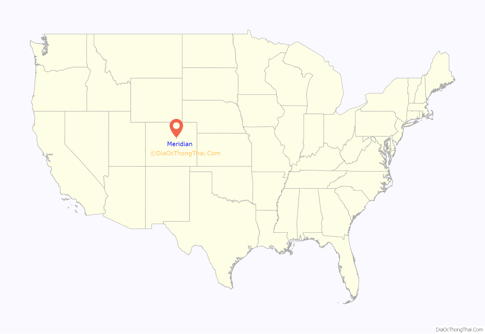
Meridian location map. Where is Meridian CDP?
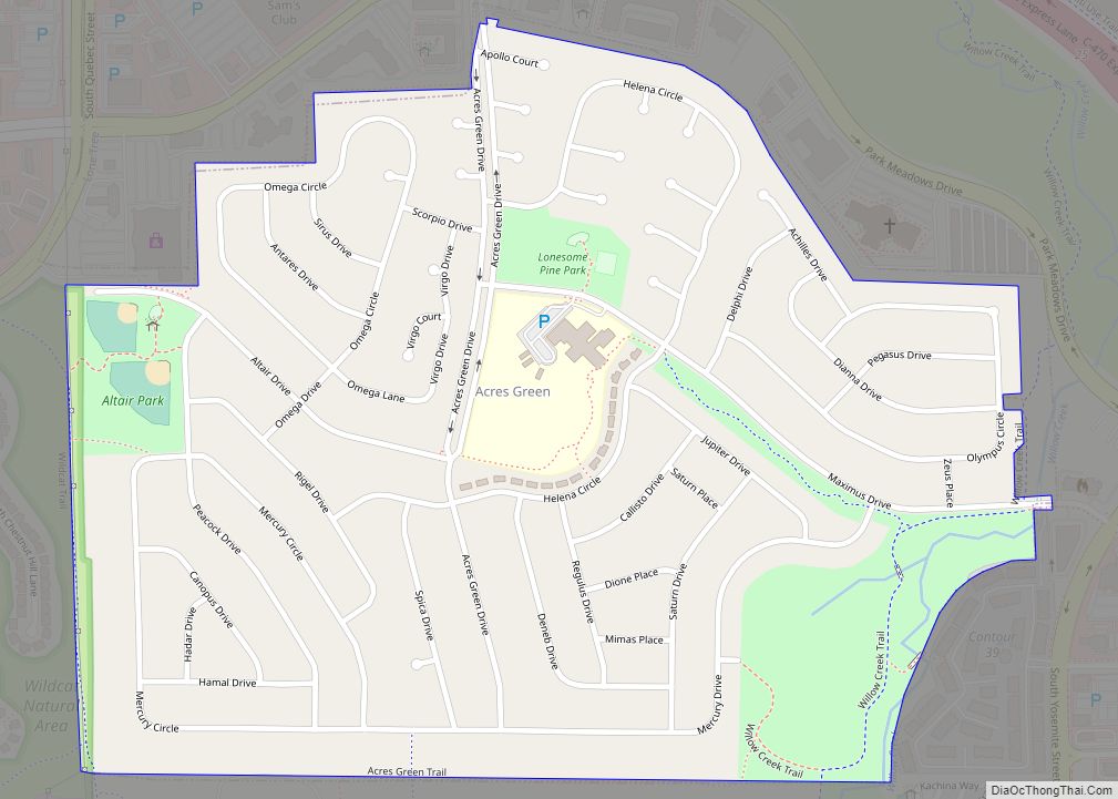
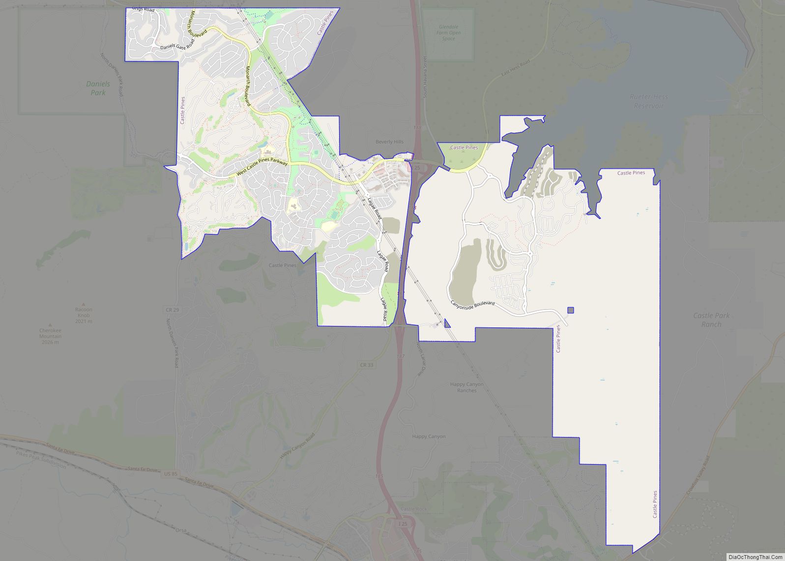
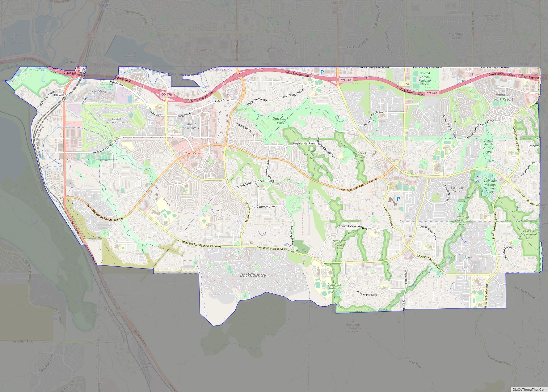
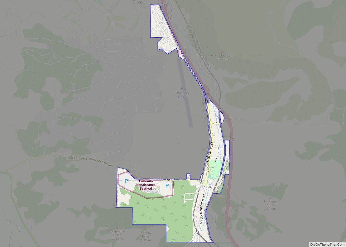
Meridian Road Map
Meridian city Satellite Map
Geography
The Meridian CDP is located in northern Douglas County at 39.53’89”N 104.84’75”W at 5,964 feet above sea level, higher than Denver. Meridian roughly spans from the intersection of I-25 and Inverness Parkway south to the intersection of I-25 and Lincoln Avenue, east along Lincoln Avenue to North 1st Street, north along North 1st Street until E-470 where the boundary then meanders northeast until South Chambers Road, where it finally spans due west back to the intersection of I-25 and Inverness Parkway. The plot of developed land just south of Lincoln Avenue is included in the CDP as well. According to the United States Census Bureau, the CDP has a total area of 2.56 square miles, all of which is land. It is bordered to the north by Centennial, to the west and south by Lone Tree, and to the east by Parker; Denver is 18 miles to the north. The natural geography of Meridian can be characterized by slow, rolling hills covered in thick grass and brush.
See also
Map of Colorado State and its subdivision:- Adams
- Alamosa
- Arapahoe
- Archuleta
- Baca
- Bent
- Boulder
- Broomfield
- Chaffee
- Cheyenne
- Clear Creek
- Conejos
- Costilla
- Crowley
- Custer
- Delta
- Denver
- Dolores
- Douglas
- Eagle
- El Paso
- Elbert
- Fremont
- Garfield
- Gilpin
- Grand
- Gunnison
- Hinsdale
- Huerfano
- Jackson
- Jefferson
- Kiowa
- Kit Carson
- La Plata
- Lake
- Larimer
- Las Animas
- Lincoln
- Logan
- Mesa
- Mineral
- Moffat
- Montezuma
- Montrose
- Morgan
- Otero
- Ouray
- Park
- Phillips
- Pitkin
- Prowers
- Pueblo
- Rio Blanco
- Rio Grande
- Routt
- Saguache
- San Juan
- San Miguel
- Sedgwick
- Summit
- Teller
- Washington
- Weld
- Yuma
- Alabama
- Alaska
- Arizona
- Arkansas
- California
- Colorado
- Connecticut
- Delaware
- District of Columbia
- Florida
- Georgia
- Hawaii
- Idaho
- Illinois
- Indiana
- Iowa
- Kansas
- Kentucky
- Louisiana
- Maine
- Maryland
- Massachusetts
- Michigan
- Minnesota
- Mississippi
- Missouri
- Montana
- Nebraska
- Nevada
- New Hampshire
- New Jersey
- New Mexico
- New York
- North Carolina
- North Dakota
- Ohio
- Oklahoma
- Oregon
- Pennsylvania
- Rhode Island
- South Carolina
- South Dakota
- Tennessee
- Texas
- Utah
- Vermont
- Virginia
- Washington
- West Virginia
- Wisconsin
- Wyoming
