Parker is a home rule municipality in Douglas County, Colorado, United States. As a self-declared “town” under the home rule statutes, Parker is the second most populous town in the county; Castle Rock is the most populous (the community of Highlands Ranch, with a population of over 100,000, is an unincorporated CDP). In recent years, Parker has become a commuter town at the southeasternmost corner of the Denver metropolitan area. As of the 2020 census the town population was 58,512. Parker is now the 19th most populous municipality in the state of Colorado.
| Name: | Parker town |
|---|---|
| LSAD Code: | 43 |
| LSAD Description: | town (suffix) |
| State: | Colorado |
| County: | Douglas County |
| Incorporated: | May 1981 |
| Elevation: | 5,869 ft (1,789 m) |
| Total Area: | 22.37 sq mi (57.85 km²) |
| Land Area: | 22.34 sq mi (57.84 km²) |
| Water Area: | 0.01 sq mi (0.02 km²) |
| Total Population: | 58,512 |
| Population Density: | 402.7/sq mi (1,043/km²) |
| ZIP code: | 80134, 80138 |
| Area code: | Both 303 and 720 |
| FIPS code: | 0857630 |
| GNISfeature ID: | 0185051 |
| Website: | www.parkeronline.org |
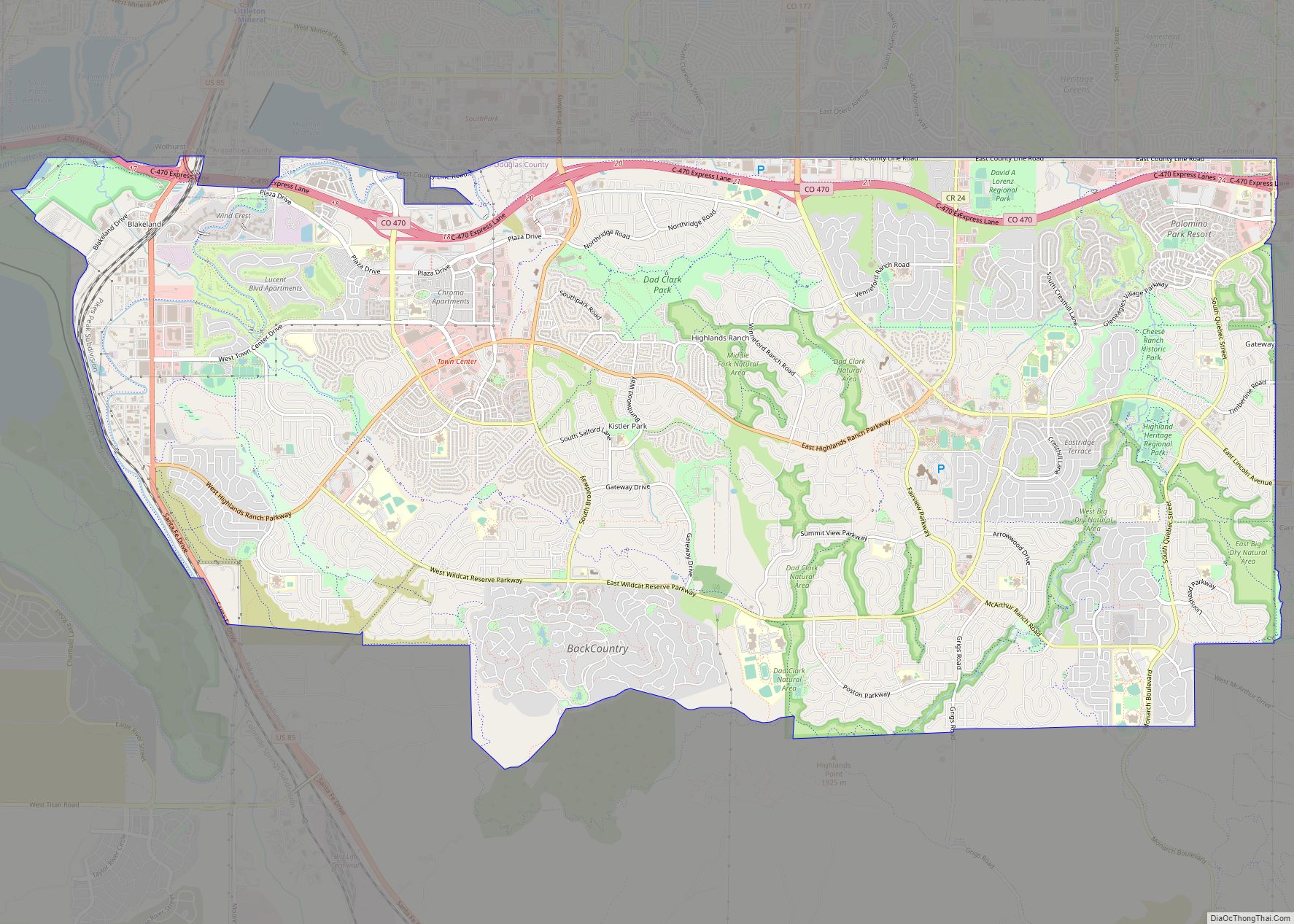
Online Interactive Map
Click on ![]() to view map in "full screen" mode.
to view map in "full screen" mode.
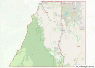
Parker location map. Where is Parker town?


History
Native Americans
The first known people to live in the area were ancient and Plains Woodland peoples. Utes, Arapaho, and Cheyenne were in the area by the 1800s. They were all hunter-gatherers who established seasonal camps to acquire food. Nearby rock shelter, Franktown Cave, shows evidence of habitation beginning in the early Archaic period about 6,400 BC and continuing through each of the remaining cultural periods to 1725 AD.
Pine Grove
Stage roads were established on historic Cherokee and Trapper’s Trails through present-day Denver. In 1864, Alfred Butters established the Pine Grove Way Station in a small one-room building (south of the current Parker United Methodist Church) to sell provisions, handle mail and messages, and provide respite for travelers. The area was then within the Territory of Colorado (1861–1876). Butters became a state senator and representative. His house is on the National Register of Historic Places listings in downtown Denver. George Long and his wife purchased the building, moved it to its present location on Main Street, and expanded it to include ten rooms, a ball room and outbuildings. Built at the junction of stage routes, it was called Twenty Mile House for its distance to Denver. The stage station offered provisions, meals, and lodging, as well as protection for early settlers against attacks by Native Americans.
Initially, there were peaceful interactions with Native Americans. Chiefs Washington and Colorow led their tribes along Sulphur Gulch, passing and sometimes visiting cabins of early settlers, like John and Elizabeth Tallman. During one visit, Chief Washington offered up to 20 ponies in trade for their red-headed son. They occasionally heard the sounds of celebration and mourning from nearby encampments. Tension between settlers and Native Americans began to build in the 1860s due to broken treaties, aggression, and cultural misunderstanding. People became especially fearful following the Hungate massacre of 1864 in present-day Elbert County, which may have been started by Nathan Hungate shooting a Native American who stole his horse. It may have been a precipitating factor in the Sand Creek massacre led by General John Chivington later that year. John Tallman was one of the first to arrive at the scene of the Hungate Massacre and he served under Chivington during the Sand Creek massacre. The citizens of Parker became quite concerned and closed the school for a brief time after the massacres. In 1870, Jonathan Tallman (John’s brother) was killed by Native Americans while out riding his mule.
In 1869, Twenty Mile House was owned by Nelson and Susan Doud. In 1870, the Douds purchased the Seventeen Mile House in what is now Centennial and sold the Twenty Mile House to James S. Parker, an American Civil War veteran from Illinois who came to Colorado in 1865. He added a blacksmith shop and mercantile store. In December 1870, or 1873, a post office was established for the Pine Grove settlement; James Parker was the postmaster. He built a schoolhouse and provided lodging and the first year’s salary for the teacher. George Parker, James’ brother, homesteaded and built a saloon on land east of Parker Road. George owned most of the land that ultimately became the town of Parker. He encouraged settlers and business development by “parceling out his spread” to newcomers.
Parker
The name of the settlement was changed to Parker in 1882. It was first called Parkers’ for the two brothers and largest landowners, but the apostrophe was later dropped. That year, the Denver and New Orleans Railroad completed the initial railroad route that provided service between Denver, Parker, and Colorado Springs. To ensure that the railroad came through the center of town, rather than along Cherry Creek, James Parker sold his right-of-way for $1 and his brother George sold his right-of-way to bring the railroad into the center of town to Parker station.
James donated three acres for Parker Cemetery around 1884, at which time it held the graves of his two sons. It holds the graves of early settlers, the earliest known death was in 1870. Parker (died 1910) and his wife Mattie (died 1887) are also buried there. In the mid-1880s, gold was found at Newlin Gulch (site of the current Rueter–Hess Reservoir.) More businesses were added, including a dry goods store, two more general mercantile stores, another blacksmith shop, a livery stable, barber shop, creamery, stockyard, hotel, church, and a brickworks. Many of these were added by 1900. Victorian architectural style houses were built along Pikes Peak Drive in the 1910s. The Parker station of the Colorado and Southern Railway, which was renamed as it expanded its route, closed in 1931.
At least through the 1930s, there were dances the first Saturday of each month at Pikes Peak Grange, located north of Franktown. The dances were attended by teenagers from Parker and Elizabeth.
The Parker City Land Company began development of a “modern western town” in the 1960s, but they did not complete the housing projects due to financial short-falls. The developer skipped town in 1971. About 1980 or 1981, the development was completed by another builder. Dean Salibury advocated for Parker’s incorporation to protect its landowners. The town was incorporated in 1981, and Salisbury was Parker’s first mayor. Parker grew exponentially in the mid-1990s and mid-2000s, during the growth of Denver’s southern suburbs. In 1981 there were 285 people in Parker and by 2014 48,000 people resided in the town.
Historic places
The Twenty Mile post office, originally the Pine Grove post office building, was restored by the Parker Area Historical Society. It is located on Mainstreet, just west of Parker Road. Ruth Memorial Methodist Episcopal Church is listed on the National Register of Historic Places. The town of Parker was given a grant by the History Colorado State Historical Fund a restoration project for the Parker Consolidated School at the Mainstreet Center. The Hood House, one of two houses that did not sustain any damage during the flood of Tallman Gulch in 1912, is located in Preservation Park. Some of the other historic sites include Tallman–Newlin Cabin and Parker Cemetery.
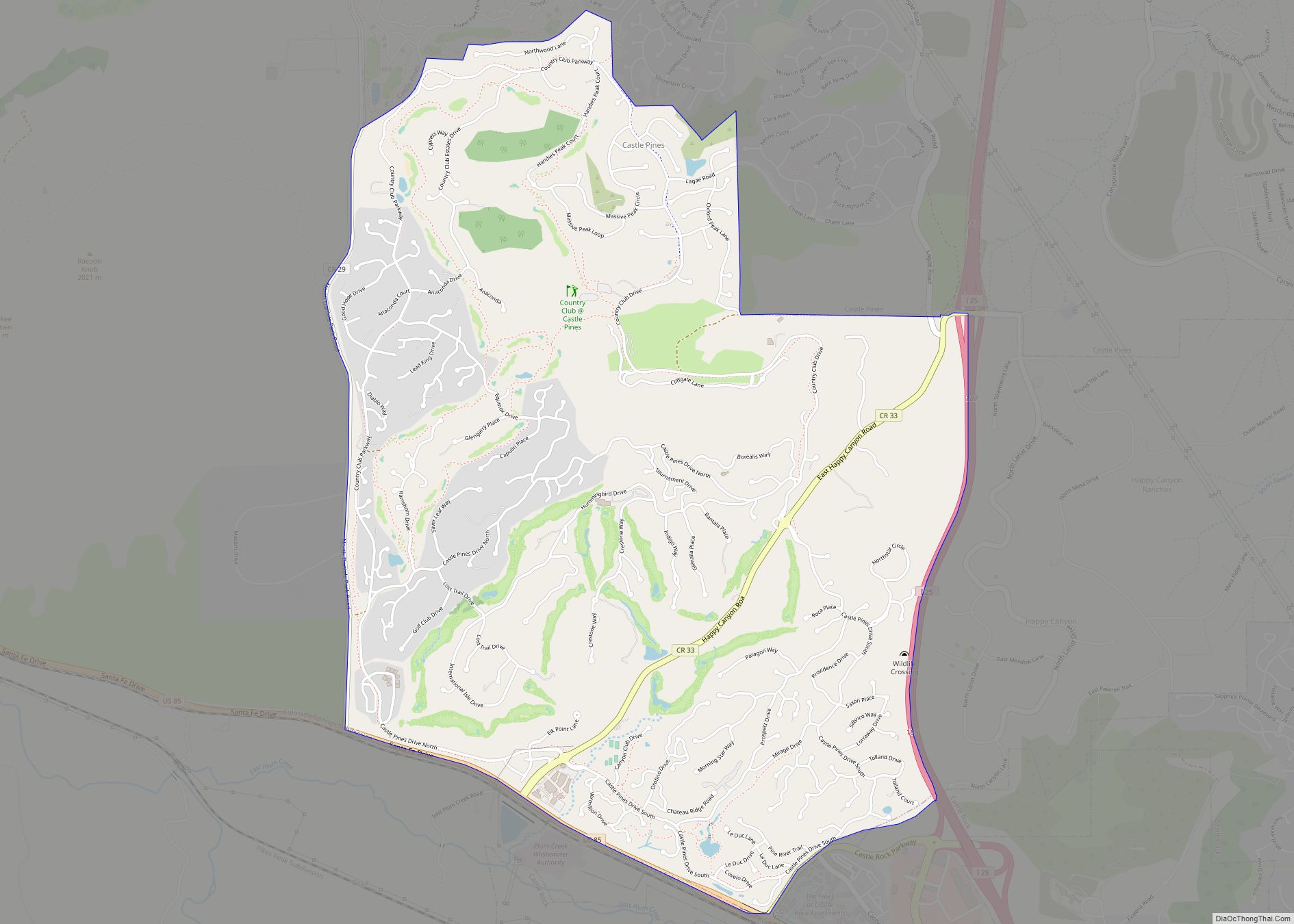
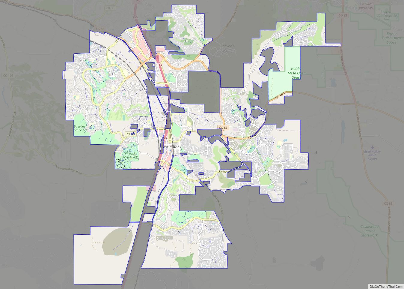
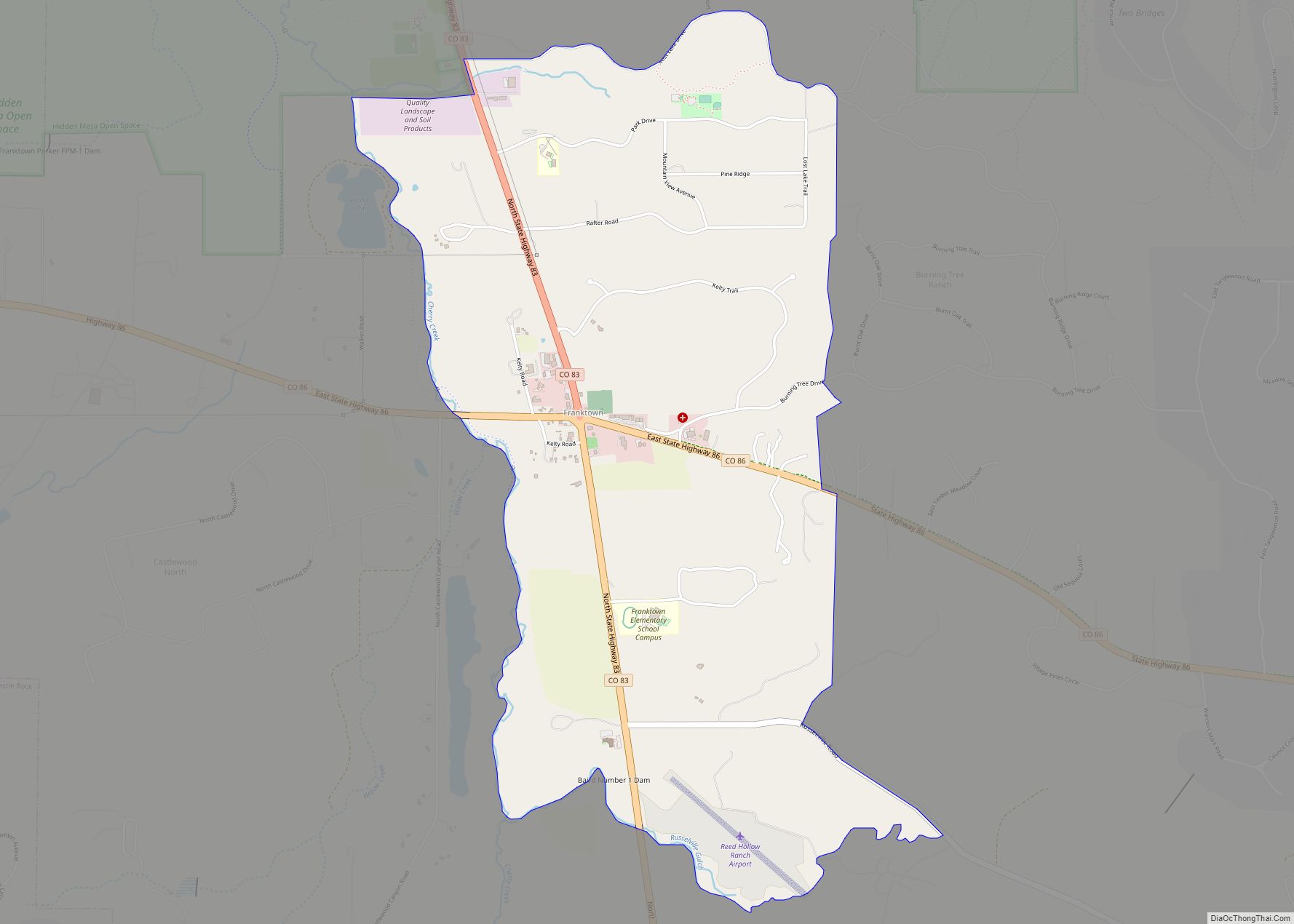
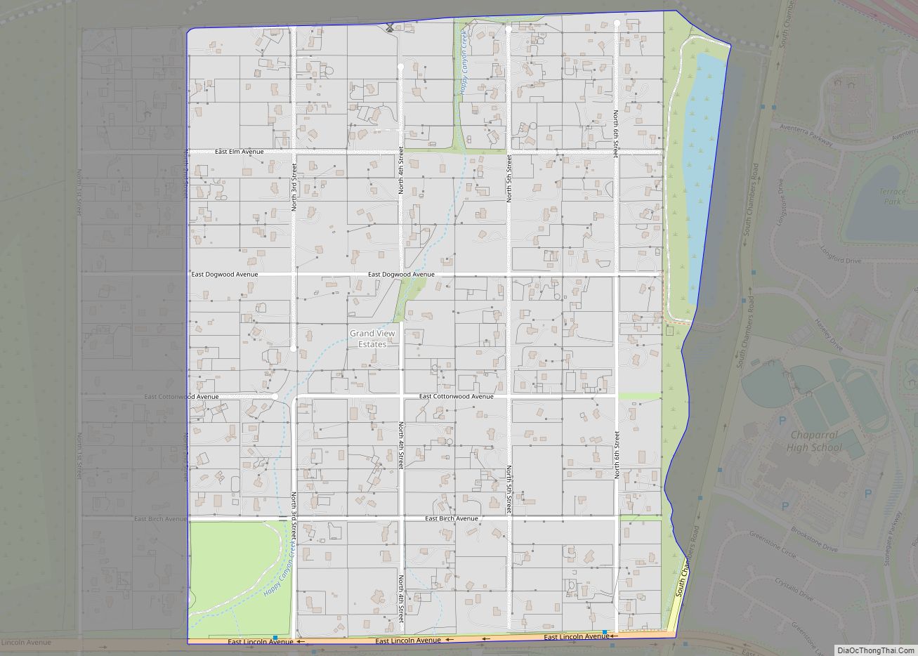
Parker Road Map

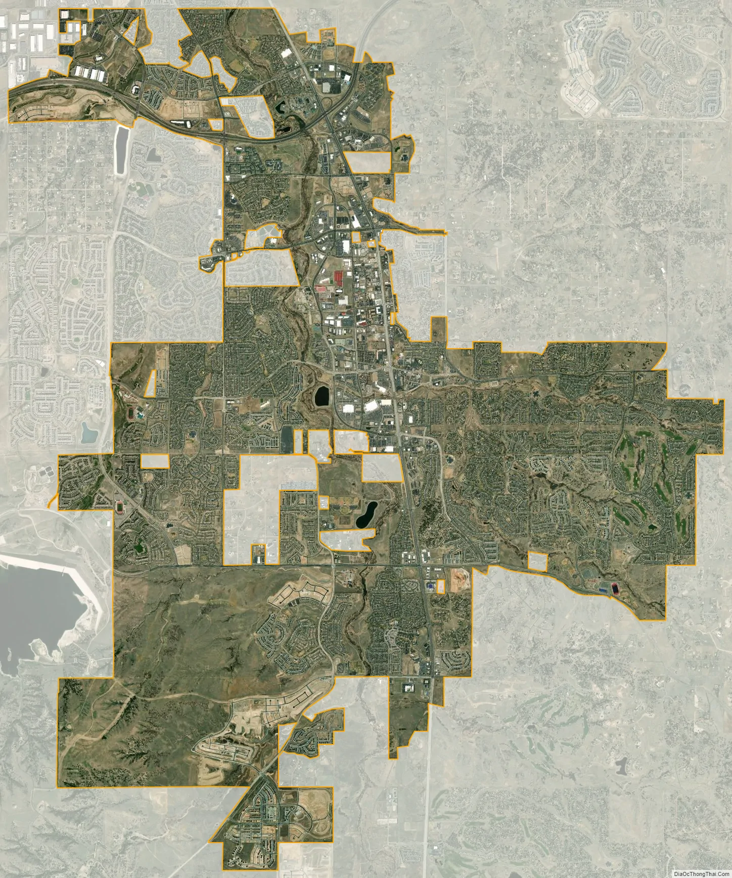
Parker city Satellite Map
Geography
Parker is located in northeastern Douglas County. Its northernmost border follows the Arapahoe County line, and the city of Aurora touches the town’s northeast border. The center of Parker is 23 miles (37 km) southeast of downtown Denver. Castle Rock, the Douglas County seat, is 15 miles (24 km) to the southwest. Unincorporated communities that border Parker are Dove Valley to the northwest, Stonegate to the west, and The Pinery to the south.
According to the United States Census Bureau, the town has a total area of 20.5 square miles (53.1 km), of which 0.02 square miles (0.04 km), or 0.08%, is water. Cherry Creek flows through Parker on its way north toward Denver.
According to the United States Postal Service, Parker is home to the shortest rural mail route in the United States, at just 2.3 miles to cover 837 mailboxes.
Climate
This climate type is usually found in the outskirts of true deserts in low-latitude, semi-arid regions. It has cooler, wetter weather resulting from the higher latitude and mid-latitude frontal cyclone activity. Annual precipitation totals are greater than in tropical and subtropical desert climates. Yearly variations in amount are not as extreme as in the true deserts but are nevertheless large. The Köppen Climate Classification subtype for this climate is “BSk”. (mid latitude Steppe Climate).
See also
Map of Colorado State and its subdivision:- Adams
- Alamosa
- Arapahoe
- Archuleta
- Baca
- Bent
- Boulder
- Broomfield
- Chaffee
- Cheyenne
- Clear Creek
- Conejos
- Costilla
- Crowley
- Custer
- Delta
- Denver
- Dolores
- Douglas
- Eagle
- El Paso
- Elbert
- Fremont
- Garfield
- Gilpin
- Grand
- Gunnison
- Hinsdale
- Huerfano
- Jackson
- Jefferson
- Kiowa
- Kit Carson
- La Plata
- Lake
- Larimer
- Las Animas
- Lincoln
- Logan
- Mesa
- Mineral
- Moffat
- Montezuma
- Montrose
- Morgan
- Otero
- Ouray
- Park
- Phillips
- Pitkin
- Prowers
- Pueblo
- Rio Blanco
- Rio Grande
- Routt
- Saguache
- San Juan
- San Miguel
- Sedgwick
- Summit
- Teller
- Washington
- Weld
- Yuma
- Alabama
- Alaska
- Arizona
- Arkansas
- California
- Colorado
- Connecticut
- Delaware
- District of Columbia
- Florida
- Georgia
- Hawaii
- Idaho
- Illinois
- Indiana
- Iowa
- Kansas
- Kentucky
- Louisiana
- Maine
- Maryland
- Massachusetts
- Michigan
- Minnesota
- Mississippi
- Missouri
- Montana
- Nebraska
- Nevada
- New Hampshire
- New Jersey
- New Mexico
- New York
- North Carolina
- North Dakota
- Ohio
- Oklahoma
- Oregon
- Pennsylvania
- Rhode Island
- South Carolina
- South Dakota
- Tennessee
- Texas
- Utah
- Vermont
- Virginia
- Washington
- West Virginia
- Wisconsin
- Wyoming

Нам рассказывают и показывают документы,по которым указано ,что все граждане РФ, ,СССР имеют регистрацию ПАРКЕР,62. Это написано ф социальном фонде. .Интересно правда? И как можно это выяснить.Об этом говорят давно.