The Town of New Castle is a home rule municipality in Garfield County, Colorado, United States. The population was 4,923 at the 2020 census.
| Name: | New Castle town |
|---|---|
| LSAD Code: | 43 |
| LSAD Description: | town (suffix) |
| State: | Colorado |
| County: | Garfield County |
| Elevation: | 5,597 ft (1,706 m) |
| Total Area: | 2.61 sq mi (6.75 km²) |
| Land Area: | 2.52 sq mi (6.52 km²) |
| Water Area: | 0.09 sq mi (0.23 km²) |
| Total Population: | 4,923 |
| Population Density: | 1,900/sq mi (730/km²) |
| ZIP code: | 81647 |
| Area code: | 970 |
| FIPS code: | 0853395 |
| GNISfeature ID: | 0204658 |
| Website: | www.newcastlecolorado.org |
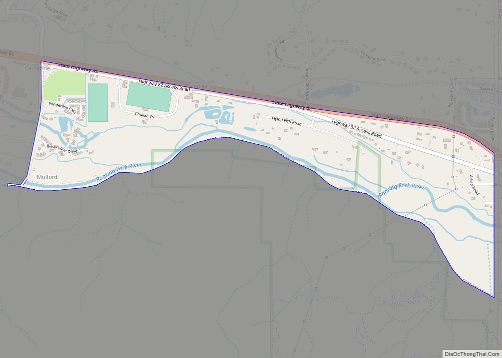
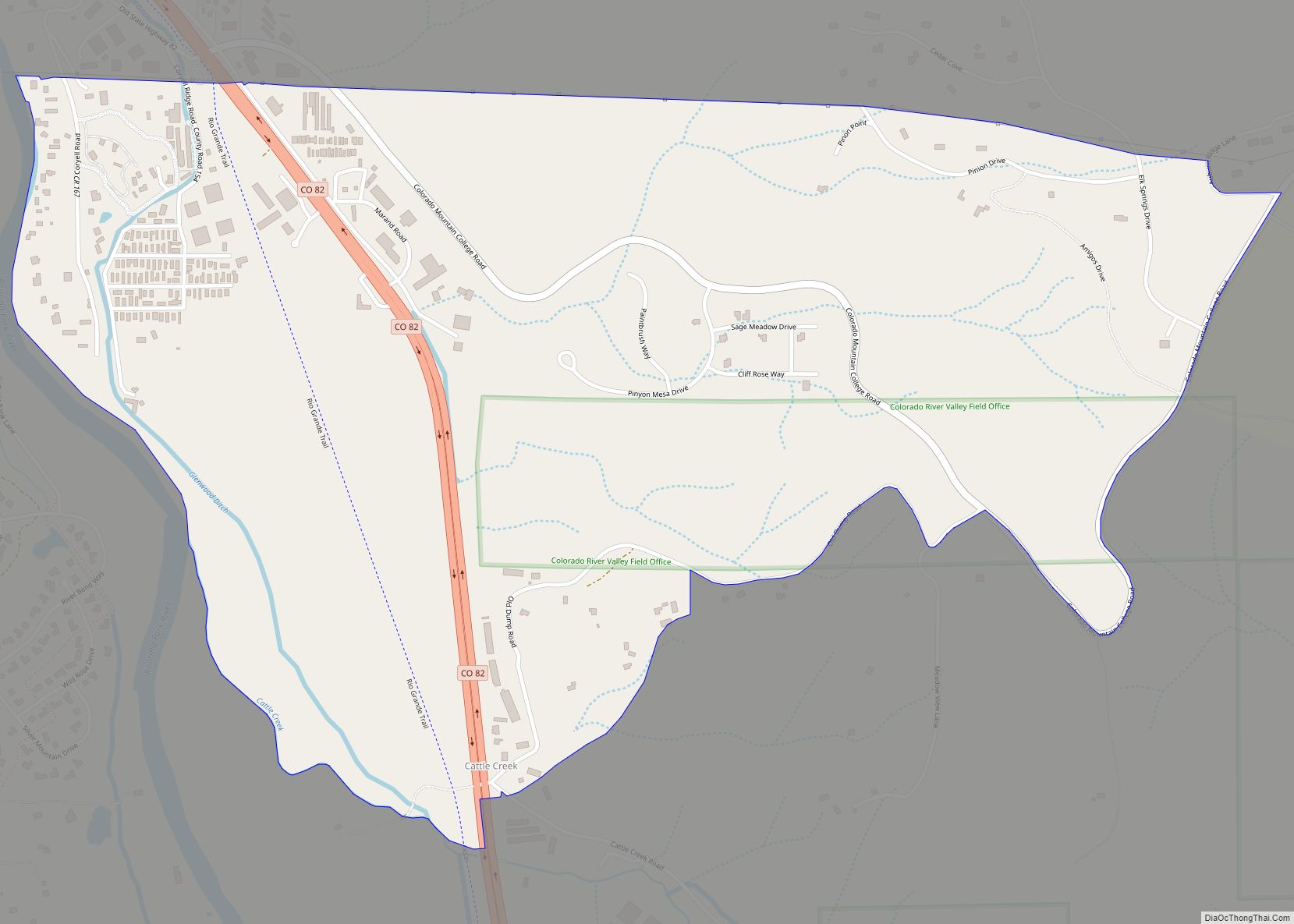
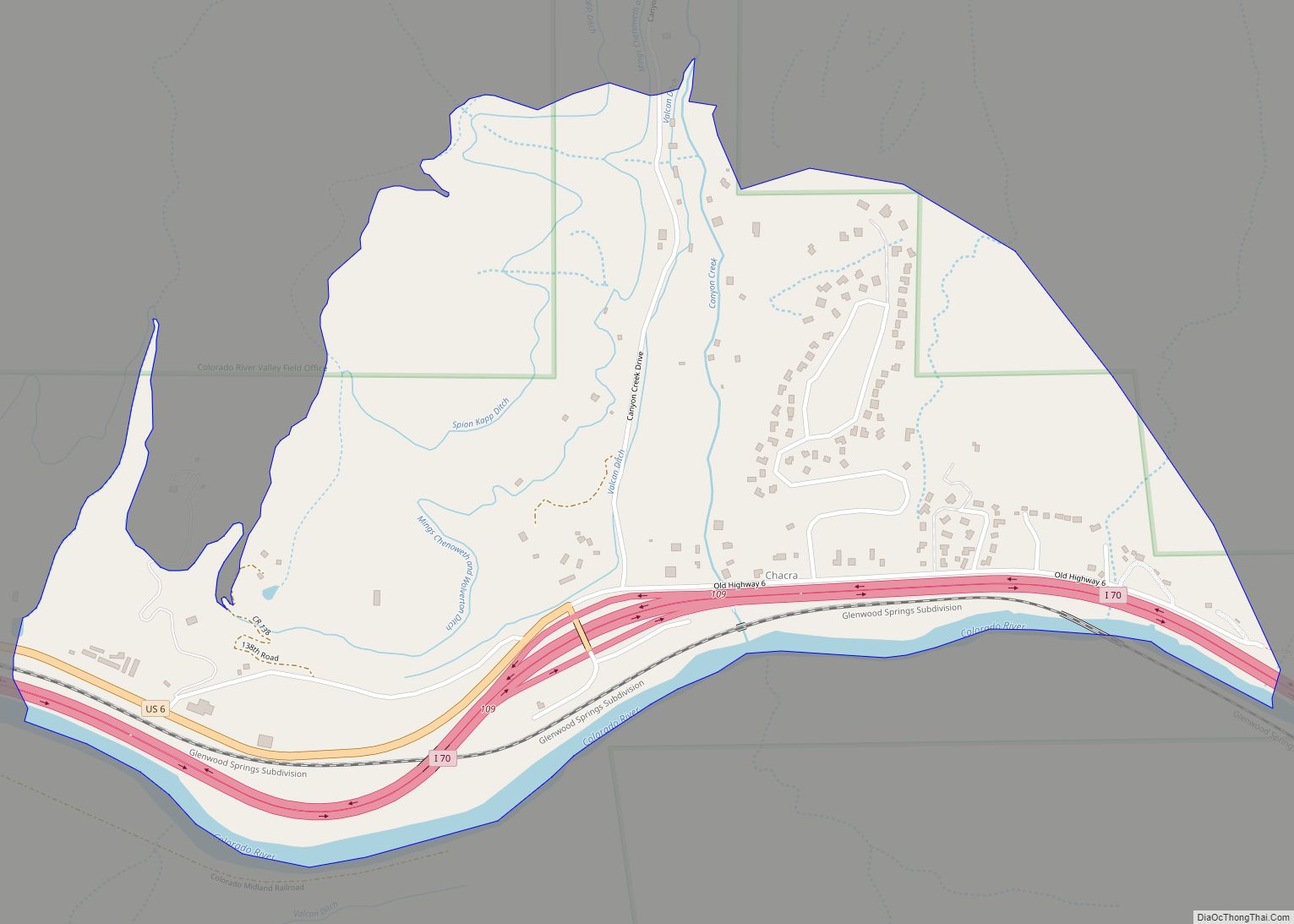
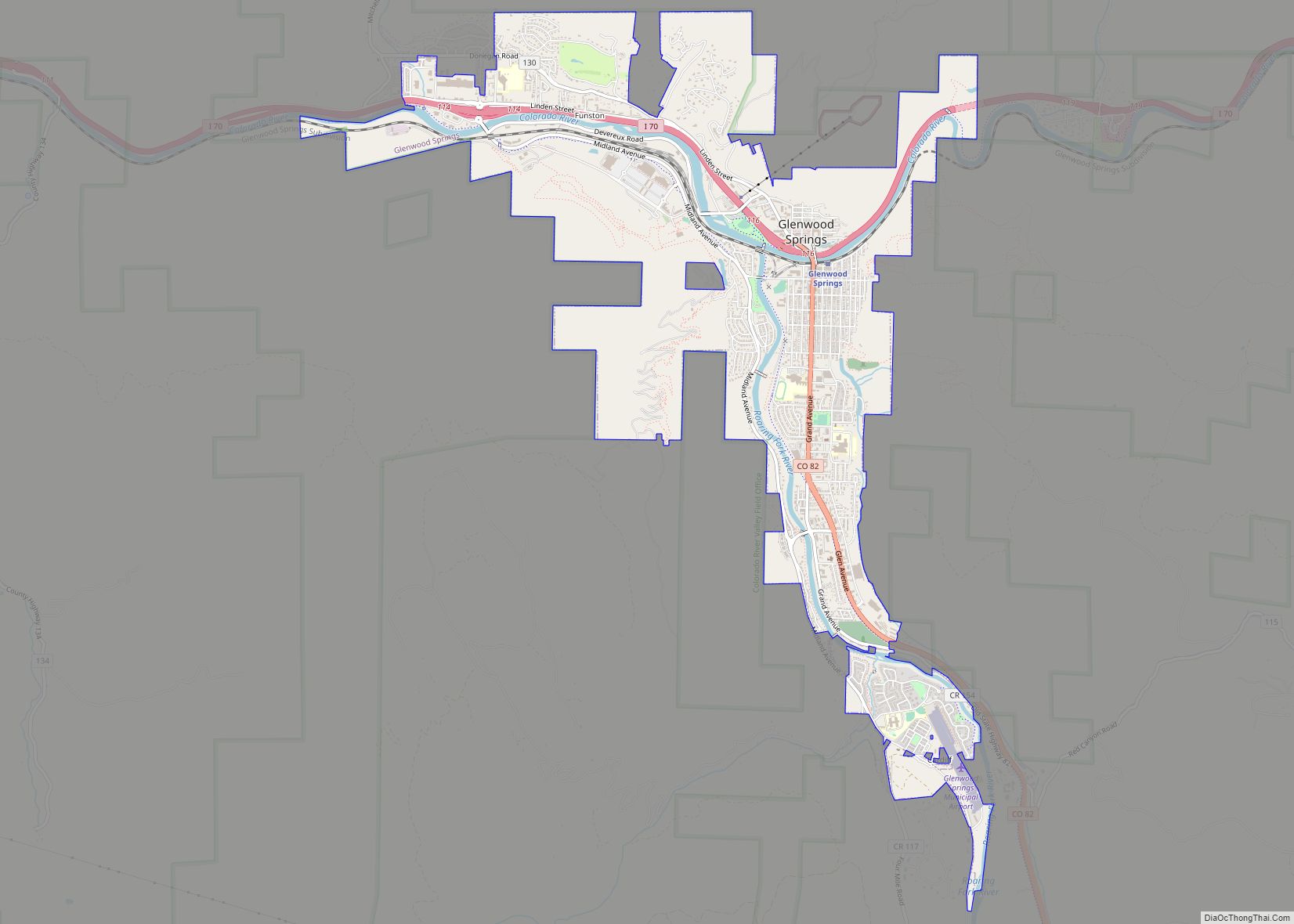
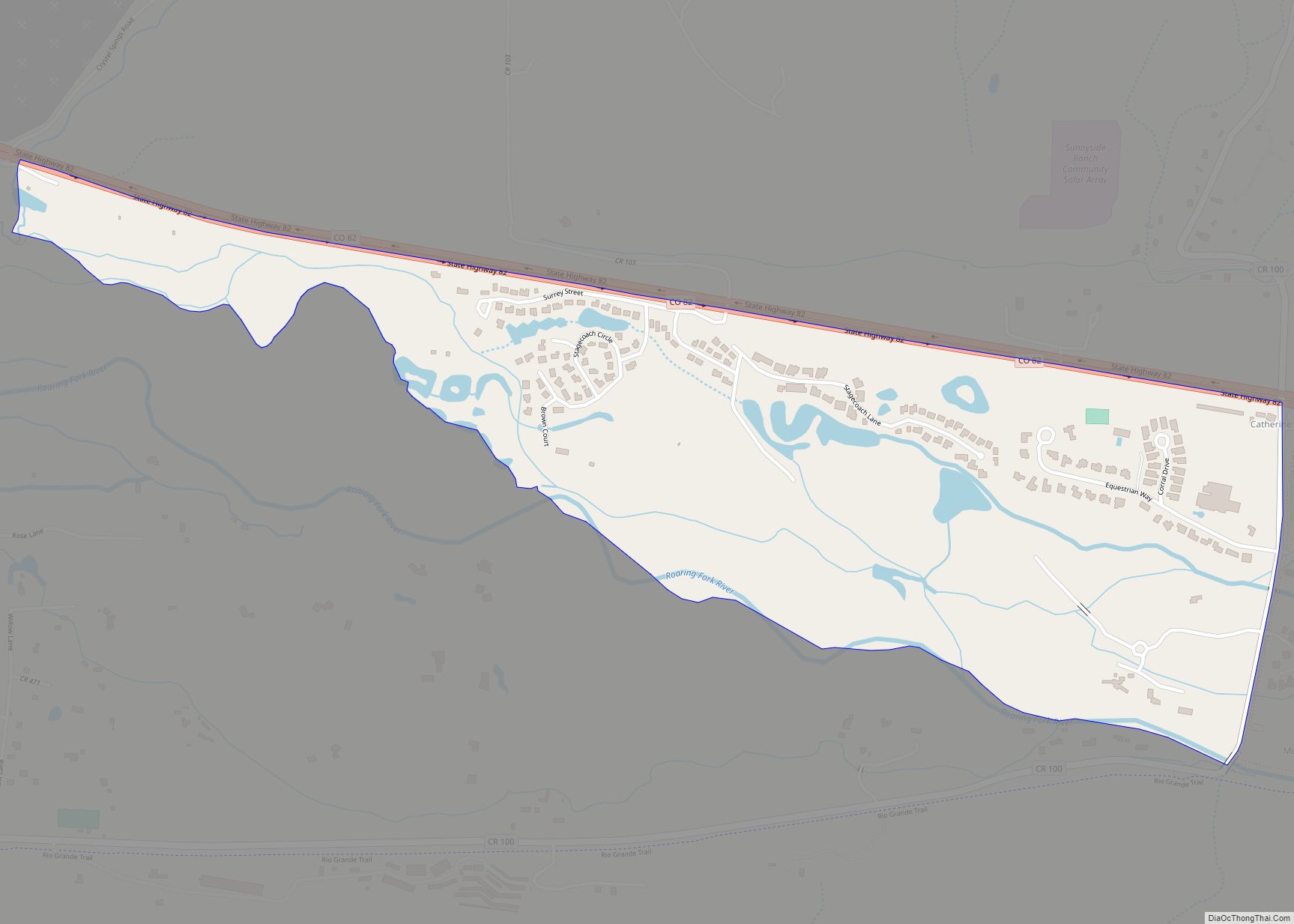
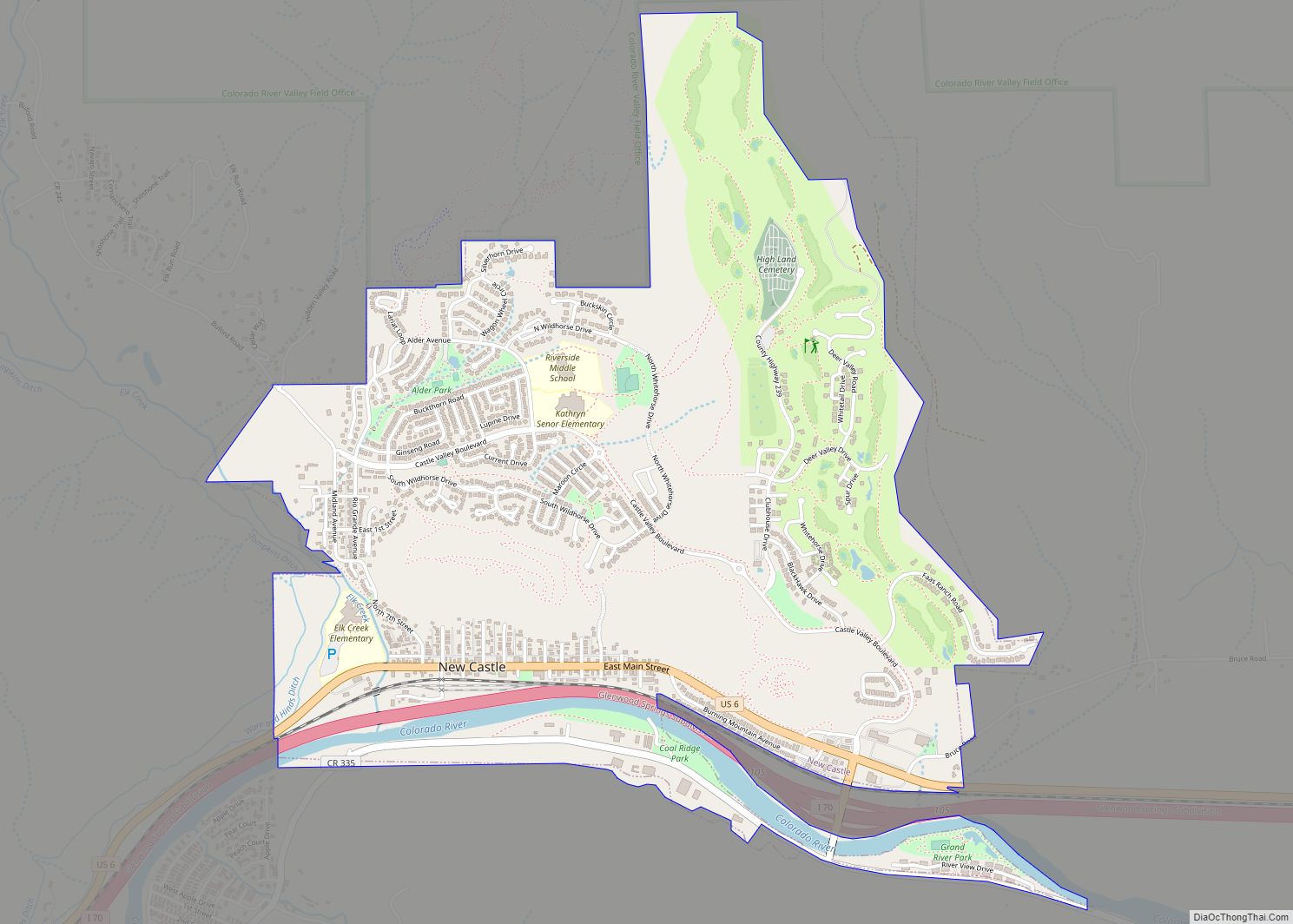
Online Interactive Map
Click on ![]() to view map in "full screen" mode.
to view map in "full screen" mode.
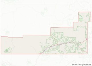
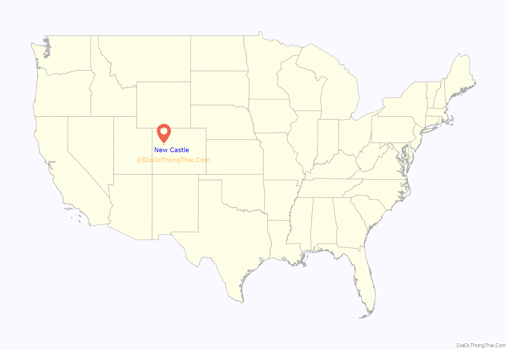
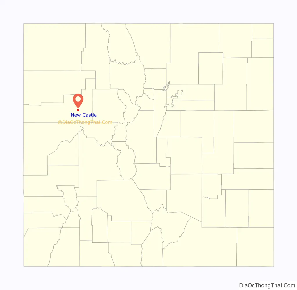
New Castle location map. Where is New Castle town?
History
When New Castle was incorporated in 1888, its economy was largely based on mining coal that was needed by the silver-mining industry to fire silver smelters. On February 18, 1896, a methane explosion in the Vulcan Mine killed 49 men and started a coal fire that was still burning as of 2020. The Vulcan reopened and suffered additional explosions on December 12, 1913 (killing 37) and November 4, 1918 (killing 3).
There are at least 25 coal fires burning near the town. They are normally confined underground, but in 2002 the Coal Seam Fire destroyed thirty houses in New Castle.
From 2000 – 2014 the population grew 129%, much higher than the average growth in Colorado over the same period (20.8%).
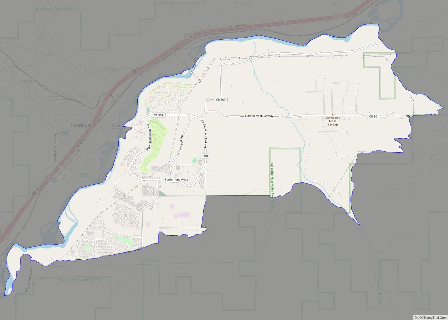
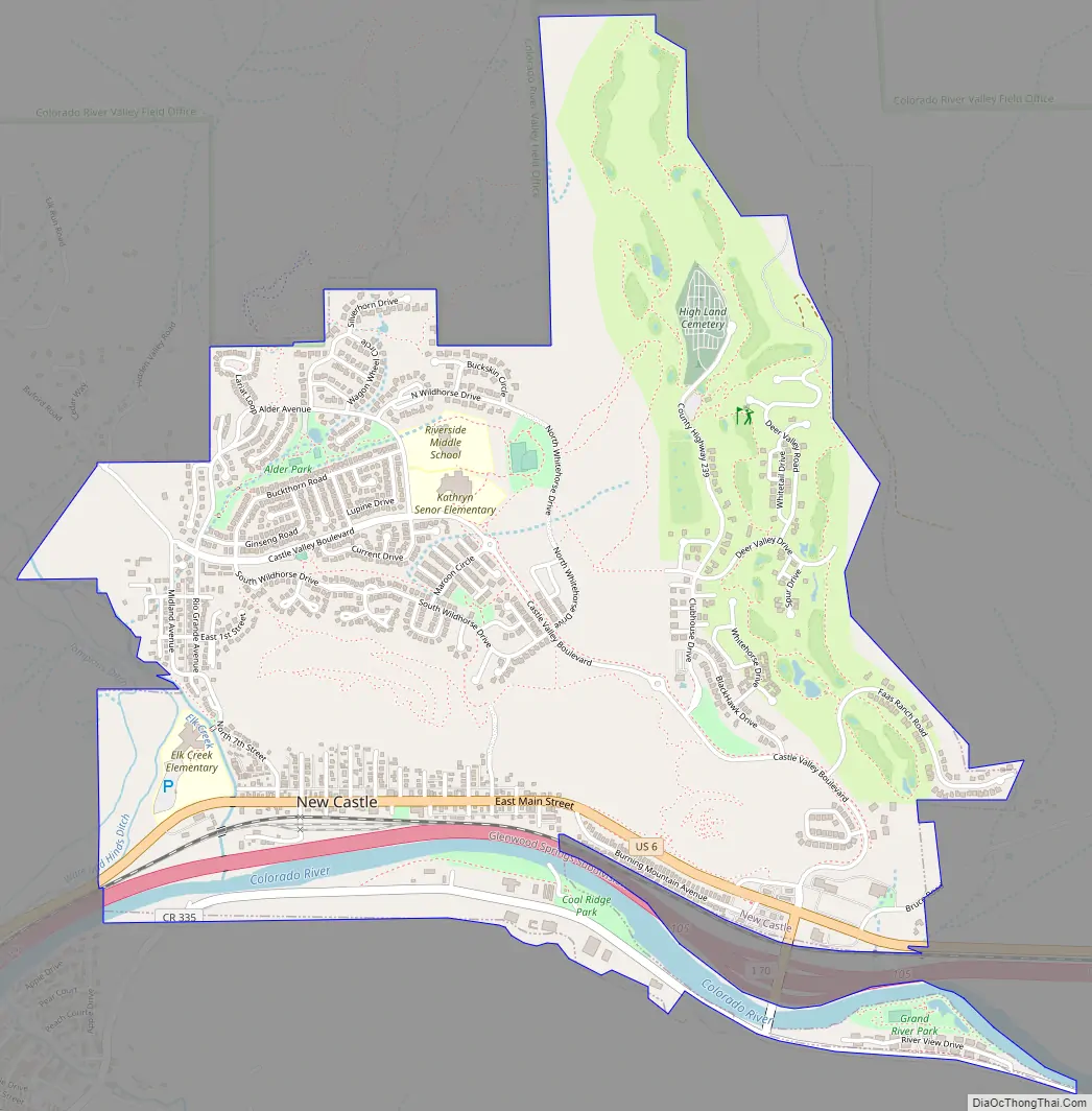
New Castle Road Map
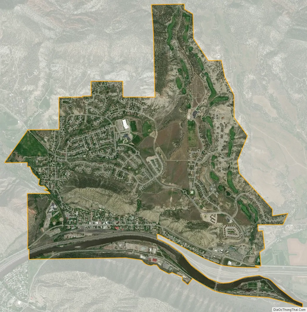
New Castle city Satellite Map
Geography
New Castle is located at 39°34′20″N 107°32′6″W / 39.57222°N 107.53500°W / 39.57222; -107.53500 (39.572304, -107.534941), on the north side of the Colorado River, just east of where the river cuts through the Grand Hogback. Interstate 70 passes through the town following the river, with access from Exit 105. I-70 leads east 12 miles (19 km) to Glenwood Springs, the county seat, east 169 miles (272 km) to Denver, and west 74 miles (119 km) to Grand Junction. U.S. Route 6 is Main Street in New Castle and forms a parallel route to I-70 for local traffic. US-6 joins I-70 5 miles (8 km) to the east at Chacra and 17 miles (27 km) to the west at a point west of Rifle.
According to the United States Census Bureau, the town has a total area of 2.7 square miles (7.0 km), of which 2.7 square miles (6.9 km) is land and 0.04 square miles (0.1 km), or 1.21%, is water.
See also
Map of Colorado State and its subdivision:- Adams
- Alamosa
- Arapahoe
- Archuleta
- Baca
- Bent
- Boulder
- Broomfield
- Chaffee
- Cheyenne
- Clear Creek
- Conejos
- Costilla
- Crowley
- Custer
- Delta
- Denver
- Dolores
- Douglas
- Eagle
- El Paso
- Elbert
- Fremont
- Garfield
- Gilpin
- Grand
- Gunnison
- Hinsdale
- Huerfano
- Jackson
- Jefferson
- Kiowa
- Kit Carson
- La Plata
- Lake
- Larimer
- Las Animas
- Lincoln
- Logan
- Mesa
- Mineral
- Moffat
- Montezuma
- Montrose
- Morgan
- Otero
- Ouray
- Park
- Phillips
- Pitkin
- Prowers
- Pueblo
- Rio Blanco
- Rio Grande
- Routt
- Saguache
- San Juan
- San Miguel
- Sedgwick
- Summit
- Teller
- Washington
- Weld
- Yuma
- Alabama
- Alaska
- Arizona
- Arkansas
- California
- Colorado
- Connecticut
- Delaware
- District of Columbia
- Florida
- Georgia
- Hawaii
- Idaho
- Illinois
- Indiana
- Iowa
- Kansas
- Kentucky
- Louisiana
- Maine
- Maryland
- Massachusetts
- Michigan
- Minnesota
- Mississippi
- Missouri
- Montana
- Nebraska
- Nevada
- New Hampshire
- New Jersey
- New Mexico
- New York
- North Carolina
- North Dakota
- Ohio
- Oklahoma
- Oregon
- Pennsylvania
- Rhode Island
- South Carolina
- South Dakota
- Tennessee
- Texas
- Utah
- Vermont
- Virginia
- Washington
- West Virginia
- Wisconsin
- Wyoming