Allerton is a city in Wayne County, Iowa. The population was 430 at the time of the 2020 census.
| Name: | Allerton city |
|---|---|
| LSAD Code: | 25 |
| LSAD Description: | city (suffix) |
| State: | Iowa |
| County: | Wayne County |
| Elevation: | 1,099 ft (335 m) |
| Total Area: | 1.19 sq mi (3.08 km²) |
| Land Area: | 1.19 sq mi (3.08 km²) |
| Water Area: | 0.00 sq mi (0.00 km²) |
| Total Population: | 430 |
| Population Density: | 362.26/sq mi (139.84/km²) |
| ZIP code: | 50008 |
| Area code: | 641 |
| FIPS code: | 1901270 |
| GNISfeature ID: | 0454140 |
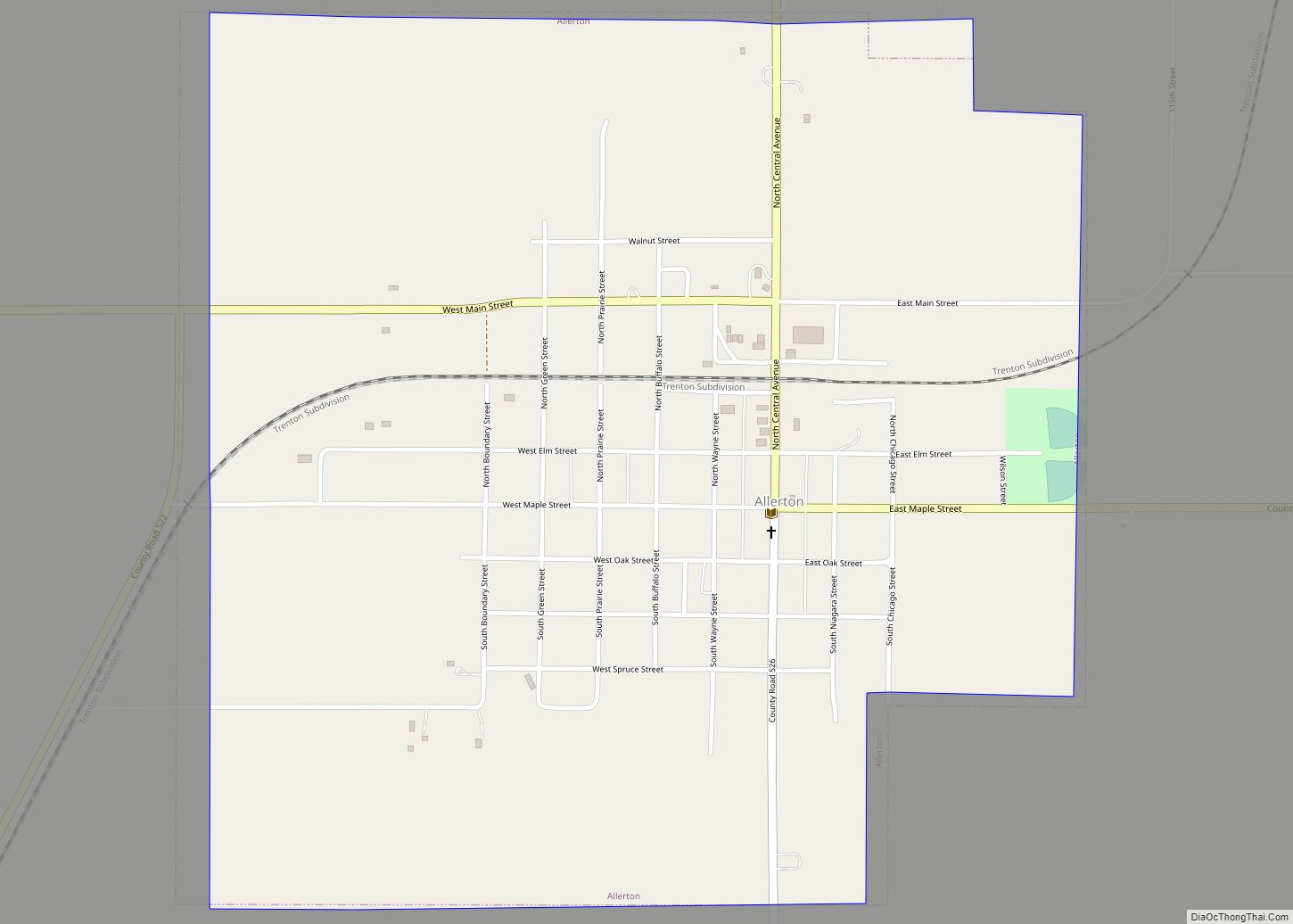
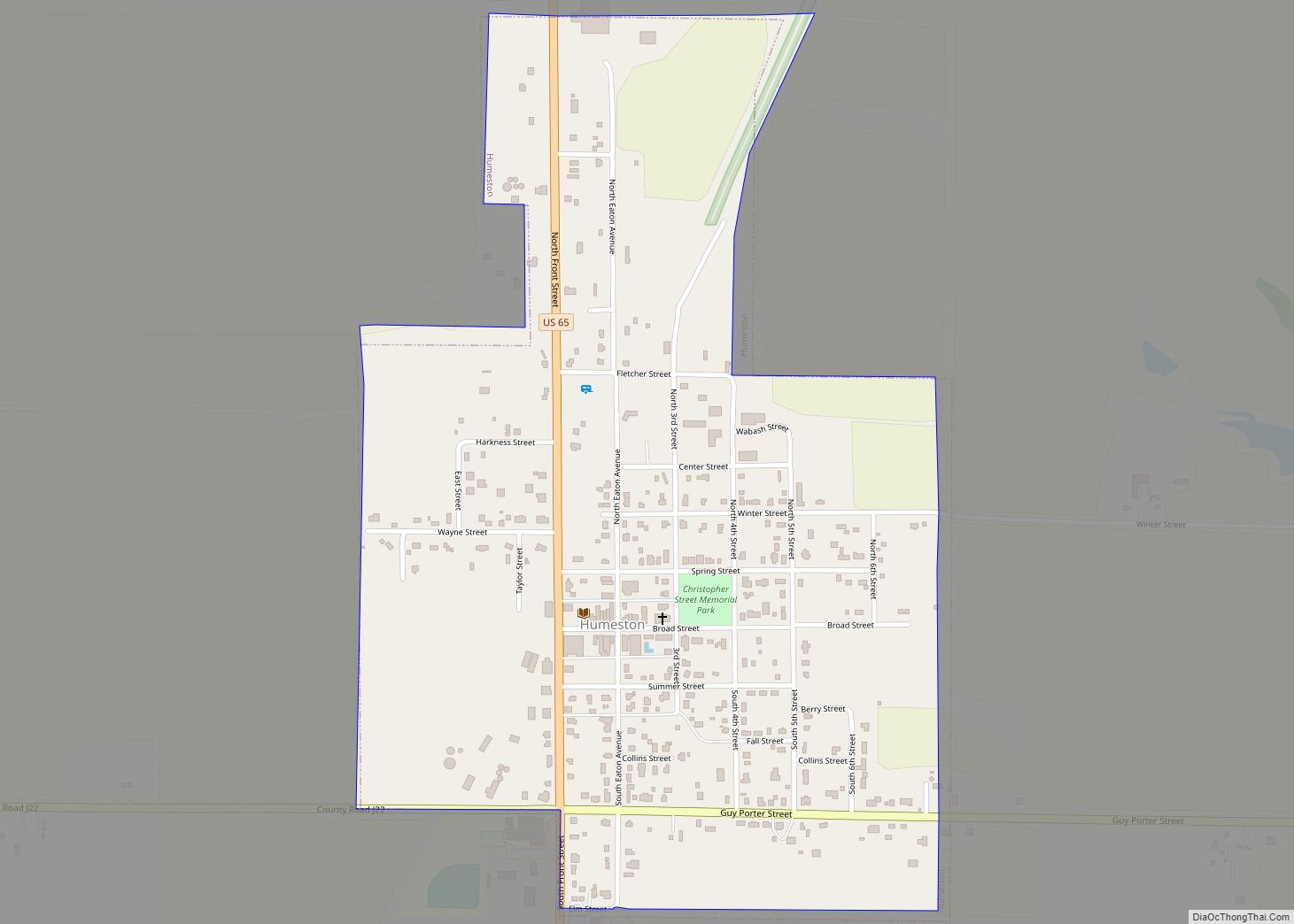
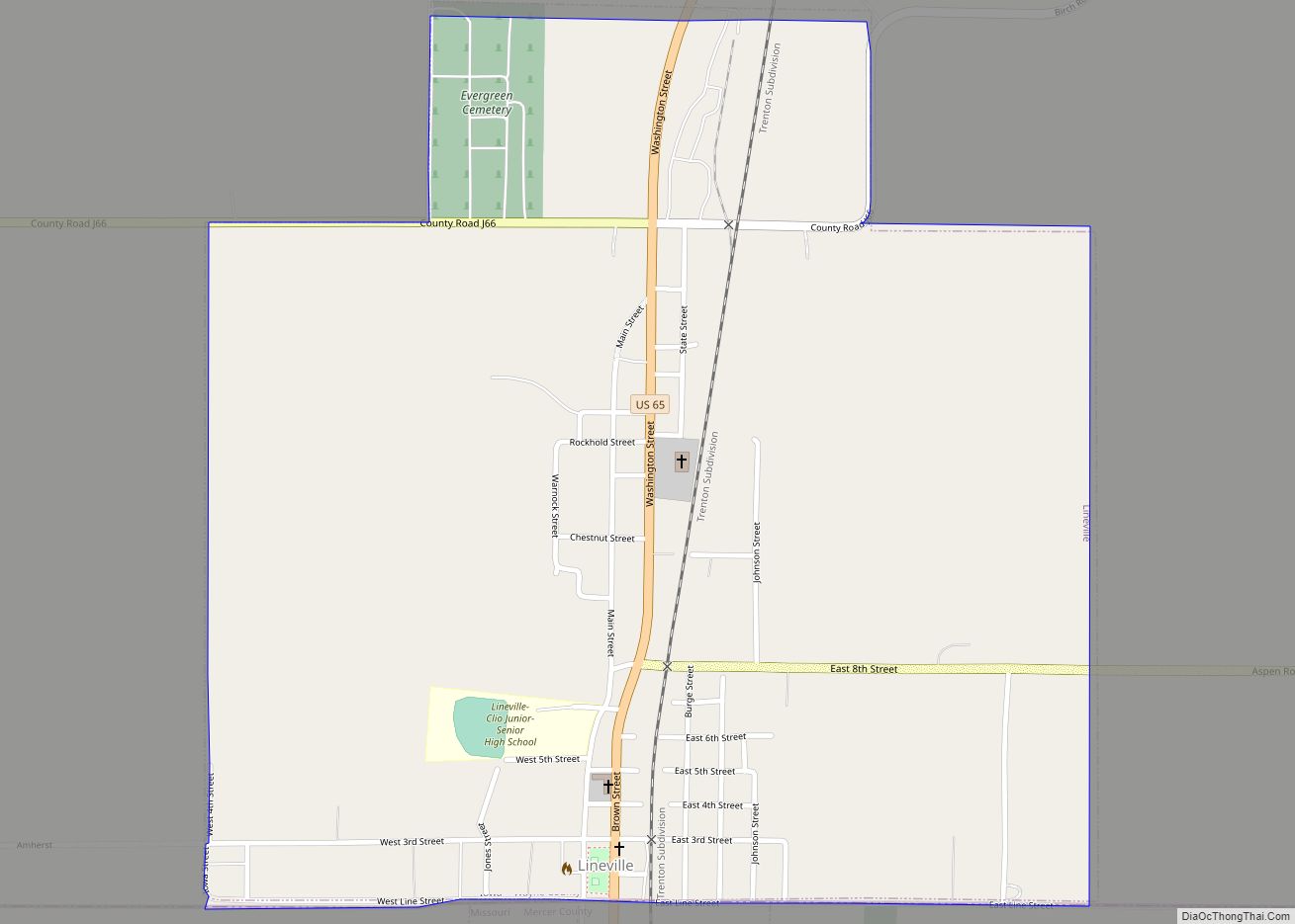
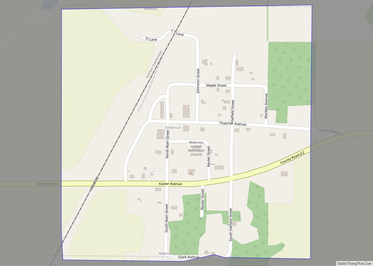
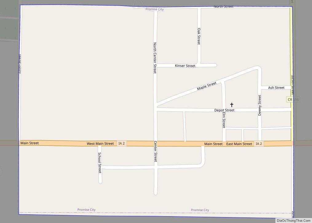
Online Interactive Map
Click on ![]() to view map in "full screen" mode.
to view map in "full screen" mode.
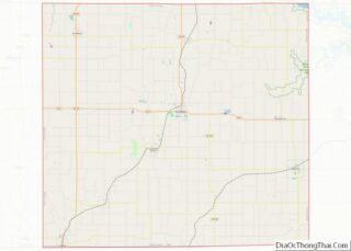
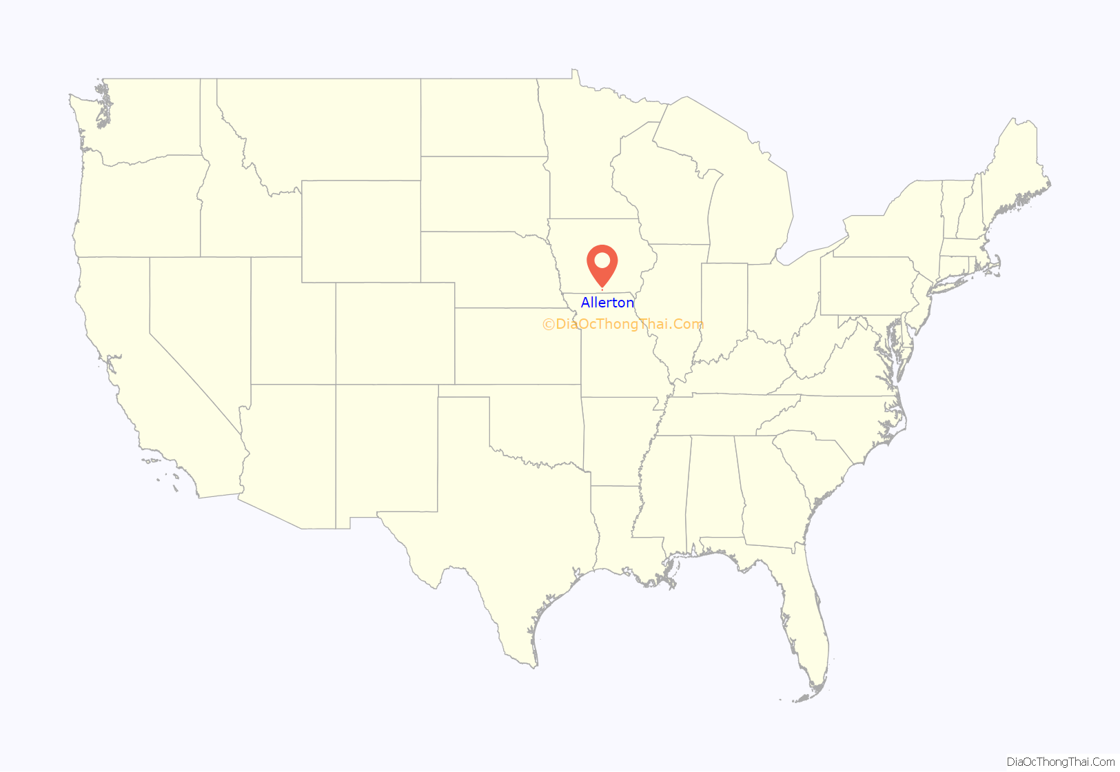
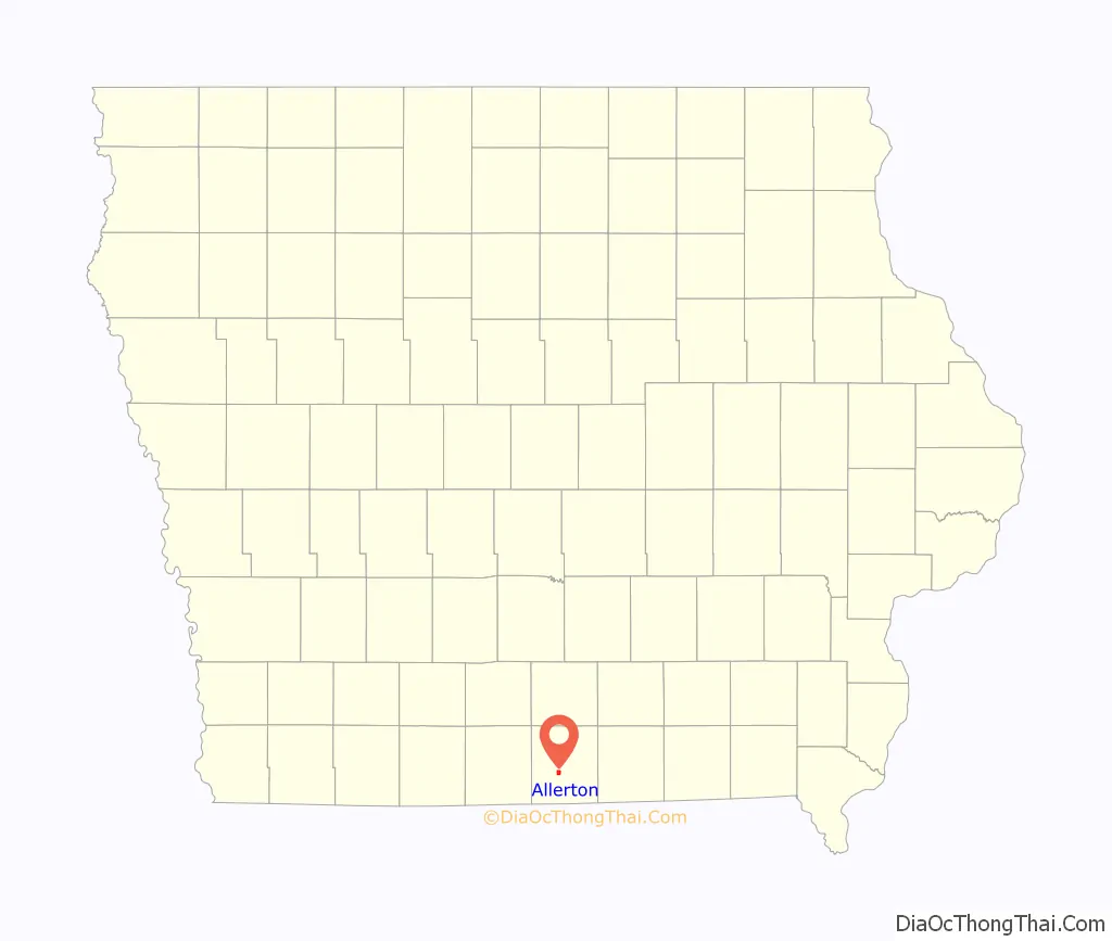
Allerton location map. Where is Allerton city?
History
Allerton was platted by the Rock Island Railroad in when it came through the area in 1870. It became a legal town in 1874 and had a peak population of 1,600 in 1913. Allerton and Corydon were rivals for the Wayne County seat. On several occasions, during the early establishment of the two towns, county records were moved back and forth, sometimes illegally, before Corydon was declared the county seat.
The southeastern side of the town was heavily damaged by an EF2 tornado on March 5, 2022.
Allerton Road Map
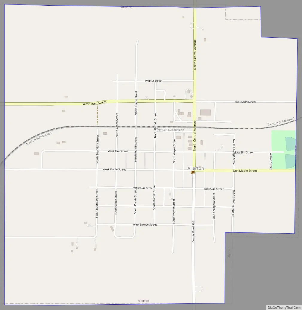
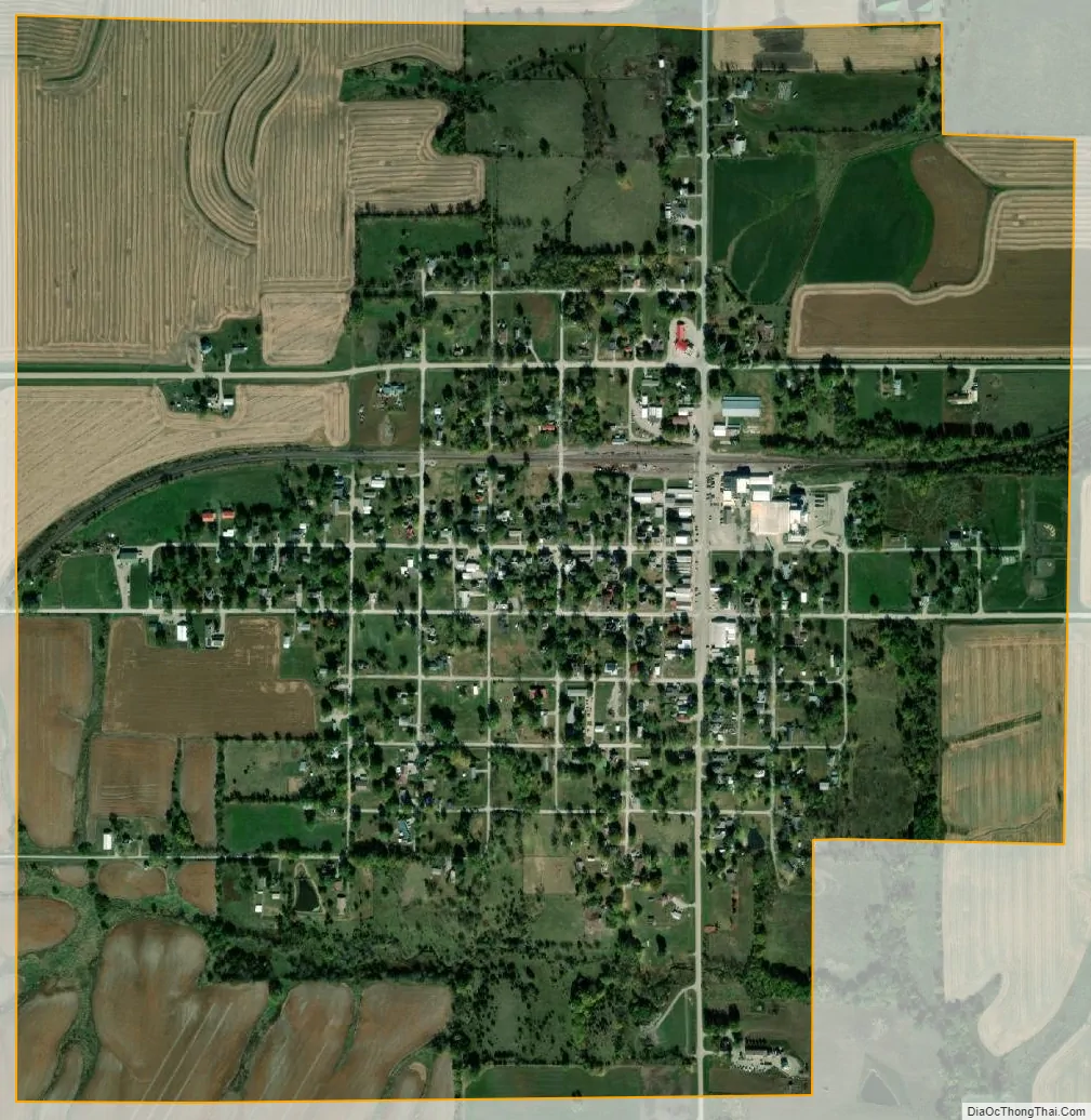
Allerton city Satellite Map
Geography
Allerton is located at 40°42′26″N 93°22′2″W / 40.70722°N 93.36722°W / 40.70722; -93.36722 (40.707108, -93.367263).
According to the United States Census Bureau, the city has a total area of 1.14 square miles (2.95 km), all land. Allerton reservoir and Bob White State Park are located approximately three miles west of Allerton.
See also
Map of Iowa State and its subdivision:- Adair
- Adams
- Allamakee
- Appanoose
- Audubon
- Benton
- Black Hawk
- Boone
- Bremer
- Buchanan
- Buena Vista
- Butler
- Calhoun
- Carroll
- Cass
- Cedar
- Cerro Gordo
- Cherokee
- Chickasaw
- Clarke
- Clay
- Clayton
- Clinton
- Crawford
- Dallas
- Davis
- Decatur
- Delaware
- Des Moines
- Dickinson
- Dubuque
- Emmet
- Fayette
- Floyd
- Franklin
- Fremont
- Greene
- Grundy
- Guthrie
- Hamilton
- Hancock
- Hardin
- Harrison
- Henry
- Howard
- Humboldt
- Ida
- Iowa
- Jackson
- Jasper
- Jefferson
- Johnson
- Jones
- Keokuk
- Kossuth
- Lee
- Linn
- Louisa
- Lucas
- Lyon
- Madison
- Mahaska
- Marion
- Marshall
- Mills
- Mitchell
- Monona
- Monroe
- Montgomery
- Muscatine
- O'Brien
- Osceola
- Page
- Palo Alto
- Plymouth
- Pocahontas
- Polk
- Pottawattamie
- Poweshiek
- Ringgold
- Sac
- Scott
- Shelby
- Sioux
- Story
- Tama
- Taylor
- Union
- Van Buren
- Wapello
- Warren
- Washington
- Wayne
- Webster
- Winnebago
- Winneshiek
- Woodbury
- Worth
- Wright
- Alabama
- Alaska
- Arizona
- Arkansas
- California
- Colorado
- Connecticut
- Delaware
- District of Columbia
- Florida
- Georgia
- Hawaii
- Idaho
- Illinois
- Indiana
- Iowa
- Kansas
- Kentucky
- Louisiana
- Maine
- Maryland
- Massachusetts
- Michigan
- Minnesota
- Mississippi
- Missouri
- Montana
- Nebraska
- Nevada
- New Hampshire
- New Jersey
- New Mexico
- New York
- North Carolina
- North Dakota
- Ohio
- Oklahoma
- Oregon
- Pennsylvania
- Rhode Island
- South Carolina
- South Dakota
- Tennessee
- Texas
- Utah
- Vermont
- Virginia
- Washington
- West Virginia
- Wisconsin
- Wyoming