Armstrong is a city in Emmet County, Iowa, United States. The population was 875 at the 2020 census. It was originally known as Armstrong Grove.
| Name: | Armstrong city |
|---|---|
| LSAD Code: | 25 |
| LSAD Description: | city (suffix) |
| State: | Iowa |
| County: | Emmet County |
| Elevation: | 1,250 ft (381 m) |
| Total Area: | 0.88 sq mi (2.29 km²) |
| Land Area: | 0.88 sq mi (2.29 km²) |
| Water Area: | 0.00 sq mi (0.00 km²) |
| Total Population: | 875 |
| Population Density: | 989.82/sq mi (382.17/km²) |
| ZIP code: | 50514 |
| Area code: | 712 |
| FIPS code: | 1902935 |
| GNISfeature ID: | 0454236 |
| Website: | www.armstrongiowa.net |
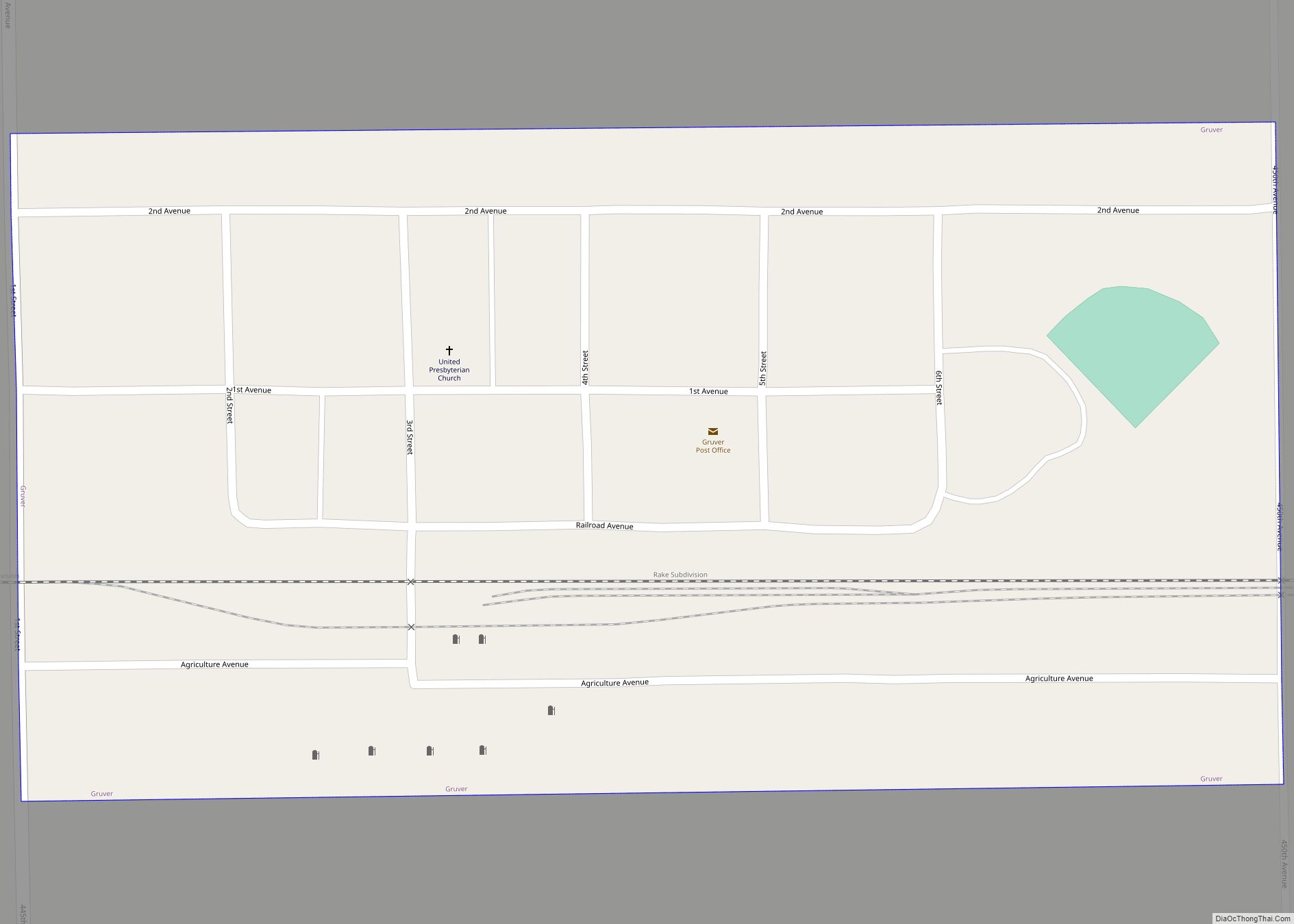
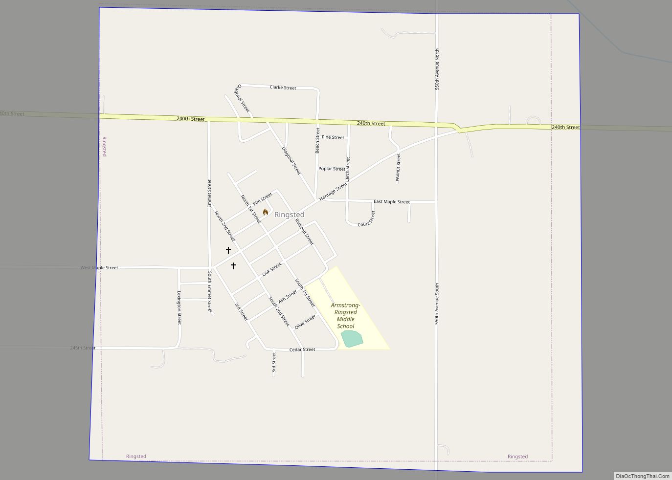
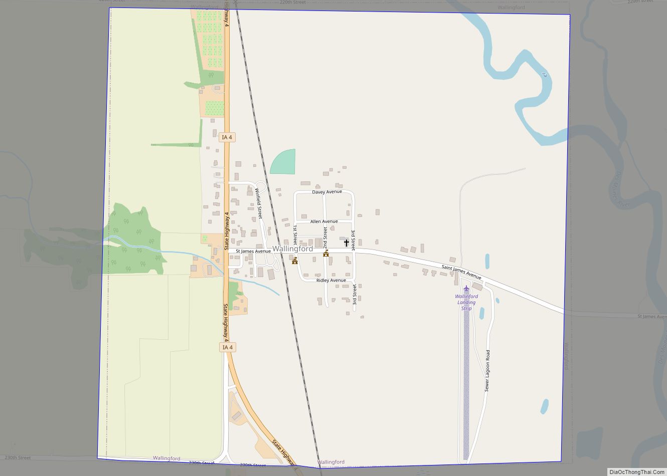
Online Interactive Map
Click on ![]() to view map in "full screen" mode.
to view map in "full screen" mode.
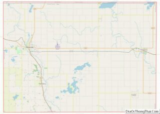
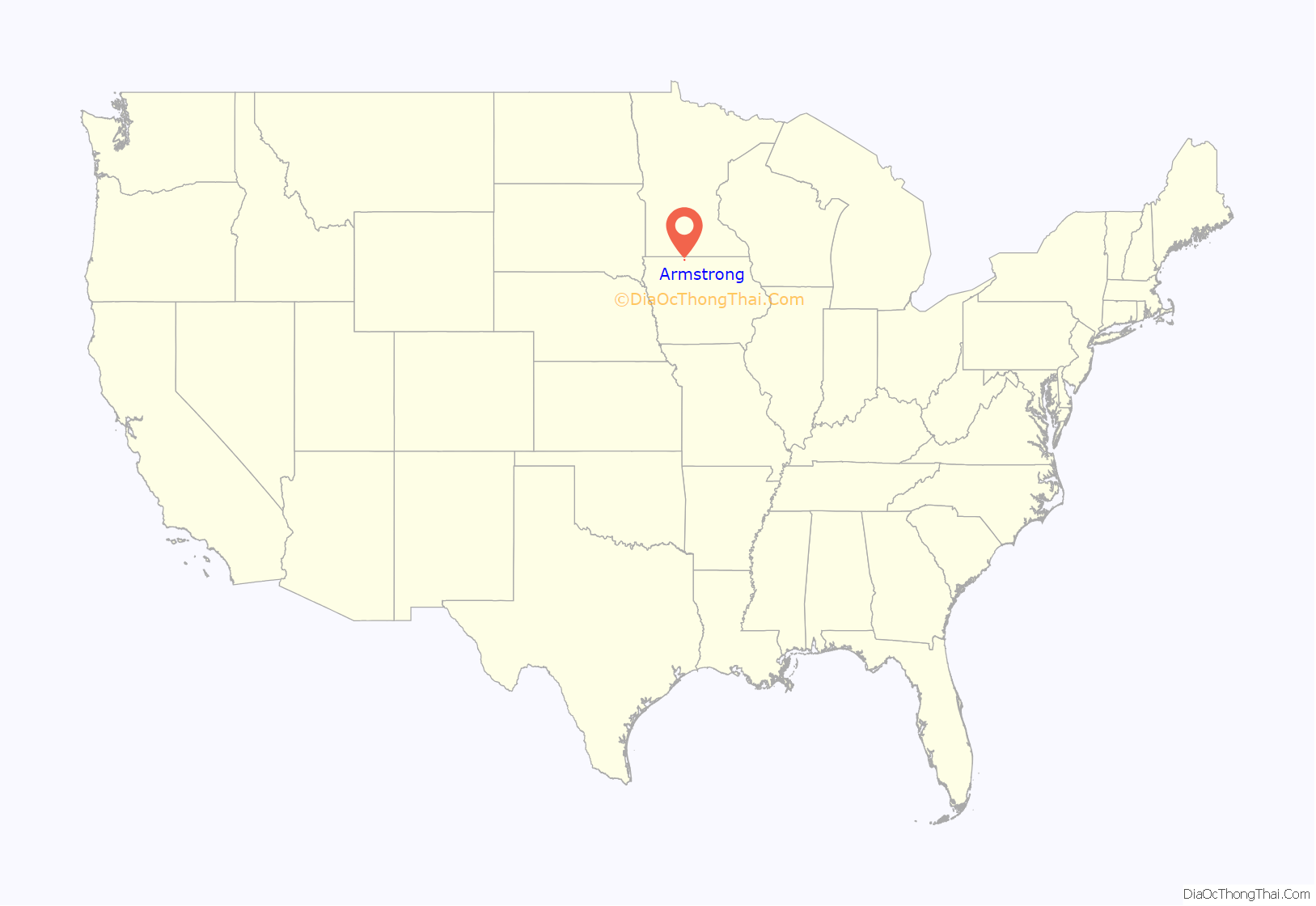
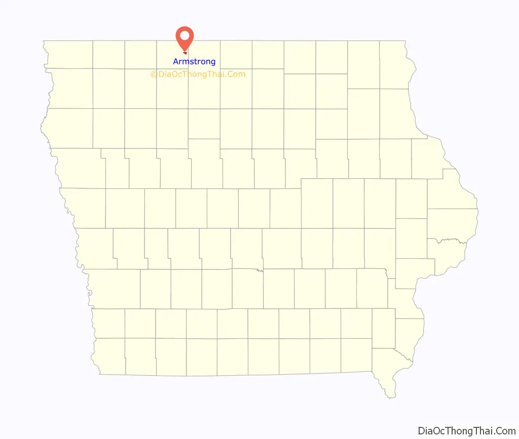
Armstrong location map. Where is Armstrong city?
History
Armstrong got its start in 1892, after the construction of the railroad through that territory. It was named after Thomas Armstrong, who first arrived in the area near the West Fork Des Moines River to trap. He spent only one winter, as it was too harsh for him. In 1892 the first locomotive arrived in Armstrong and a year later the town of Armstrong was incorporated.
In February 2021, Armstrong’s mayor, Gregory Wayne Buum; police chief, Craig Juan Merrill; city clerk, Tracie Lang; and former city clerk Connie Marie Thackery were charged with 21 felony and misdemeanor counts, including fraud, misappropriation of funds, and assault with a dangerous weapon.
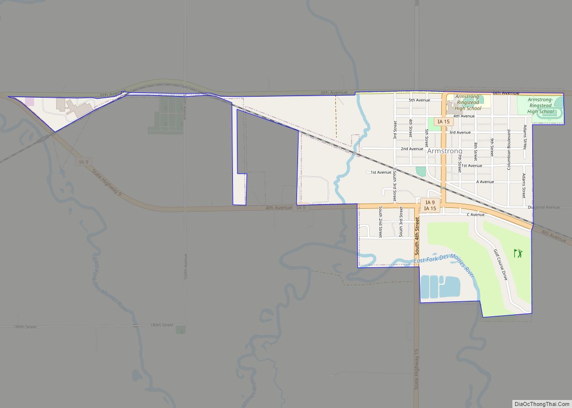
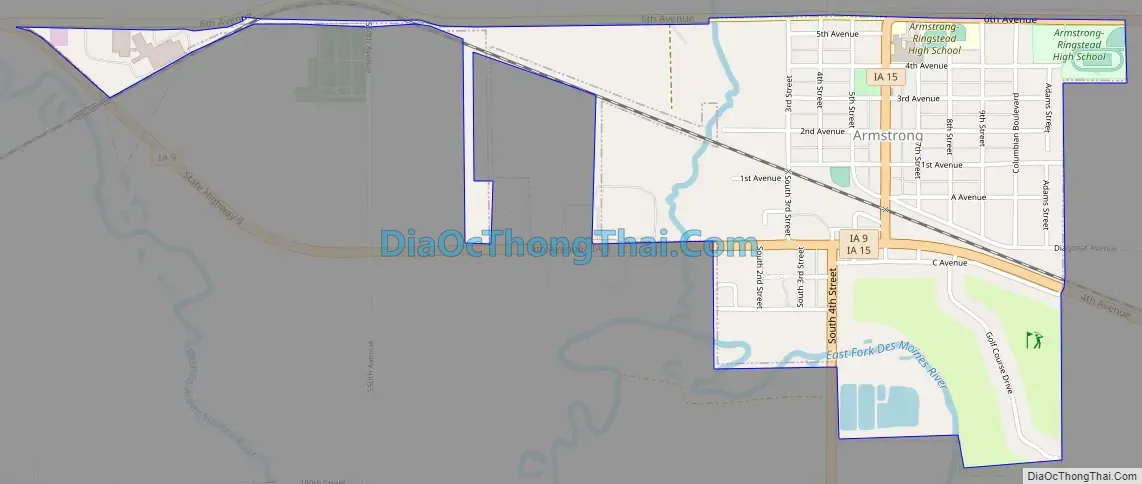
Armstrong Road Map
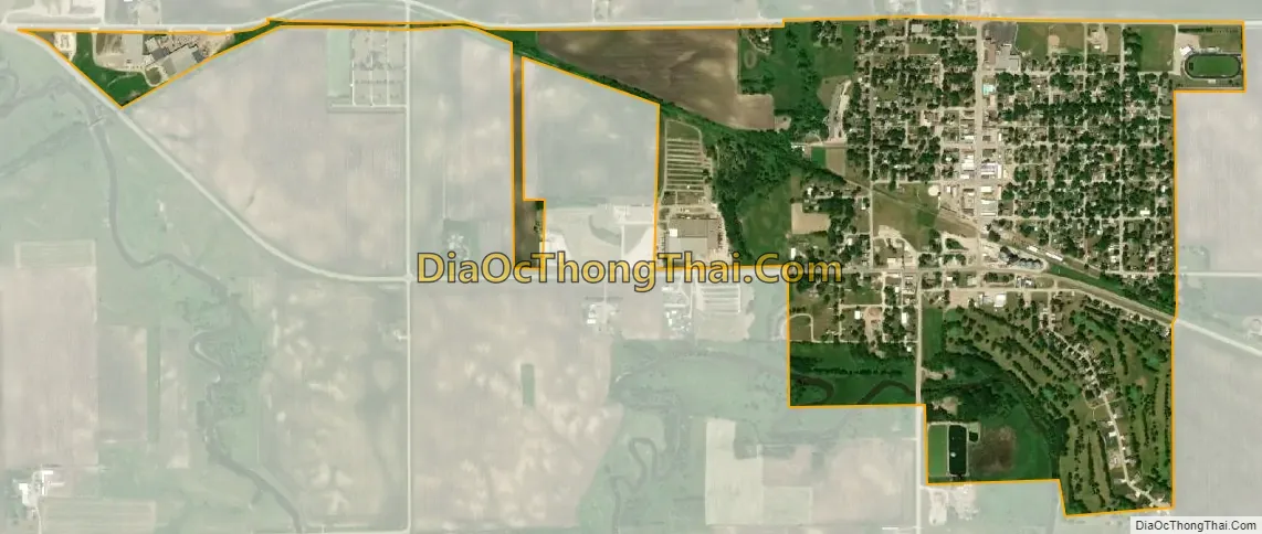
Armstrong city Satellite Map
Geography
Armstrong is located at 43°23′45″N 94°28′51″W / 43.39583°N 94.48083°W / 43.39583; -94.48083 (43.395722, -94.480750).
According to the United States Census Bureau, the city has an area of 0.88 square miles (2.28 km), all land.
See also
Map of Iowa State and its subdivision:- Adair
- Adams
- Allamakee
- Appanoose
- Audubon
- Benton
- Black Hawk
- Boone
- Bremer
- Buchanan
- Buena Vista
- Butler
- Calhoun
- Carroll
- Cass
- Cedar
- Cerro Gordo
- Cherokee
- Chickasaw
- Clarke
- Clay
- Clayton
- Clinton
- Crawford
- Dallas
- Davis
- Decatur
- Delaware
- Des Moines
- Dickinson
- Dubuque
- Emmet
- Fayette
- Floyd
- Franklin
- Fremont
- Greene
- Grundy
- Guthrie
- Hamilton
- Hancock
- Hardin
- Harrison
- Henry
- Howard
- Humboldt
- Ida
- Iowa
- Jackson
- Jasper
- Jefferson
- Johnson
- Jones
- Keokuk
- Kossuth
- Lee
- Linn
- Louisa
- Lucas
- Lyon
- Madison
- Mahaska
- Marion
- Marshall
- Mills
- Mitchell
- Monona
- Monroe
- Montgomery
- Muscatine
- O'Brien
- Osceola
- Page
- Palo Alto
- Plymouth
- Pocahontas
- Polk
- Pottawattamie
- Poweshiek
- Ringgold
- Sac
- Scott
- Shelby
- Sioux
- Story
- Tama
- Taylor
- Union
- Van Buren
- Wapello
- Warren
- Washington
- Wayne
- Webster
- Winnebago
- Winneshiek
- Woodbury
- Worth
- Wright
- Alabama
- Alaska
- Arizona
- Arkansas
- California
- Colorado
- Connecticut
- Delaware
- District of Columbia
- Florida
- Georgia
- Hawaii
- Idaho
- Illinois
- Indiana
- Iowa
- Kansas
- Kentucky
- Louisiana
- Maine
- Maryland
- Massachusetts
- Michigan
- Minnesota
- Mississippi
- Missouri
- Montana
- Nebraska
- Nevada
- New Hampshire
- New Jersey
- New Mexico
- New York
- North Carolina
- North Dakota
- Ohio
- Oklahoma
- Oregon
- Pennsylvania
- Rhode Island
- South Carolina
- South Dakota
- Tennessee
- Texas
- Utah
- Vermont
- Virginia
- Washington
- West Virginia
- Wisconsin
- Wyoming