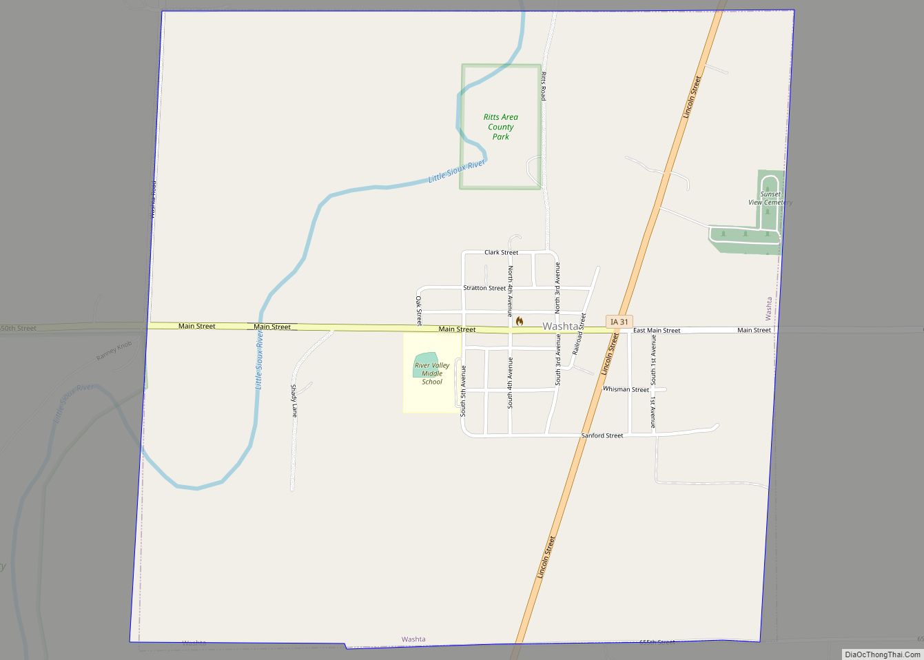
Aurelia is a city in Cherokee County, Iowa, United States. The population was 968 at the 2020 census.
| Name: | Aurelia city |
|---|---|
| LSAD Code: | 25 |
| LSAD Description: | city (suffix) |
| State: | Iowa |
| County: | Cherokee County |
| Elevation: | 1,391 ft (424 m) |
| Total Area: | 1.01 sq mi (2.63 km²) |
| Land Area: | 1.01 sq mi (2.63 km²) |
| Water Area: | 0.00 sq mi (0.00 km²) |
| Total Population: | 968 |
| Population Density: | 954.64/sq mi (368.44/km²) |
| ZIP code: | 51005 |
| Area code: | 712 |
| FIPS code: | 1903745 |
| GNISfeature ID: | 0454283 |
Online Interactive Map
Click on ![]() to view map in "full screen" mode.
to view map in "full screen" mode.
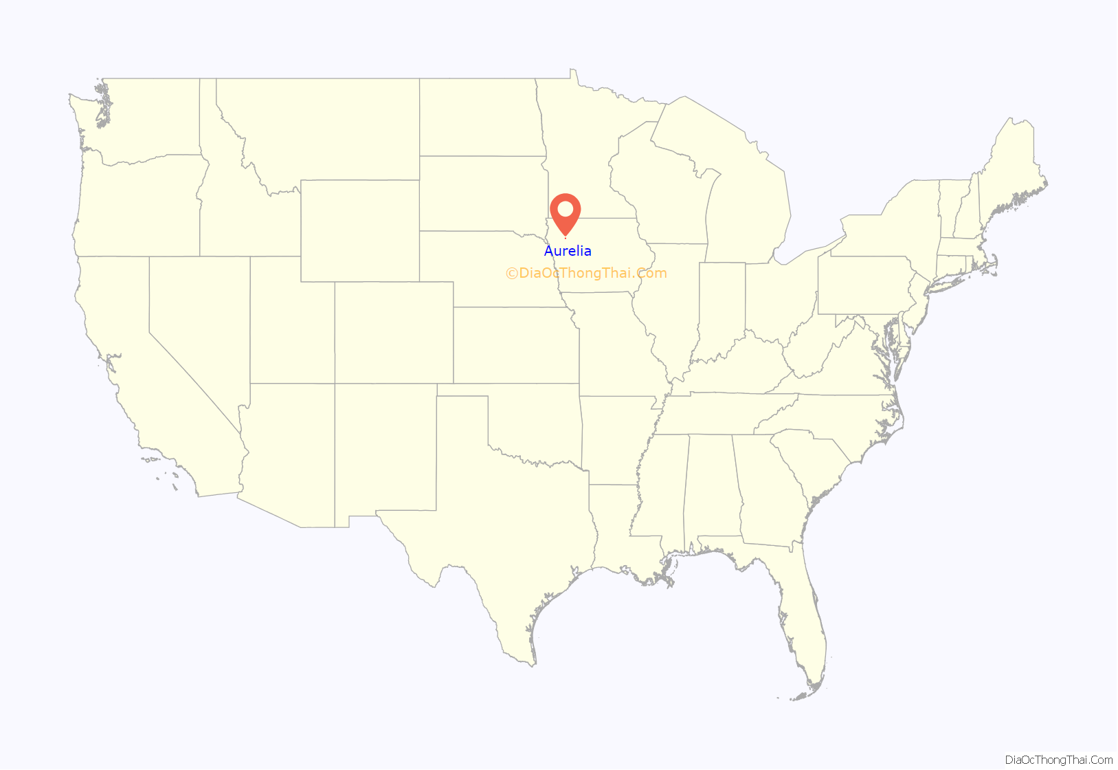
Aurelia location map. Where is Aurelia city?
History
Aurelia was founded in 1873 as a stop along the Illinois Central Railroad branch connecting Sioux City, Iowa, to Chicago, Illinois. This was the only railroad connecting the two Midwestern hubs and so gave birth to many railroad towns. Aurelia was named for the youngest daughter of the owner of the railroad, John Insley Blair, who died in 1866. The location of Aurelia was only set after a last minute change in the railroad design that saw it redirect to go through LeMars and Cherokee, rather than connect Sioux City directly to Storm Lake. Almost 70% of Aurelia’s population is people over age 50. Its newspaper is the Aurelia Star which was founded in March 1881 as the Aurelia Sentinel.
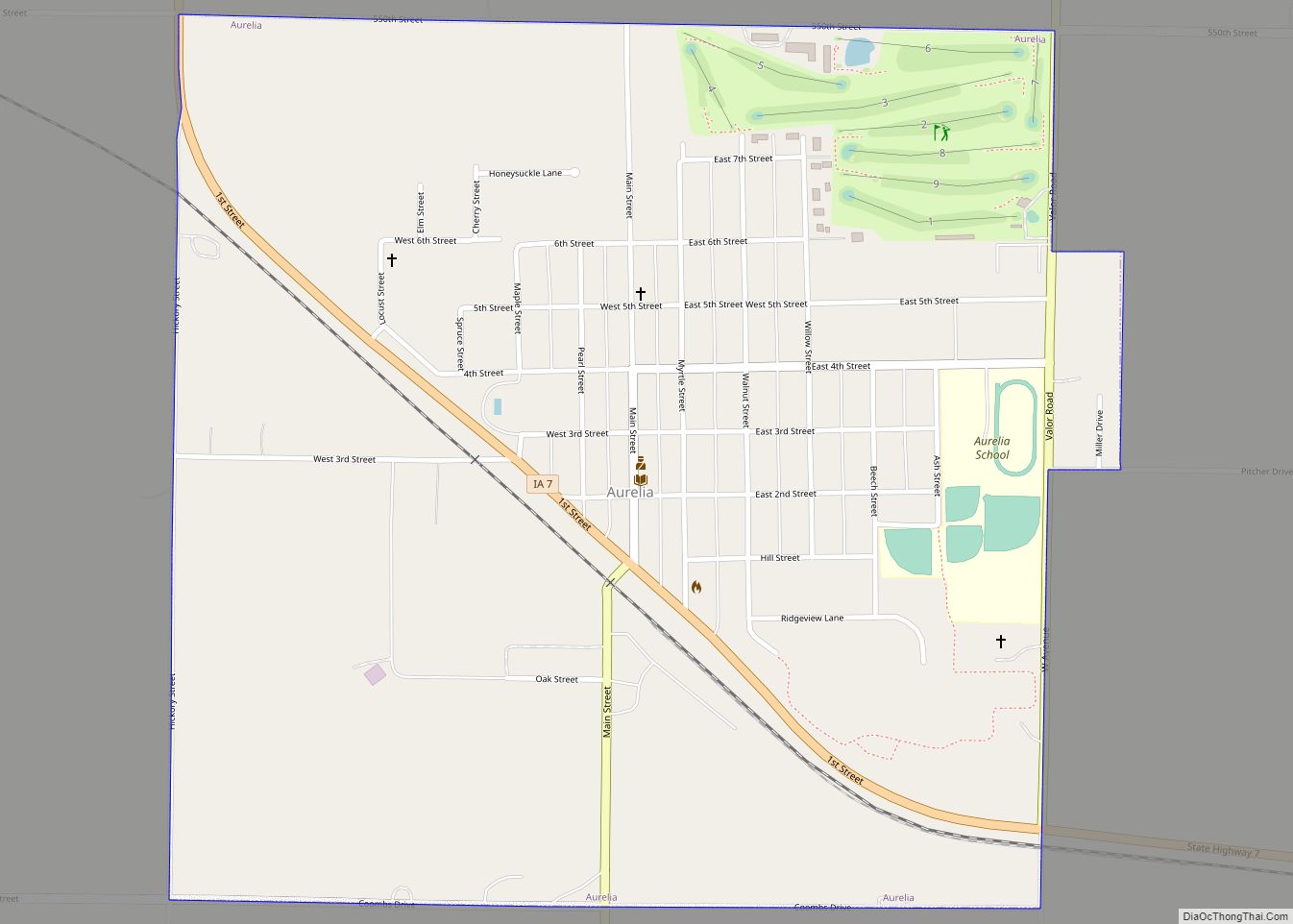
Aurelia Road Map
Aurelia city Satellite Map
Geography
Aurelia is located at 42°42′51″N 95°26′05″W / 42.714055°N 95.434696°W / 42.714055; -95.434696.
According to the United States Census Bureau, the city has a total area of 1.04 square miles (2.69 km), all land.
See also
Map of Iowa State and its subdivision:- Adair
- Adams
- Allamakee
- Appanoose
- Audubon
- Benton
- Black Hawk
- Boone
- Bremer
- Buchanan
- Buena Vista
- Butler
- Calhoun
- Carroll
- Cass
- Cedar
- Cerro Gordo
- Cherokee
- Chickasaw
- Clarke
- Clay
- Clayton
- Clinton
- Crawford
- Dallas
- Davis
- Decatur
- Delaware
- Des Moines
- Dickinson
- Dubuque
- Emmet
- Fayette
- Floyd
- Franklin
- Fremont
- Greene
- Grundy
- Guthrie
- Hamilton
- Hancock
- Hardin
- Harrison
- Henry
- Howard
- Humboldt
- Ida
- Iowa
- Jackson
- Jasper
- Jefferson
- Johnson
- Jones
- Keokuk
- Kossuth
- Lee
- Linn
- Louisa
- Lucas
- Lyon
- Madison
- Mahaska
- Marion
- Marshall
- Mills
- Mitchell
- Monona
- Monroe
- Montgomery
- Muscatine
- O'Brien
- Osceola
- Page
- Palo Alto
- Plymouth
- Pocahontas
- Polk
- Pottawattamie
- Poweshiek
- Ringgold
- Sac
- Scott
- Shelby
- Sioux
- Story
- Tama
- Taylor
- Union
- Van Buren
- Wapello
- Warren
- Washington
- Wayne
- Webster
- Winnebago
- Winneshiek
- Woodbury
- Worth
- Wright
- Alabama
- Alaska
- Arizona
- Arkansas
- California
- Colorado
- Connecticut
- Delaware
- District of Columbia
- Florida
- Georgia
- Hawaii
- Idaho
- Illinois
- Indiana
- Iowa
- Kansas
- Kentucky
- Louisiana
- Maine
- Maryland
- Massachusetts
- Michigan
- Minnesota
- Mississippi
- Missouri
- Montana
- Nebraska
- Nevada
- New Hampshire
- New Jersey
- New Mexico
- New York
- North Carolina
- North Dakota
- Ohio
- Oklahoma
- Oregon
- Pennsylvania
- Rhode Island
- South Carolina
- South Dakota
- Tennessee
- Texas
- Utah
- Vermont
- Virginia
- Washington
- West Virginia
- Wisconsin
- Wyoming
