Cherokee is a city in Cherokee County, Iowa, United States. The population was 5,199 at the 2020 Census, down from 5,369 in 2000. It is the county seat of Cherokee County.
| Name: | Cherokee city |
|---|---|
| LSAD Code: | 25 |
| LSAD Description: | city (suffix) |
| State: | Iowa |
| County: | Cherokee County |
| Elevation: | 1,194 ft (364 m) |
| Total Area: | 6.86 sq mi (17.76 km²) |
| Land Area: | 6.83 sq mi (17.70 km²) |
| Water Area: | 0.02 sq mi (0.06 km²) |
| Total Population: | 5,199 |
| Population Density: | 760.87/sq mi (293.77/km²) |
| ZIP code: | 51012 |
| Area code: | 712 |
| FIPS code: | 1913080 |
| GNISfeature ID: | 0455370 |
| Website: | www.cherokeeiowa.net |
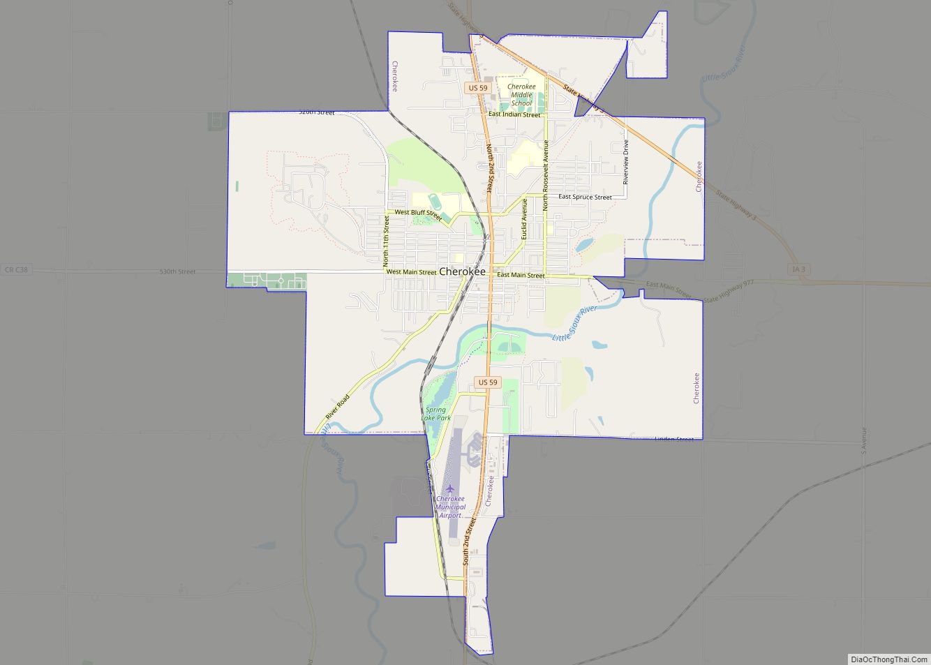
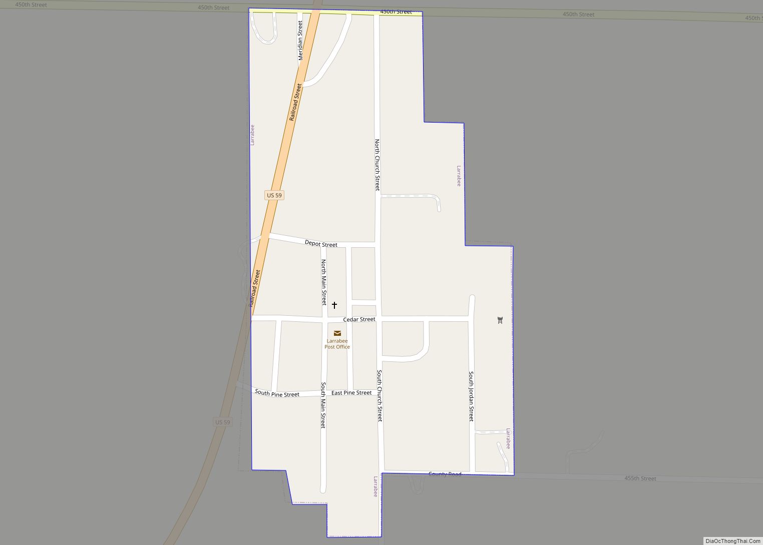
Online Interactive Map
Click on ![]() to view map in "full screen" mode.
to view map in "full screen" mode.
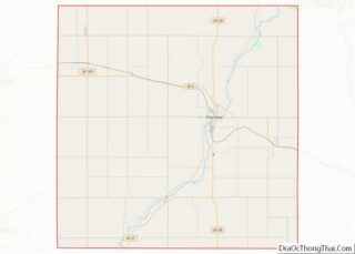
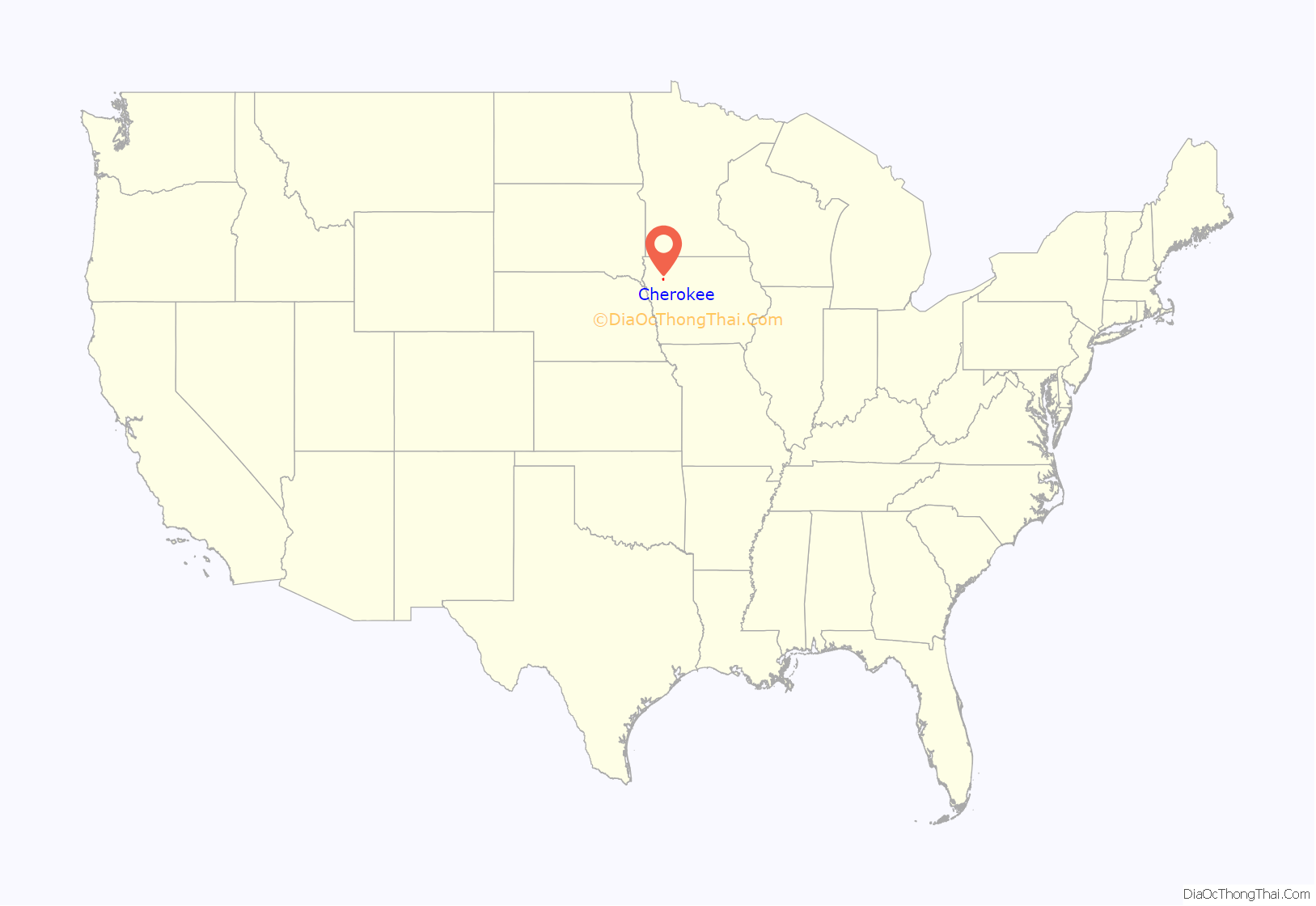
Cherokee location map. Where is Cherokee city?
History
Cherokee was laid out as a town in 1870, and was named for the Southeast Indian tribe, most of whose members had been removed to Indian Territory in the late 1830s. Cherokee was incorporated on April 5, 1873.
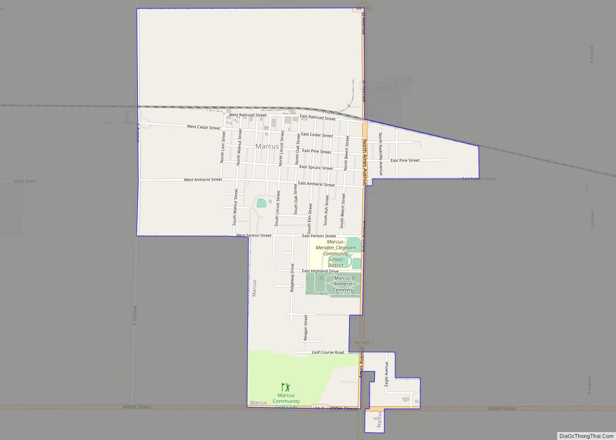
Cherokee Road Map
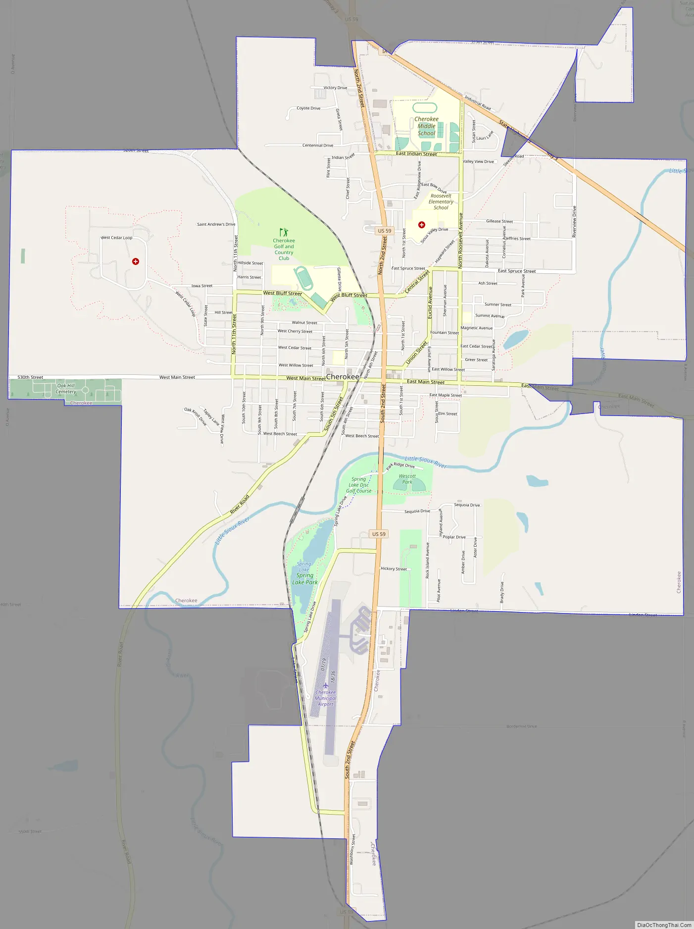
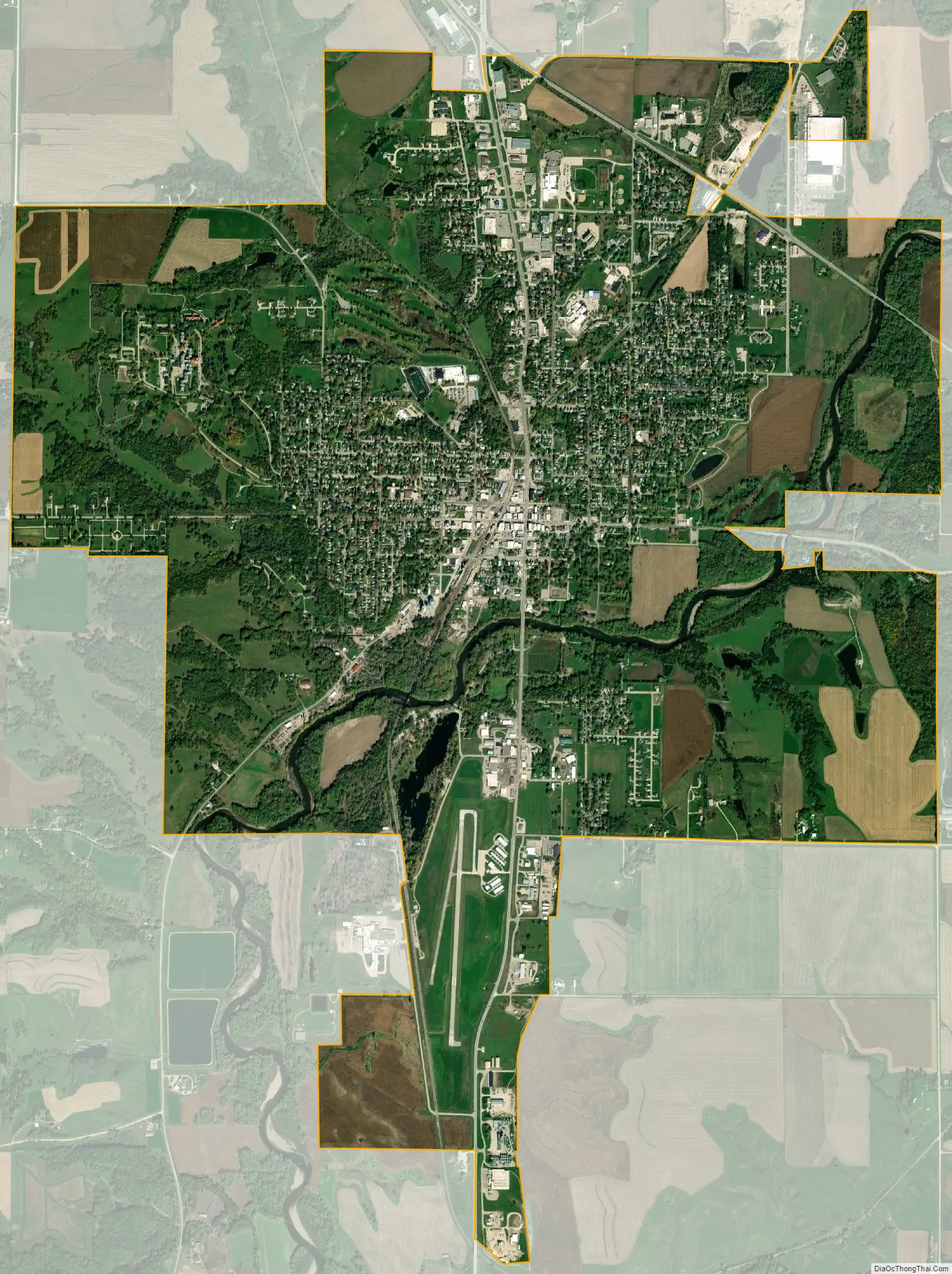
Cherokee city Satellite Map
Geography
According to the United States Census Bureau, the city has a total area of 6.45 square miles (16.71 km), of which 6.43 square miles (16.65 km) is land and 0.02 square miles (0.05 km) is water.
Climate
See also
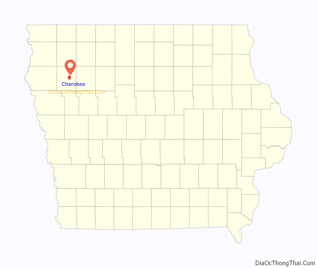
Map of Iowa State and its subdivision:- Adair
- Adams
- Allamakee
- Appanoose
- Audubon
- Benton
- Black Hawk
- Boone
- Bremer
- Buchanan
- Buena Vista
- Butler
- Calhoun
- Carroll
- Cass
- Cedar
- Cerro Gordo
- Cherokee
- Chickasaw
- Clarke
- Clay
- Clayton
- Clinton
- Crawford
- Dallas
- Davis
- Decatur
- Delaware
- Des Moines
- Dickinson
- Dubuque
- Emmet
- Fayette
- Floyd
- Franklin
- Fremont
- Greene
- Grundy
- Guthrie
- Hamilton
- Hancock
- Hardin
- Harrison
- Henry
- Howard
- Humboldt
- Ida
- Iowa
- Jackson
- Jasper
- Jefferson
- Johnson
- Jones
- Keokuk
- Kossuth
- Lee
- Linn
- Louisa
- Lucas
- Lyon
- Madison
- Mahaska
- Marion
- Marshall
- Mills
- Mitchell
- Monona
- Monroe
- Montgomery
- Muscatine
- O'Brien
- Osceola
- Page
- Palo Alto
- Plymouth
- Pocahontas
- Polk
- Pottawattamie
- Poweshiek
- Ringgold
- Sac
- Scott
- Shelby
- Sioux
- Story
- Tama
- Taylor
- Union
- Van Buren
- Wapello
- Warren
- Washington
- Wayne
- Webster
- Winnebago
- Winneshiek
- Woodbury
- Worth
- Wright
- Alabama
- Alaska
- Arizona
- Arkansas
- California
- Colorado
- Connecticut
- Delaware
- District of Columbia
- Florida
- Georgia
- Hawaii
- Idaho
- Illinois
- Indiana
- Iowa
- Kansas
- Kentucky
- Louisiana
- Maine
- Maryland
- Massachusetts
- Michigan
- Minnesota
- Mississippi
- Missouri
- Montana
- Nebraska
- Nevada
- New Hampshire
- New Jersey
- New Mexico
- New York
- North Carolina
- North Dakota
- Ohio
- Oklahoma
- Oregon
- Pennsylvania
- Rhode Island
- South Carolina
- South Dakota
- Tennessee
- Texas
- Utah
- Vermont
- Virginia
- Washington
- West Virginia
- Wisconsin
- Wyoming