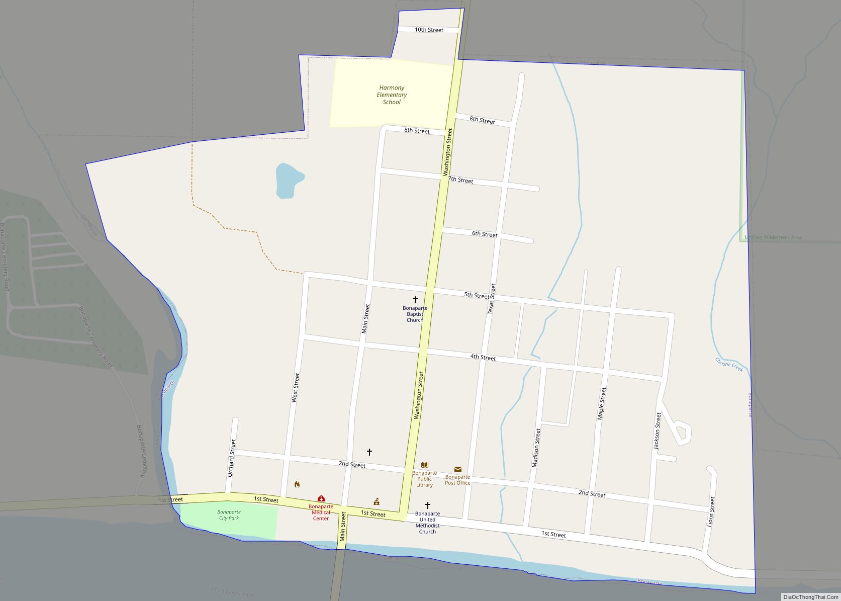
Bonaparte is a city in Van Buren County, Iowa, United States. The population was 359 at the 2020 census.
The town is located on the Des Moines River and contains a number of historical buildings, including a large pottery.
| Name: | Bonaparte city |
|---|---|
| LSAD Code: | 25 |
| LSAD Description: | city (suffix) |
| State: | Iowa |
| County: | Van Buren County |
| Elevation: | 548 ft (167 m) |
| Total Area: | 0.37 sq mi (0.97 km²) |
| Land Area: | 0.37 sq mi (0.97 km²) |
| Water Area: | 0.00 sq mi (0.00 km²) |
| Total Population: | 359 |
| Population Density: | 959.89/sq mi (370.56/km²) |
| ZIP code: | 52620 |
| Area code: | 319 |
| FIPS code: | 1907345 |
| GNISfeature ID: | 0454744 |
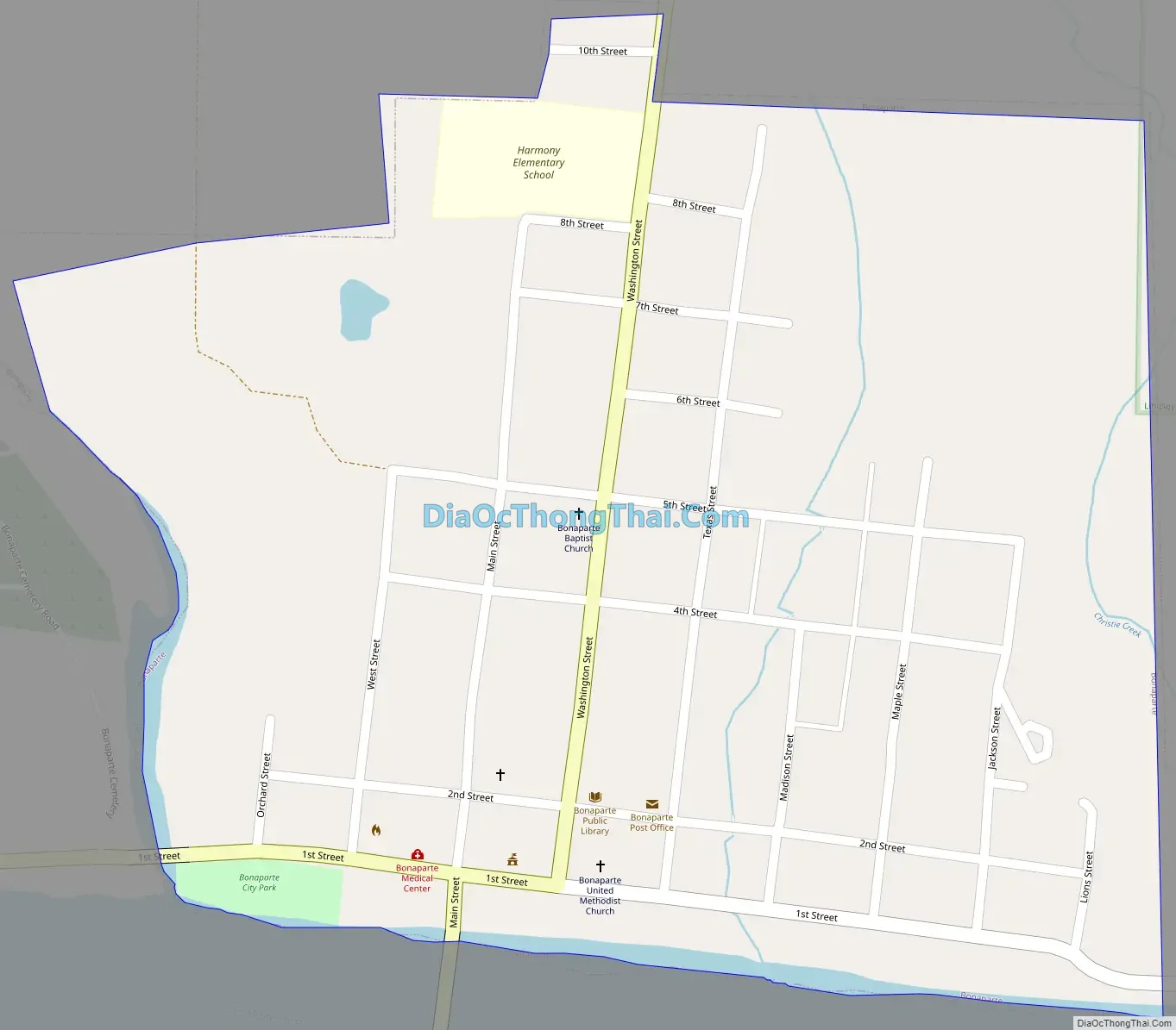
Online Interactive Map
Click on ![]() to view map in "full screen" mode.
to view map in "full screen" mode.
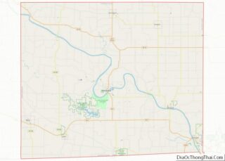
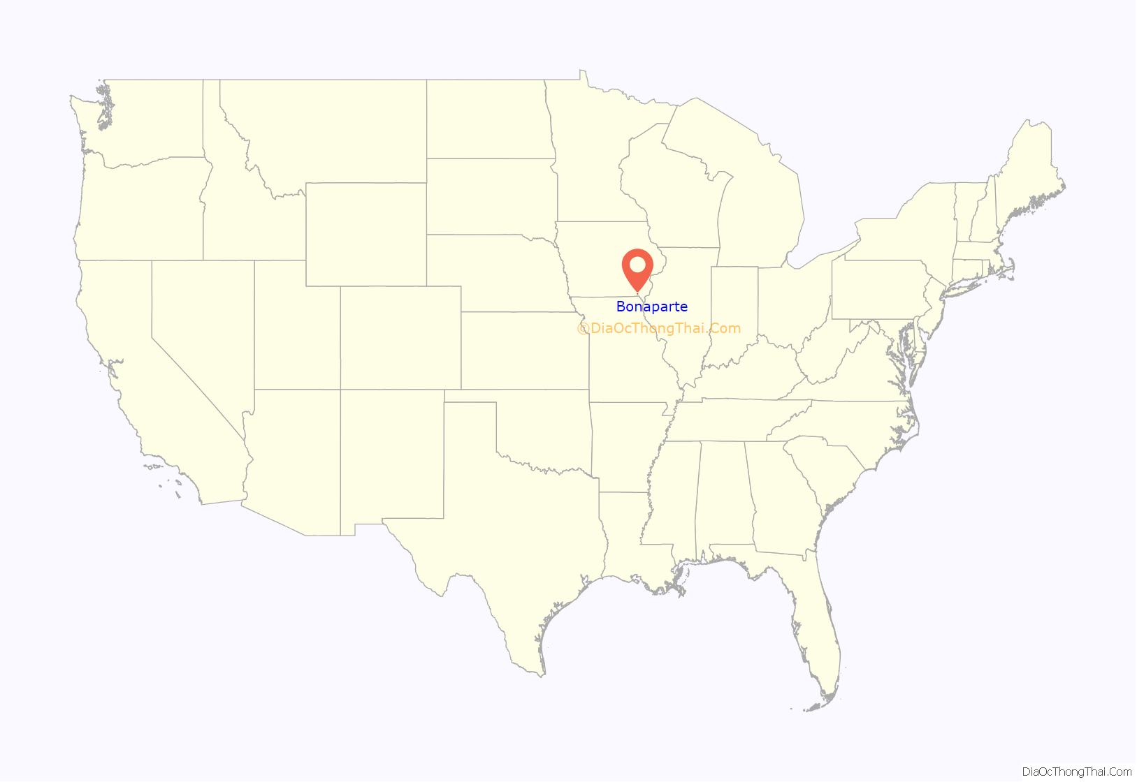
Bonaparte location map. Where is Bonaparte city?
History
The area was established in 1837 by William Meek, and named Meek’s Mill. The lots were resurveyed in 1841, and the name was changed to Bonaparte. Another townsite called Napoleon was established across the river, though it was never developed. William Meek was an admirer of the Emperor, and was responsible for both names. The town was incorporated in 1899.
The town was flooded during the Flood of 1851.
Bonaparte is located along the historic Mormon Trail, and there are five sites in or near Bonaparte listed on the National Register of Historic Places:
- Aunty Green Hotel
- Bonaparte Historic Riverfront District
- Bonaparte Pottery Archeological District
- Meek’s Flour Mill
- Des Moines River Locks No. 5 and No. 7
Charles E. Pickett, who served two terms as a U.S. Representative from Iowa’s 3rd congressional district, was born near Bonaparte.
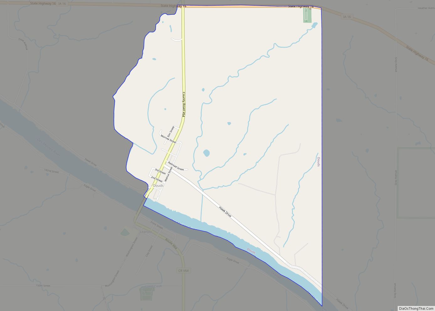
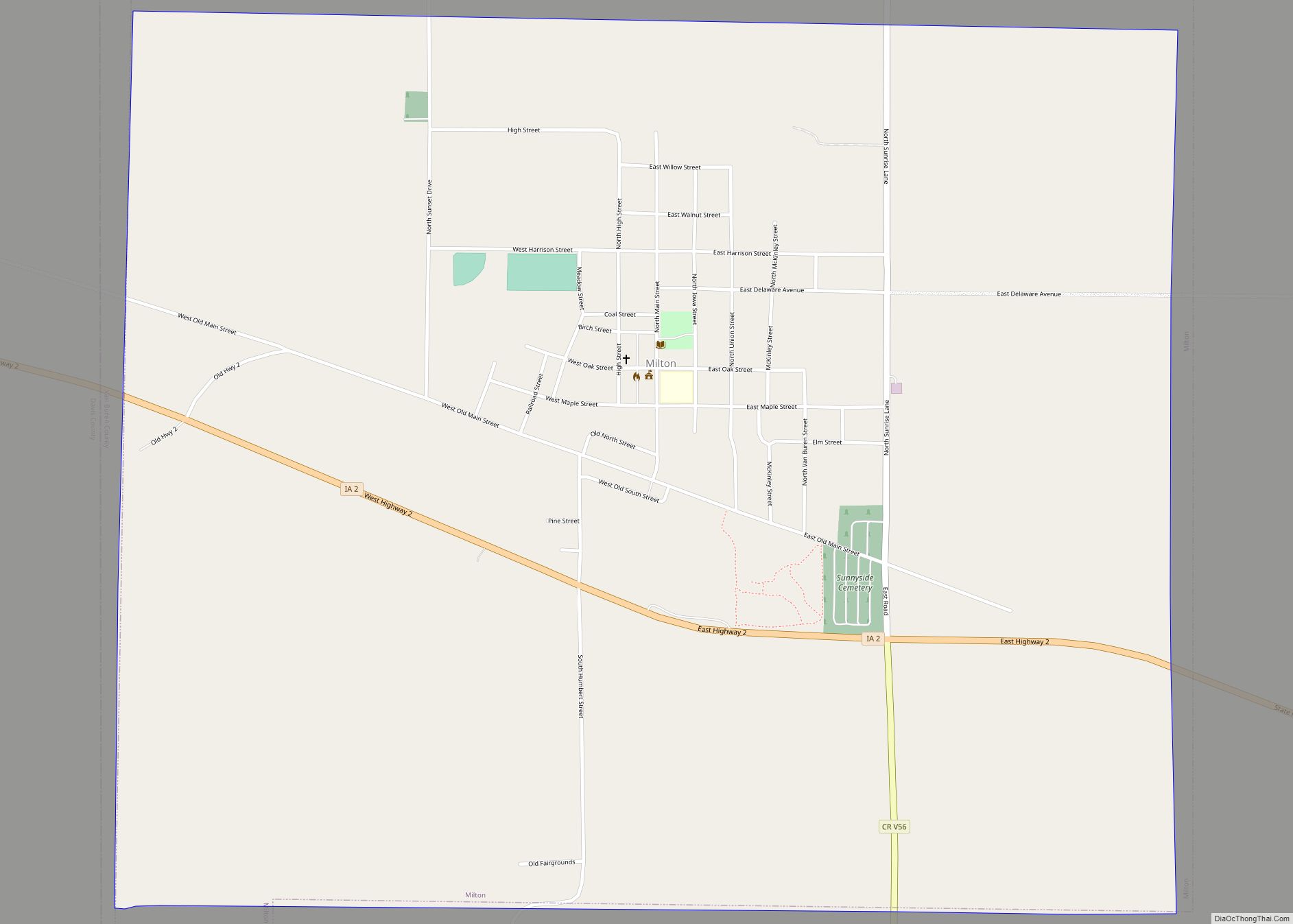
Bonaparte Road Map
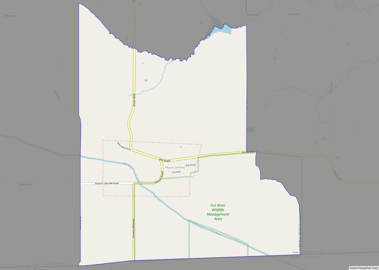
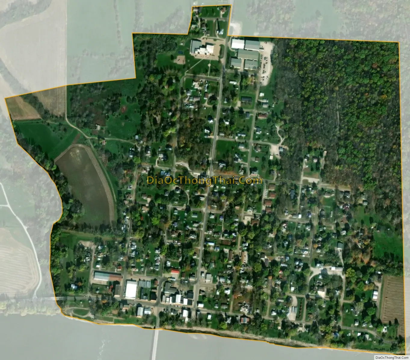
Bonaparte city Satellite Map
Geography
Bonaparte’s longitude and latitude coordinates in decimal form are 40.699914, -91.800837.
According to the United States Census Bureau, the city has a total area of 0.37 square miles (0.96 km), all land.
See also
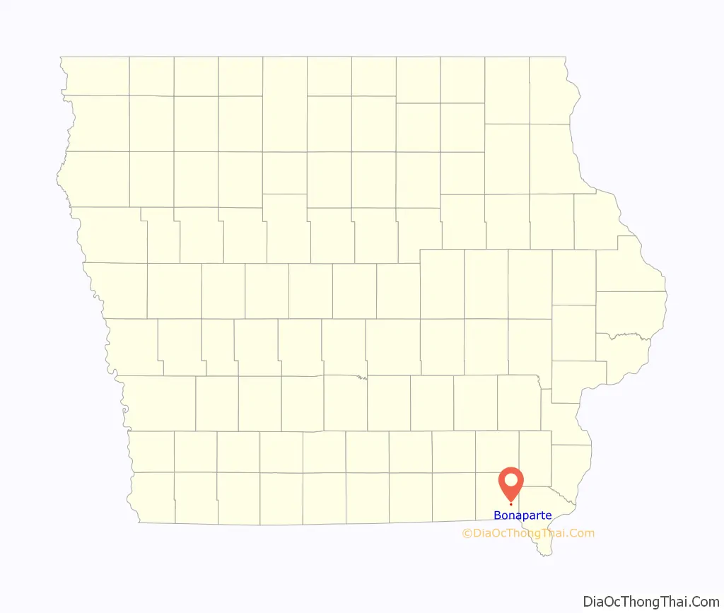
Map of Iowa State and its subdivision:- Adair
- Adams
- Allamakee
- Appanoose
- Audubon
- Benton
- Black Hawk
- Boone
- Bremer
- Buchanan
- Buena Vista
- Butler
- Calhoun
- Carroll
- Cass
- Cedar
- Cerro Gordo
- Cherokee
- Chickasaw
- Clarke
- Clay
- Clayton
- Clinton
- Crawford
- Dallas
- Davis
- Decatur
- Delaware
- Des Moines
- Dickinson
- Dubuque
- Emmet
- Fayette
- Floyd
- Franklin
- Fremont
- Greene
- Grundy
- Guthrie
- Hamilton
- Hancock
- Hardin
- Harrison
- Henry
- Howard
- Humboldt
- Ida
- Iowa
- Jackson
- Jasper
- Jefferson
- Johnson
- Jones
- Keokuk
- Kossuth
- Lee
- Linn
- Louisa
- Lucas
- Lyon
- Madison
- Mahaska
- Marion
- Marshall
- Mills
- Mitchell
- Monona
- Monroe
- Montgomery
- Muscatine
- O'Brien
- Osceola
- Page
- Palo Alto
- Plymouth
- Pocahontas
- Polk
- Pottawattamie
- Poweshiek
- Ringgold
- Sac
- Scott
- Shelby
- Sioux
- Story
- Tama
- Taylor
- Union
- Van Buren
- Wapello
- Warren
- Washington
- Wayne
- Webster
- Winnebago
- Winneshiek
- Woodbury
- Worth
- Wright
- Alabama
- Alaska
- Arizona
- Arkansas
- California
- Colorado
- Connecticut
- Delaware
- District of Columbia
- Florida
- Georgia
- Hawaii
- Idaho
- Illinois
- Indiana
- Iowa
- Kansas
- Kentucky
- Louisiana
- Maine
- Maryland
- Massachusetts
- Michigan
- Minnesota
- Mississippi
- Missouri
- Montana
- Nebraska
- Nevada
- New Hampshire
- New Jersey
- New Mexico
- New York
- North Carolina
- North Dakota
- Ohio
- Oklahoma
- Oregon
- Pennsylvania
- Rhode Island
- South Carolina
- South Dakota
- Tennessee
- Texas
- Utah
- Vermont
- Virginia
- Washington
- West Virginia
- Wisconsin
- Wyoming