Clear Lake is a city in Cerro Gordo County, Iowa, United States. The population was 7,687 at the 2020 census. The city is named for the large lake on which it is located. It is the home of a number of marinas, state parks and tourism-related businesses. Clear Lake is also a major stop on Interstate 35 with many restaurants, hotels and truck stops.
| Name: | Clear Lake city |
|---|---|
| LSAD Code: | 25 |
| LSAD Description: | city (suffix) |
| State: | Iowa |
| County: | Cerro Gordo County |
| Elevation: | 1,237 ft (377 m) |
| Total Area: | 13.37 sq mi (34.63 km²) |
| Land Area: | 10.78 sq mi (27.92 km²) |
| Water Area: | 2.59 sq mi (6.71 km²) |
| Total Population: | 7,687 |
| Population Density: | 713.15/sq mi (275.34/km²) |
| ZIP code: | 50428 |
| Area code: | 641 |
| FIPS code: | 1914025 |
| GNISfeature ID: | 0455465 |
| Website: | www.cityofclearlake.com |
Online Interactive Map
Click on ![]() to view map in "full screen" mode.
to view map in "full screen" mode.
Clear Lake location map. Where is Clear Lake city?
History
The region around the lake that would later be called Clear Lake was a summer home to the Dakota and Winnebago American Indians. During a land survey of northern Iowa done in 1832 by Nathan Boone, the son of the famous explorer Daniel Boone, a map was made showing the lake and other bodies of water in the area.
In 1851, Joseph Hewitt and James Dickirson brought their families to camp on the east side of Clear Lake, soon building a cabin, and began a friendship with the Winnebago natives. By 1853, many more white settlers had also came to settle in the area. By the year 1855, the first Clear Lake school was built as well as the first steam saw mill. In that year a hotel was built by James Crow.
By 1870, the town had 775 residents and by 1871 the streets were graded and sidewalks were made of raised boards, sure signs of a thriving new city. The city of Clear Lake was incorporated on May 26, 1871. The first bandstand in Clear Lake was built in 1877 at the City Park. The town continued to grow and built its first library in 1889. In 1909, Bayside Amusement park opened for the first time. The first North Iowa Band Festival was organized by John Kopecky, among others, in 1932.
In 1933, the Surf Ballroom opened up on the site of the old Tom Tom ballroom that had been destroyed by fire. The opening dance night saw approximately 700 couples attend. In 1947, the Surf Ballroom burned down; a new Surf Ballroom was built across the street the following year. The Bayside Amusement park closed down in 1958.
The Day the Music Died
In the early hours of February 3, 1959, a Beechcraft Bonanza aircraft carrying Buddy Holly, Ritchie Valens, and The Big Bopper, who had been performing at the Surf Ballroom in Clear Lake, took off from the local runway in nearby Mason City, on its way to the next show in Moorhead, Minnesota.
The plane crashed soon after take off, killing everyone onboard. The event was later eulogized by folk singer Don McLean in his 1971 song “American Pie”, which led to the crash being nicknamed “The Day the Music Died”.
In June 1988, around 600 people gathered to witness the dedication of the monument to the three musicians. Clear Lake also renamed Second Place North to “Buddy Holly Place”.
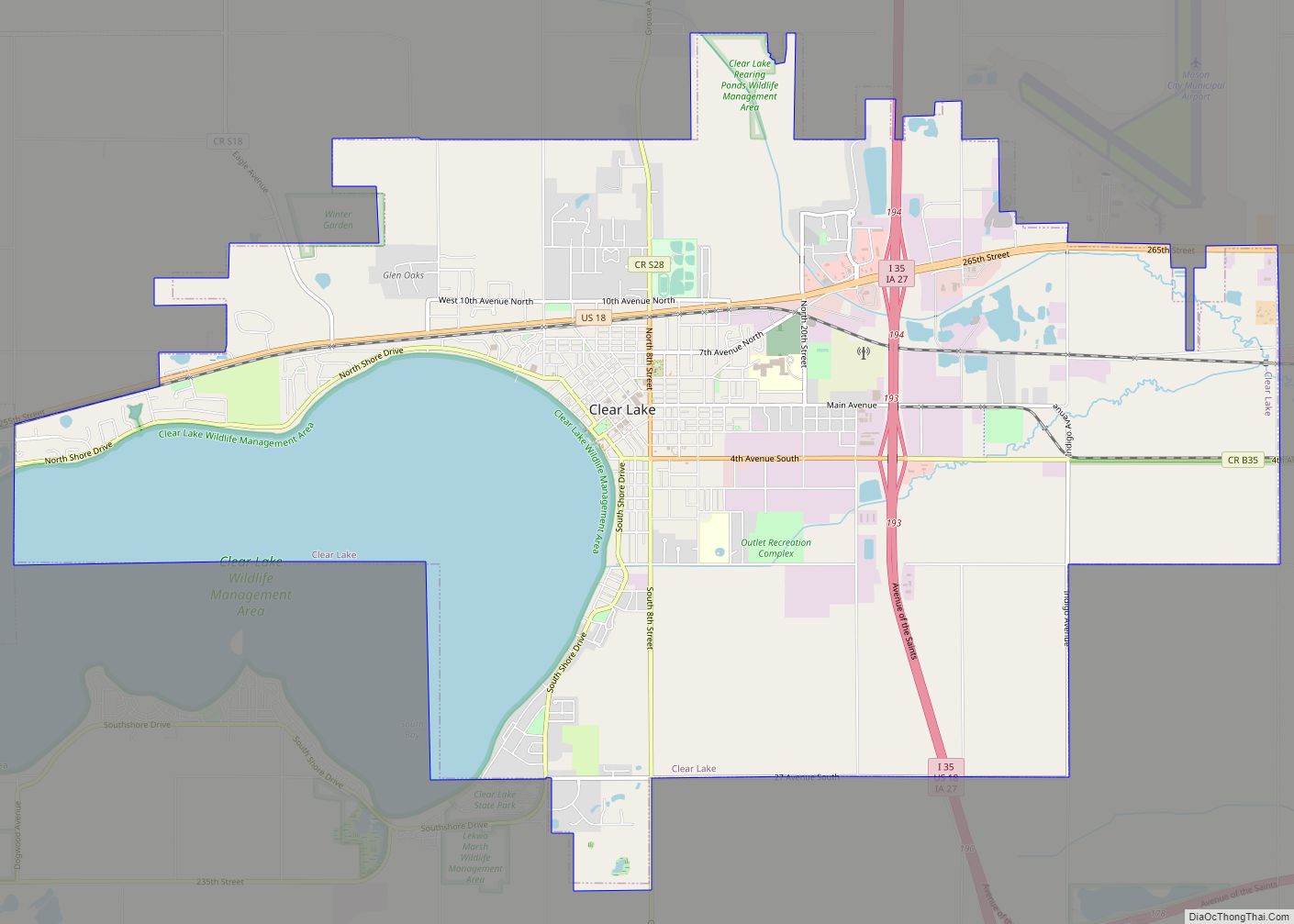
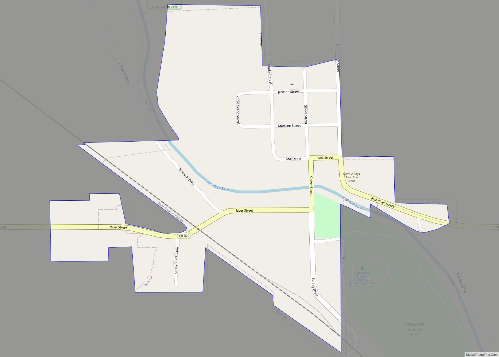
Clear Lake Road Map
Clear Lake city Satellite Map
Geography
Clear Lake is located at 43°8′11″N 93°22′48″W / 43.13639°N 93.38000°W / 43.13639; -93.38000 (43.136479, −93.379927).
According to the United States Census Bureau, the city has a total area of 13.44 square miles (34.81 km), of which 10.80 square miles (27.97 km) is land and 2.64 square miles (6.84 km) is water.
Climate
Clear Lake, Iowa has a hot/warm summer humid continental climate (Dfa).
See also
Map of Iowa State and its subdivision:- Adair
- Adams
- Allamakee
- Appanoose
- Audubon
- Benton
- Black Hawk
- Boone
- Bremer
- Buchanan
- Buena Vista
- Butler
- Calhoun
- Carroll
- Cass
- Cedar
- Cerro Gordo
- Cherokee
- Chickasaw
- Clarke
- Clay
- Clayton
- Clinton
- Crawford
- Dallas
- Davis
- Decatur
- Delaware
- Des Moines
- Dickinson
- Dubuque
- Emmet
- Fayette
- Floyd
- Franklin
- Fremont
- Greene
- Grundy
- Guthrie
- Hamilton
- Hancock
- Hardin
- Harrison
- Henry
- Howard
- Humboldt
- Ida
- Iowa
- Jackson
- Jasper
- Jefferson
- Johnson
- Jones
- Keokuk
- Kossuth
- Lee
- Linn
- Louisa
- Lucas
- Lyon
- Madison
- Mahaska
- Marion
- Marshall
- Mills
- Mitchell
- Monona
- Monroe
- Montgomery
- Muscatine
- O'Brien
- Osceola
- Page
- Palo Alto
- Plymouth
- Pocahontas
- Polk
- Pottawattamie
- Poweshiek
- Ringgold
- Sac
- Scott
- Shelby
- Sioux
- Story
- Tama
- Taylor
- Union
- Van Buren
- Wapello
- Warren
- Washington
- Wayne
- Webster
- Winnebago
- Winneshiek
- Woodbury
- Worth
- Wright
- Alabama
- Alaska
- Arizona
- Arkansas
- California
- Colorado
- Connecticut
- Delaware
- District of Columbia
- Florida
- Georgia
- Hawaii
- Idaho
- Illinois
- Indiana
- Iowa
- Kansas
- Kentucky
- Louisiana
- Maine
- Maryland
- Massachusetts
- Michigan
- Minnesota
- Mississippi
- Missouri
- Montana
- Nebraska
- Nevada
- New Hampshire
- New Jersey
- New Mexico
- New York
- North Carolina
- North Dakota
- Ohio
- Oklahoma
- Oregon
- Pennsylvania
- Rhode Island
- South Carolina
- South Dakota
- Tennessee
- Texas
- Utah
- Vermont
- Virginia
- Washington
- West Virginia
- Wisconsin
- Wyoming


