Columbus Junction is a city in Louisa County, Iowa. The population was 1,830 at the 2020 census. It is part of the Muscatine Micropolitan Statistical Area.
Columbus Junction is home of the historic Swinging Bridge, found one block south of Highway 92 near downtown. The 262-foot-long steel cable and wood suspension bridge was built in 1922 as an elevated walkway connecting Third and Fourth streets.
The Columbus Community School District (which serves Columbus Junction, Columbus City, Fredonia, Cotter, Conesville, and other surrounding townships) is based in Columbus Junction. The school’s colors are blue and white and their mascot is a wildcat.
The city’s largest employer is a Tyson Foods meat processing plant located just north of the city on Highway 70.
| Name: | Columbus Junction city |
|---|---|
| LSAD Code: | 25 |
| LSAD Description: | city (suffix) |
| State: | Iowa |
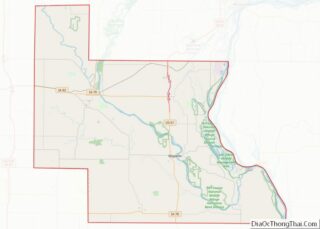
| County: | Louisa County |
| Elevation: | 607 ft (185 m) |
| Total Area: | 2.09 sq mi (5.42 km²) |
| Land Area: | 2.09 sq mi (5.42 km²) |
| Water Area: | 0.00 sq mi (0.00 km²) |
| Total Population: | 1,830 |
| Population Density: | 873.93/sq mi (337.38/km²) |
| ZIP code: | 52738 |
| Area code: | 319 |
| FIPS code: | 1915420 |
| GNISfeature ID: | 0455546 |
Online Interactive Map
Click on ![]() to view map in "full screen" mode.
to view map in "full screen" mode.
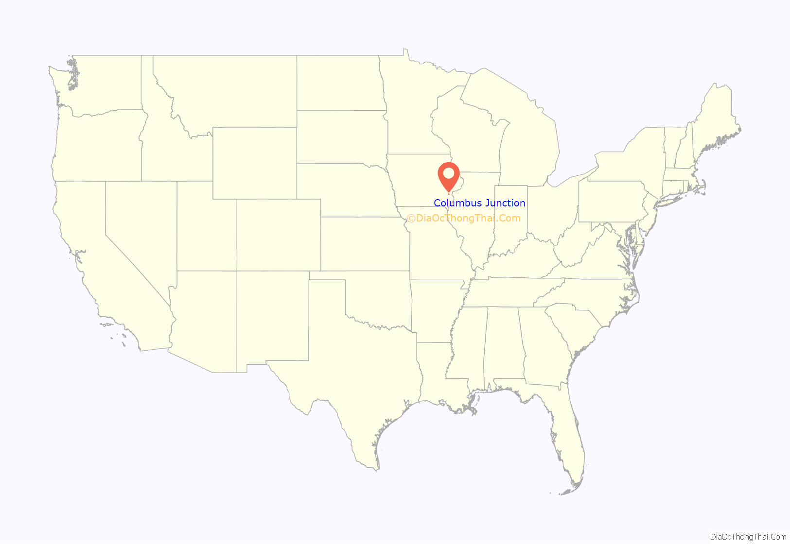
Columbus Junction location map. Where is Columbus Junction city?
History
Columbus Junction began as a settlement located at the intersection of two railroad lines. The Chicago, Rock Island and Pacific Railroad (also known as the Rock Island [Line]) built an east–west line through the area in 1858, and the perpendicular north–south Burlington, Cedar Rapids and Minnesota Railroad (BCR&M) line was built in 1870.
The first local business, a restaurant and boarding house imported via the Rock Island from Muscatine, Iowa, opened the day after a BCR&M train made the inaugural stop and crossing of the newly completed intersection. Just a month later, on March 12, 1870, the town was platted.
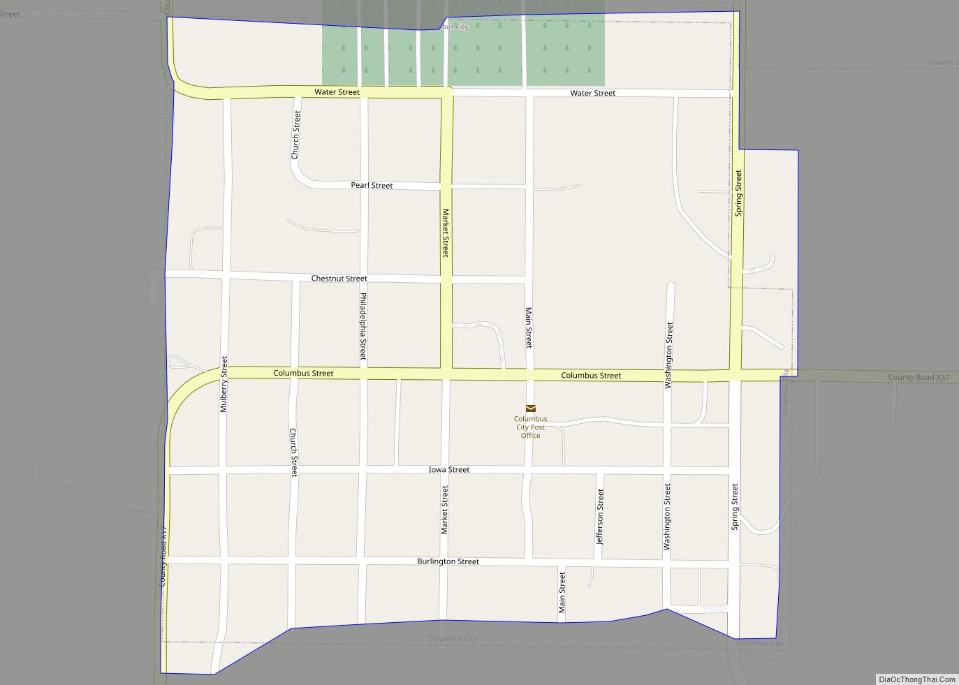
Neighboring Columbus City had been established before the railroads arrived and both the Rock Island and BCR&M had built their lines over a mile’s distance away. Because they had invested in the latter line, they were permitted to name the new town, and so it became Columbus Junction.
The largest sustained period of growth for Columbus Junction was from 1960 to 2000, driven primarily by job creation in meat processing. From 1961 to 1982 Rath Packing Company operated a hog processing plant just north of the city. In 1985 the facility reopened under the ownership of IBP, and in 2001 was bought by Tyson Foods.
Immigration has played a strong role in the history of Columbus Junction. The most recent wave of immigrants includes refugees from the Chin State of Myanmar (Burma). Many of them work in the meat processing plants.
The Iowa Flood of 2008 impacted Columbus Junction along with many other towns and cities. The damage dealt by the inundation affected 29 businesses and non-profits, but the community has since been able to recover.
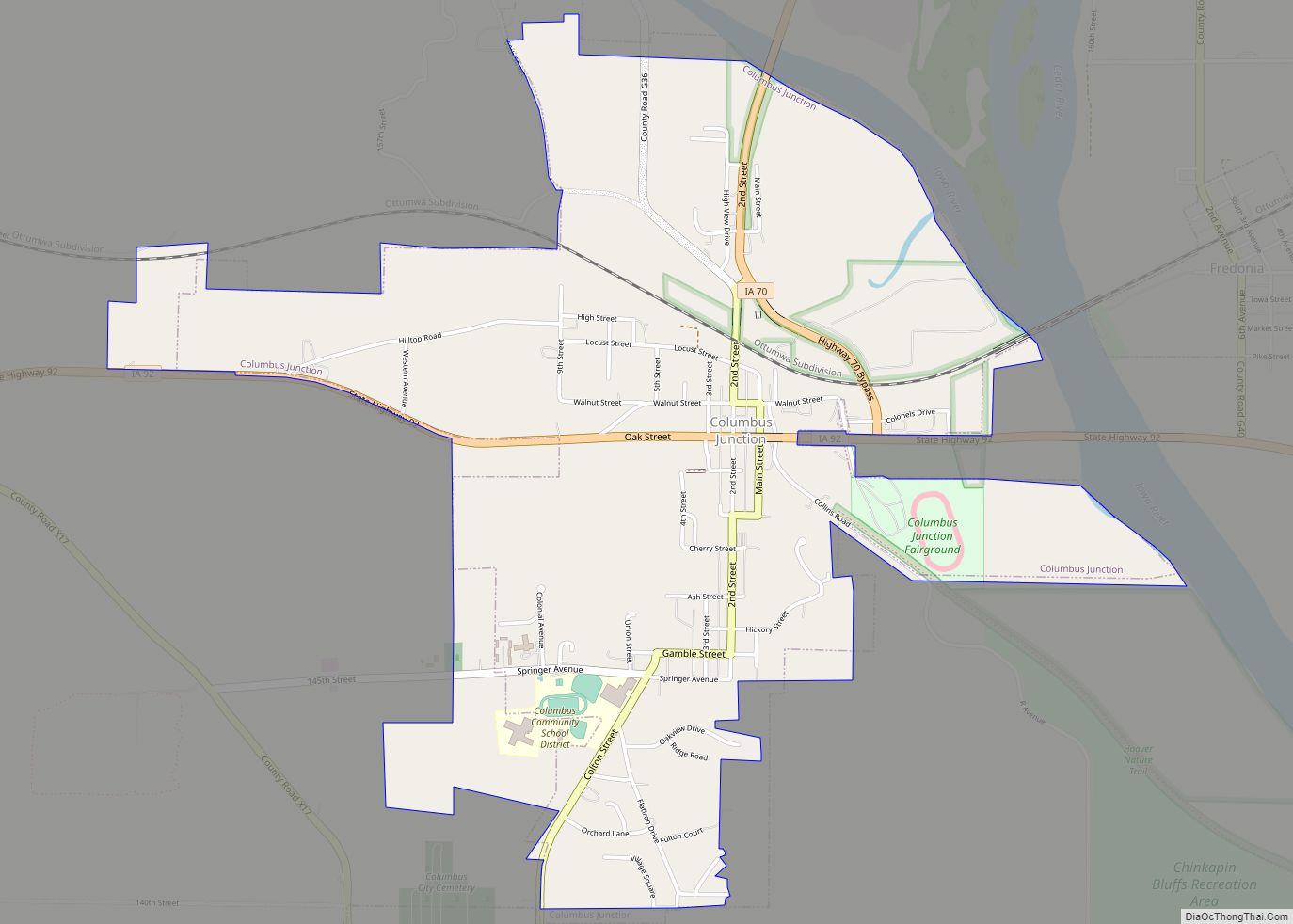
Columbus Junction Road Map
Columbus Junction city Satellite Map
Geography
Columbus Junction is located between the cities of Columbus City and Fredonia. It lies at the confluence of two rivers, the Iowa and the Cedar.
According to the United States Census Bureau, the city has a total area of 2.19 square miles (5.67 km), all land.
See also
Map of Iowa State and its subdivision:- Adair
- Adams
- Allamakee
- Appanoose
- Audubon
- Benton
- Black Hawk
- Boone
- Bremer
- Buchanan
- Buena Vista
- Butler
- Calhoun
- Carroll
- Cass
- Cedar
- Cerro Gordo
- Cherokee
- Chickasaw
- Clarke
- Clay
- Clayton
- Clinton
- Crawford
- Dallas
- Davis
- Decatur
- Delaware
- Des Moines
- Dickinson
- Dubuque
- Emmet
- Fayette
- Floyd
- Franklin
- Fremont
- Greene
- Grundy
- Guthrie
- Hamilton
- Hancock
- Hardin
- Harrison
- Henry
- Howard
- Humboldt
- Ida
- Iowa
- Jackson
- Jasper
- Jefferson
- Johnson
- Jones
- Keokuk
- Kossuth
- Lee
- Linn
- Louisa
- Lucas
- Lyon
- Madison
- Mahaska
- Marion
- Marshall
- Mills
- Mitchell
- Monona
- Monroe
- Montgomery
- Muscatine
- O'Brien
- Osceola
- Page
- Palo Alto
- Plymouth
- Pocahontas
- Polk
- Pottawattamie
- Poweshiek
- Ringgold
- Sac
- Scott
- Shelby
- Sioux
- Story
- Tama
- Taylor
- Union
- Van Buren
- Wapello
- Warren
- Washington
- Wayne
- Webster
- Winnebago
- Winneshiek
- Woodbury
- Worth
- Wright
- Alabama
- Alaska
- Arizona
- Arkansas
- California
- Colorado
- Connecticut
- Delaware
- District of Columbia
- Florida
- Georgia
- Hawaii
- Idaho
- Illinois
- Indiana
- Iowa
- Kansas
- Kentucky
- Louisiana
- Maine
- Maryland
- Massachusetts
- Michigan
- Minnesota
- Mississippi
- Missouri
- Montana
- Nebraska
- Nevada
- New Hampshire
- New Jersey
- New Mexico
- New York
- North Carolina
- North Dakota
- Ohio
- Oklahoma
- Oregon
- Pennsylvania
- Rhode Island
- South Carolina
- South Dakota
- Tennessee
- Texas
- Utah
- Vermont
- Virginia
- Washington
- West Virginia
- Wisconsin
- Wyoming
