Cylinder is a city in Palo Alto County, Iowa, United States. The population was 87 at the time of the 2020 census.
| Name: | Cylinder city |
|---|---|
| LSAD Code: | 25 |
| LSAD Description: | city (suffix) |
| State: | Iowa |
| County: | Palo Alto County |
| Elevation: | 1,191 ft (363 m) |
| Total Area: | 0.09 sq mi (0.24 km²) |
| Land Area: | 0.09 sq mi (0.24 km²) |
| Water Area: | 0.00 sq mi (0.00 km²) |
| Total Population: | 87 |
| Population Density: | 925.53/sq mi (358.63/km²) |
| ZIP code: | 50528 |
| Area code: | 712 |
| FIPS code: | 1917985 |
| GNISfeature ID: | 0455764 |
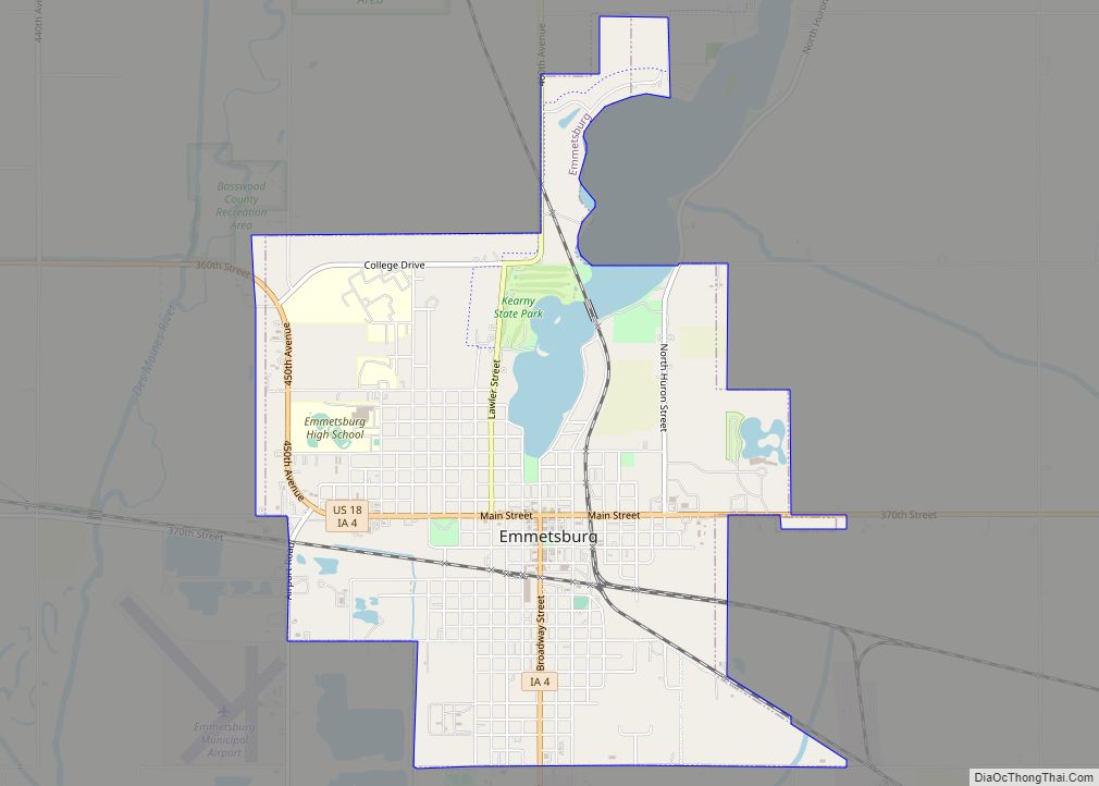
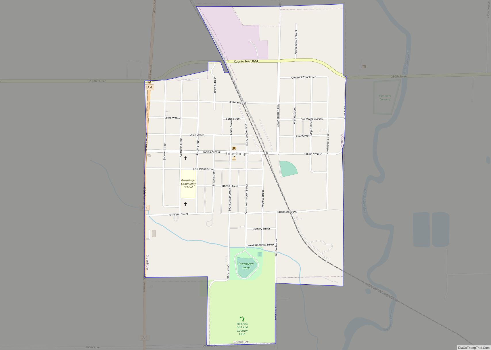
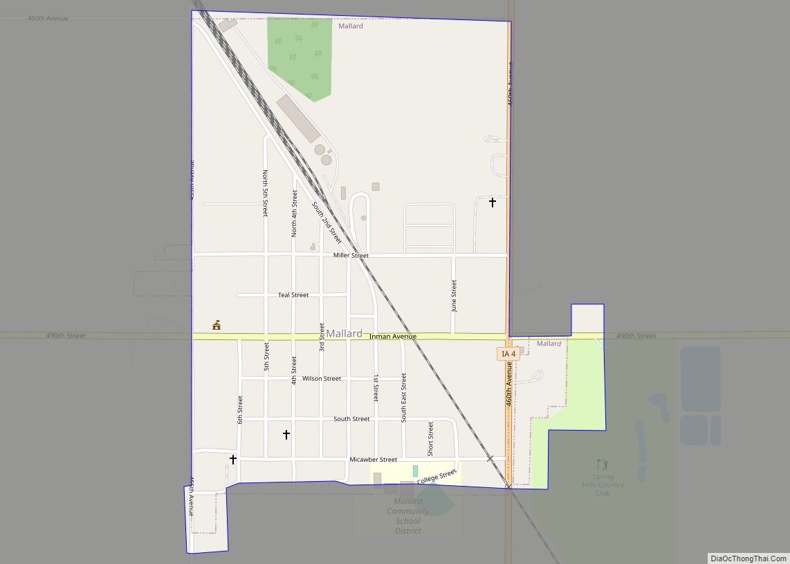
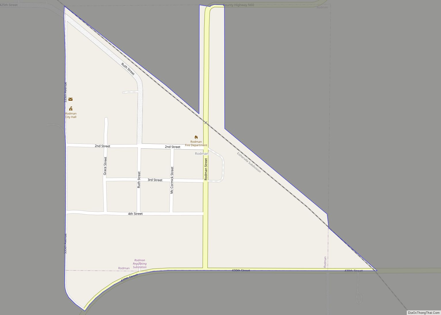
Online Interactive Map
Click on ![]() to view map in "full screen" mode.
to view map in "full screen" mode.
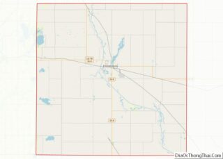
Cylinder location map. Where is Cylinder city?
History
The town began in 1885 with the construction of a large hay barn, and soon after a railway siding was built to load the hay. In 1890 a railway depot was constructed, and the town was incorporated in 1900.
The original railway depot was named after nearby Cylinder Creek, which may have received its name after early settlers dropped an engine into the mud and never recovered it.
Professional wrestler Danny Havoc was born in Cylinder, and started wrestling in his family’s barn with friends after school.
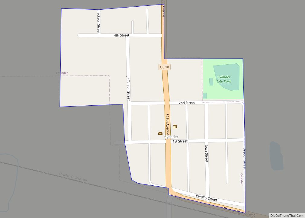
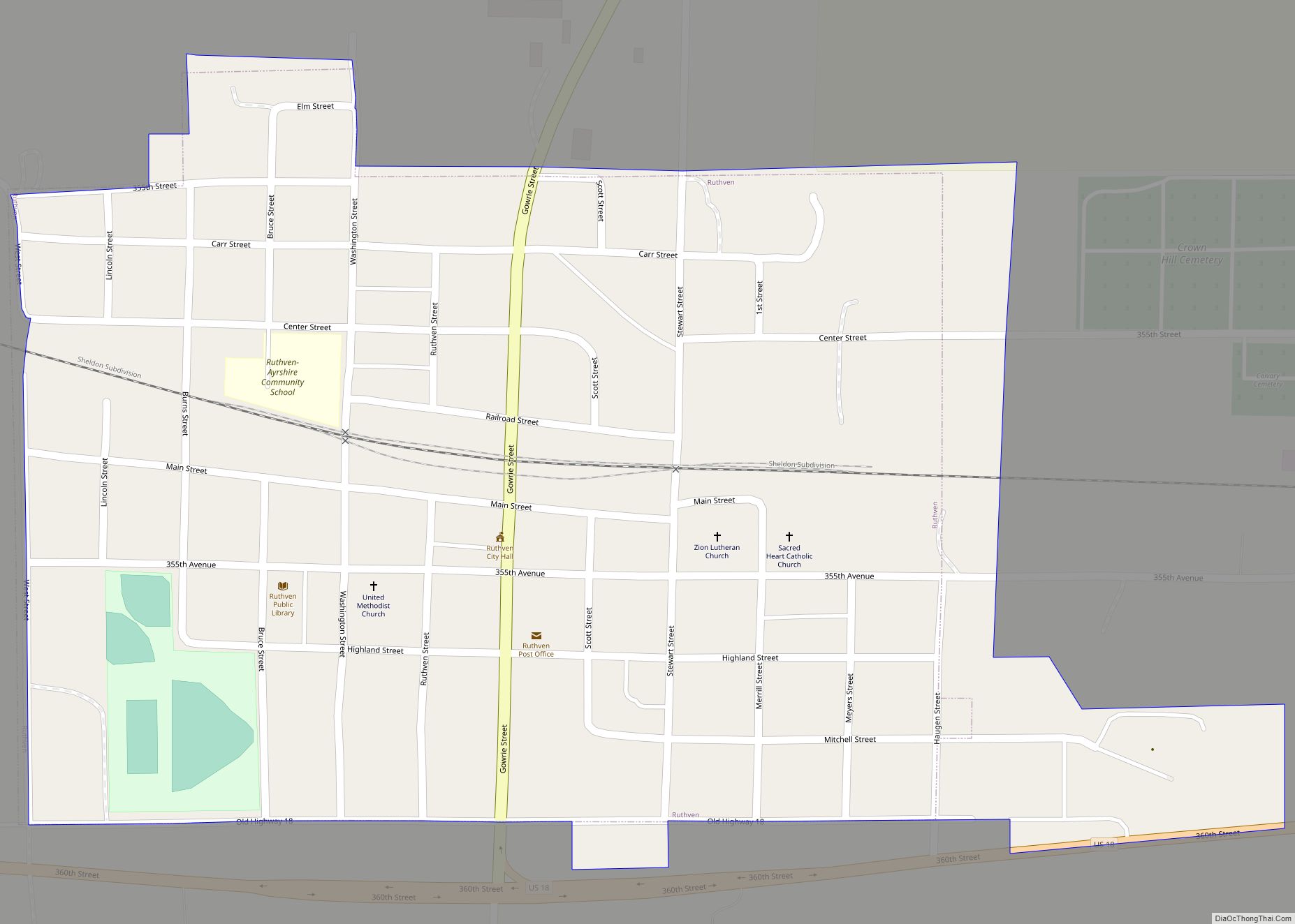
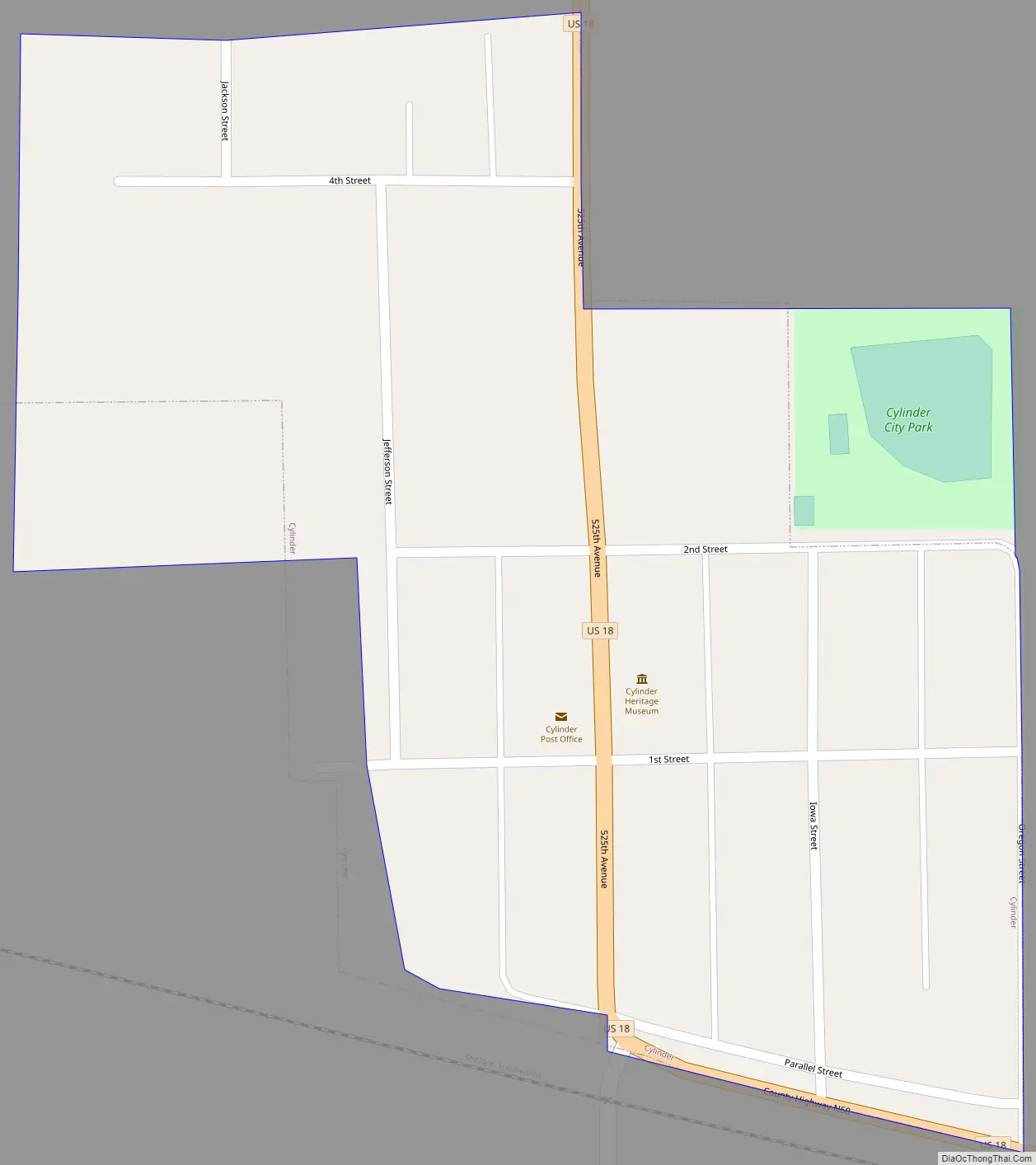
Cylinder Road Map
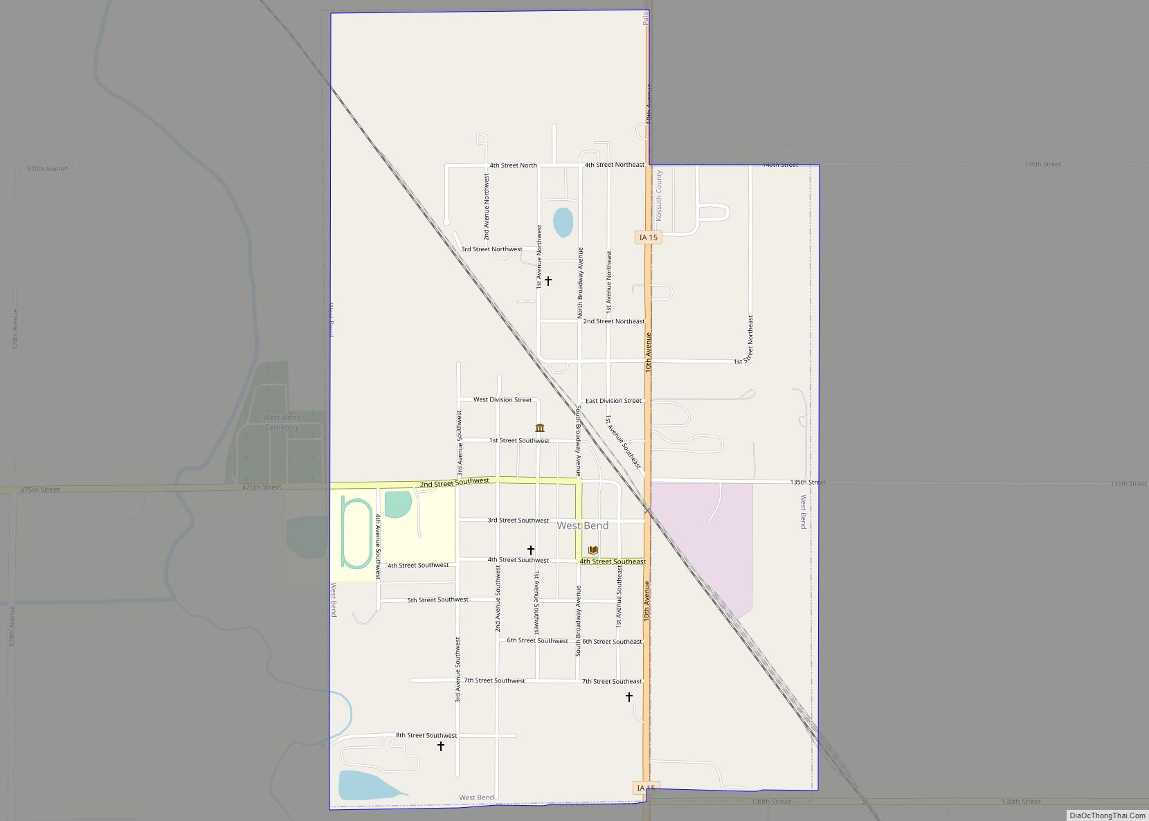
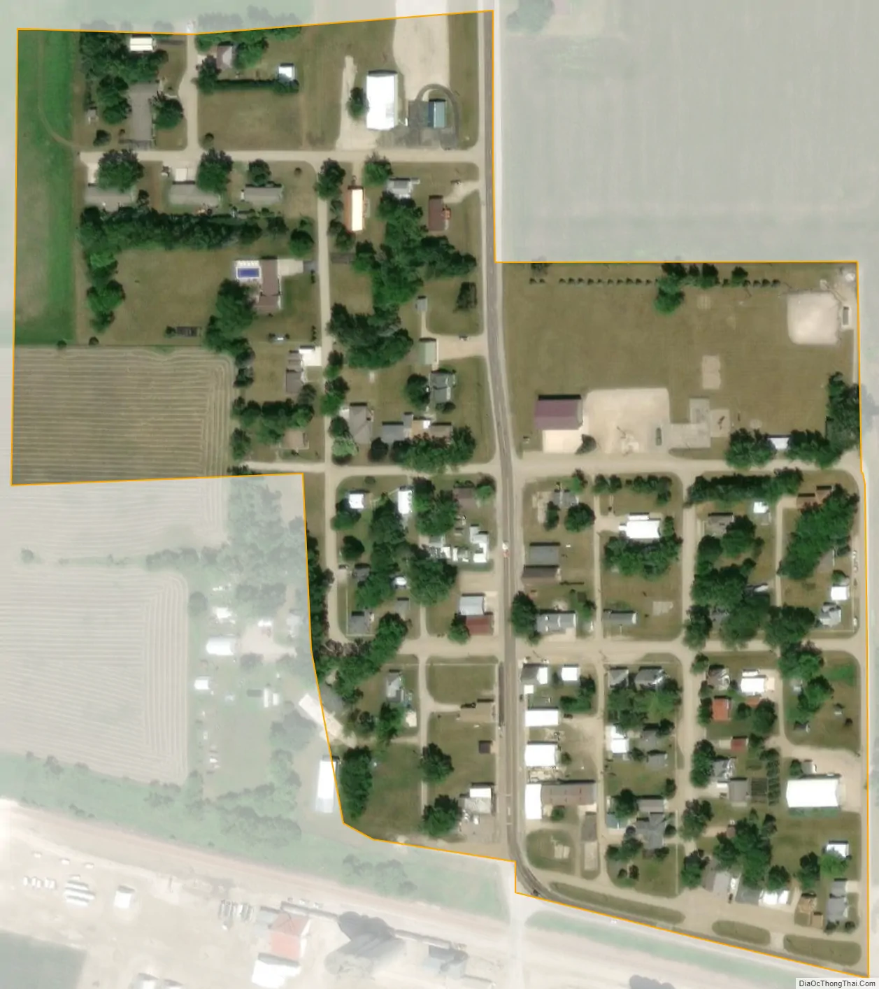
Cylinder city Satellite Map
Geography
Cylinder is located at 43°05′21″N 94°33′00″W / 43.089159°N 94.550092°W / 43.089159; -94.550092 (43.089159, -94.550092).
According to the United States Census Bureau, the city has a total area of 0.07 square miles (0.18 km), all land.
See also
Map of Iowa State and its subdivision:- Adair
- Adams
- Allamakee
- Appanoose
- Audubon
- Benton
- Black Hawk
- Boone
- Bremer
- Buchanan
- Buena Vista
- Butler
- Calhoun
- Carroll
- Cass
- Cedar
- Cerro Gordo
- Cherokee
- Chickasaw
- Clarke
- Clay
- Clayton
- Clinton
- Crawford
- Dallas
- Davis
- Decatur
- Delaware
- Des Moines
- Dickinson
- Dubuque
- Emmet
- Fayette
- Floyd
- Franklin
- Fremont
- Greene
- Grundy
- Guthrie
- Hamilton
- Hancock
- Hardin
- Harrison
- Henry
- Howard
- Humboldt
- Ida
- Iowa
- Jackson
- Jasper
- Jefferson
- Johnson
- Jones
- Keokuk
- Kossuth
- Lee
- Linn
- Louisa
- Lucas
- Lyon
- Madison
- Mahaska
- Marion
- Marshall
- Mills
- Mitchell
- Monona
- Monroe
- Montgomery
- Muscatine
- O'Brien
- Osceola
- Page
- Palo Alto
- Plymouth
- Pocahontas
- Polk
- Pottawattamie
- Poweshiek
- Ringgold
- Sac
- Scott
- Shelby
- Sioux
- Story
- Tama
- Taylor
- Union
- Van Buren
- Wapello
- Warren
- Washington
- Wayne
- Webster
- Winnebago
- Winneshiek
- Woodbury
- Worth
- Wright
- Alabama
- Alaska
- Arizona
- Arkansas
- California
- Colorado
- Connecticut
- Delaware
- District of Columbia
- Florida
- Georgia
- Hawaii
- Idaho
- Illinois
- Indiana
- Iowa
- Kansas
- Kentucky
- Louisiana
- Maine
- Maryland
- Massachusetts
- Michigan
- Minnesota
- Mississippi
- Missouri
- Montana
- Nebraska
- Nevada
- New Hampshire
- New Jersey
- New Mexico
- New York
- North Carolina
- North Dakota
- Ohio
- Oklahoma
- Oregon
- Pennsylvania
- Rhode Island
- South Carolina
- South Dakota
- Tennessee
- Texas
- Utah
- Vermont
- Virginia
- Washington
- West Virginia
- Wisconsin
- Wyoming