Fredonia is a city in Louisa County, Iowa, United States. The population was 222 at the time of the 2020 census. It is part of the Muscatine Micropolitan Statistical Area.
| Name: | Fredonia city |
|---|---|
| LSAD Code: | 25 |
| LSAD Description: | city (suffix) |
| State: | Iowa |
| County: | Louisa County |
| Elevation: | 594 ft (181 m) |
| Total Area: | 0.15 sq mi (0.39 km²) |
| Land Area: | 0.15 sq mi (0.39 km²) |
| Water Area: | 0.00 sq mi (0.00 km²) |
| Total Population: | 222 |
| Population Density: | 1,470.20/sq mi (569.34/km²) |
| ZIP code: | 52738 |
| Area code: | 319 |
| FIPS code: | 1929055 |
| GNISfeature ID: | 0456753 |
Online Interactive Map
Click on ![]() to view map in "full screen" mode.
to view map in "full screen" mode.
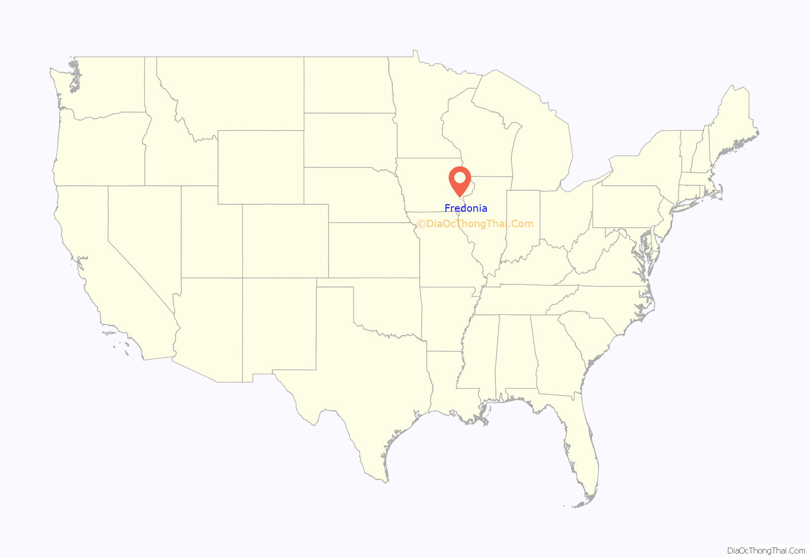
Fredonia location map. Where is Fredonia city?
History
Fredonia was laid out in 1836, by Alvin Clark, who had a squatters claim on the land and was surveyed by John Gilliland. It is located on the east side of the Iowa River, immediately below the junction of the Iowa and Cedar rivers. It is a part of section 20, township 75, range 4 west. It is said Alvin Clark and his brother Gibbs were the first settlers in Fredonia. As such it is one of the oldest continuously-incorporated towns in Iowa. It is sometimes claimed that Fredonia came near being the capital of Iowa and only lost by 1 vote. This however, was not a truly serious consideration in the House of Representatives, as many other names were being brought up at the time.
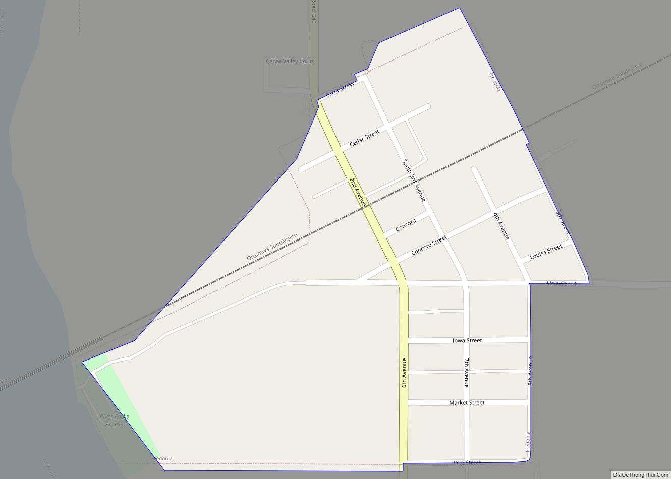
Fredonia Road Map
Fredonia city Satellite Map
Geography
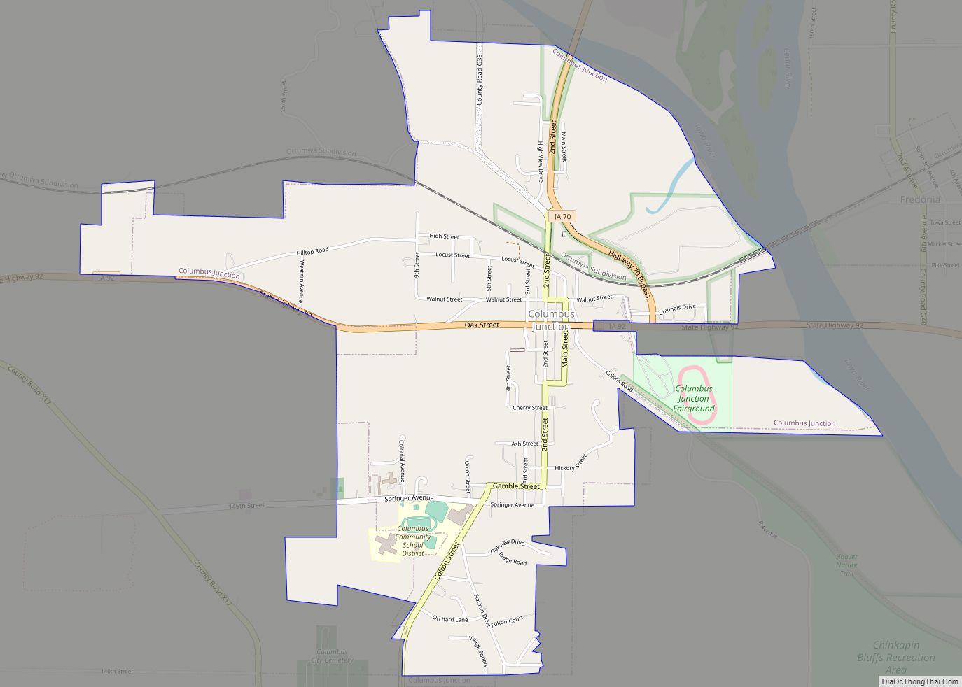
Fredonia is located just east of the confluence of the Iowa River and the Cedar River. The community of Columbus Junction lies to the southwest across the Iowa River.
According to the United States Census Bureau, the city has a total area of 0.17 square miles (0.44 km), all land.
See also
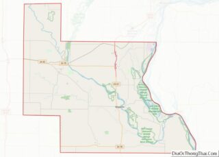
Map of Iowa State and its subdivision:- Adair
- Adams
- Allamakee
- Appanoose
- Audubon
- Benton
- Black Hawk
- Boone
- Bremer
- Buchanan
- Buena Vista
- Butler
- Calhoun
- Carroll
- Cass
- Cedar
- Cerro Gordo
- Cherokee
- Chickasaw
- Clarke
- Clay
- Clayton
- Clinton
- Crawford
- Dallas
- Davis
- Decatur
- Delaware
- Des Moines
- Dickinson
- Dubuque
- Emmet
- Fayette
- Floyd
- Franklin
- Fremont
- Greene
- Grundy
- Guthrie
- Hamilton
- Hancock
- Hardin
- Harrison
- Henry
- Howard
- Humboldt
- Ida
- Iowa
- Jackson
- Jasper
- Jefferson
- Johnson
- Jones
- Keokuk
- Kossuth
- Lee
- Linn
- Louisa
- Lucas
- Lyon
- Madison
- Mahaska
- Marion
- Marshall
- Mills
- Mitchell
- Monona
- Monroe
- Montgomery
- Muscatine
- O'Brien
- Osceola
- Page
- Palo Alto
- Plymouth
- Pocahontas
- Polk
- Pottawattamie
- Poweshiek
- Ringgold
- Sac
- Scott
- Shelby
- Sioux
- Story
- Tama
- Taylor
- Union
- Van Buren
- Wapello
- Warren
- Washington
- Wayne
- Webster
- Winnebago
- Winneshiek
- Woodbury
- Worth
- Wright
- Alabama
- Alaska
- Arizona
- Arkansas
- California
- Colorado
- Connecticut
- Delaware
- District of Columbia
- Florida
- Georgia
- Hawaii
- Idaho
- Illinois
- Indiana
- Iowa
- Kansas
- Kentucky
- Louisiana
- Maine
- Maryland
- Massachusetts
- Michigan
- Minnesota
- Mississippi
- Missouri
- Montana
- Nebraska
- Nevada
- New Hampshire
- New Jersey
- New Mexico
- New York
- North Carolina
- North Dakota
- Ohio
- Oklahoma
- Oregon
- Pennsylvania
- Rhode Island
- South Carolina
- South Dakota
- Tennessee
- Texas
- Utah
- Vermont
- Virginia
- Washington
- West Virginia
- Wisconsin
- Wyoming
