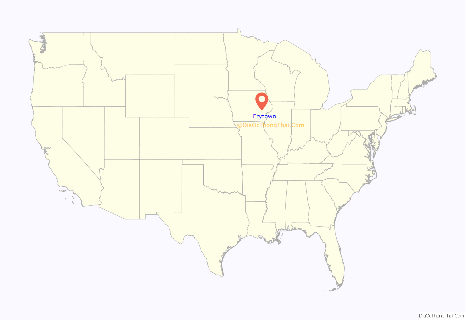
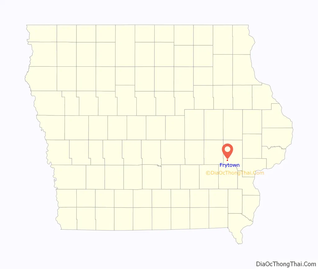
Frytown is an unincorporated community and census-designated place in Johnson County, Iowa, United States, approximately 10 miles southwest of Iowa City. The town has been known as Frytown since the 19th century, and is listed as such on state maps; the USGS once called it Williamstown, though it has since changed the name.
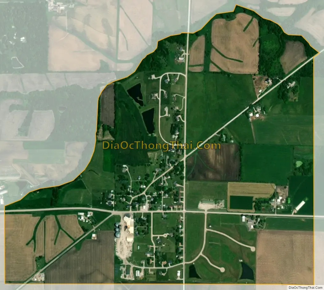
Frytown Conservation Area, a woodlands park belonging to Johnson County, is located about one mile northeast of Frytown.
| Name: | Frytown CDP |
|---|---|
| LSAD Code: | 57 |
| LSAD Description: | CDP (suffix) |
| State: | Iowa |
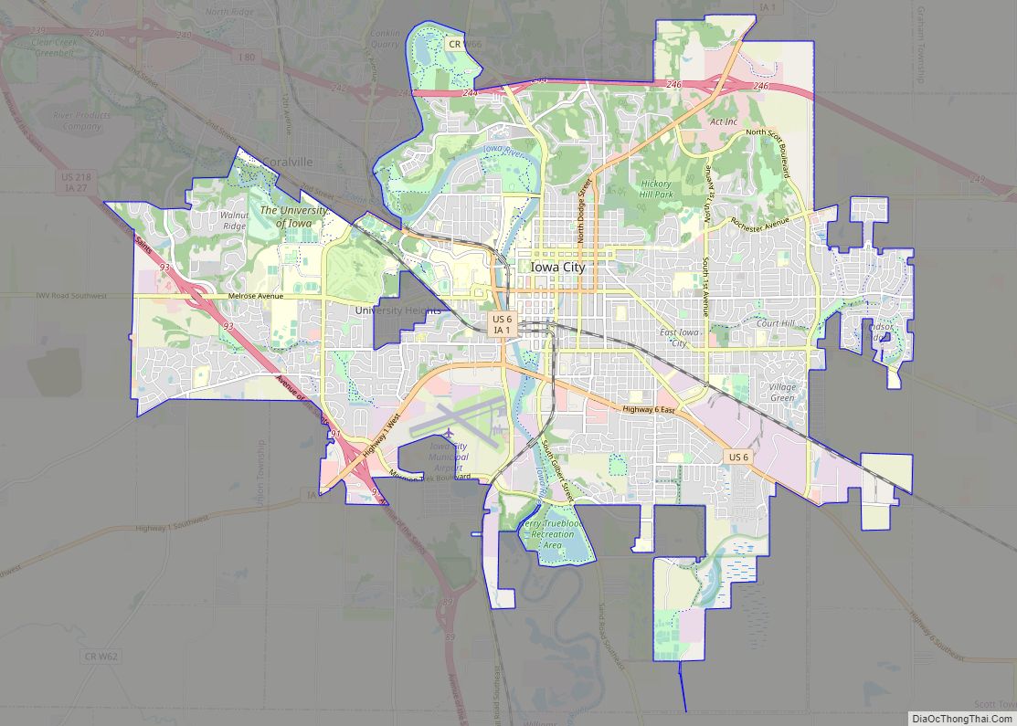
| County: | Johnson County |
| Elevation: | 801 ft (244 m) |
| Total Area: | 0.81 sq mi (2.10 km²) |
| Land Area: | 0.81 sq mi (2.10 km²) |
| Water Area: | 0.00 sq mi (0.00 km²) |
| Total Population: | 193 |
| Population Density: | 238.27/sq mi (91.98/km²) |
| Area code: | 319 |
| FIPS code: | 1929325 |
| GNISfeature ID: | 463065 |
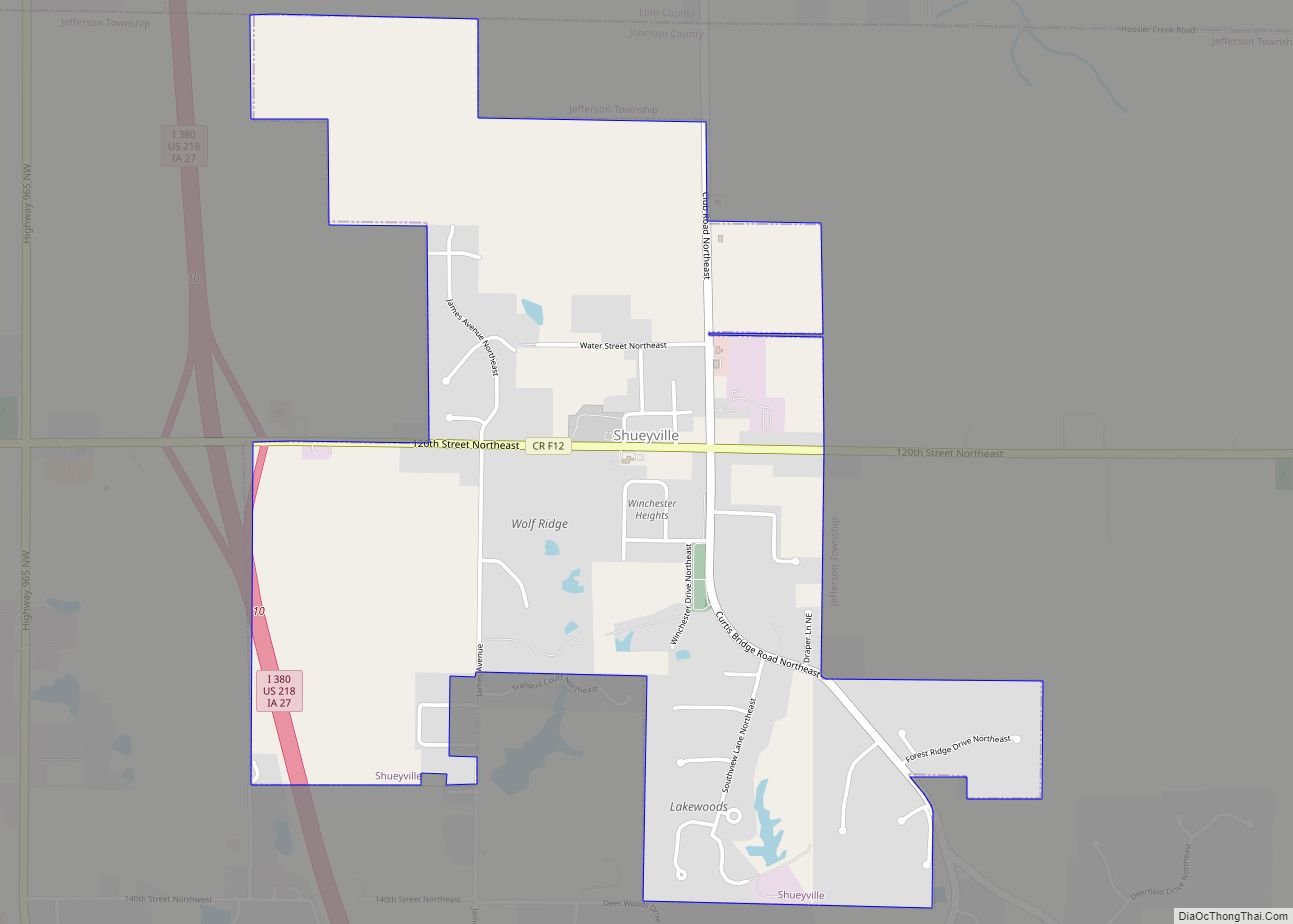
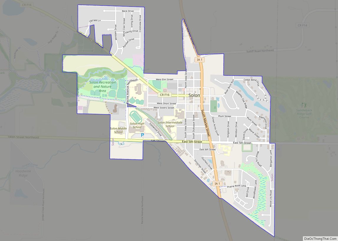
Online Interactive Map
Click on ![]() to view map in "full screen" mode.
to view map in "full screen" mode.
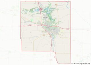
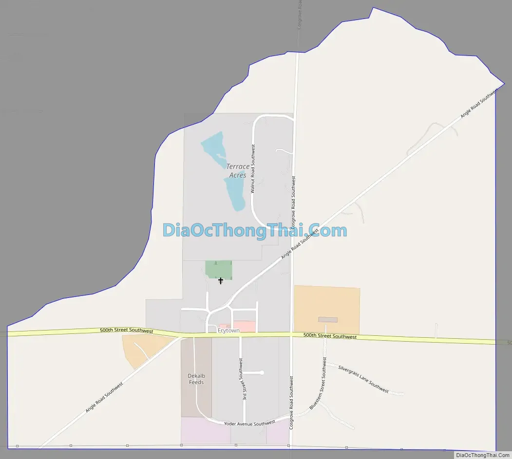
Frytown location map. Where is Frytown CDP?
History
The cemetery on the east end of town has markers for the original Fry family, who were immigrants to the area, including Samuel Preston Fry (and wife Fionna Melinda Grosscup) and his father, Titus R Fry (wife, Jane Preston).Jacob Fry 1785–1842. Yoder is the other prominent name in the Church of Christ graveyard.
The population of Frytown/Williamstown was 35 in 1925.
As of the 2010 Census, the population of Frytown was 165.
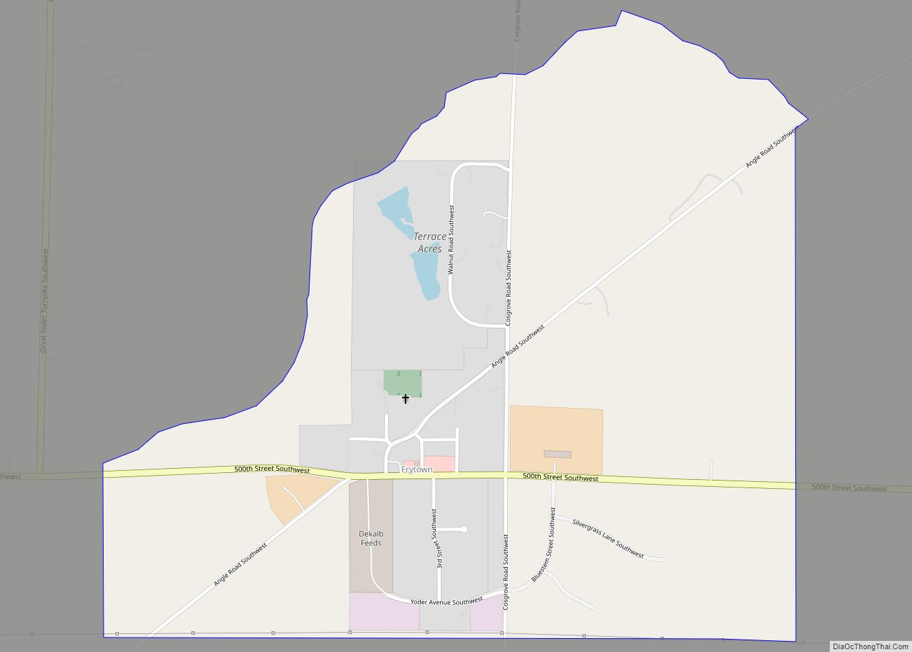
Frytown Road Map
Frytown city Satellite Map
See also
Map of Iowa State and its subdivision:- Adair
- Adams
- Allamakee
- Appanoose
- Audubon
- Benton
- Black Hawk
- Boone
- Bremer
- Buchanan
- Buena Vista
- Butler
- Calhoun
- Carroll
- Cass
- Cedar
- Cerro Gordo
- Cherokee
- Chickasaw
- Clarke
- Clay
- Clayton
- Clinton
- Crawford
- Dallas
- Davis
- Decatur
- Delaware
- Des Moines
- Dickinson
- Dubuque
- Emmet
- Fayette
- Floyd
- Franklin
- Fremont
- Greene
- Grundy
- Guthrie
- Hamilton
- Hancock
- Hardin
- Harrison
- Henry
- Howard
- Humboldt
- Ida
- Iowa
- Jackson
- Jasper
- Jefferson
- Johnson
- Jones
- Keokuk
- Kossuth
- Lee
- Linn
- Louisa
- Lucas
- Lyon
- Madison
- Mahaska
- Marion
- Marshall
- Mills
- Mitchell
- Monona
- Monroe
- Montgomery
- Muscatine
- O'Brien
- Osceola
- Page
- Palo Alto
- Plymouth
- Pocahontas
- Polk
- Pottawattamie
- Poweshiek
- Ringgold
- Sac
- Scott
- Shelby
- Sioux
- Story
- Tama
- Taylor
- Union
- Van Buren
- Wapello
- Warren
- Washington
- Wayne
- Webster
- Winnebago
- Winneshiek
- Woodbury
- Worth
- Wright
- Alabama
- Alaska
- Arizona
- Arkansas
- California
- Colorado
- Connecticut
- Delaware
- District of Columbia
- Florida
- Georgia
- Hawaii
- Idaho
- Illinois
- Indiana
- Iowa
- Kansas
- Kentucky
- Louisiana
- Maine
- Maryland
- Massachusetts
- Michigan
- Minnesota
- Mississippi
- Missouri
- Montana
- Nebraska
- Nevada
- New Hampshire
- New Jersey
- New Mexico
- New York
- North Carolina
- North Dakota
- Ohio
- Oklahoma
- Oregon
- Pennsylvania
- Rhode Island
- South Carolina
- South Dakota
- Tennessee
- Texas
- Utah
- Vermont
- Virginia
- Washington
- West Virginia
- Wisconsin
- Wyoming