Green Mountain is a rural unincorporated community and census-designated place (CDP) in Marshall County, Iowa, United States. It is located in Marion Township. As of the 2020 census the population of Green Mountain was 113.
| Name: | Green Mountain CDP |
|---|---|
| LSAD Code: | 57 |
| LSAD Description: | CDP (suffix) |
| State: | Iowa |
| County: | Marshall County |
| Elevation: | 991 ft (302 m) |
| Total Area: | 0.69 sq mi (1.78 km²) |
| Land Area: | 0.69 sq mi (1.78 km²) |
| Water Area: | 0.00 sq mi (0.00 km²) |
| Total Population: | 113 |
| Population Density: | 164.72/sq mi (63.62/km²) |
| ZIP code: | 50632 |
| Area code: | 641 |
| FIPS code: | 1932925 |
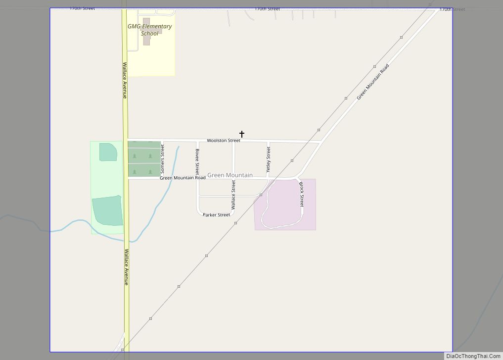
Online Interactive Map
Click on ![]() to view map in "full screen" mode.
to view map in "full screen" mode.
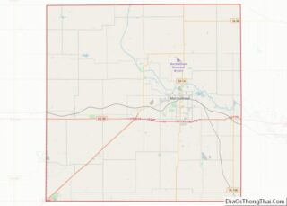
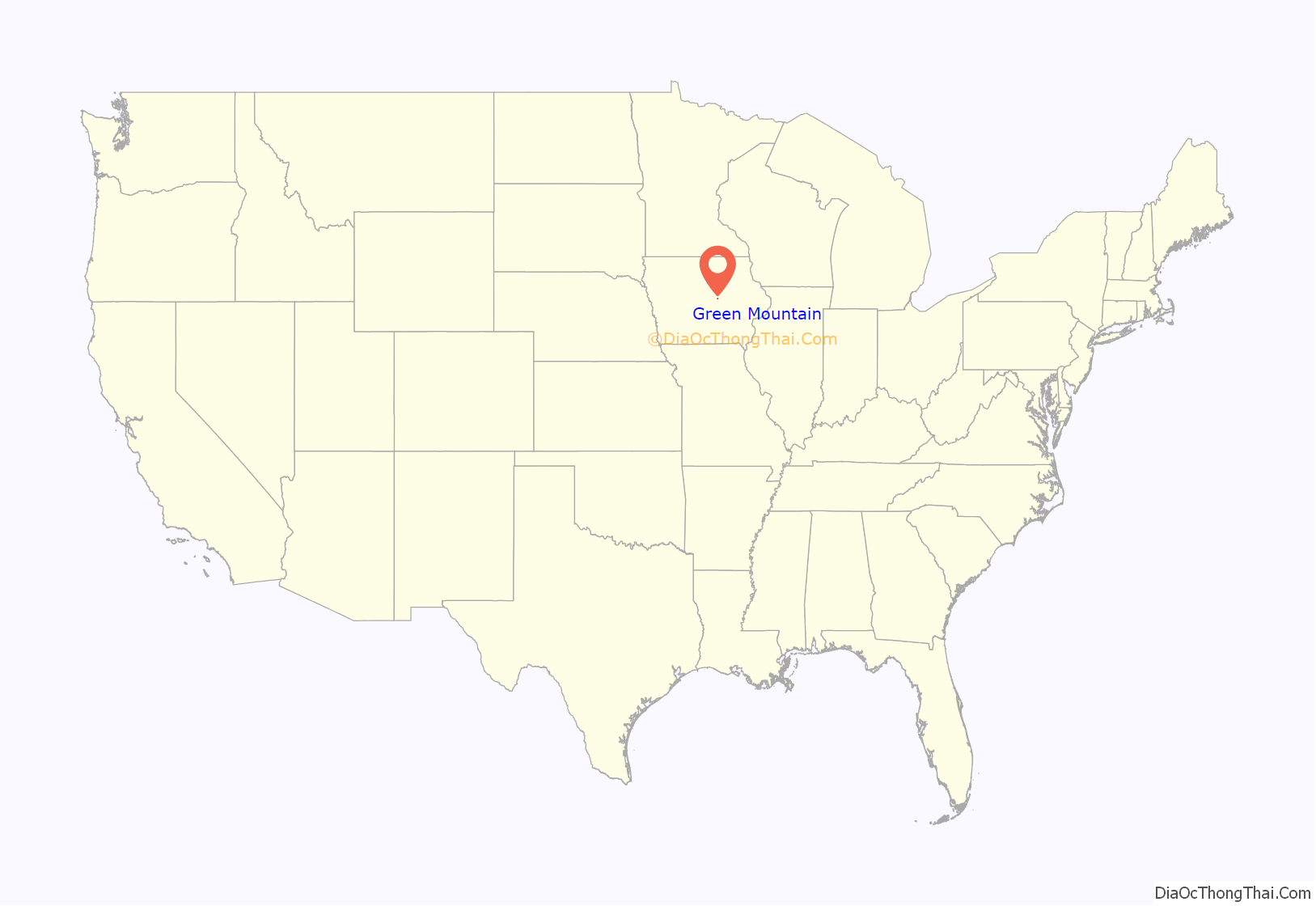
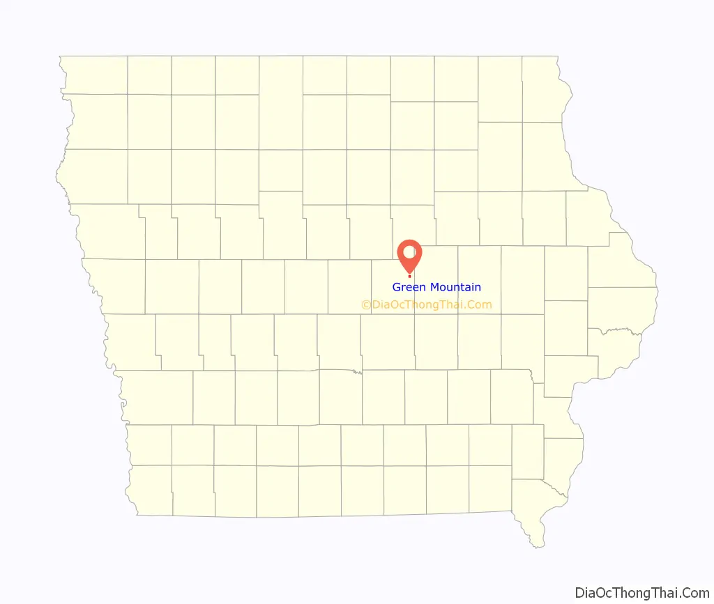
Green Mountain location map. Where is Green Mountain CDP?
History
As early as 1856, a few settlers from Vermont settled about a mile north of the present-day community; they named their community after their home in Vermont. The present-day town of Green Mountain, south of the original townsite, was established in 1883, platted by the Iowa Construction Company. The town was built adjacent to the Chicago Great Western Railroad.
The Green Mountain Congregational Church, one of the first in the county, was built in Green Mountain, along with a grain elevator and a few businesses; a savings bank was constructed in 1907. The population of the community was 41 in 1902.
Green Mountain, Iowa, was the site of the Green Mountain train wreck. The wreck is known as the worst ever in Iowa history, as 52 people were killed in the accident on March 21, 1910.
In 1925, Green Mountain’s population was 106.
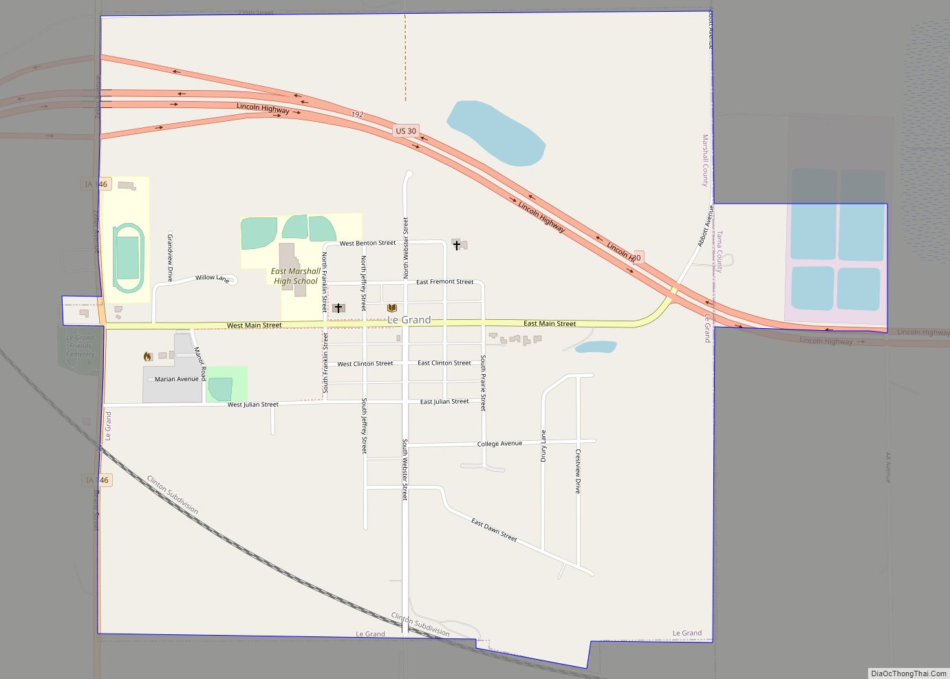
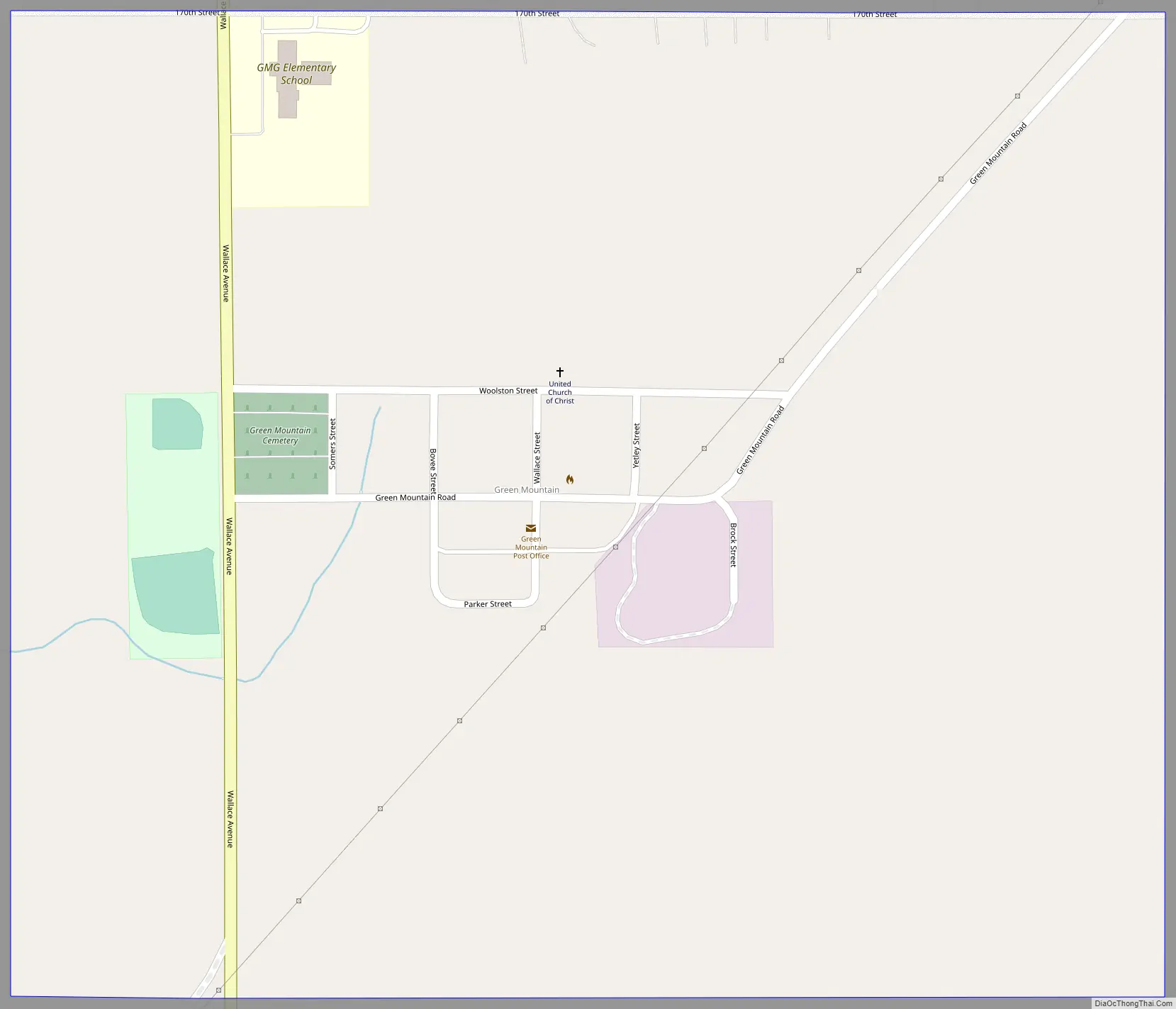
Green Mountain Road Map
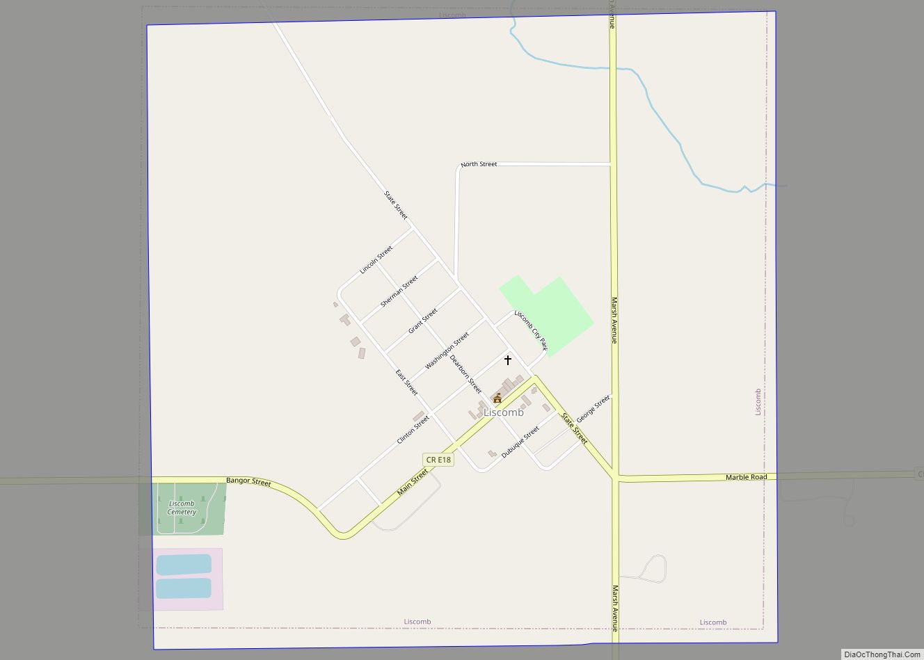
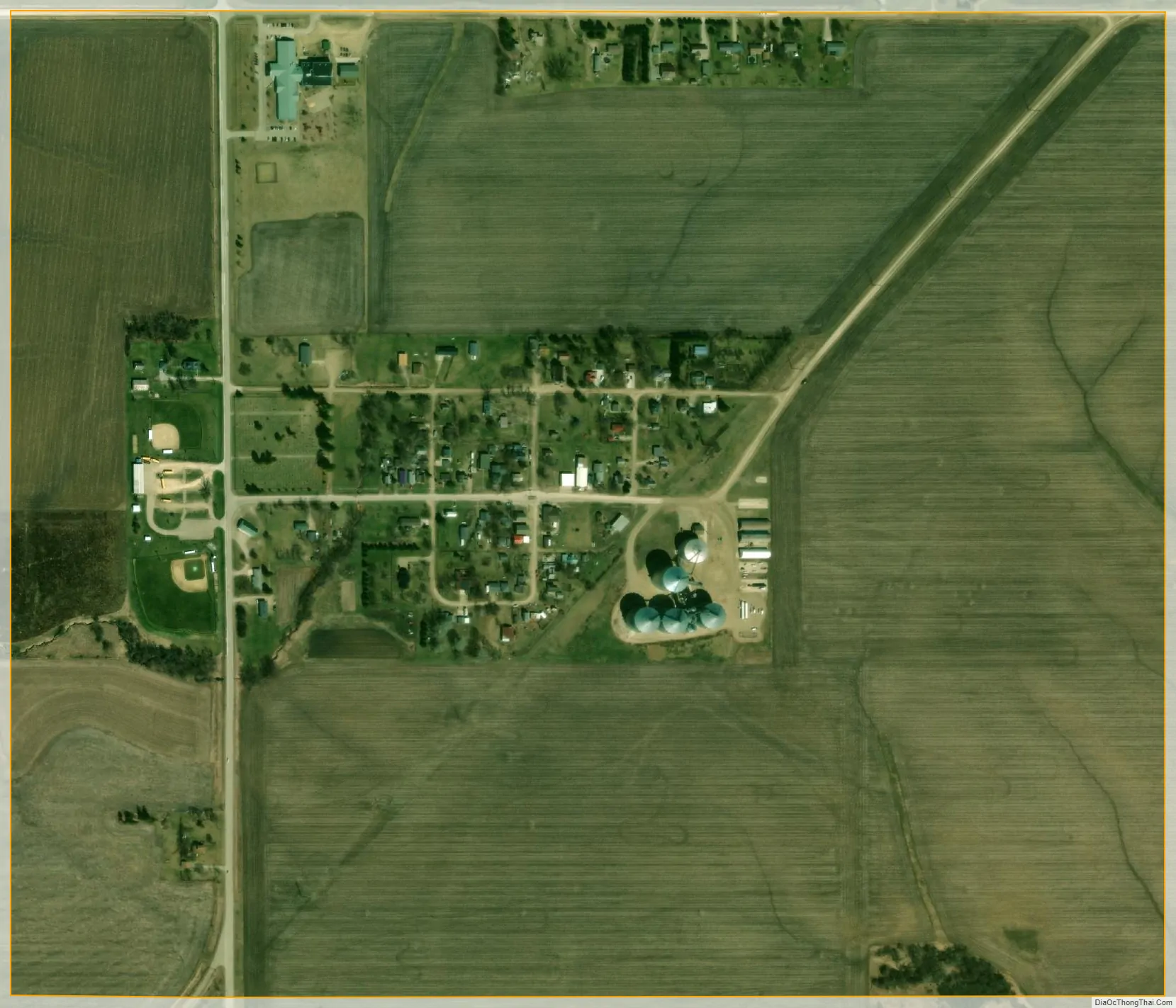
Green Mountain city Satellite Map
Geography
Green Mountain is in northeastern Marshall County, 7 miles (11 km) northeast of Marshalltown, the county seat. According to the U.S. Census Bureau, the Green Mountain CDP has an area of 0.69 square miles (1.79 km), all land. The headwaters of Nickolson Creek run through the west side of the community, flowing south to join Rock Creek, which in turn joins the Iowa River east of Marshalltown.
See also
Map of Iowa State and its subdivision:- Adair
- Adams
- Allamakee
- Appanoose
- Audubon
- Benton
- Black Hawk
- Boone
- Bremer
- Buchanan
- Buena Vista
- Butler
- Calhoun
- Carroll
- Cass
- Cedar
- Cerro Gordo
- Cherokee
- Chickasaw
- Clarke
- Clay
- Clayton
- Clinton
- Crawford
- Dallas
- Davis
- Decatur
- Delaware
- Des Moines
- Dickinson
- Dubuque
- Emmet
- Fayette
- Floyd
- Franklin
- Fremont
- Greene
- Grundy
- Guthrie
- Hamilton
- Hancock
- Hardin
- Harrison
- Henry
- Howard
- Humboldt
- Ida
- Iowa
- Jackson
- Jasper
- Jefferson
- Johnson
- Jones
- Keokuk
- Kossuth
- Lee
- Linn
- Louisa
- Lucas
- Lyon
- Madison
- Mahaska
- Marion
- Marshall
- Mills
- Mitchell
- Monona
- Monroe
- Montgomery
- Muscatine
- O'Brien
- Osceola
- Page
- Palo Alto
- Plymouth
- Pocahontas
- Polk
- Pottawattamie
- Poweshiek
- Ringgold
- Sac
- Scott
- Shelby
- Sioux
- Story
- Tama
- Taylor
- Union
- Van Buren
- Wapello
- Warren
- Washington
- Wayne
- Webster
- Winnebago
- Winneshiek
- Woodbury
- Worth
- Wright
- Alabama
- Alaska
- Arizona
- Arkansas
- California
- Colorado
- Connecticut
- Delaware
- District of Columbia
- Florida
- Georgia
- Hawaii
- Idaho
- Illinois
- Indiana
- Iowa
- Kansas
- Kentucky
- Louisiana
- Maine
- Maryland
- Massachusetts
- Michigan
- Minnesota
- Mississippi
- Missouri
- Montana
- Nebraska
- Nevada
- New Hampshire
- New Jersey
- New Mexico
- New York
- North Carolina
- North Dakota
- Ohio
- Oklahoma
- Oregon
- Pennsylvania
- Rhode Island
- South Carolina
- South Dakota
- Tennessee
- Texas
- Utah
- Vermont
- Virginia
- Washington
- West Virginia
- Wisconsin
- Wyoming