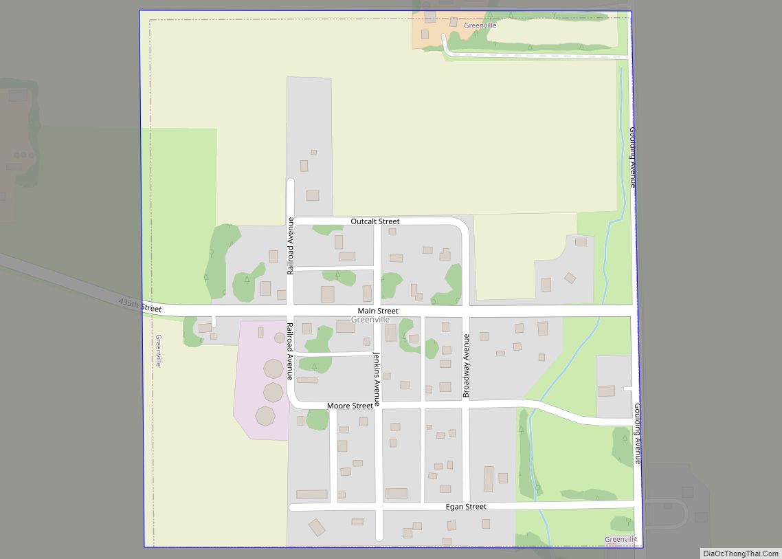
Greenville is a city in Clay County, Iowa, United States. The population was 71 in the 2020 census, a decline from 93 in 2000.
| Name: | Greenville city |
|---|---|
| LSAD Code: | 25 |
| LSAD Description: | city (suffix) |
| State: | Iowa |
| County: | Clay County |
| Elevation: | 1,391 ft (424 m) |
| Total Area: | 0.17 sq mi (0.43 km²) |
| Land Area: | 0.17 sq mi (0.43 km²) |
| Water Area: | 0.00 sq mi (0.00 km²) |
| Total Population: | 71 |
| Population Density: | 427.71/sq mi (165.34/km²) |
| ZIP code: | 51343 |
| Area code: | 712 |
| FIPS code: | 1932970 |
| GNISfeature ID: | 0465587 |
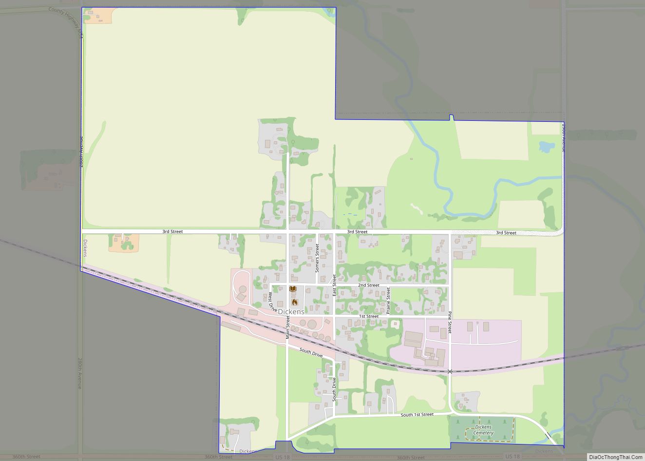
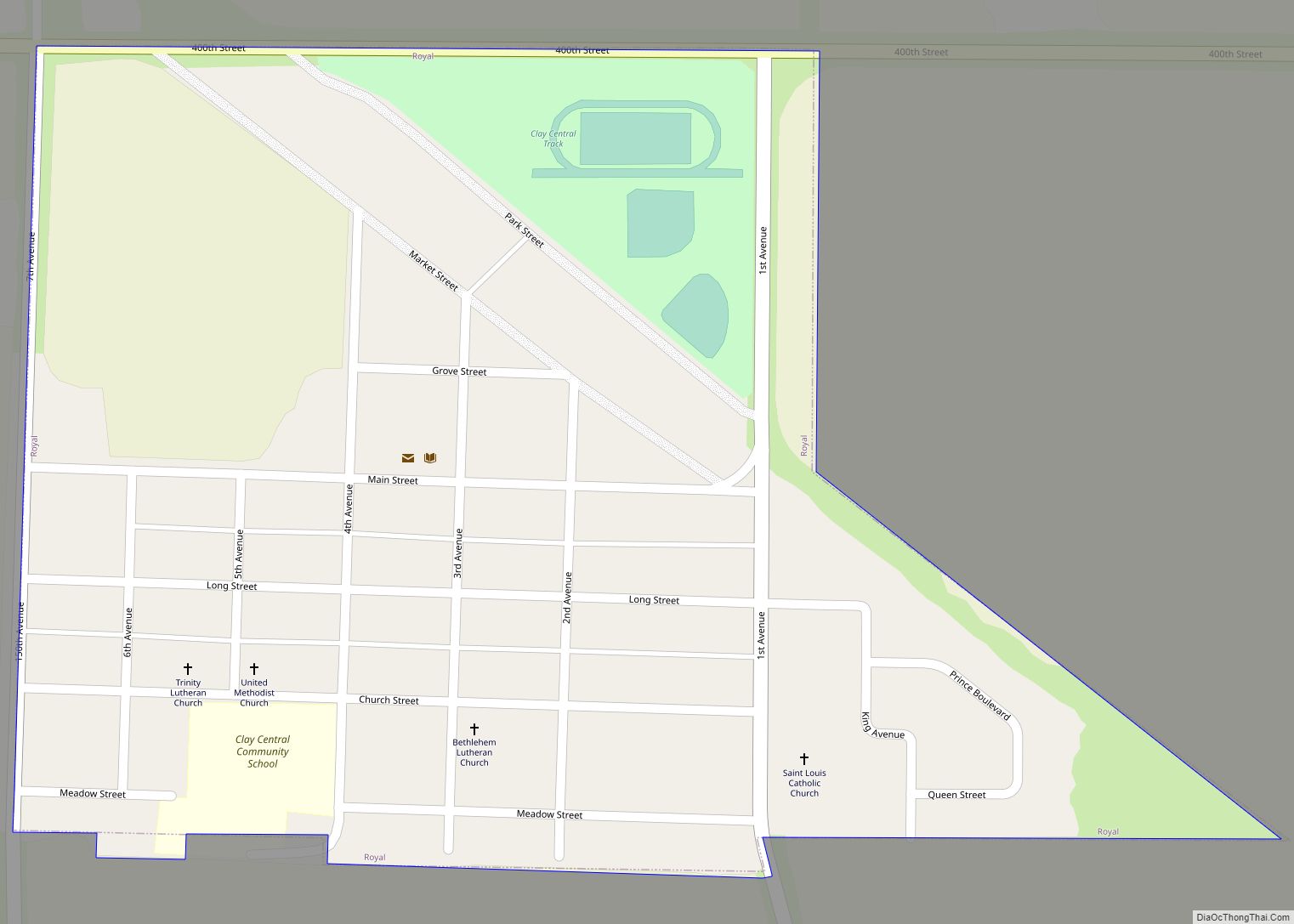
Online Interactive Map
Click on ![]() to view map in "full screen" mode.
to view map in "full screen" mode.
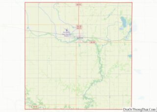
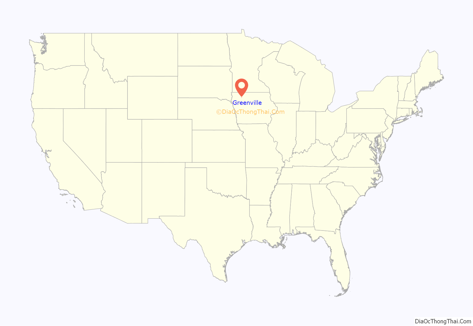
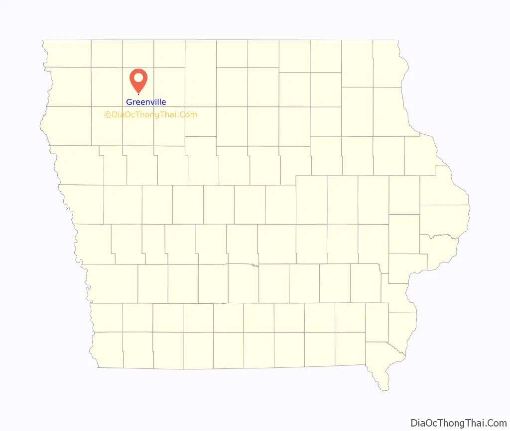
Greenville location map. Where is Greenville city?
History
The Greenville post office opened in 1871. The town was named for its first postmaster, A. W. Green.
Bank robbery of 1901
On November 16, 1901, one Mr. Brown opened the bank in Greenville and discovered that the bank had been robbed. The vault handle had been removed, explosives placed into the opening, and the vault door blown off.
Three men were seen later in Spencer, then Webb, and finally Albert City where they were cornered at the depot. A gunfight ensued, during which one of the gunmen was killed. The other two were captured and later sentenced to life terms in Fort Madison, while the dead gunman was buried in an unnamed grave in Fairfield Cemetery in Albert City.
Sixty-four empty shells were picked up in the depot after the fight.
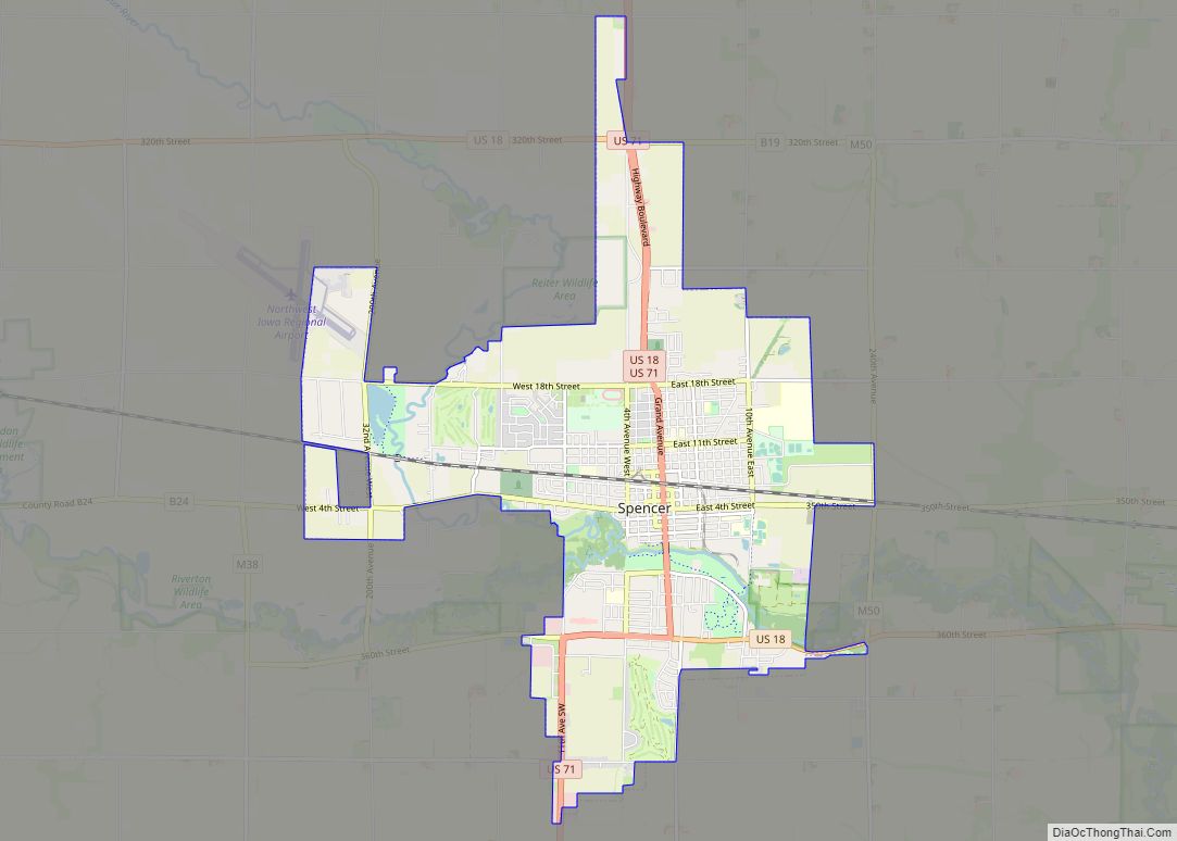
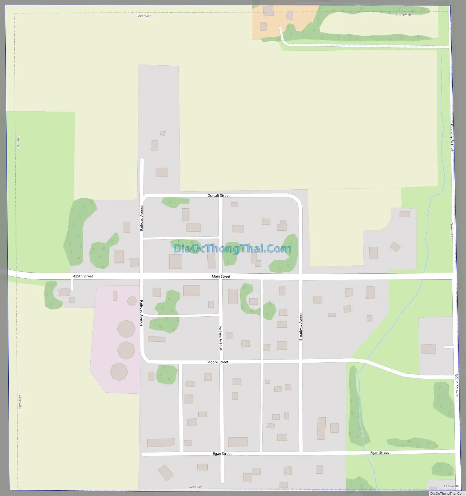
Greenville Road Map
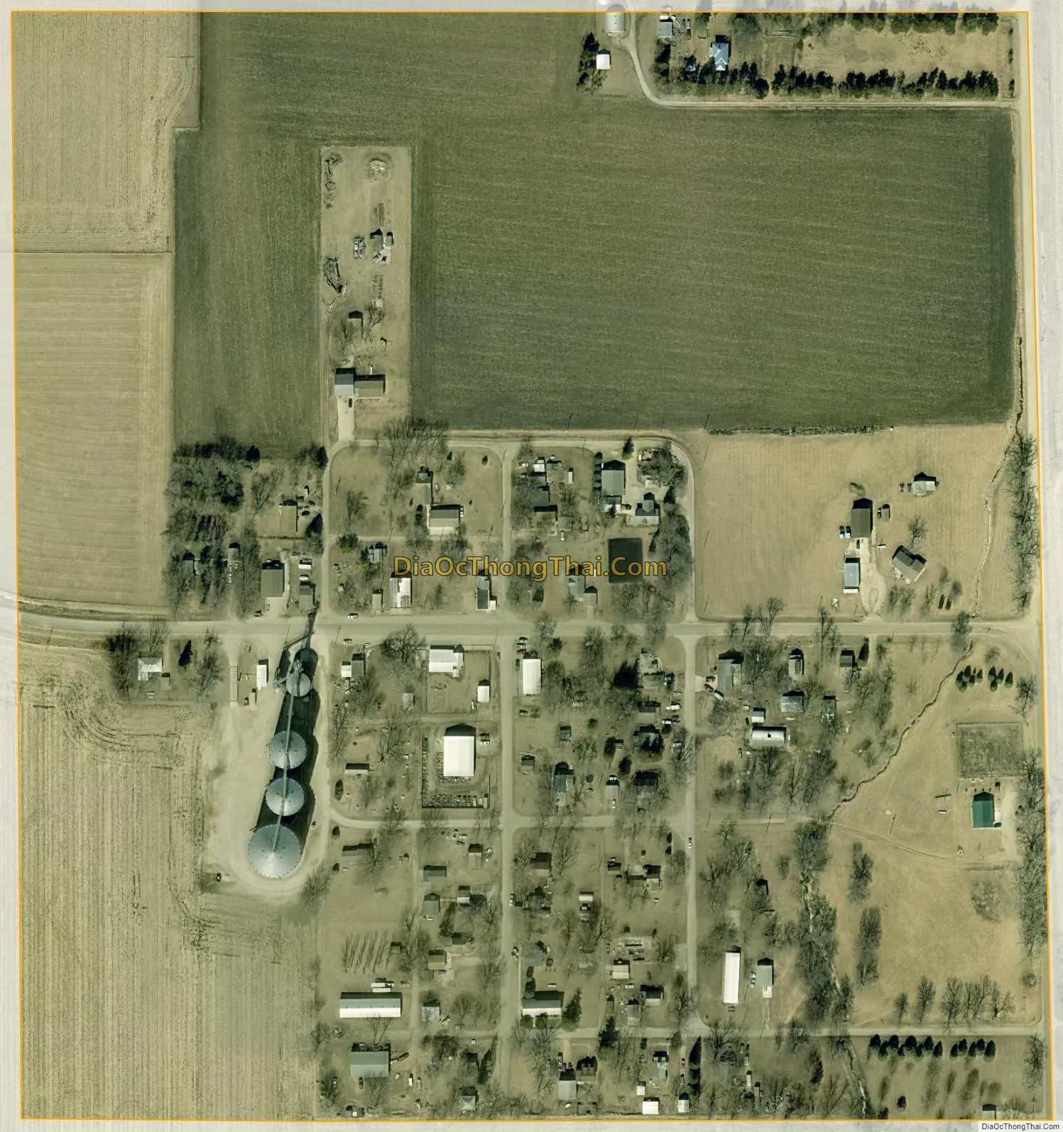
Greenville city Satellite Map
Geography
Greenville is located at 43°0′58″N 95°8′44″W / 43.01611°N 95.14556°W / 43.01611; -95.14556 (43.016091, -95.145464).
According to the United States Census Bureau, the city has a total area of 0.18 square miles (0.47 km), all land.
See also
Map of Iowa State and its subdivision:- Adair
- Adams
- Allamakee
- Appanoose
- Audubon
- Benton
- Black Hawk
- Boone
- Bremer
- Buchanan
- Buena Vista
- Butler
- Calhoun
- Carroll
- Cass
- Cedar
- Cerro Gordo
- Cherokee
- Chickasaw
- Clarke
- Clay
- Clayton
- Clinton
- Crawford
- Dallas
- Davis
- Decatur
- Delaware
- Des Moines
- Dickinson
- Dubuque
- Emmet
- Fayette
- Floyd
- Franklin
- Fremont
- Greene
- Grundy
- Guthrie
- Hamilton
- Hancock
- Hardin
- Harrison
- Henry
- Howard
- Humboldt
- Ida
- Iowa
- Jackson
- Jasper
- Jefferson
- Johnson
- Jones
- Keokuk
- Kossuth
- Lee
- Linn
- Louisa
- Lucas
- Lyon
- Madison
- Mahaska
- Marion
- Marshall
- Mills
- Mitchell
- Monona
- Monroe
- Montgomery
- Muscatine
- O'Brien
- Osceola
- Page
- Palo Alto
- Plymouth
- Pocahontas
- Polk
- Pottawattamie
- Poweshiek
- Ringgold
- Sac
- Scott
- Shelby
- Sioux
- Story
- Tama
- Taylor
- Union
- Van Buren
- Wapello
- Warren
- Washington
- Wayne
- Webster
- Winnebago
- Winneshiek
- Woodbury
- Worth
- Wright
- Alabama
- Alaska
- Arizona
- Arkansas
- California
- Colorado
- Connecticut
- Delaware
- District of Columbia
- Florida
- Georgia
- Hawaii
- Idaho
- Illinois
- Indiana
- Iowa
- Kansas
- Kentucky
- Louisiana
- Maine
- Maryland
- Massachusetts
- Michigan
- Minnesota
- Mississippi
- Missouri
- Montana
- Nebraska
- Nevada
- New Hampshire
- New Jersey
- New Mexico
- New York
- North Carolina
- North Dakota
- Ohio
- Oklahoma
- Oregon
- Pennsylvania
- Rhode Island
- South Carolina
- South Dakota
- Tennessee
- Texas
- Utah
- Vermont
- Virginia
- Washington
- West Virginia
- Wisconsin
- Wyoming