Hazleton is a city in Buchanan County, Iowa, United States. The population was 713 at the time of the 2020 census.
| Name: | Hazleton city |
|---|---|
| LSAD Code: | 25 |
| LSAD Description: | city (suffix) |
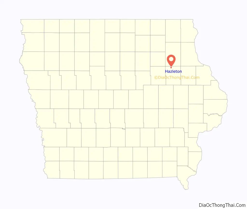
| State: | Iowa |
| County: | Buchanan County |
| Elevation: | 1,010 ft (308 m) |
| Total Area: | 0.84 sq mi (2.17 km²) |
| Land Area: | 0.80 sq mi (2.07 km²) |
| Water Area: | 0.04 sq mi (0.10 km²) |
| Total Population: | 713 |
| Population Density: | 892.37/sq mi (344.42/km²) |
| ZIP code: | 50641 |
| Area code: | 319 |
| FIPS code: | 1935580 |
| GNISfeature ID: | 0457370 |
Online Interactive Map
Click on ![]() to view map in "full screen" mode.
to view map in "full screen" mode.
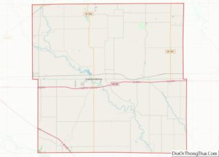
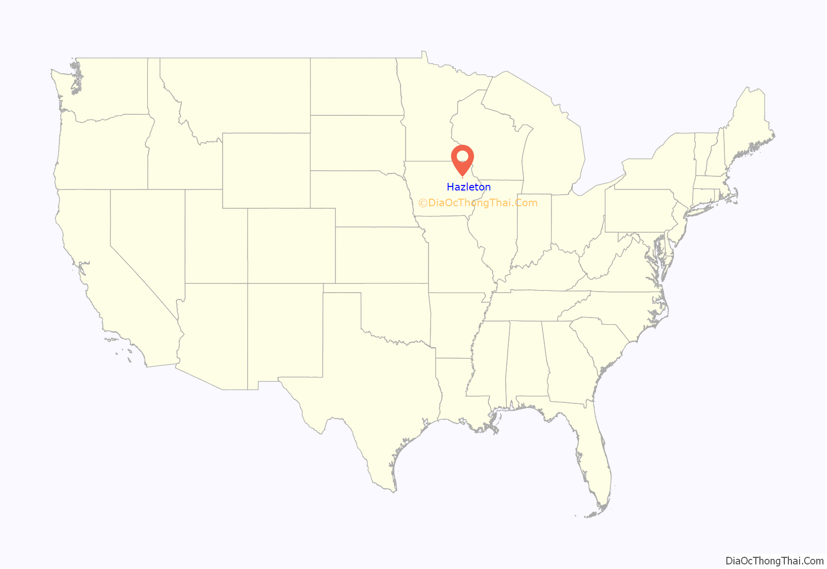
Hazleton location map. Where is Hazleton city?
History
The original town was established in 1853 when E. W. Tenney opened a store. A post office opened soon after and was named “Hazelton”, because the community was in a hazelnut grove. When the railway came, it missed the town by a mile, so the town was moved to the railway. The current site of “Hazleton” was established in 1873, and incorporated in 1883.
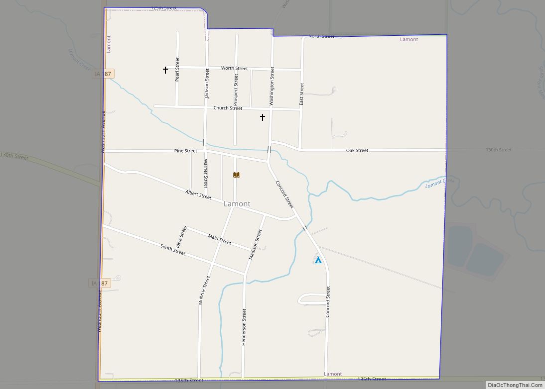
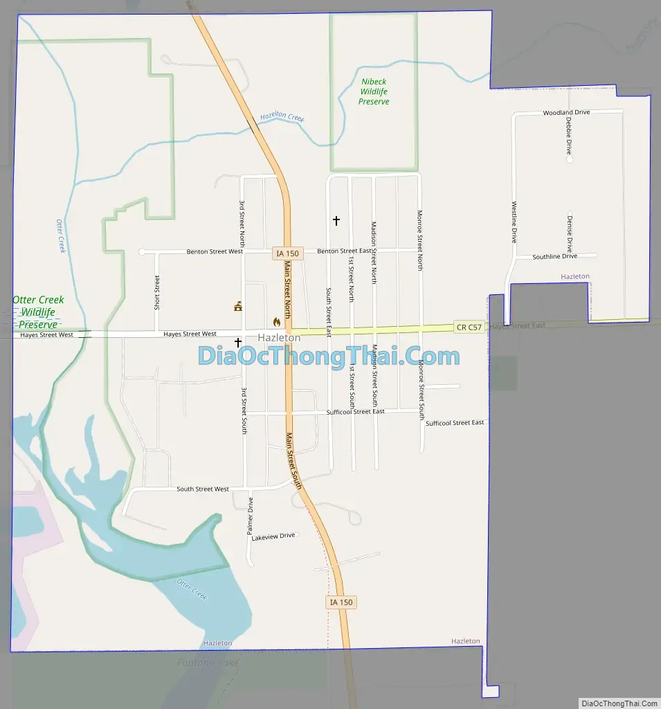
Hazleton Road Map
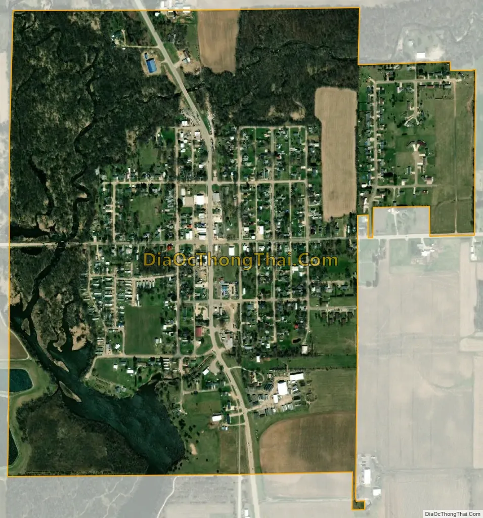
Hazleton city Satellite Map
Geography
According to the United States Census Bureau, the city has a total area of 0.79 square miles (2.05 km), of which 0.75 square miles (1.94 km) is land and 0.04 square miles (0.10 km) is water.
See also
Map of Iowa State and its subdivision:- Adair
- Adams
- Allamakee
- Appanoose
- Audubon
- Benton
- Black Hawk
- Boone
- Bremer
- Buchanan
- Buena Vista
- Butler
- Calhoun
- Carroll
- Cass
- Cedar
- Cerro Gordo
- Cherokee
- Chickasaw
- Clarke
- Clay
- Clayton
- Clinton
- Crawford
- Dallas
- Davis
- Decatur
- Delaware
- Des Moines
- Dickinson
- Dubuque
- Emmet
- Fayette
- Floyd
- Franklin
- Fremont
- Greene
- Grundy
- Guthrie
- Hamilton
- Hancock
- Hardin
- Harrison
- Henry
- Howard
- Humboldt
- Ida
- Iowa
- Jackson
- Jasper
- Jefferson
- Johnson
- Jones
- Keokuk
- Kossuth
- Lee
- Linn
- Louisa
- Lucas
- Lyon
- Madison
- Mahaska
- Marion
- Marshall
- Mills
- Mitchell
- Monona
- Monroe
- Montgomery
- Muscatine
- O'Brien
- Osceola
- Page
- Palo Alto
- Plymouth
- Pocahontas
- Polk
- Pottawattamie
- Poweshiek
- Ringgold
- Sac
- Scott
- Shelby
- Sioux
- Story
- Tama
- Taylor
- Union
- Van Buren
- Wapello
- Warren
- Washington
- Wayne
- Webster
- Winnebago
- Winneshiek
- Woodbury
- Worth
- Wright
- Alabama
- Alaska
- Arizona
- Arkansas
- California
- Colorado
- Connecticut
- Delaware
- District of Columbia
- Florida
- Georgia
- Hawaii
- Idaho
- Illinois
- Indiana
- Iowa
- Kansas
- Kentucky
- Louisiana
- Maine
- Maryland
- Massachusetts
- Michigan
- Minnesota
- Mississippi
- Missouri
- Montana
- Nebraska
- Nevada
- New Hampshire
- New Jersey
- New Mexico
- New York
- North Carolina
- North Dakota
- Ohio
- Oklahoma
- Oregon
- Pennsylvania
- Rhode Island
- South Carolina
- South Dakota
- Tennessee
- Texas
- Utah
- Vermont
- Virginia
- Washington
- West Virginia
- Wisconsin
- Wyoming