Holstein is a city in Ida County, Iowa, United States. The population was 1,501 in the 2020 census, a 2% increase from 1,470 in 2000.
| Name: | Holstein city |
|---|---|
| LSAD Code: | 25 |
| LSAD Description: | city (suffix) |
| State: | Iowa |
| County: | Ida County |
| Elevation: | 1,450 ft (442 m) |
| Total Area: | 1.58 sq mi (4.10 km²) |
| Land Area: | 1.58 sq mi (4.08 km²) |
| Water Area: | 0.01 sq mi (0.01 km²) |
| Total Population: | 1,501 |
| Population Density: | 951.81/sq mi (367.49/km²) |
| ZIP code: | 51025 |
| Area code: | 712 |
| FIPS code: | 1936840 |
| GNISfeature ID: | 0457567 |
Online Interactive Map
Click on ![]() to view map in "full screen" mode.
to view map in "full screen" mode.
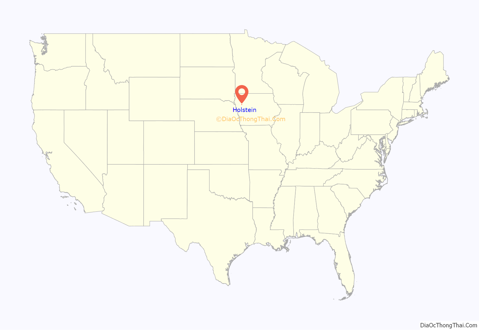
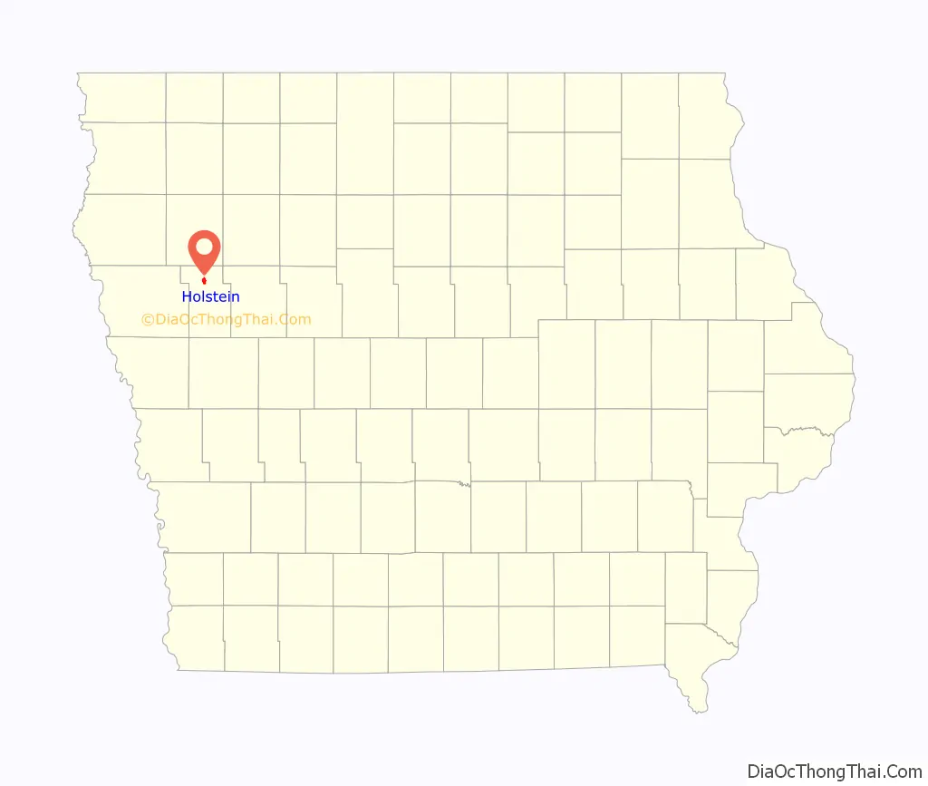
Holstein location map. Where is Holstein city?
History
Holstein was founded in 1882. A large share of the early settlers being natives of Holstein, in Germany, caused the name to be selected. Holstein was incorporated as a city on April 25, 1883. The city celebrated its Quasquicentennial in June 2007 with a week-long series of events.
Holstein Road Map
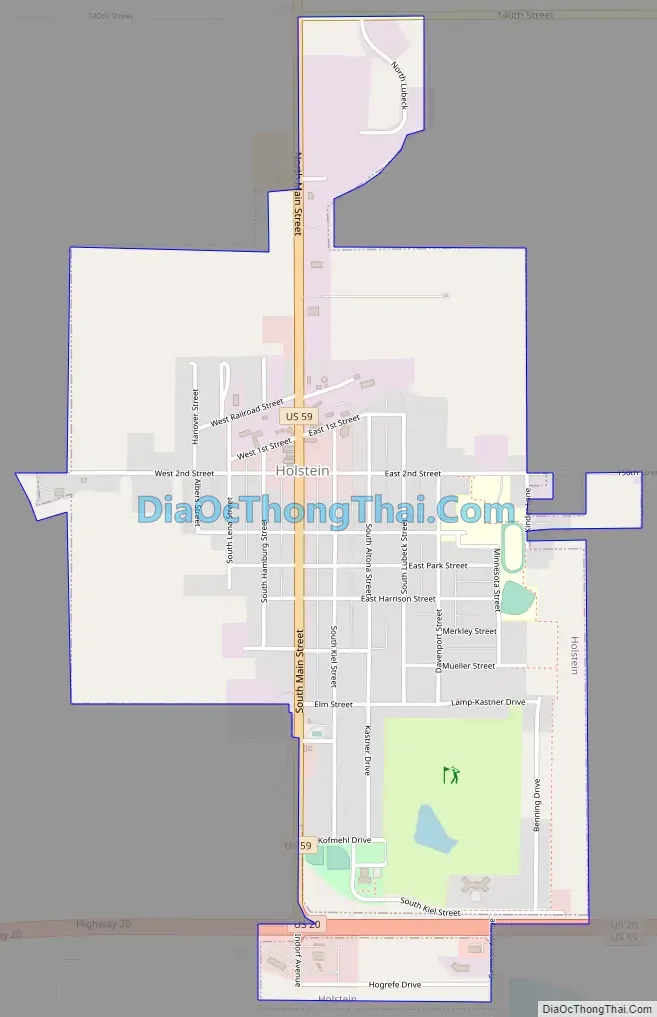
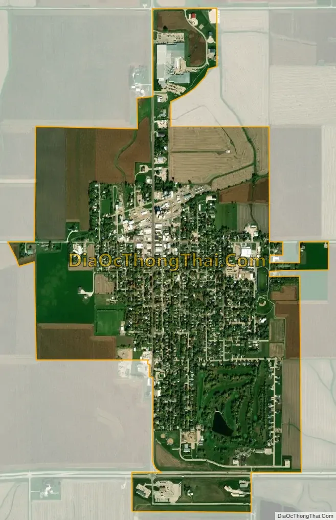
Holstein city Satellite Map
Geography
Holstein’s longitude and latitude coordinates in decimal form are 42.486794, -95.542565.
According to the United States Census Bureau, the city has a total area of 1.50 square miles (3.88 km), of which 1.49 square miles (3.86 km) is land and 0.01 square miles (0.03 km) is water.
Climate
See also
Map of Iowa State and its subdivision:- Adair
- Adams
- Allamakee
- Appanoose
- Audubon
- Benton
- Black Hawk
- Boone
- Bremer
- Buchanan
- Buena Vista
- Butler
- Calhoun
- Carroll
- Cass
- Cedar
- Cerro Gordo
- Cherokee
- Chickasaw
- Clarke
- Clay
- Clayton
- Clinton
- Crawford
- Dallas
- Davis
- Decatur
- Delaware
- Des Moines
- Dickinson
- Dubuque
- Emmet
- Fayette
- Floyd
- Franklin
- Fremont
- Greene
- Grundy
- Guthrie
- Hamilton
- Hancock
- Hardin
- Harrison
- Henry
- Howard
- Humboldt
- Ida
- Iowa
- Jackson
- Jasper
- Jefferson
- Johnson
- Jones
- Keokuk
- Kossuth
- Lee
- Linn
- Louisa
- Lucas
- Lyon
- Madison
- Mahaska
- Marion
- Marshall
- Mills
- Mitchell
- Monona
- Monroe
- Montgomery
- Muscatine
- O'Brien
- Osceola
- Page
- Palo Alto
- Plymouth
- Pocahontas
- Polk
- Pottawattamie
- Poweshiek
- Ringgold
- Sac
- Scott
- Shelby
- Sioux
- Story
- Tama
- Taylor
- Union
- Van Buren
- Wapello
- Warren
- Washington
- Wayne
- Webster
- Winnebago
- Winneshiek
- Woodbury
- Worth
- Wright
- Alabama
- Alaska
- Arizona
- Arkansas
- California
- Colorado
- Connecticut
- Delaware
- District of Columbia
- Florida
- Georgia
- Hawaii
- Idaho
- Illinois
- Indiana
- Iowa
- Kansas
- Kentucky
- Louisiana
- Maine
- Maryland
- Massachusetts
- Michigan
- Minnesota
- Mississippi
- Missouri
- Montana
- Nebraska
- Nevada
- New Hampshire
- New Jersey
- New Mexico
- New York
- North Carolina
- North Dakota
- Ohio
- Oklahoma
- Oregon
- Pennsylvania
- Rhode Island
- South Carolina
- South Dakota
- Tennessee
- Texas
- Utah
- Vermont
- Virginia
- Washington
- West Virginia
- Wisconsin
- Wyoming