Kellogg is a city in Jasper County, Iowa, United States. The population was 606 at the time of the 2020 census. It was originally named Manning’s Station, then carried the names Jasper City, Kimball, and then finally Kellogg, named for the pioneer settler Judge Abel Avery Kellogg.
| Name: | Kellogg city |
|---|---|
| LSAD Code: | 25 |
| LSAD Description: | city (suffix) |
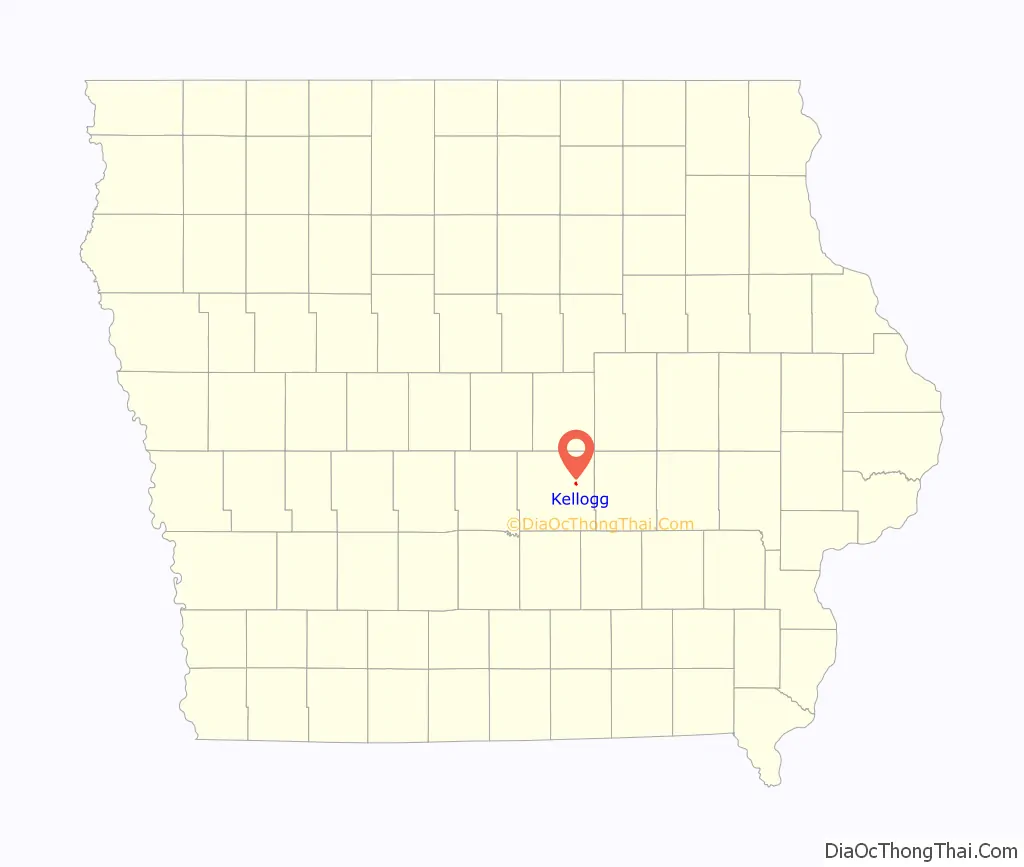
| State: | Iowa |
| County: | Jasper County |
| Elevation: | 896 ft (273 m) |
| Total Area: | 0.37 sq mi (0.96 km²) |
| Land Area: | 0.37 sq mi (0.96 km²) |
| Water Area: | 0.00 sq mi (0.00 km²) |
| Total Population: | 606 |
| Population Density: | 1,633.42/sq mi (630.96/km²) |
| ZIP code: | 50135 |
| Area code: | 641 |
| FIPS code: | 1940440 |
| GNISfeature ID: | 0458031 |
| Website: | www.kellogg-iowa.com |
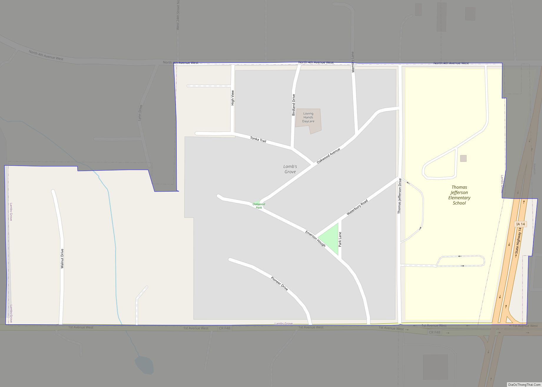
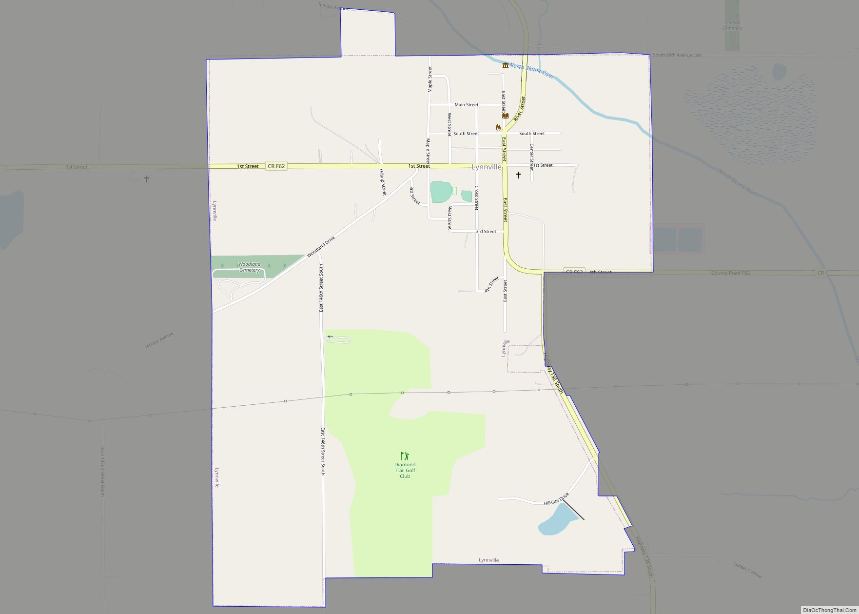
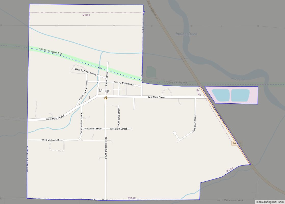
Online Interactive Map
Click on ![]() to view map in "full screen" mode.
to view map in "full screen" mode.
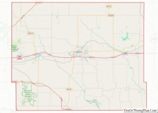
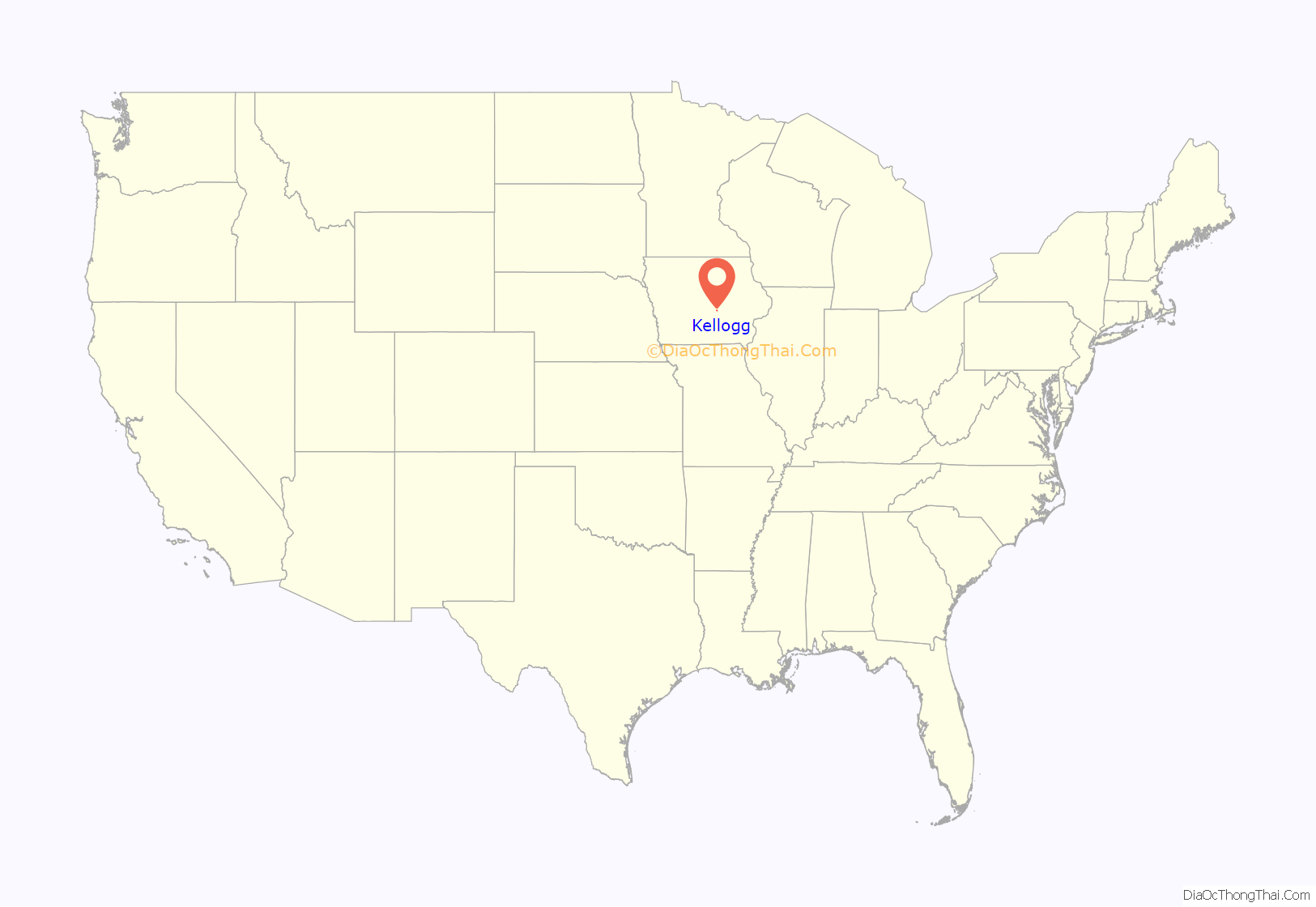
Kellogg location map. Where is Kellogg city?
History
Kellogg was laid out in 1865 in anticipation of the Mississippi and Missouri Railroad being built through that territory. The railroad reached the town in 1866 and it was designated a station on the line. The terminus of the railroad remained in Kellogg for some time, fueling the early growth of the town.
Today, one of Kellogg’s most notable features is the five-building Kellogg Museum complex. Its main building is the former Simpson Hotel, constructed in 1909. The museum complex also boasts an original one-room schoolhouse and a country church.
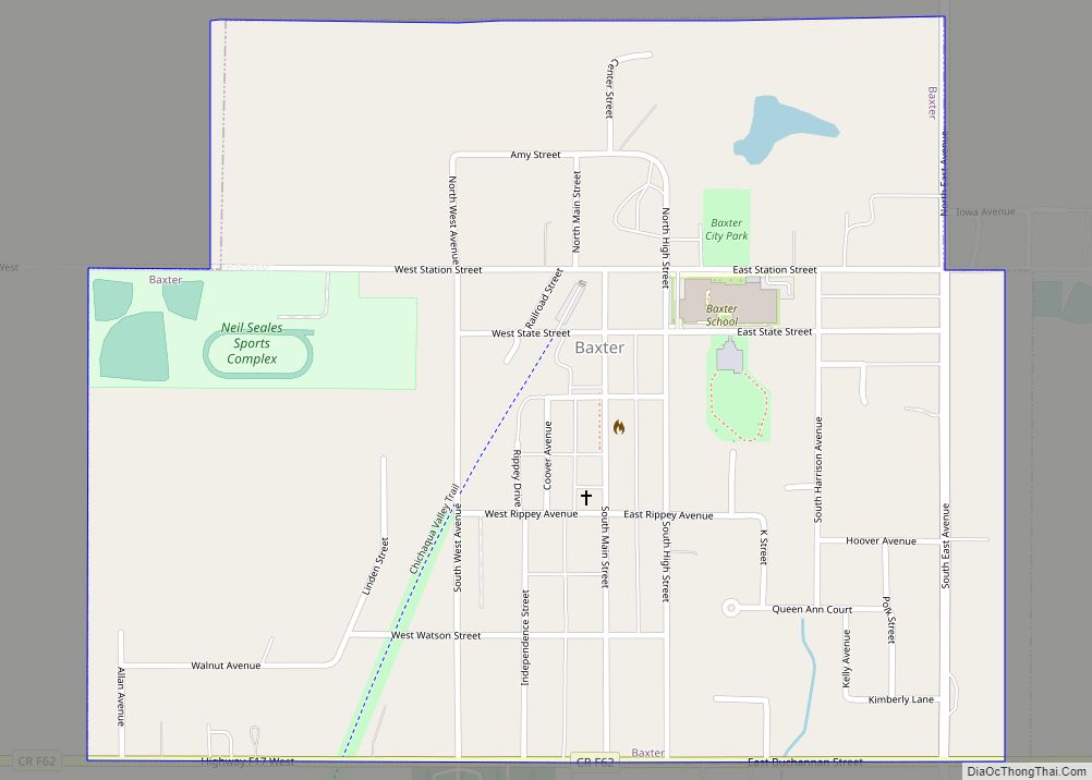
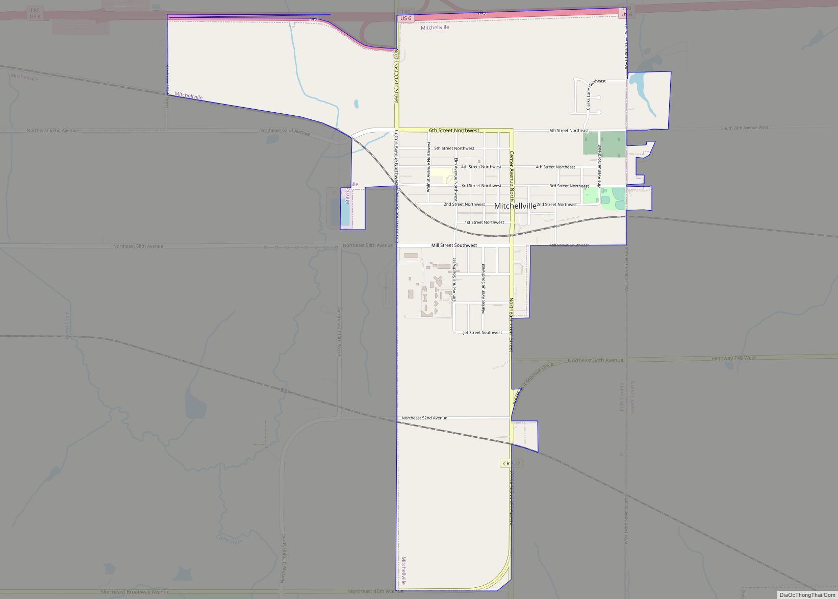
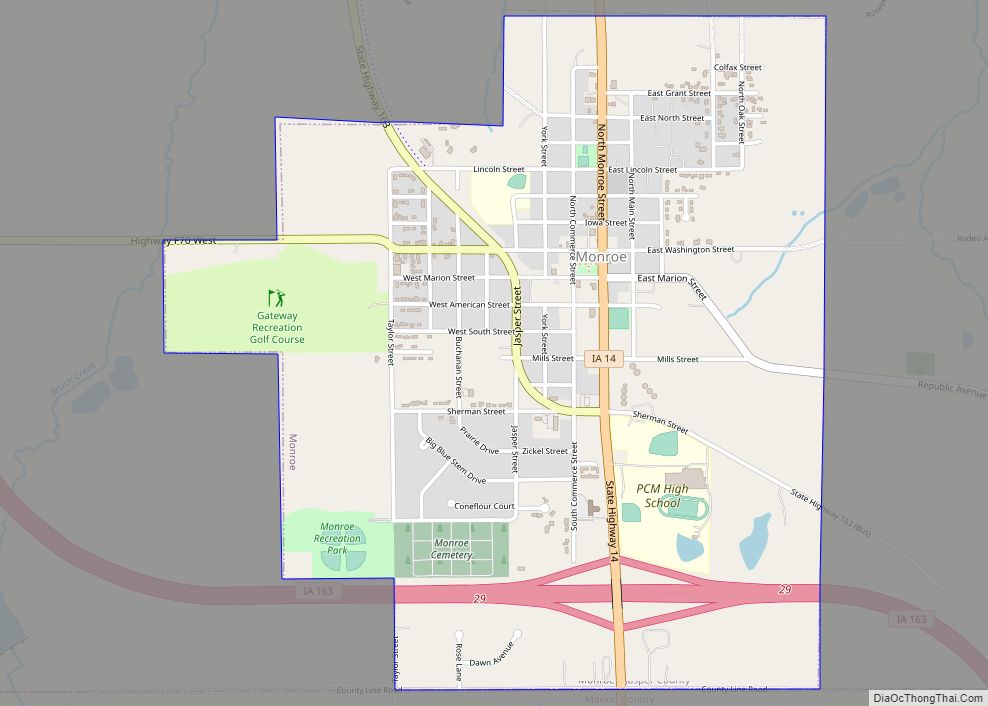
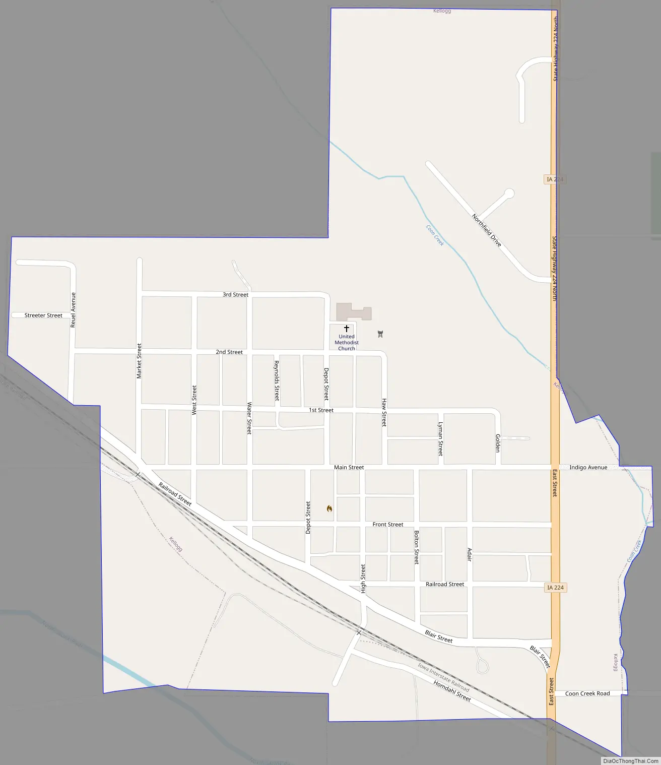
Kellogg Road Map
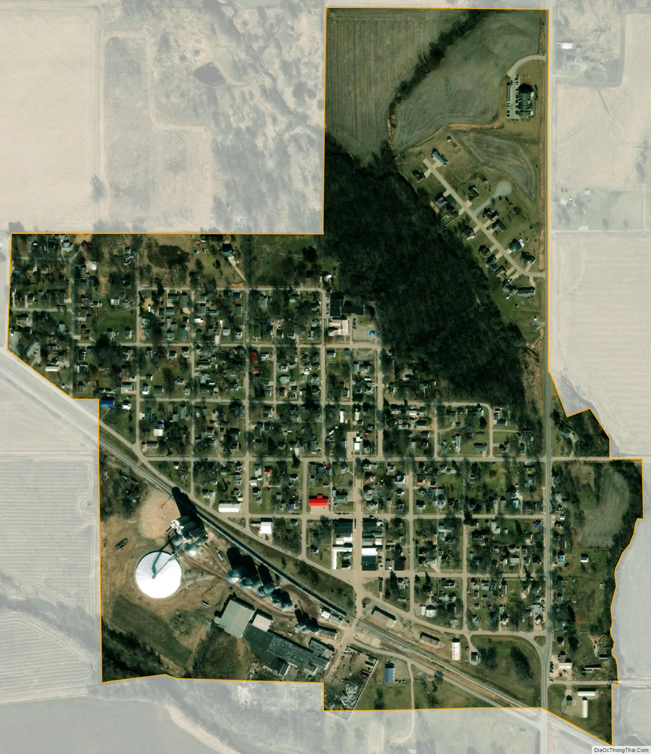
Kellogg city Satellite Map
Geography
Kellogg is located at 41°43′00″N 92°54′27″W / 41.71667°N 92.90750°W / 41.71667; -92.90750 (41.716641, -92.907563).
According to the United States Census Bureau, the city has a total area of 0.37 square miles (0.96 km), all land.
Highway 224 forms Kellogg’s eastern boundary. The North Skunk River runs southeasterly along the town’s southern edge.
ZIP codes
All addresses within Kellogg fall under the 50135 ZIP code. Most individuals receive mail at a post office box rather than at their residence.
Streets and addresses
Kellogg’s streets are labeled only by name, for example, “Adair St.” House numbers originate at the southeast corner of the town and increase as one moves west or north. Kellogg’s business district, including the Kellogg Museum complex, is located on High St.
See also
Map of Iowa State and its subdivision:- Adair
- Adams
- Allamakee
- Appanoose
- Audubon
- Benton
- Black Hawk
- Boone
- Bremer
- Buchanan
- Buena Vista
- Butler
- Calhoun
- Carroll
- Cass
- Cedar
- Cerro Gordo
- Cherokee
- Chickasaw
- Clarke
- Clay
- Clayton
- Clinton
- Crawford
- Dallas
- Davis
- Decatur
- Delaware
- Des Moines
- Dickinson
- Dubuque
- Emmet
- Fayette
- Floyd
- Franklin
- Fremont
- Greene
- Grundy
- Guthrie
- Hamilton
- Hancock
- Hardin
- Harrison
- Henry
- Howard
- Humboldt
- Ida
- Iowa
- Jackson
- Jasper
- Jefferson
- Johnson
- Jones
- Keokuk
- Kossuth
- Lee
- Linn
- Louisa
- Lucas
- Lyon
- Madison
- Mahaska
- Marion
- Marshall
- Mills
- Mitchell
- Monona
- Monroe
- Montgomery
- Muscatine
- O'Brien
- Osceola
- Page
- Palo Alto
- Plymouth
- Pocahontas
- Polk
- Pottawattamie
- Poweshiek
- Ringgold
- Sac
- Scott
- Shelby
- Sioux
- Story
- Tama
- Taylor
- Union
- Van Buren
- Wapello
- Warren
- Washington
- Wayne
- Webster
- Winnebago
- Winneshiek
- Woodbury
- Worth
- Wright
- Alabama
- Alaska
- Arizona
- Arkansas
- California
- Colorado
- Connecticut
- Delaware
- District of Columbia
- Florida
- Georgia
- Hawaii
- Idaho
- Illinois
- Indiana
- Iowa
- Kansas
- Kentucky
- Louisiana
- Maine
- Maryland
- Massachusetts
- Michigan
- Minnesota
- Mississippi
- Missouri
- Montana
- Nebraska
- Nevada
- New Hampshire
- New Jersey
- New Mexico
- New York
- North Carolina
- North Dakota
- Ohio
- Oklahoma
- Oregon
- Pennsylvania
- Rhode Island
- South Carolina
- South Dakota
- Tennessee
- Texas
- Utah
- Vermont
- Virginia
- Washington
- West Virginia
- Wisconsin
- Wyoming