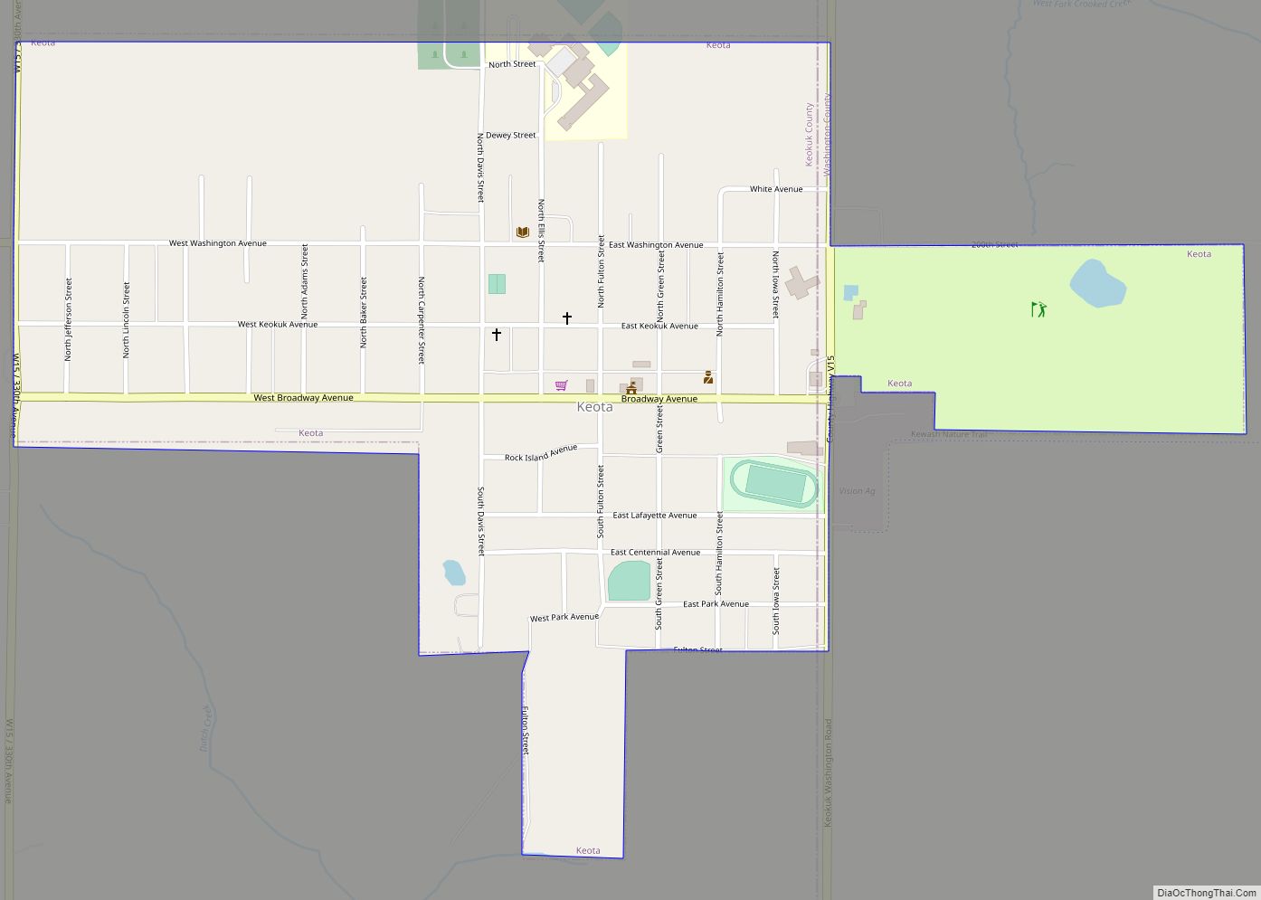
Keota is a city in Keokuk and Washington counties, Iowa, United States. The population was 897 at the time of the 2020 census.
| Name: | Keota city |
|---|---|
| LSAD Code: | 25 |
| LSAD Description: | city (suffix) |
| State: | Iowa |
| County: | Keokuk County |
| Elevation: | 797 ft (243 m) |
| Total Area: | 0.77 sq mi (2.00 km²) |
| Land Area: | 0.77 sq mi (2.00 km²) |
| Water Area: | 0.00 sq mi (0.00 km²) |
| Total Population: | 897 |
| Population Density: | 1,160.41/sq mi (447.84/km²) |
| ZIP code: | 52248 |
| Area code: | 641 |
| FIPS code: | 1940980 |
| GNISfeature ID: | 0458058 |
| Website: | www.keotaiowa.org |
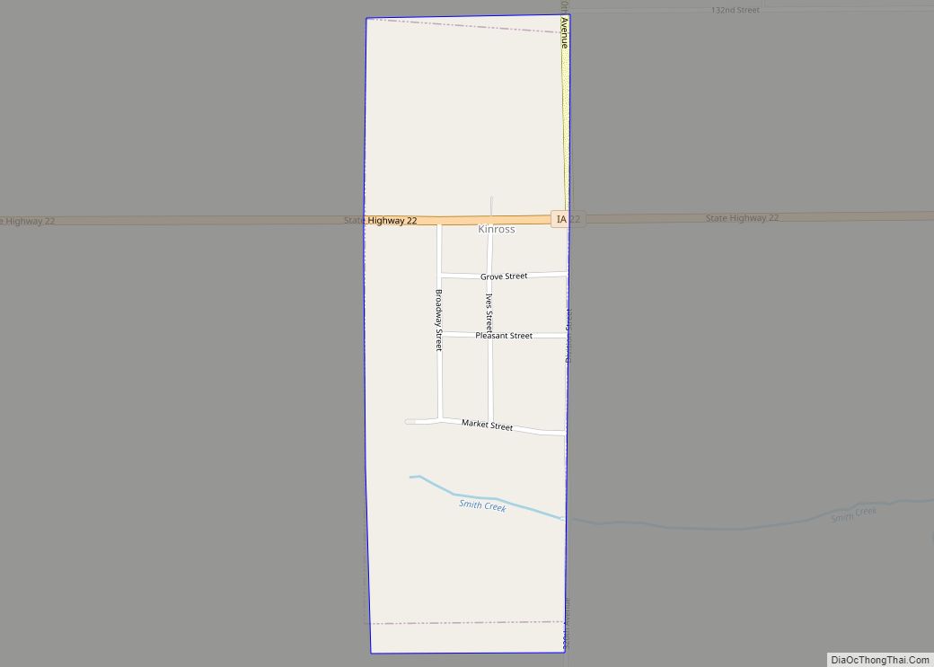
Online Interactive Map
Click on ![]() to view map in "full screen" mode.
to view map in "full screen" mode.
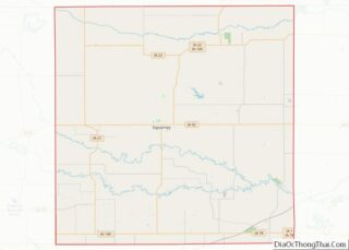
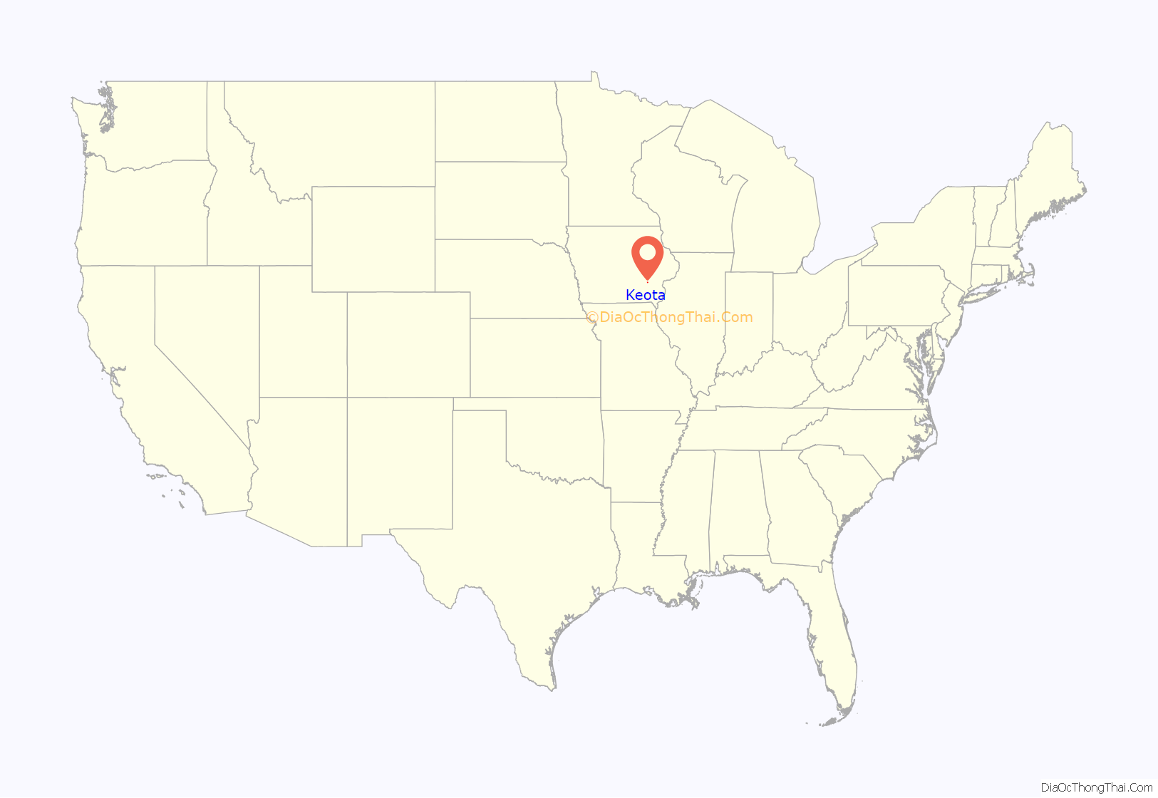
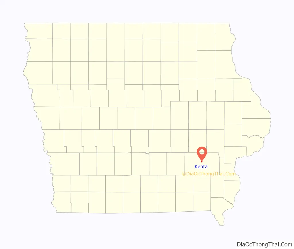
Keota location map. Where is Keota city?
History
Keota is derived from an Indian name meaning “gone to visit” or “the fire is gone out”.
2010 fire
A large part of historic downtown Keota was damaged by a fire on December 4, 2010. Five buildings on East Broadway were badly damaged or destroyed.
2023 tornado
An EF4 tornado struck the northwest edge of Keota on the afternoon of March 31st, 2023, causing extensive damage to numerous farms just outside of the city. Volunteers helped to clean up the debris in recovery efforts following the tornado.
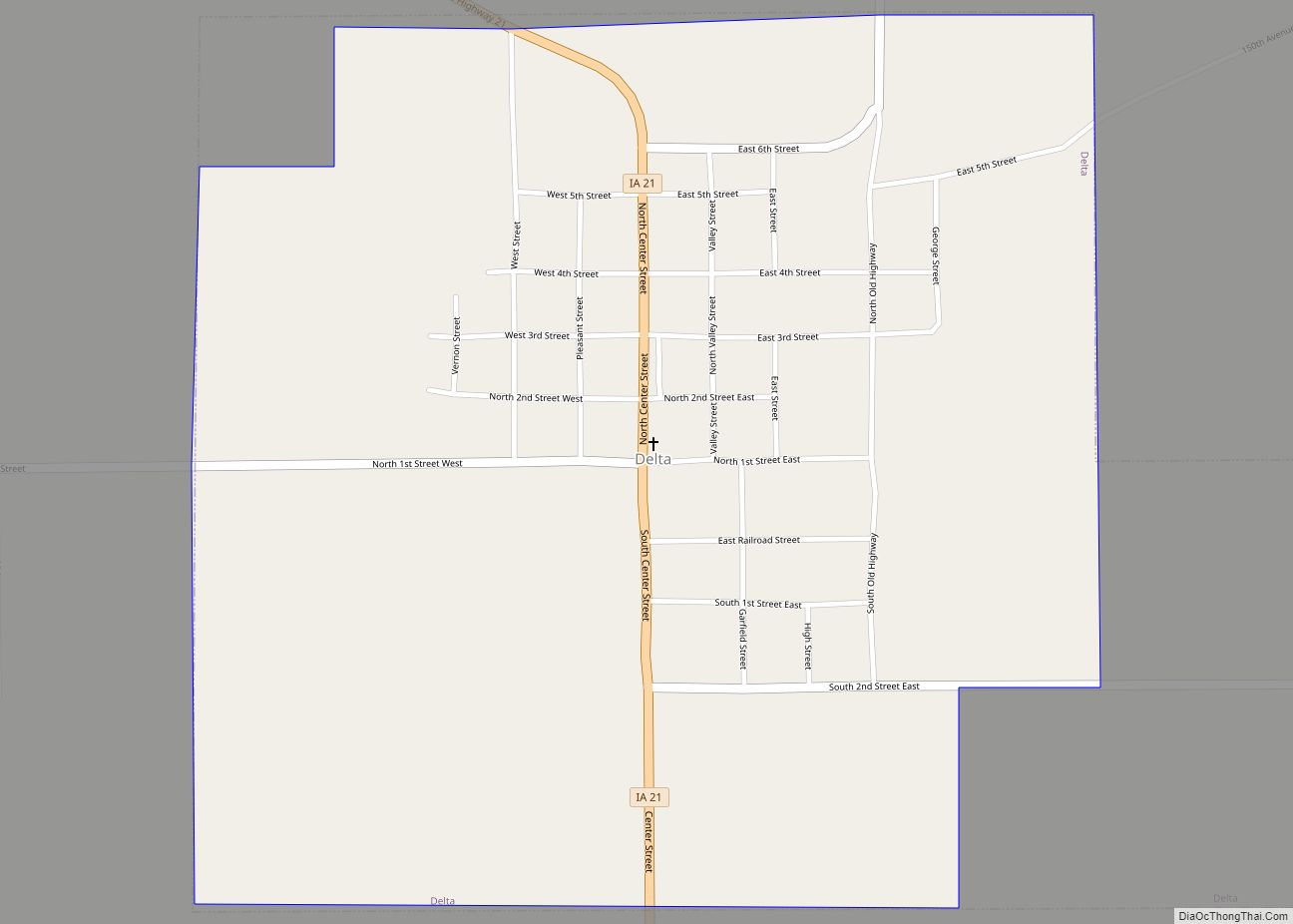
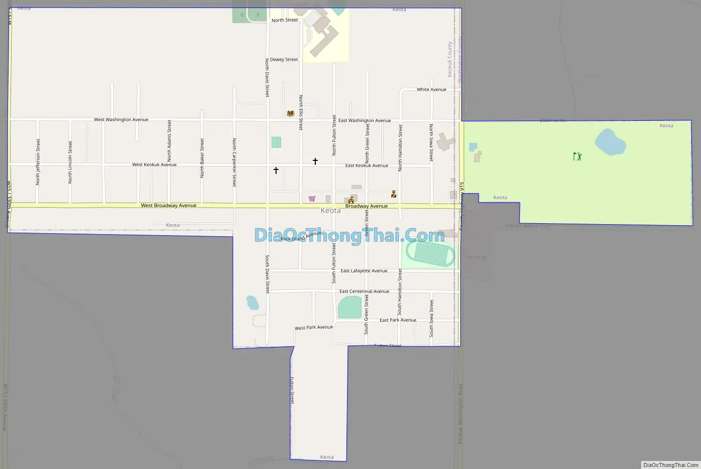
Keota Road Map
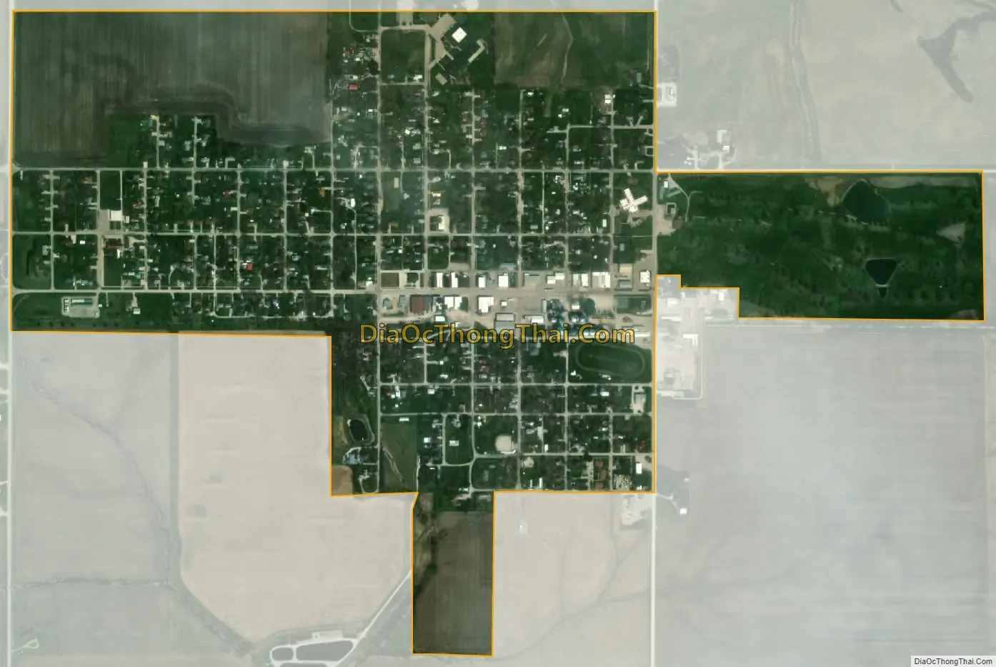
Keota city Satellite Map
Geography
Keota is located in eastern Keokuk County at 41°21′53″N 91°57′16″W / 41.36472°N 91.95444°W / 41.36472; -91.95444 (41.364727, -91.954310). The city limits extend east into Washington County to encompass a golf course. The city is 15 miles (24 km) east of Sigourney, the Keokuk county seat, and 17 miles (27 km) northwest of Washington.
According to the United States Census Bureau, Keota has a total area of 0.63 square miles (1.63 km), all land.
See also
Map of Iowa State and its subdivision:- Adair
- Adams
- Allamakee
- Appanoose
- Audubon
- Benton
- Black Hawk
- Boone
- Bremer
- Buchanan
- Buena Vista
- Butler
- Calhoun
- Carroll
- Cass
- Cedar
- Cerro Gordo
- Cherokee
- Chickasaw
- Clarke
- Clay
- Clayton
- Clinton
- Crawford
- Dallas
- Davis
- Decatur
- Delaware
- Des Moines
- Dickinson
- Dubuque
- Emmet
- Fayette
- Floyd
- Franklin
- Fremont
- Greene
- Grundy
- Guthrie
- Hamilton
- Hancock
- Hardin
- Harrison
- Henry
- Howard
- Humboldt
- Ida
- Iowa
- Jackson
- Jasper
- Jefferson
- Johnson
- Jones
- Keokuk
- Kossuth
- Lee
- Linn
- Louisa
- Lucas
- Lyon
- Madison
- Mahaska
- Marion
- Marshall
- Mills
- Mitchell
- Monona
- Monroe
- Montgomery
- Muscatine
- O'Brien
- Osceola
- Page
- Palo Alto
- Plymouth
- Pocahontas
- Polk
- Pottawattamie
- Poweshiek
- Ringgold
- Sac
- Scott
- Shelby
- Sioux
- Story
- Tama
- Taylor
- Union
- Van Buren
- Wapello
- Warren
- Washington
- Wayne
- Webster
- Winnebago
- Winneshiek
- Woodbury
- Worth
- Wright
- Alabama
- Alaska
- Arizona
- Arkansas
- California
- Colorado
- Connecticut
- Delaware
- District of Columbia
- Florida
- Georgia
- Hawaii
- Idaho
- Illinois
- Indiana
- Iowa
- Kansas
- Kentucky
- Louisiana
- Maine
- Maryland
- Massachusetts
- Michigan
- Minnesota
- Mississippi
- Missouri
- Montana
- Nebraska
- Nevada
- New Hampshire
- New Jersey
- New Mexico
- New York
- North Carolina
- North Dakota
- Ohio
- Oklahoma
- Oregon
- Pennsylvania
- Rhode Island
- South Carolina
- South Dakota
- Tennessee
- Texas
- Utah
- Vermont
- Virginia
- Washington
- West Virginia
- Wisconsin
- Wyoming