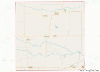
Sigourney (/ˈsɪɡərni/ SIG-ər-nee) is a city in Keokuk County, Iowa, United States. The population was 2,004 at the time of the 2020 census. It is the county seat of Keokuk County. Keokuk County Courthouse is located in the Public Square Historic District. Both are on the National Register of Historic Places.
| Name: | Sigourney city |
|---|---|
| LSAD Code: | 25 |
| LSAD Description: | city (suffix) |
| State: | Iowa |
| County: | Keokuk County |
| Elevation: | 794 ft (242 m) |
| Total Area: | 2.16 sq mi (5.60 km²) |
| Land Area: | 2.16 sq mi (5.60 km²) |
| Water Area: | 0.00 sq mi (0.00 km²) |
| Total Population: | 2,004 |
| Population Density: | 926.49/sq mi (357.64/km²) |
| ZIP code: | 52591 |
| Area code: | 641 |
| FIPS code: | 1973110 |
| GNISfeature ID: | 0461606 |
| Website: | http://www.sigourney-iowa.com |
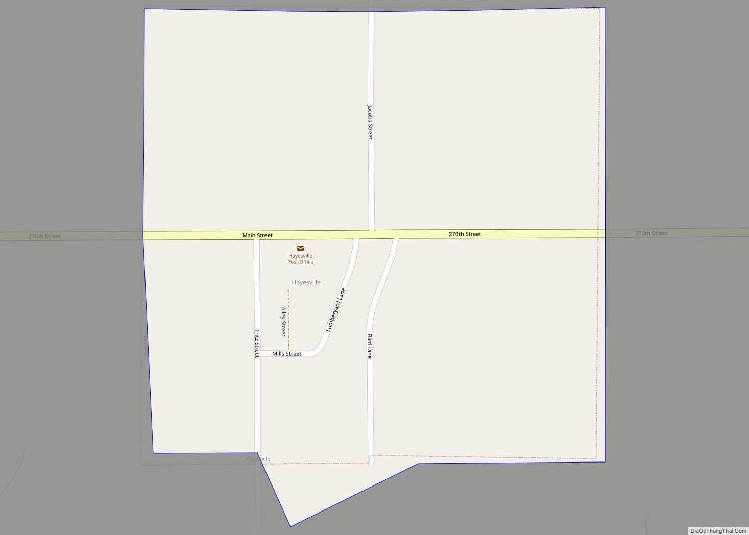
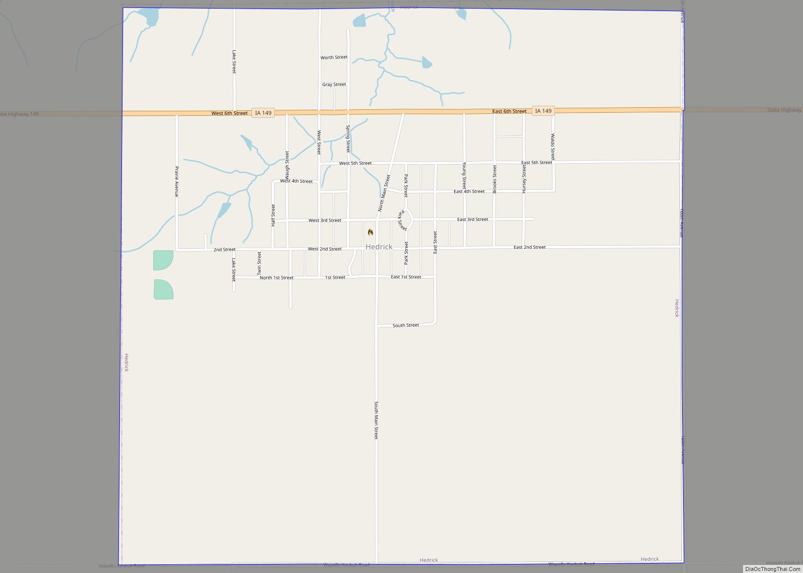
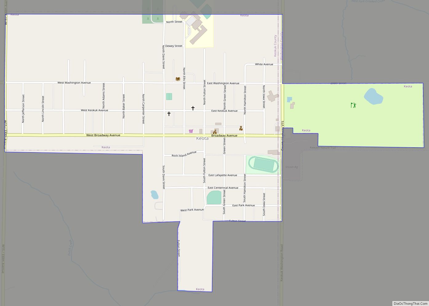
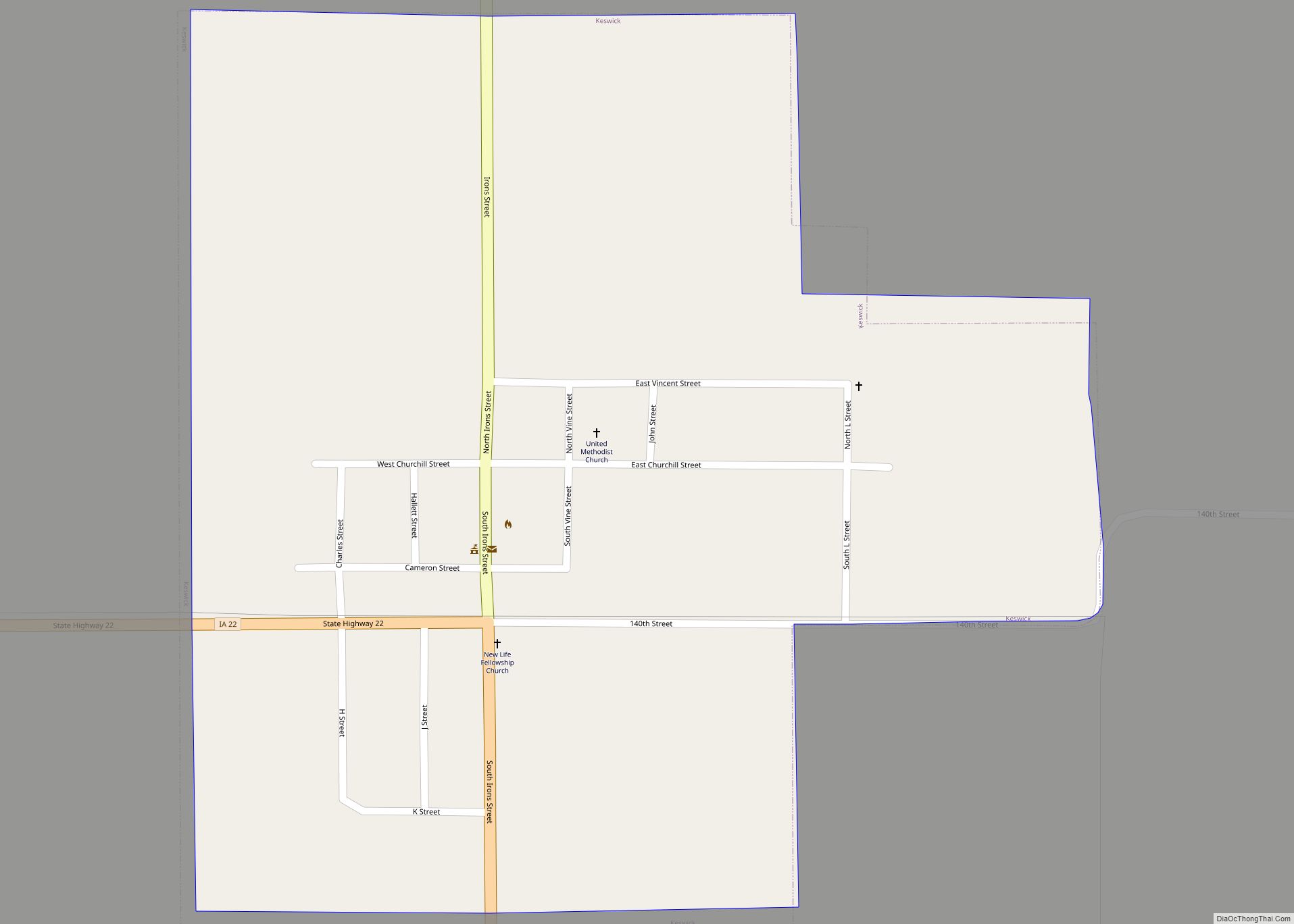
Online Interactive Map
Click on ![]() to view map in "full screen" mode.
to view map in "full screen" mode.
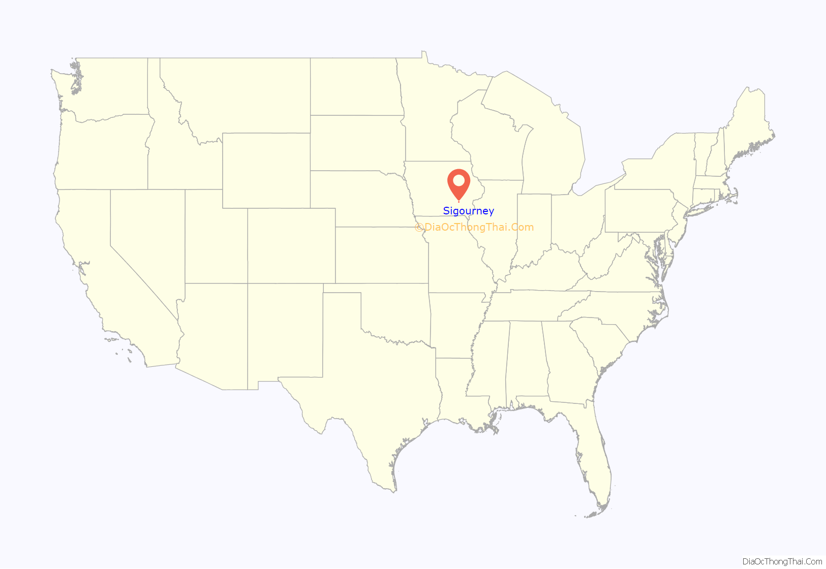
Sigourney location map. Where is Sigourney city?

History
Keokuk County was opened for Euro-American settlement in 1843, and the town got its start in 1844 when S.A. James built the first cabin there. Other families began to settle there as well, and in 1844, the town was named by county commissioner Dr. George H. Stone in honor of popular poet Lydia Sigourney. A large oil-painted portrait of Lydia still graces the foyer of the county courthouse.
Sigourney Road Map
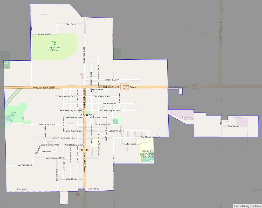
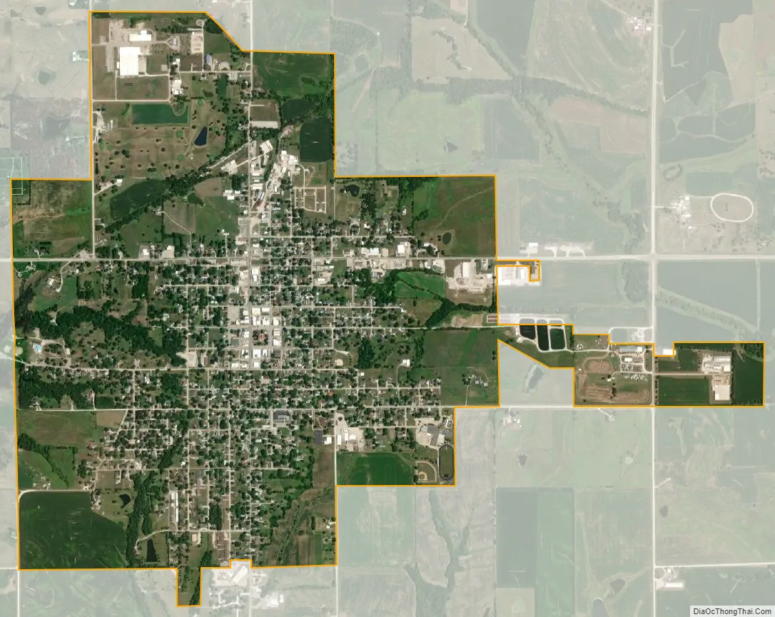
Sigourney city Satellite Map
Geography
Sigourney’s longitude and latitude coordinates
in decimal form are 41.333244, -92.203220.
According to the United States Census Bureau, the city has a total area of 2.18 square miles (5.65 km), all of it land.
See also
Map of Iowa State and its subdivision:- Adair
- Adams
- Allamakee
- Appanoose
- Audubon
- Benton
- Black Hawk
- Boone
- Bremer
- Buchanan
- Buena Vista
- Butler
- Calhoun
- Carroll
- Cass
- Cedar
- Cerro Gordo
- Cherokee
- Chickasaw
- Clarke
- Clay
- Clayton
- Clinton
- Crawford
- Dallas
- Davis
- Decatur
- Delaware
- Des Moines
- Dickinson
- Dubuque
- Emmet
- Fayette
- Floyd
- Franklin
- Fremont
- Greene
- Grundy
- Guthrie
- Hamilton
- Hancock
- Hardin
- Harrison
- Henry
- Howard
- Humboldt
- Ida
- Iowa
- Jackson
- Jasper
- Jefferson
- Johnson
- Jones
- Keokuk
- Kossuth
- Lee
- Linn
- Louisa
- Lucas
- Lyon
- Madison
- Mahaska
- Marion
- Marshall
- Mills
- Mitchell
- Monona
- Monroe
- Montgomery
- Muscatine
- O'Brien
- Osceola
- Page
- Palo Alto
- Plymouth
- Pocahontas
- Polk
- Pottawattamie
- Poweshiek
- Ringgold
- Sac
- Scott
- Shelby
- Sioux
- Story
- Tama
- Taylor
- Union
- Van Buren
- Wapello
- Warren
- Washington
- Wayne
- Webster
- Winnebago
- Winneshiek
- Woodbury
- Worth
- Wright
- Alabama
- Alaska
- Arizona
- Arkansas
- California
- Colorado
- Connecticut
- Delaware
- District of Columbia
- Florida
- Georgia
- Hawaii
- Idaho
- Illinois
- Indiana
- Iowa
- Kansas
- Kentucky
- Louisiana
- Maine
- Maryland
- Massachusetts
- Michigan
- Minnesota
- Mississippi
- Missouri
- Montana
- Nebraska
- Nevada
- New Hampshire
- New Jersey
- New Mexico
- New York
- North Carolina
- North Dakota
- Ohio
- Oklahoma
- Oregon
- Pennsylvania
- Rhode Island
- South Carolina
- South Dakota
- Tennessee
- Texas
- Utah
- Vermont
- Virginia
- Washington
- West Virginia
- Wisconsin
- Wyoming