Lake View is a city in Sac County, Iowa, United States. The population was 1,113 in the 2020 census, a decline from the 1,278 population in 2000.
| Name: | Lake View city |
|---|---|
| LSAD Code: | 25 |
| LSAD Description: | city (suffix) |
| State: | Iowa |
| County: | Sac County |
| Elevation: | 1,253 ft (382 m) |
| Total Area: | 2.37 sq mi (6.13 km²) |
| Land Area: | 2.08 sq mi (5.38 km²) |
| Water Area: | 0.29 sq mi (0.75 km²) |
| Total Population: | 1,113 |
| Population Density: | 535.61/sq mi (206.81/km²) |
| ZIP code: | 51450 |
| Area code: | 712 |
| FIPS code: | 1942690 |
| GNISfeature ID: | 0463546 |
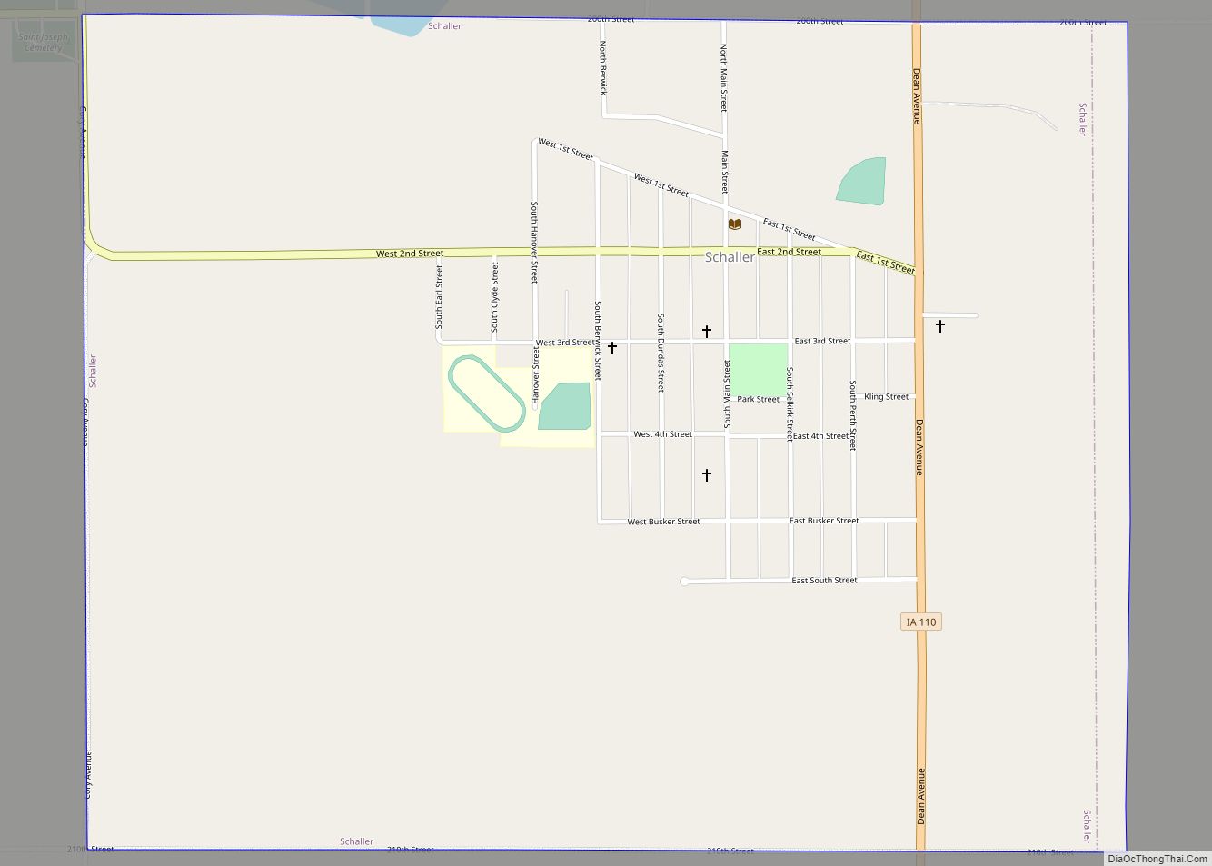
Online Interactive Map
Click on ![]() to view map in "full screen" mode.
to view map in "full screen" mode.
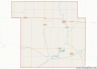
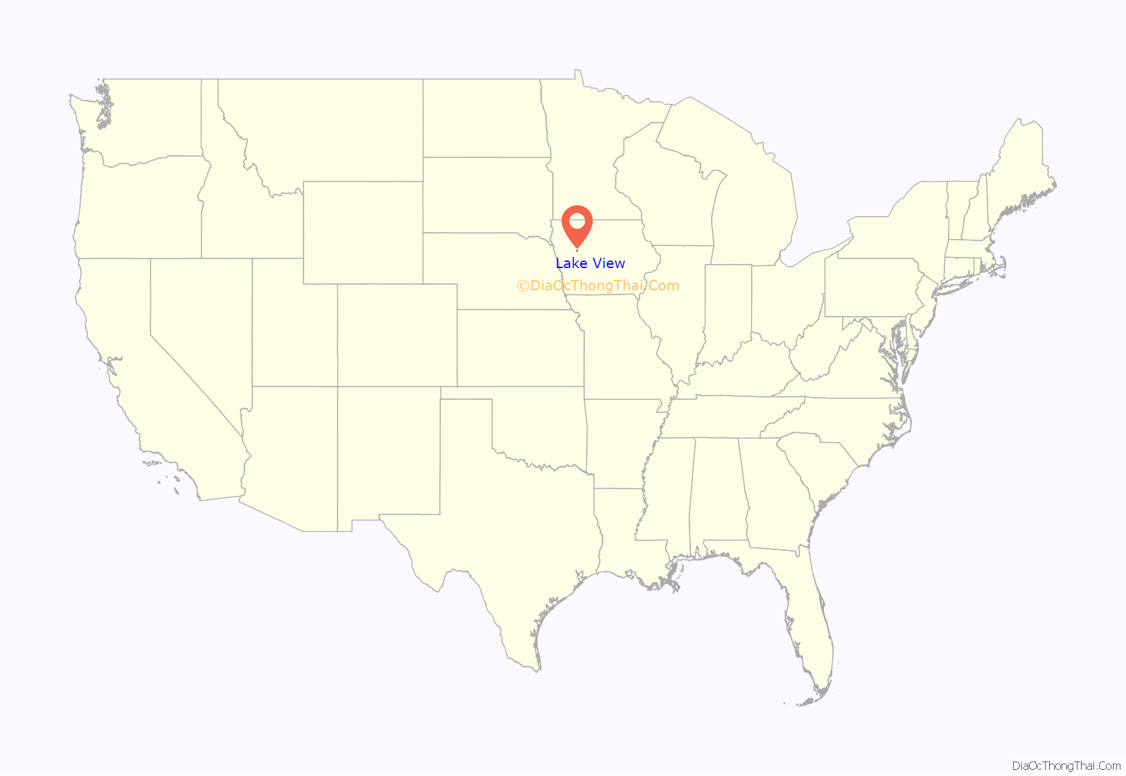
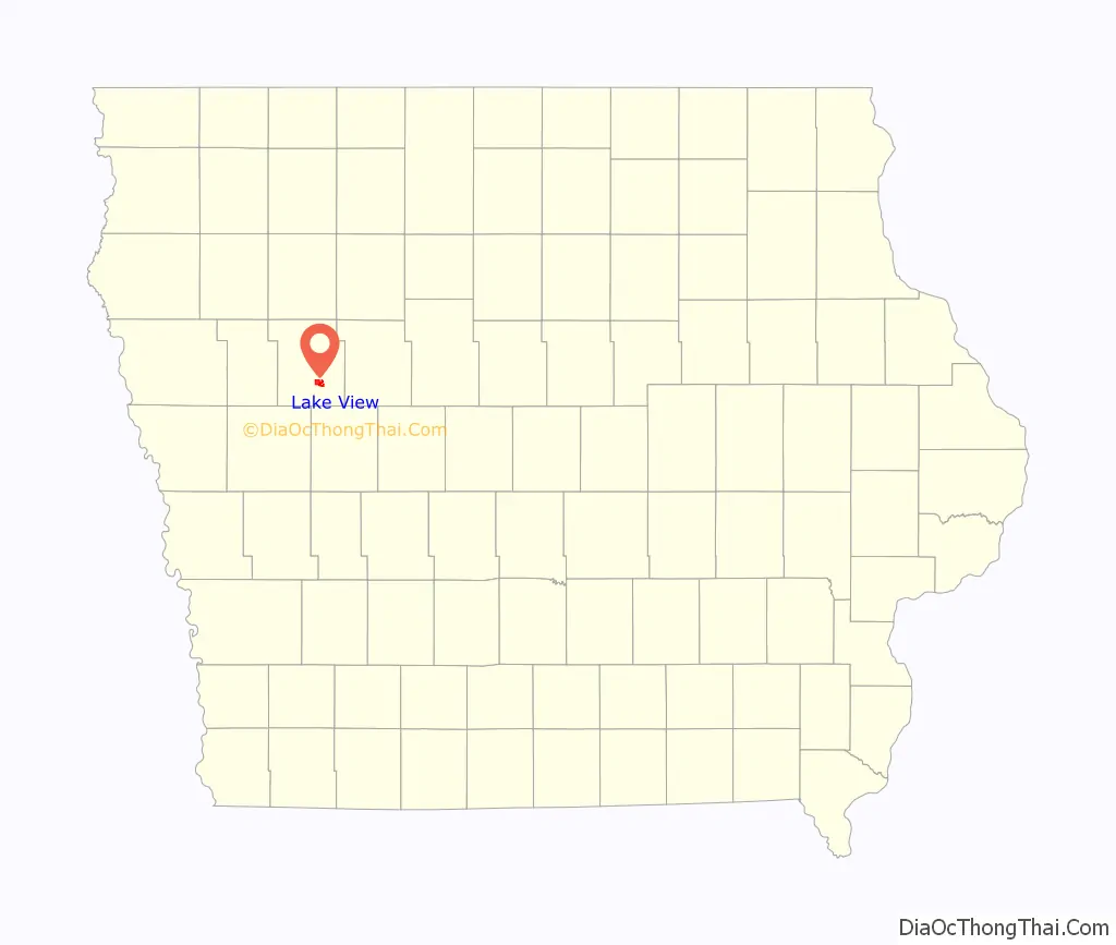
Lake View location map. Where is Lake View city?
History
The area around what is today called Black Hawk Lake was settled by white settlers in 1867. The first settlement was built by Robert Throssel and his son, followed by Joseph Parkinson, Noah Borah, William Johnston, Thomas Waddicor and George Trainer. In 1880 Platt Armstrong and James Fletcher built a railway station for the North Western Railway Company and laid out the town of Fletcher. The town was incorporated as a city and the name was changed from Fletcher to Lake View in 1887. The present name was selected for the scenic view over Wall Lake.
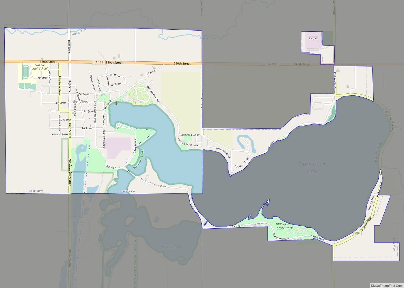
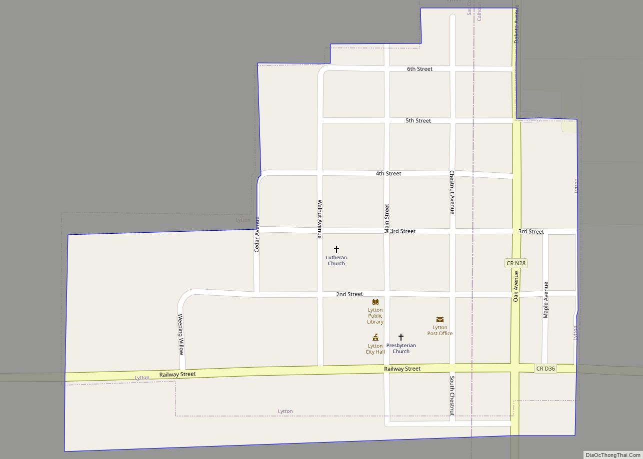
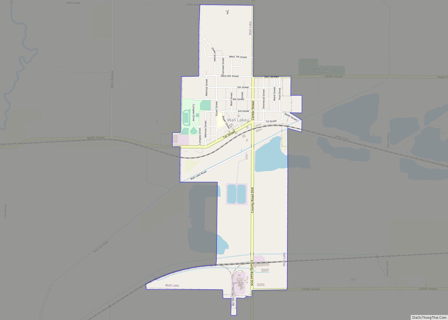
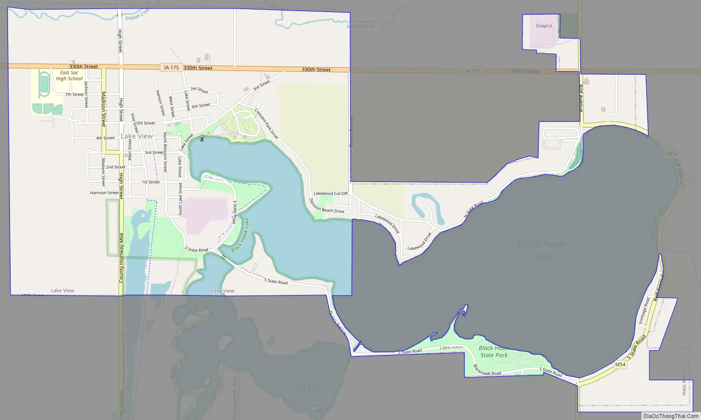
Lake View Road Map
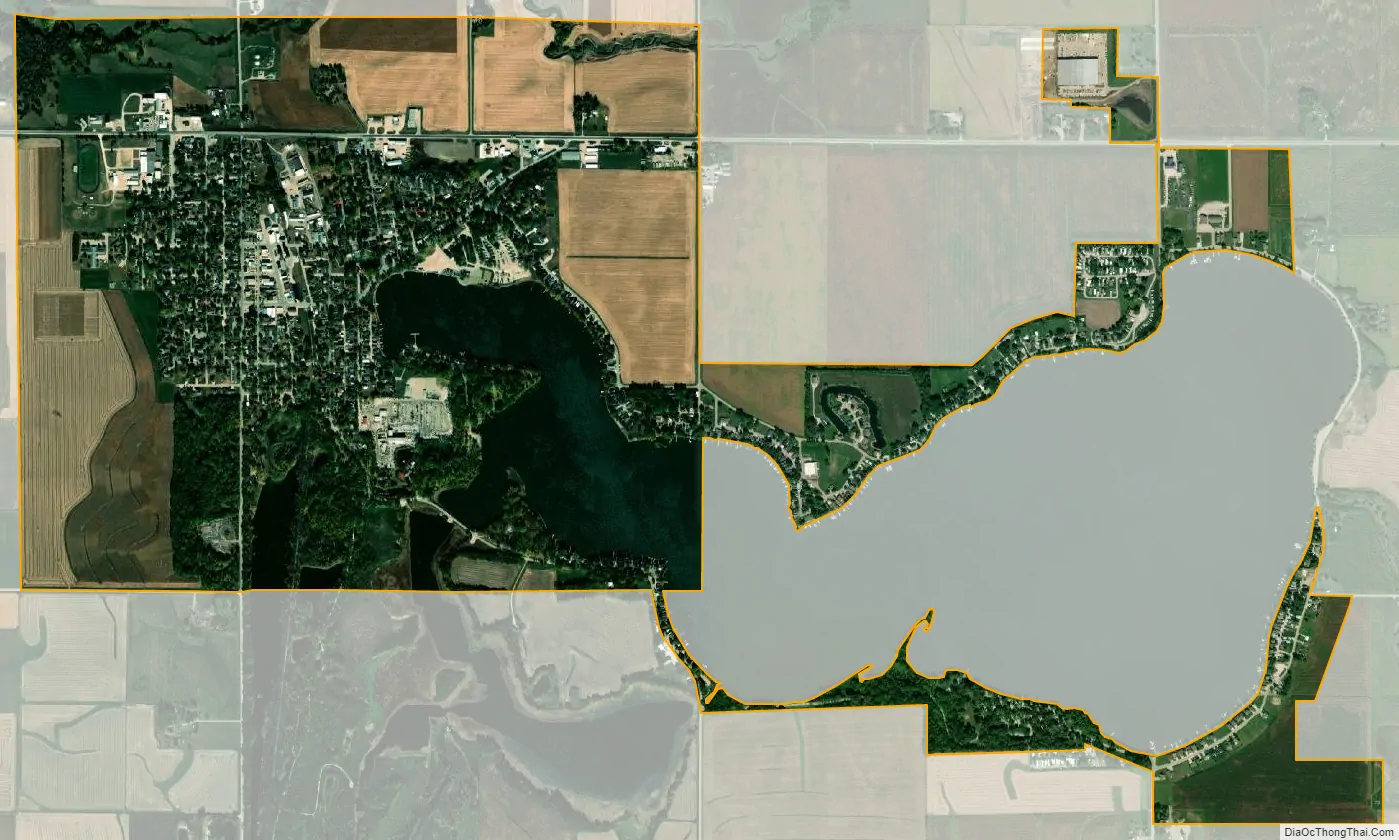
Lake View city Satellite Map
Geography
Lake View is located at 42°18′25″N 95°02′51″W / 42.307049°N 95.047394°W / 42.307049; -95.047394 (42.307049, -95.047394).
According to the United States Census Bureau, the city has a total area of 2.42 square miles (6.27 km), of which 2.12 square miles (5.49 km) is land and 0.30 square miles (0.78 km) is water.
See also
Map of Iowa State and its subdivision:- Adair
- Adams
- Allamakee
- Appanoose
- Audubon
- Benton
- Black Hawk
- Boone
- Bremer
- Buchanan
- Buena Vista
- Butler
- Calhoun
- Carroll
- Cass
- Cedar
- Cerro Gordo
- Cherokee
- Chickasaw
- Clarke
- Clay
- Clayton
- Clinton
- Crawford
- Dallas
- Davis
- Decatur
- Delaware
- Des Moines
- Dickinson
- Dubuque
- Emmet
- Fayette
- Floyd
- Franklin
- Fremont
- Greene
- Grundy
- Guthrie
- Hamilton
- Hancock
- Hardin
- Harrison
- Henry
- Howard
- Humboldt
- Ida
- Iowa
- Jackson
- Jasper
- Jefferson
- Johnson
- Jones
- Keokuk
- Kossuth
- Lee
- Linn
- Louisa
- Lucas
- Lyon
- Madison
- Mahaska
- Marion
- Marshall
- Mills
- Mitchell
- Monona
- Monroe
- Montgomery
- Muscatine
- O'Brien
- Osceola
- Page
- Palo Alto
- Plymouth
- Pocahontas
- Polk
- Pottawattamie
- Poweshiek
- Ringgold
- Sac
- Scott
- Shelby
- Sioux
- Story
- Tama
- Taylor
- Union
- Van Buren
- Wapello
- Warren
- Washington
- Wayne
- Webster
- Winnebago
- Winneshiek
- Woodbury
- Worth
- Wright
- Alabama
- Alaska
- Arizona
- Arkansas
- California
- Colorado
- Connecticut
- Delaware
- District of Columbia
- Florida
- Georgia
- Hawaii
- Idaho
- Illinois
- Indiana
- Iowa
- Kansas
- Kentucky
- Louisiana
- Maine
- Maryland
- Massachusetts
- Michigan
- Minnesota
- Mississippi
- Missouri
- Montana
- Nebraska
- Nevada
- New Hampshire
- New Jersey
- New Mexico
- New York
- North Carolina
- North Dakota
- Ohio
- Oklahoma
- Oregon
- Pennsylvania
- Rhode Island
- South Carolina
- South Dakota
- Tennessee
- Texas
- Utah
- Vermont
- Virginia
- Washington
- West Virginia
- Wisconsin
- Wyoming