Lime Springs is a city in Howard County, Iowa, United States. The population was 473 at the time of the 2020 census.
| Name: | Lime Springs city |
|---|---|
| LSAD Code: | 25 |
| LSAD Description: | city (suffix) |
| State: | Iowa |
| County: | Howard County |
| Elevation: | 1,240 ft (378 m) |
| Total Area: | 1.01 sq mi (2.63 km²) |
| Land Area: | 1.01 sq mi (2.63 km²) |
| Water Area: | 0.00 sq mi (0.00 km²) |
| Total Population: | 473 |
| Population Density: | 466.01/sq mi (179.92/km²) |
| ZIP code: | 52155 |
| Area code: | 563 |
| FIPS code: | 1945165 |
| GNISfeature ID: | 0458350 |
Online Interactive Map
Click on ![]() to view map in "full screen" mode.
to view map in "full screen" mode.
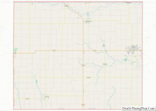
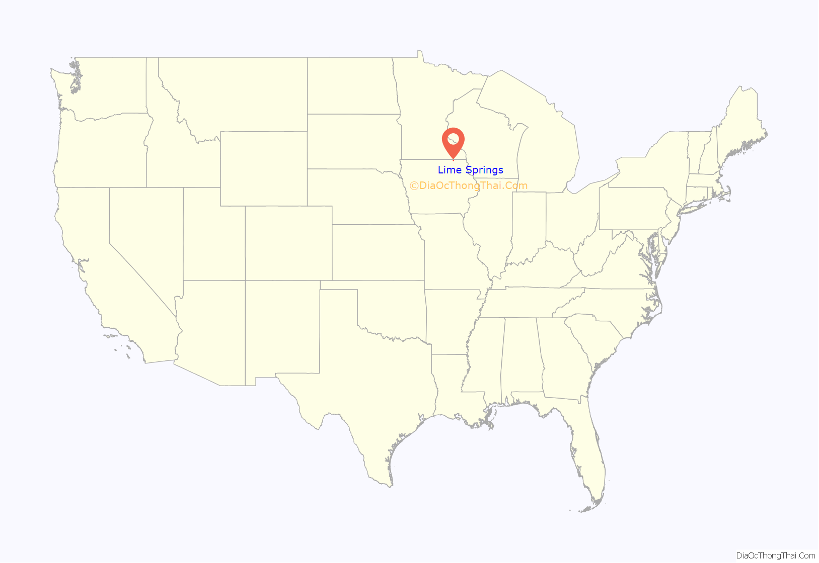
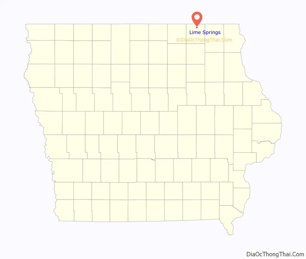
Lime Springs location map. Where is Lime Springs city?
History
The Old Town of Lime Springs was platted in 1857. After the railroad was built into the area, the town relocated nearby to its tracks. The town, then called Lime Springs Station, was platted again in 1867.
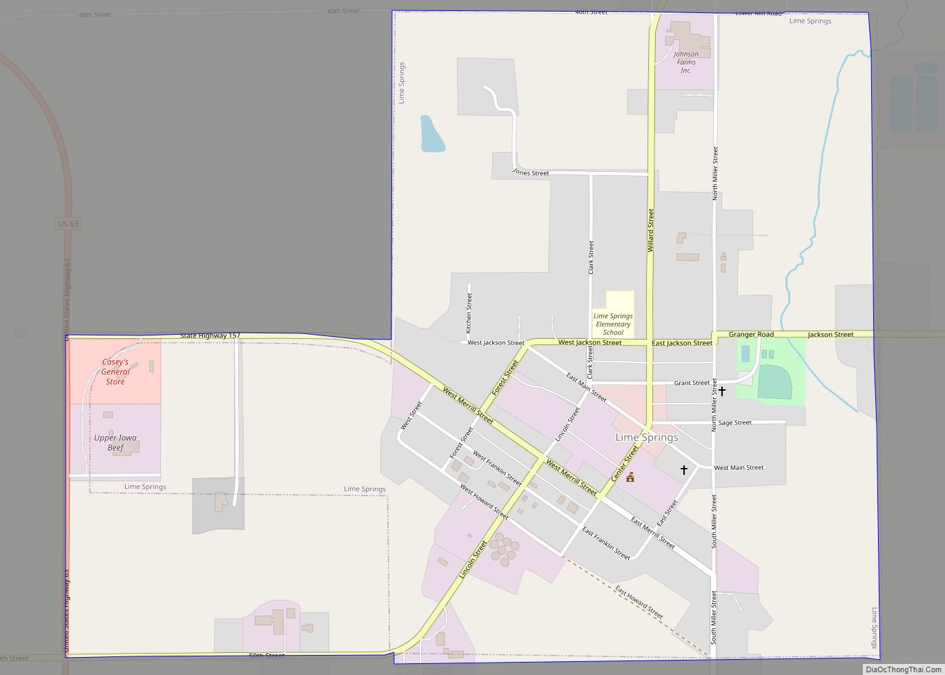
Lime Springs Road Map

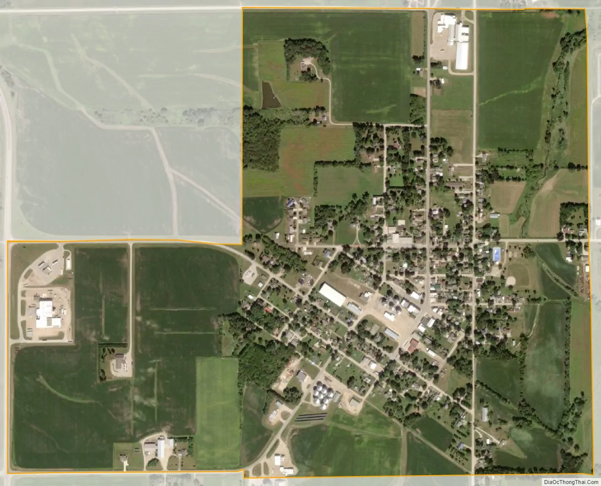
Lime Springs city Satellite Map
Geography
Lime Springs is located at 43°26′58″N 92°16′52″W / 43.44944°N 92.28111°W / 43.44944; -92.28111 (43.449578, -92.281226).
The town center originally existed a little farther to the north around the Lidtke Mill on the Upper Iowa River, but moved south when the railroad came to town.
According to the United States Census Bureau, the city has a total area of 1.02 square miles (2.64 km), all of it land.
Climate
See also
Map of Iowa State and its subdivision:- Adair
- Adams
- Allamakee
- Appanoose
- Audubon
- Benton
- Black Hawk
- Boone
- Bremer
- Buchanan
- Buena Vista
- Butler
- Calhoun
- Carroll
- Cass
- Cedar
- Cerro Gordo
- Cherokee
- Chickasaw
- Clarke
- Clay
- Clayton
- Clinton
- Crawford
- Dallas
- Davis
- Decatur
- Delaware
- Des Moines
- Dickinson
- Dubuque
- Emmet
- Fayette
- Floyd
- Franklin
- Fremont
- Greene
- Grundy
- Guthrie
- Hamilton
- Hancock
- Hardin
- Harrison
- Henry
- Howard
- Humboldt
- Ida
- Iowa
- Jackson
- Jasper
- Jefferson
- Johnson
- Jones
- Keokuk
- Kossuth
- Lee
- Linn
- Louisa
- Lucas
- Lyon
- Madison
- Mahaska
- Marion
- Marshall
- Mills
- Mitchell
- Monona
- Monroe
- Montgomery
- Muscatine
- O'Brien
- Osceola
- Page
- Palo Alto
- Plymouth
- Pocahontas
- Polk
- Pottawattamie
- Poweshiek
- Ringgold
- Sac
- Scott
- Shelby
- Sioux
- Story
- Tama
- Taylor
- Union
- Van Buren
- Wapello
- Warren
- Washington
- Wayne
- Webster
- Winnebago
- Winneshiek
- Woodbury
- Worth
- Wright
- Alabama
- Alaska
- Arizona
- Arkansas
- California
- Colorado
- Connecticut
- Delaware
- District of Columbia
- Florida
- Georgia
- Hawaii
- Idaho
- Illinois
- Indiana
- Iowa
- Kansas
- Kentucky
- Louisiana
- Maine
- Maryland
- Massachusetts
- Michigan
- Minnesota
- Mississippi
- Missouri
- Montana
- Nebraska
- Nevada
- New Hampshire
- New Jersey
- New Mexico
- New York
- North Carolina
- North Dakota
- Ohio
- Oklahoma
- Oregon
- Pennsylvania
- Rhode Island
- South Carolina
- South Dakota
- Tennessee
- Texas
- Utah
- Vermont
- Virginia
- Washington
- West Virginia
- Wisconsin
- Wyoming