Lone Tree is a city in southeastern Johnson County, Iowa, United States. It is part of the Iowa City, Iowa Metropolitan Statistical Area. The population was 1,357 at the time of the 2020 census.
| Name: | Lone Tree city |
|---|---|
| LSAD Code: | 25 |
| LSAD Description: | city (suffix) |
| State: | Iowa |
| County: | Johnson County |
| Elevation: | 725 ft (221 m) |
| Total Area: | 1.07 sq mi (2.76 km²) |
| Land Area: | 1.07 sq mi (2.76 km²) |
| Water Area: | 0.00 sq mi (0.00 km²) |
| Total Population: | 1,357 |
| Population Density: | 1,271.79/sq mi (491.11/km²) |
| ZIP code: | 52755 |
| Area code: | 319 |
| FIPS code: | 1946335 |
| GNISfeature ID: | 0458576 |
| Website: | http://www.lonetreeiowa.com |
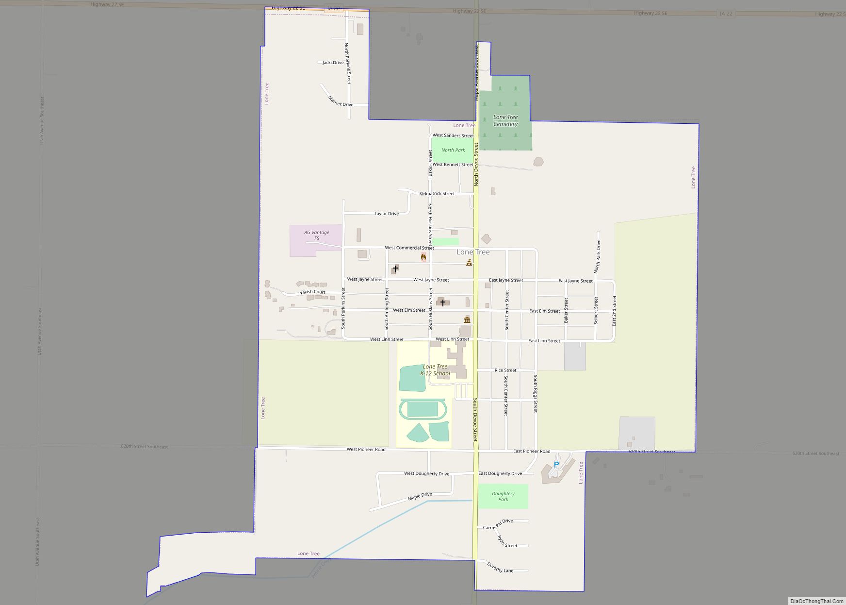
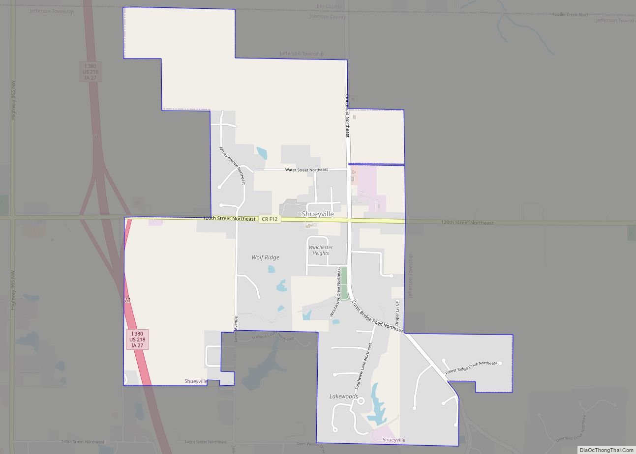
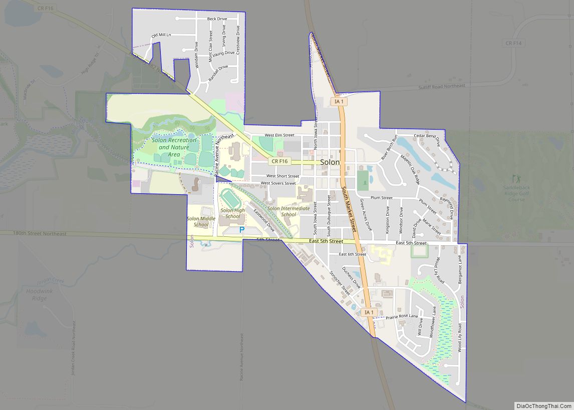
Online Interactive Map
Click on ![]() to view map in "full screen" mode.
to view map in "full screen" mode.
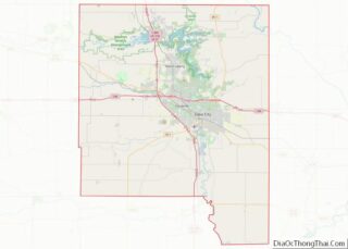
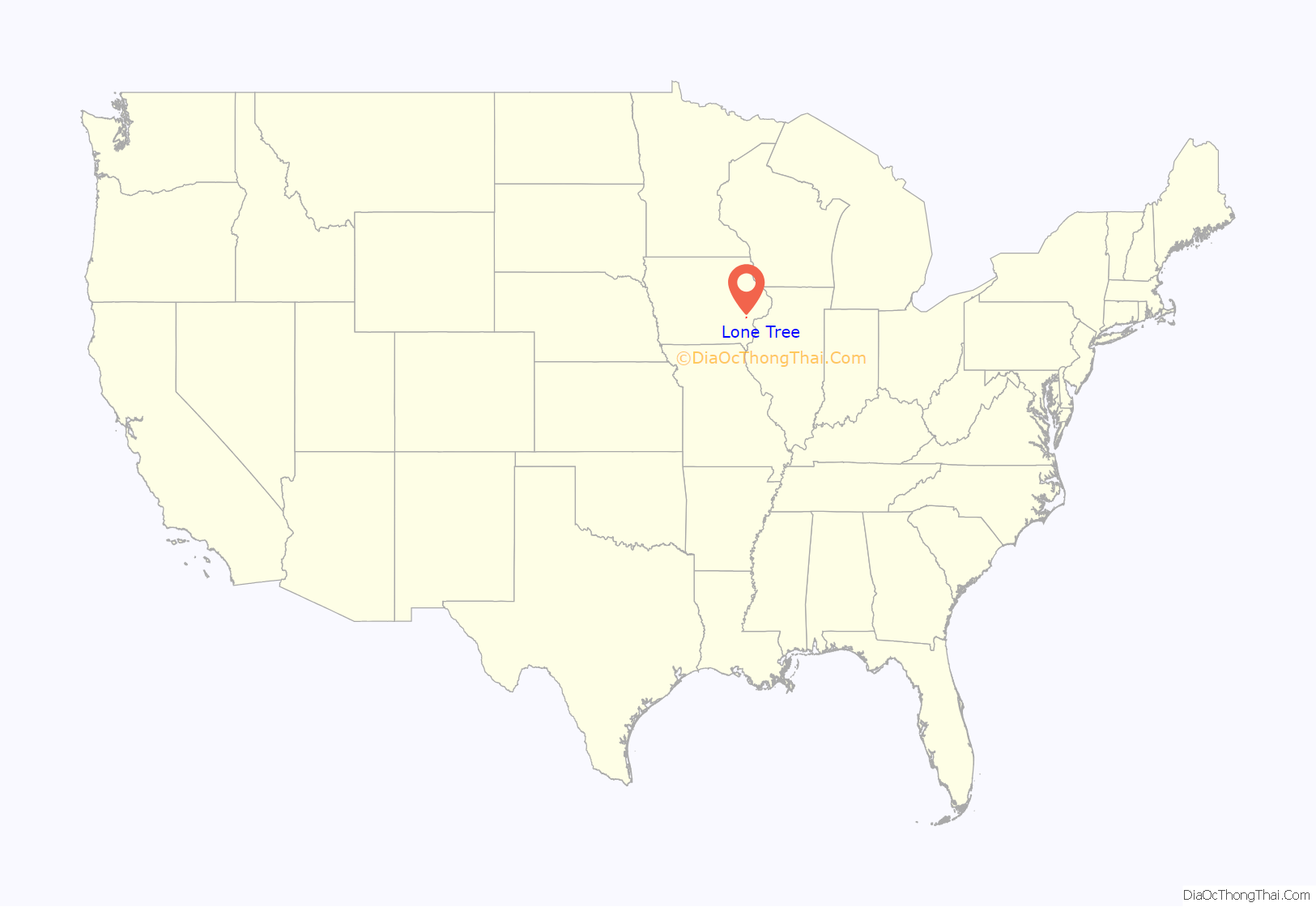
Lone Tree location map. Where is Lone Tree city?
History
Lone Tree was platted by John W. Jayne in 1872. Lone Tree derives its name from a giant elm that grew nearby in the pioneer era and served as a prairie landmark. This elm stood on a slight hill south of town. Local legend has it that the tree was so large, buffalo grazed under its expansive branches. It escaped prairie fires because of the lack of grass around the tree. The tree succumbed to the Dutch Elm disease of the 1960s, although valiant efforts were made to save it. The wood from the tree was used to make a sign denoting the tree’s home on the hill southeast of the city limits.
On December 9, 1985, during the 1980s farm crisis, a local farmer, Dale Burr, became distraught over his growing debt. He shot his wife Emily in their home. He then went to Hills Bank & Trust in the neighboring town of Hills and attempted to cash a check and when rebuffed, returned with a shotgun and killed bank president John Hughes. Next on his list was his neighbor Richard Goody, who had recently won a court settlement against Burr’s son. When pulled over by Johnson County sheriffs, Burr shot himself fatally. Burr had left a note beside his wife’s body. It said he “couldn’t manage his problems anymore.” The story was captured in Bruce Brown’s book Lone Tree.
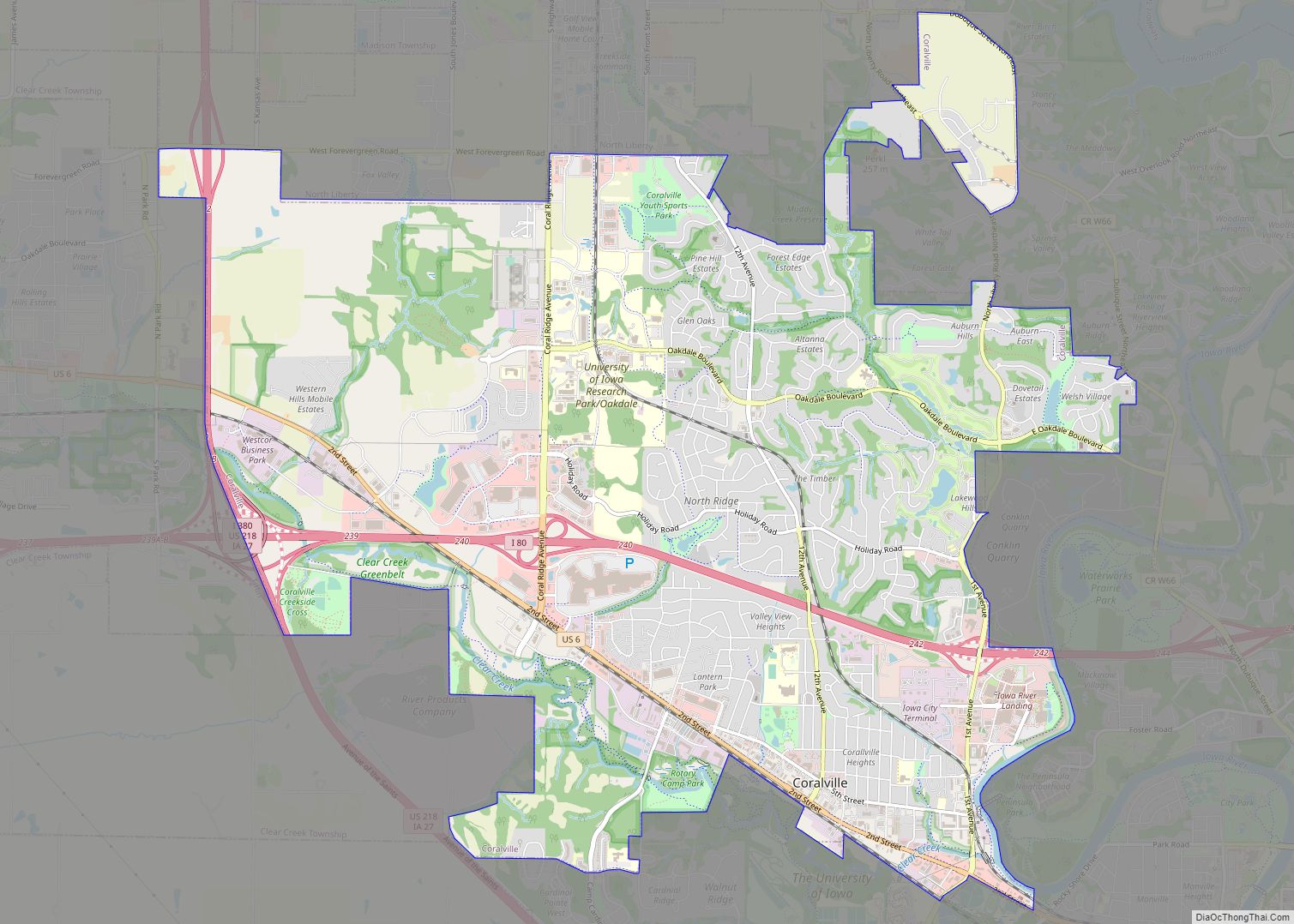
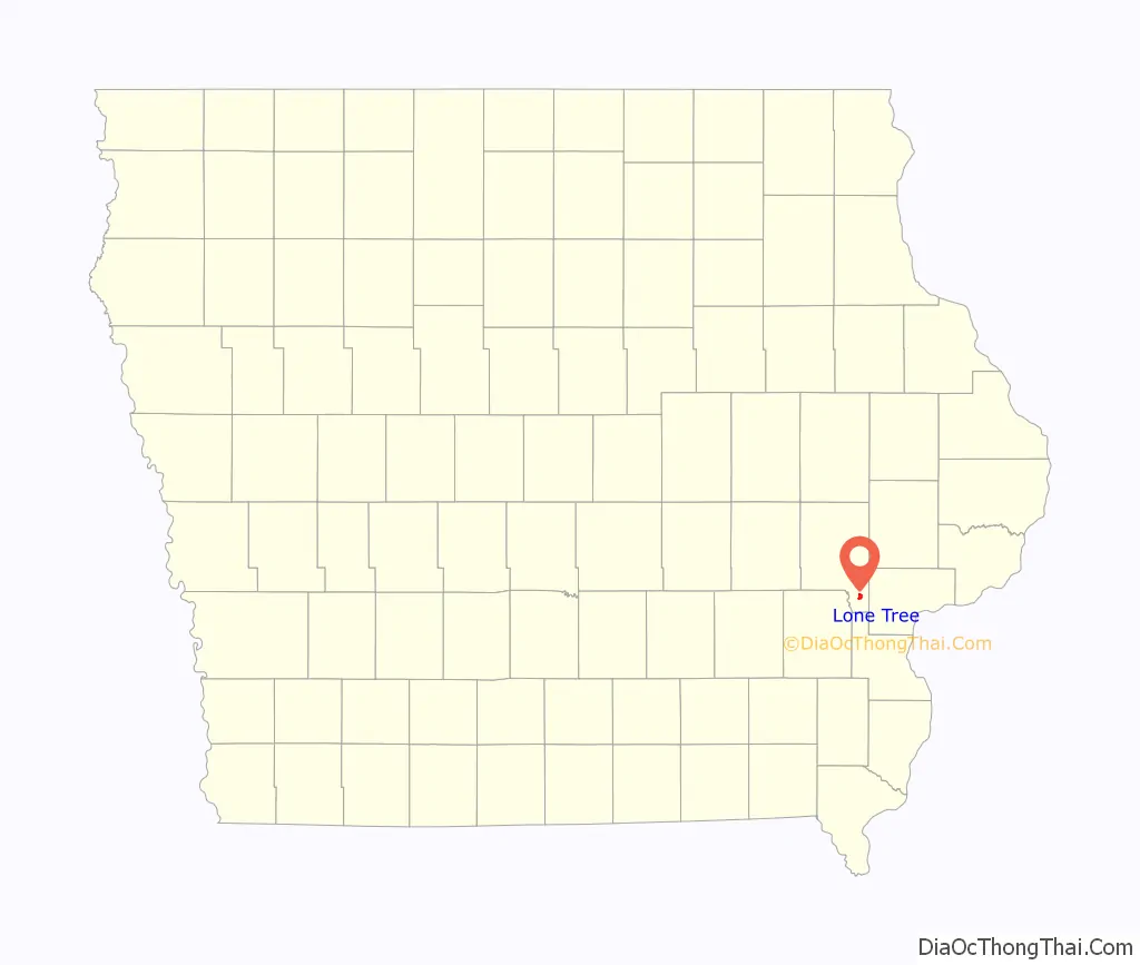
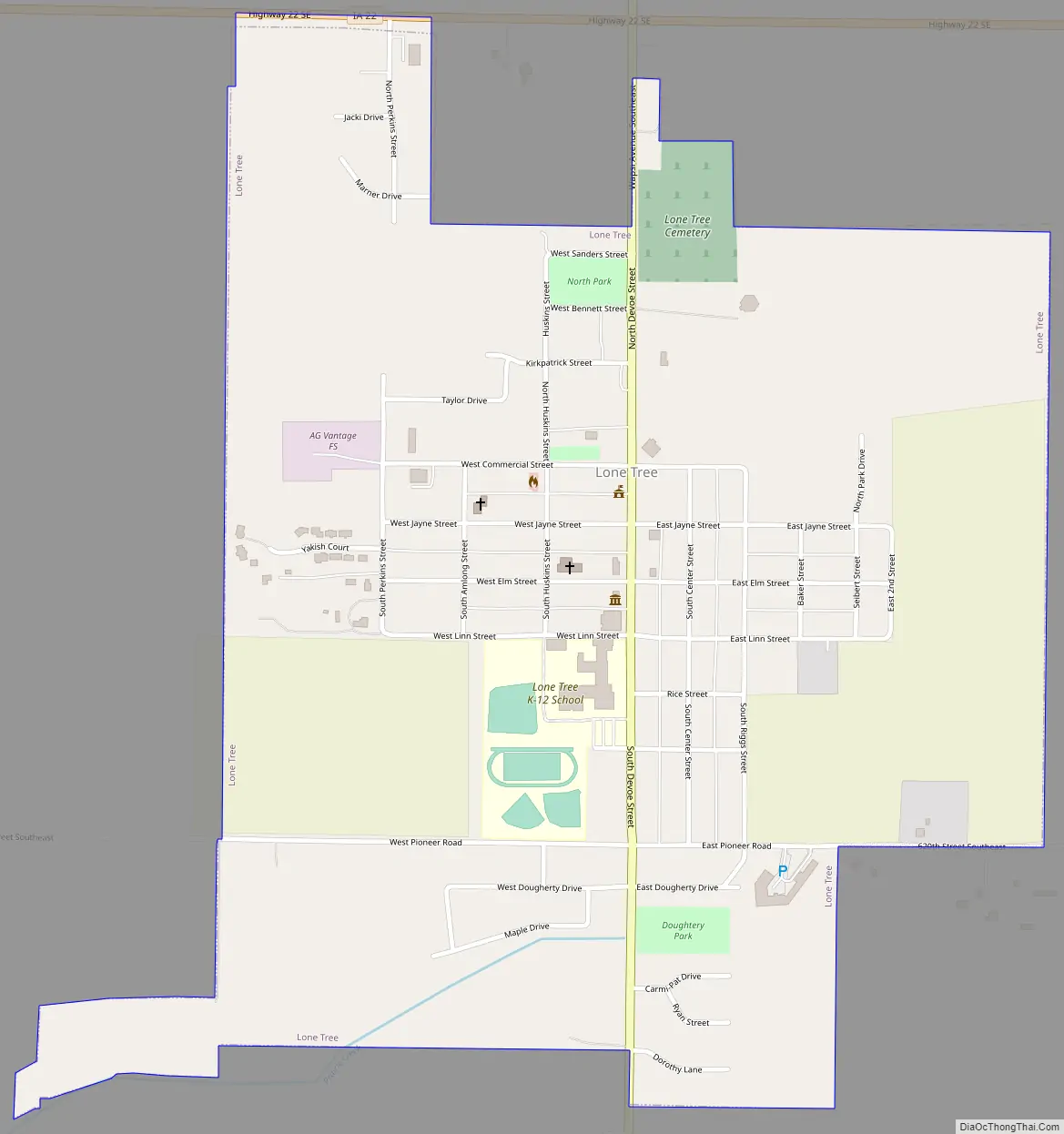
Lone Tree Road Map
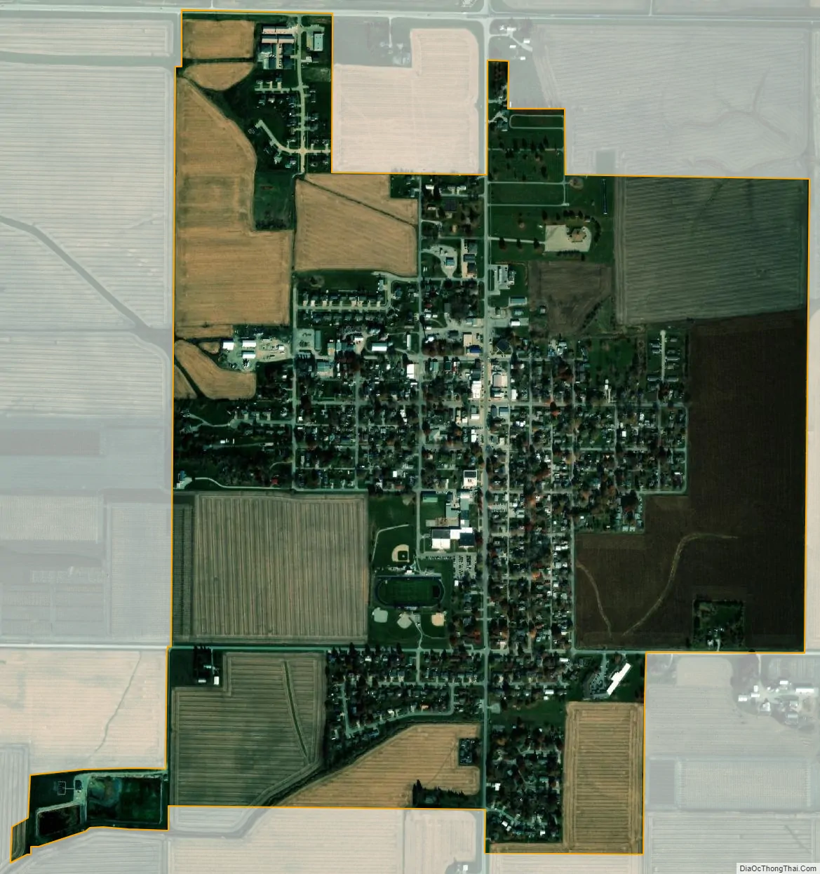
Lone Tree city Satellite Map
Geography
Lone Tree is located at 41°29′9″N 91°25′36″W / 41.48583°N 91.42667°W / 41.48583; -91.42667 (41.485871, -91.426692).
According to the United States Census Bureau, the city has a total area of 1.04 square miles (2.69 km), all land.
Lone Tree is located alongside Iowa Highway 22.
See also
Map of Iowa State and its subdivision:- Adair
- Adams
- Allamakee
- Appanoose
- Audubon
- Benton
- Black Hawk
- Boone
- Bremer
- Buchanan
- Buena Vista
- Butler
- Calhoun
- Carroll
- Cass
- Cedar
- Cerro Gordo
- Cherokee
- Chickasaw
- Clarke
- Clay
- Clayton
- Clinton
- Crawford
- Dallas
- Davis
- Decatur
- Delaware
- Des Moines
- Dickinson
- Dubuque
- Emmet
- Fayette
- Floyd
- Franklin
- Fremont
- Greene
- Grundy
- Guthrie
- Hamilton
- Hancock
- Hardin
- Harrison
- Henry
- Howard
- Humboldt
- Ida
- Iowa
- Jackson
- Jasper
- Jefferson
- Johnson
- Jones
- Keokuk
- Kossuth
- Lee
- Linn
- Louisa
- Lucas
- Lyon
- Madison
- Mahaska
- Marion
- Marshall
- Mills
- Mitchell
- Monona
- Monroe
- Montgomery
- Muscatine
- O'Brien
- Osceola
- Page
- Palo Alto
- Plymouth
- Pocahontas
- Polk
- Pottawattamie
- Poweshiek
- Ringgold
- Sac
- Scott
- Shelby
- Sioux
- Story
- Tama
- Taylor
- Union
- Van Buren
- Wapello
- Warren
- Washington
- Wayne
- Webster
- Winnebago
- Winneshiek
- Woodbury
- Worth
- Wright
- Alabama
- Alaska
- Arizona
- Arkansas
- California
- Colorado
- Connecticut
- Delaware
- District of Columbia
- Florida
- Georgia
- Hawaii
- Idaho
- Illinois
- Indiana
- Iowa
- Kansas
- Kentucky
- Louisiana
- Maine
- Maryland
- Massachusetts
- Michigan
- Minnesota
- Mississippi
- Missouri
- Montana
- Nebraska
- Nevada
- New Hampshire
- New Jersey
- New Mexico
- New York
- North Carolina
- North Dakota
- Ohio
- Oklahoma
- Oregon
- Pennsylvania
- Rhode Island
- South Carolina
- South Dakota
- Tennessee
- Texas
- Utah
- Vermont
- Virginia
- Washington
- West Virginia
- Wisconsin
- Wyoming