Lovilia is a city in Monroe County, Iowa, United States. The population was 472 at the time of the 2020 census.
| Name: | Lovilia city |
|---|---|
| LSAD Code: | 25 |
| LSAD Description: | city (suffix) |
| State: | Iowa |
| County: | Monroe County |
| Elevation: | 915 ft (279 m) |
| Total Area: | 0.52 sq mi (1.35 km²) |
| Land Area: | 0.52 sq mi (1.35 km²) |
| Water Area: | 0.00 sq mi (0.00 km²) |
| Total Population: | 472 |
| Population Density: | 904.21/sq mi (349.25/km²) |
| ZIP code: | 50150 |
| Area code: | 641 |
| FIPS code: | 1946830 |
| GNISfeature ID: | 0458647 |
Online Interactive Map
Click on ![]() to view map in "full screen" mode.
to view map in "full screen" mode.
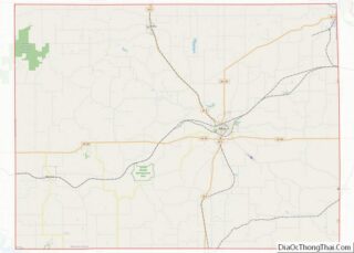
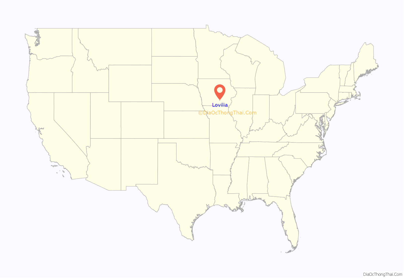
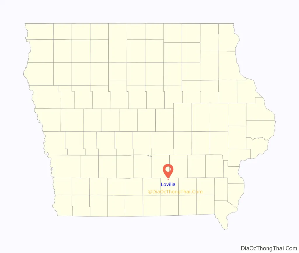
Lovilia location map. Where is Lovilia city?
History
Lovilla was laid out in 1853.
Coal was known north and south of Lovilia in the early 1900s, and there were scattered “country mines” in the area.
On March 30, 1953, there was a dust explosion at the O’Brien Mine, a coal mine near Lovilia. Two men, including the mine foreman, were in the mine to fire the black-powder shots at the end of the work shift. Both were killed in the blast. Volunteers from Lovilia went into the mine and brought out the bodies, and then the owner of the O’Brien mine, along with three officials of a nearby mine and an employee went underground to investigate. Of the five, only two survived; the others were overcome by bad air. The ensuing investigation determined that the dust explosion was caused by a blow-out in two of the blasted holes. A blow-out occurs when the force of the explosion blows the stemming out of a hole instead of breaking up the surrounding material. In the case of the O’Brien mine, the stemming used was a mix of coal dust and clay.
In 1972, the Lovilia Coal Company was operating one of the last two underground coal mines in Iowa. The mine employed 21 workers and produced 245,000 tons of coal that year. This was a room and pillar mine.
In 1985, the Star Coal Company of Lovilia was the largest employer in Monroe County, Iowa, with 150 employees. Coal production was 500,000 tons per year, about 80 percent of Iowa’s total coal production.
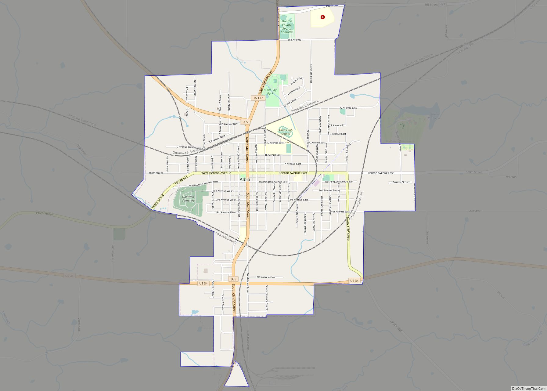
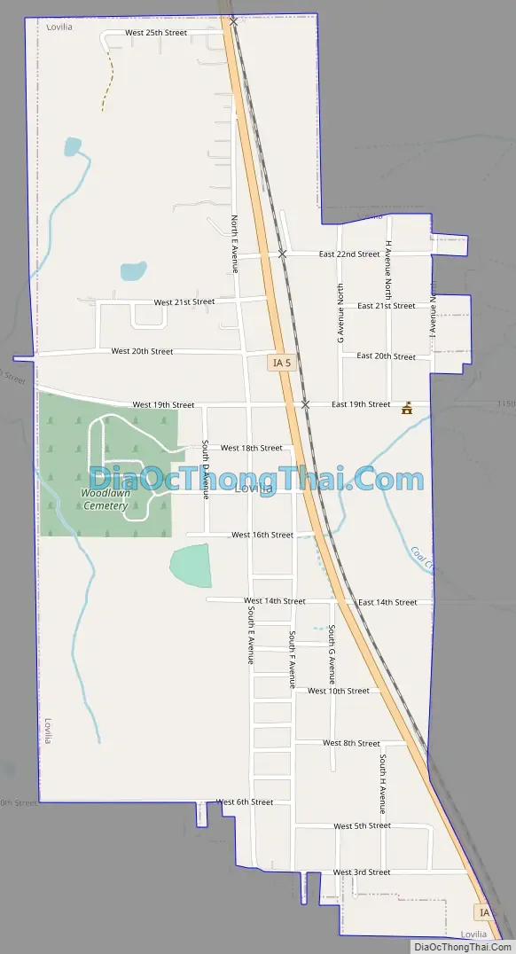
Lovilia Road Map
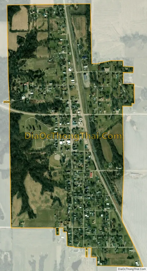
Lovilia city Satellite Map
Geography
Lovilia is located at 41°7′57″N 92°54′22″W / 41.13250°N 92.90611°W / 41.13250; -92.90611 (41.132617, -92.906167).
According to the United States Census Bureau, the city has a total area of 0.50 square miles (1.29 km), all land.
See also
Map of Iowa State and its subdivision:- Adair
- Adams
- Allamakee
- Appanoose
- Audubon
- Benton
- Black Hawk
- Boone
- Bremer
- Buchanan
- Buena Vista
- Butler
- Calhoun
- Carroll
- Cass
- Cedar
- Cerro Gordo
- Cherokee
- Chickasaw
- Clarke
- Clay
- Clayton
- Clinton
- Crawford
- Dallas
- Davis
- Decatur
- Delaware
- Des Moines
- Dickinson
- Dubuque
- Emmet
- Fayette
- Floyd
- Franklin
- Fremont
- Greene
- Grundy
- Guthrie
- Hamilton
- Hancock
- Hardin
- Harrison
- Henry
- Howard
- Humboldt
- Ida
- Iowa
- Jackson
- Jasper
- Jefferson
- Johnson
- Jones
- Keokuk
- Kossuth
- Lee
- Linn
- Louisa
- Lucas
- Lyon
- Madison
- Mahaska
- Marion
- Marshall
- Mills
- Mitchell
- Monona
- Monroe
- Montgomery
- Muscatine
- O'Brien
- Osceola
- Page
- Palo Alto
- Plymouth
- Pocahontas
- Polk
- Pottawattamie
- Poweshiek
- Ringgold
- Sac
- Scott
- Shelby
- Sioux
- Story
- Tama
- Taylor
- Union
- Van Buren
- Wapello
- Warren
- Washington
- Wayne
- Webster
- Winnebago
- Winneshiek
- Woodbury
- Worth
- Wright
- Alabama
- Alaska
- Arizona
- Arkansas
- California
- Colorado
- Connecticut
- Delaware
- District of Columbia
- Florida
- Georgia
- Hawaii
- Idaho
- Illinois
- Indiana
- Iowa
- Kansas
- Kentucky
- Louisiana
- Maine
- Maryland
- Massachusetts
- Michigan
- Minnesota
- Mississippi
- Missouri
- Montana
- Nebraska
- Nevada
- New Hampshire
- New Jersey
- New Mexico
- New York
- North Carolina
- North Dakota
- Ohio
- Oklahoma
- Oregon
- Pennsylvania
- Rhode Island
- South Carolina
- South Dakota
- Tennessee
- Texas
- Utah
- Vermont
- Virginia
- Washington
- West Virginia
- Wisconsin
- Wyoming