Lucas is a city in Lucas County, Iowa, United States. The population was 172 at the time of the 2020 census.
| Name: | Lucas city |
|---|---|
| LSAD Code: | 25 |
| LSAD Description: | city (suffix) |
| State: | Iowa |
| County: | Lucas County |
| Elevation: | 892 ft (272 m) |
| Total Area: | 0.99 sq mi (2.57 km²) |
| Land Area: | 0.98 sq mi (2.54 km²) |
| Water Area: | 0.01 sq mi (0.02 km²) |
| Total Population: | 172 |
| Population Density: | 175.15/sq mi (67.60/km²) |
| ZIP code: | 50151 |
| Area code: | 641 |
| FIPS code: | 1947100 |
| GNISfeature ID: | 0458673 |
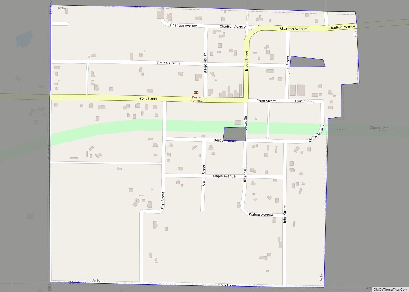
Online Interactive Map
Click on ![]() to view map in "full screen" mode.
to view map in "full screen" mode.
Lucas location map. Where is Lucas city?


History
The Burlington and Missouri River Railroad Company established a station at Lucas in 1866, named after Lucas County and Robert Lucas. A plat for the town was filed on May 9, 1868 and the town was incorporated on March 18, 1887. The town grew slowly until coal was discovered in the area.
In 1876, the Whitebreast Coal and Mining Company began working a 250-foot (76 m) shaft one mile (1.6 km) east of Lucas. This proved successful, and in 1878, they platted a company town there, which they named Cleveland 41°1′57.21″N 93°26′38.71″W / 41.0325583°N 93.4440861°W / 41.0325583; -93.4440861. By 1880, Cleveland had a population of 380, and the first mine was producing 650 to 700 tons of coal per day by the labor of 280 miners and 33 mule drivers. A second mine was opened 3/4 mile from the first, and the two mines sold coal to the Chicago, Burlington and Quincy Railroad, and several other railroads to the south and west. The Cleveland post office was open from 1877 to 1891 and then reopened between 1899 and 1908. Very little remained of Cleveland by the 1930s.
In 1893, the Lucas Coal Company was working a two-foot coal seam 83 feet (25 m) down, employing 24 men.
The Big Hill mine in Lucas worked a 4-foot-thick (1.2 m) coal seam 274 feet (84 m) below the surface using room and pillar methods, with a shaft not far from the Burlington station. This mine was closed in April 1904 and stripped of equipment, but by mid-1905, plans were in place to reopen it. The reopening lasted until 1907, when the mine was again closed, as the rock directly above the coal was sandstone and it was saturated with water. This mine is noteworthy because John L Lewis got his first coal mining job here, before going on to head the United Mine Workers of America.
United Mine Workers local 799 was organized in Lucas in 1899; its membership was 121 in 1902, but it fell to 57 in 1907 and just 24 in 1912. UMW local 1120 was organized in Cleveland in 1899; membership was 350 in 1902, fell to 125 in 1907 and no membership was reported in 1912. Mine wages varied from $2.36 to $2.56 per day in Cleveland in 1907 (there are no wage figures for Lucas that year).
In 1919, Lucas was home to the second most productive coal mine in Iowa, Mine No. 2 of the Central Iowa Fuel Company. This produced 217,169 tons of coal that year and employed 360 men. The last coal mine in the Lucas area was the Iowa-Nebraska Mine, closed in 1923. This mine was located about 1.5 miles (2.4 km) southwest of Lucas (41°0′50.65″N 93°28′50.03″W / 41.0140694°N 93.4805639°W / 41.0140694; -93.4805639). The former mine site is now in the Lucas Unit of the Stephens State Forest. The site is now the site of Mine Pond and the Mine Pond Campground in the state forest. This forest was a base of operations for the Civilian Conservation Corps in the 1930s. The CCC established the pine and hardwood forest that now dominates this land.
Lucas Road Map

Lucas city Satellite Map

Geography
Lucas’s longitude and latitude coordinates in decimal form are 41.029843, −93.461595.
Lucas is located on the north bank of White Breast Creek, a tributary of the Des Moines River that flows east through the Southern Iowa drift plain.
According to the United States Census Bureau, the city has a total area of 0.98 square miles (2.54 km), of which 0.97 square miles (2.51 km) is land and 0.01 square miles (0.03 km) is water.
See also
Map of Iowa State and its subdivision:- Adair
- Adams
- Allamakee
- Appanoose
- Audubon
- Benton
- Black Hawk
- Boone
- Bremer
- Buchanan
- Buena Vista
- Butler
- Calhoun
- Carroll
- Cass
- Cedar
- Cerro Gordo
- Cherokee
- Chickasaw
- Clarke
- Clay
- Clayton
- Clinton
- Crawford
- Dallas
- Davis
- Decatur
- Delaware
- Des Moines
- Dickinson
- Dubuque
- Emmet
- Fayette
- Floyd
- Franklin
- Fremont
- Greene
- Grundy
- Guthrie
- Hamilton
- Hancock
- Hardin
- Harrison
- Henry
- Howard
- Humboldt
- Ida
- Iowa
- Jackson
- Jasper
- Jefferson
- Johnson
- Jones
- Keokuk
- Kossuth
- Lee
- Linn
- Louisa
- Lucas
- Lyon
- Madison
- Mahaska
- Marion
- Marshall
- Mills
- Mitchell
- Monona
- Monroe
- Montgomery
- Muscatine
- O'Brien
- Osceola
- Page
- Palo Alto
- Plymouth
- Pocahontas
- Polk
- Pottawattamie
- Poweshiek
- Ringgold
- Sac
- Scott
- Shelby
- Sioux
- Story
- Tama
- Taylor
- Union
- Van Buren
- Wapello
- Warren
- Washington
- Wayne
- Webster
- Winnebago
- Winneshiek
- Woodbury
- Worth
- Wright
- Alabama
- Alaska
- Arizona
- Arkansas
- California
- Colorado
- Connecticut
- Delaware
- District of Columbia
- Florida
- Georgia
- Hawaii
- Idaho
- Illinois
- Indiana
- Iowa
- Kansas
- Kentucky
- Louisiana
- Maine
- Maryland
- Massachusetts
- Michigan
- Minnesota
- Mississippi
- Missouri
- Montana
- Nebraska
- Nevada
- New Hampshire
- New Jersey
- New Mexico
- New York
- North Carolina
- North Dakota
- Ohio
- Oklahoma
- Oregon
- Pennsylvania
- Rhode Island
- South Carolina
- South Dakota
- Tennessee
- Texas
- Utah
- Vermont
- Virginia
- Washington
- West Virginia
- Wisconsin
- Wyoming