Mediapolis is a city in Des Moines County, Iowa, United States. Its population was 1,688 at the time of the 2020 census. It is part of the Burlington, IA–IL Micropolitan Statistical Area.
| Name: | Mediapolis city |
|---|---|
| LSAD Code: | 25 |
| LSAD Description: | city (suffix) |
| State: | Iowa |
| County: | Des Moines County |
| Elevation: | 771 ft (235 m) |
| Total Area: | 1.20 sq mi (3.11 km²) |
| Land Area: | 1.20 sq mi (3.11 km²) |
| Water Area: | 0.00 sq mi (0.00 km²) |
| Total Population: | 1,688 |
| Population Density: | 1,406.67/sq mi (543.13/km²) |
| ZIP code: | 52637 |
| Area code: | 319 |
| FIPS code: | 1950790 |
| GNISfeature ID: | 0458946 |
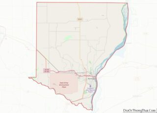
Online Interactive Map
Click on ![]() to view map in "full screen" mode.
to view map in "full screen" mode.
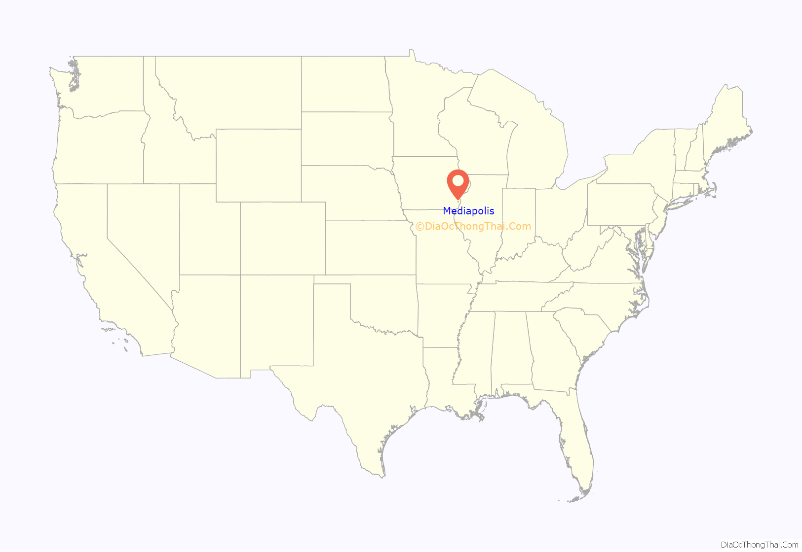
Mediapolis location map. Where is Mediapolis city?
History
Mediapolis was founded in the year 1869. It was first a train station for the city of Kossuth, Iowa at a point on the Burlington, Cedar Rapids and Minnesota Railway (later part of the Chicago, Rock Island and Pacific) between Burlington and Wapello. Media, meaning “middle,” was appended to polis, meaning “village,” as Mediapolis is halfway between Wapello and Burlington.
From 1875 to the mid 20th century, Mediapolis was a railroad junction where the Burlington and Northwestern Railway to Washington (later a branch of the Chicago, Burlington and Quincy) met the original north–south line.
The Rock Island Railroad ceased operation in 1980, leading to the abandonment of the north–south line through Mediapolis. One heavy industry remains two miles southwest of town, the United States Gypsum Sperry mine. This is a shaft mine 620 feet deep, opened in 1961 and employing approximately 200 people as of 2010. Of these, only 25 to 50 actually work in the mine. Underground, the mine extends 1.5 miles west and 1.75 miles south of the shaft. This is a room and pillar mine with 37-foot pillars separating roads 37 feet wide on a square grid.
On August 10, 1998, former NFL running back Tony Baker was killed on U.S. Route 61, just south of Mediapolis.
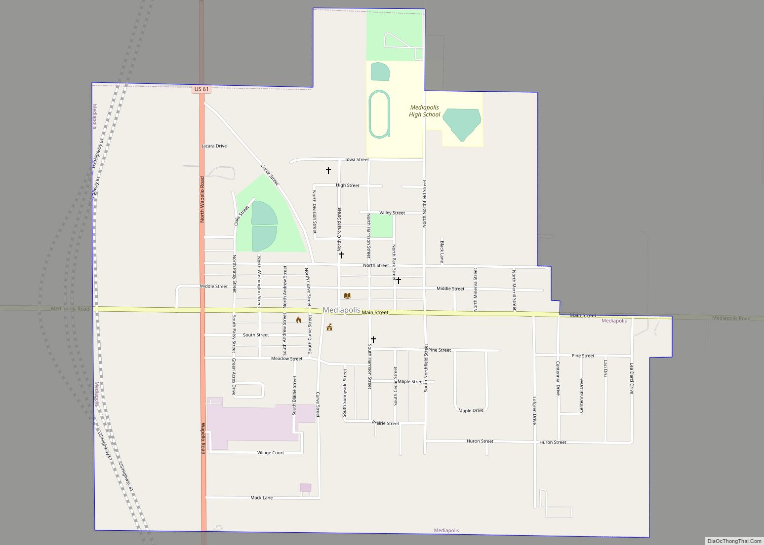
Mediapolis Road Map
Mediapolis city Satellite Map
Geography
Mediapolis’s longitude and latitude coordinates are 41°00′30″N 91°09′53″W / 41.008233°N 91.164838°W / 41.008233; -91.164838.
According to the United States Census Bureau, the city has a total area of 1.20 square miles (3.11 km), all land.
See also
Map of Iowa State and its subdivision:- Adair
- Adams
- Allamakee
- Appanoose
- Audubon
- Benton
- Black Hawk
- Boone
- Bremer
- Buchanan
- Buena Vista
- Butler
- Calhoun
- Carroll
- Cass
- Cedar
- Cerro Gordo
- Cherokee
- Chickasaw
- Clarke
- Clay
- Clayton
- Clinton
- Crawford
- Dallas
- Davis
- Decatur
- Delaware
- Des Moines
- Dickinson
- Dubuque
- Emmet
- Fayette
- Floyd
- Franklin
- Fremont
- Greene
- Grundy
- Guthrie
- Hamilton
- Hancock
- Hardin
- Harrison
- Henry
- Howard
- Humboldt
- Ida
- Iowa
- Jackson
- Jasper
- Jefferson
- Johnson
- Jones
- Keokuk
- Kossuth
- Lee
- Linn
- Louisa
- Lucas
- Lyon
- Madison
- Mahaska
- Marion
- Marshall
- Mills
- Mitchell
- Monona
- Monroe
- Montgomery
- Muscatine
- O'Brien
- Osceola
- Page
- Palo Alto
- Plymouth
- Pocahontas
- Polk
- Pottawattamie
- Poweshiek
- Ringgold
- Sac
- Scott
- Shelby
- Sioux
- Story
- Tama
- Taylor
- Union
- Van Buren
- Wapello
- Warren
- Washington
- Wayne
- Webster
- Winnebago
- Winneshiek
- Woodbury
- Worth
- Wright
- Alabama
- Alaska
- Arizona
- Arkansas
- California
- Colorado
- Connecticut
- Delaware
- District of Columbia
- Florida
- Georgia
- Hawaii
- Idaho
- Illinois
- Indiana
- Iowa
- Kansas
- Kentucky
- Louisiana
- Maine
- Maryland
- Massachusetts
- Michigan
- Minnesota
- Mississippi
- Missouri
- Montana
- Nebraska
- Nevada
- New Hampshire
- New Jersey
- New Mexico
- New York
- North Carolina
- North Dakota
- Ohio
- Oklahoma
- Oregon
- Pennsylvania
- Rhode Island
- South Carolina
- South Dakota
- Tennessee
- Texas
- Utah
- Vermont
- Virginia
- Washington
- West Virginia
- Wisconsin
- Wyoming
