Mingo is a city in Jasper County, Iowa, United States. The population was 302 at the time of the 2020 census.
| Name: | Mingo city |
|---|---|
| LSAD Code: | 25 |
| LSAD Description: | city (suffix) |
| State: | Iowa |
| County: | Jasper County |
| Elevation: | 837 ft (255 m) |
| Total Area: | 0.62 sq mi (1.60 km²) |
| Land Area: | 0.62 sq mi (1.60 km²) |
| Water Area: | 0.00 sq mi (0.00 km²) |
| Total Population: | 302 |
| Population Density: | 490.26/sq mi (189.27/km²) |
| ZIP code: | 50168 |
| Area code: | 641 |
| FIPS code: | 1952815 |
| GNISfeature ID: | 0459132 |
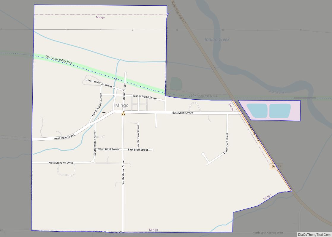
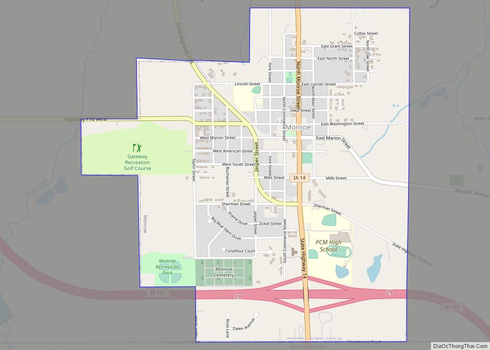
Online Interactive Map
Click on ![]() to view map in "full screen" mode.
to view map in "full screen" mode.
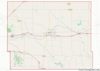
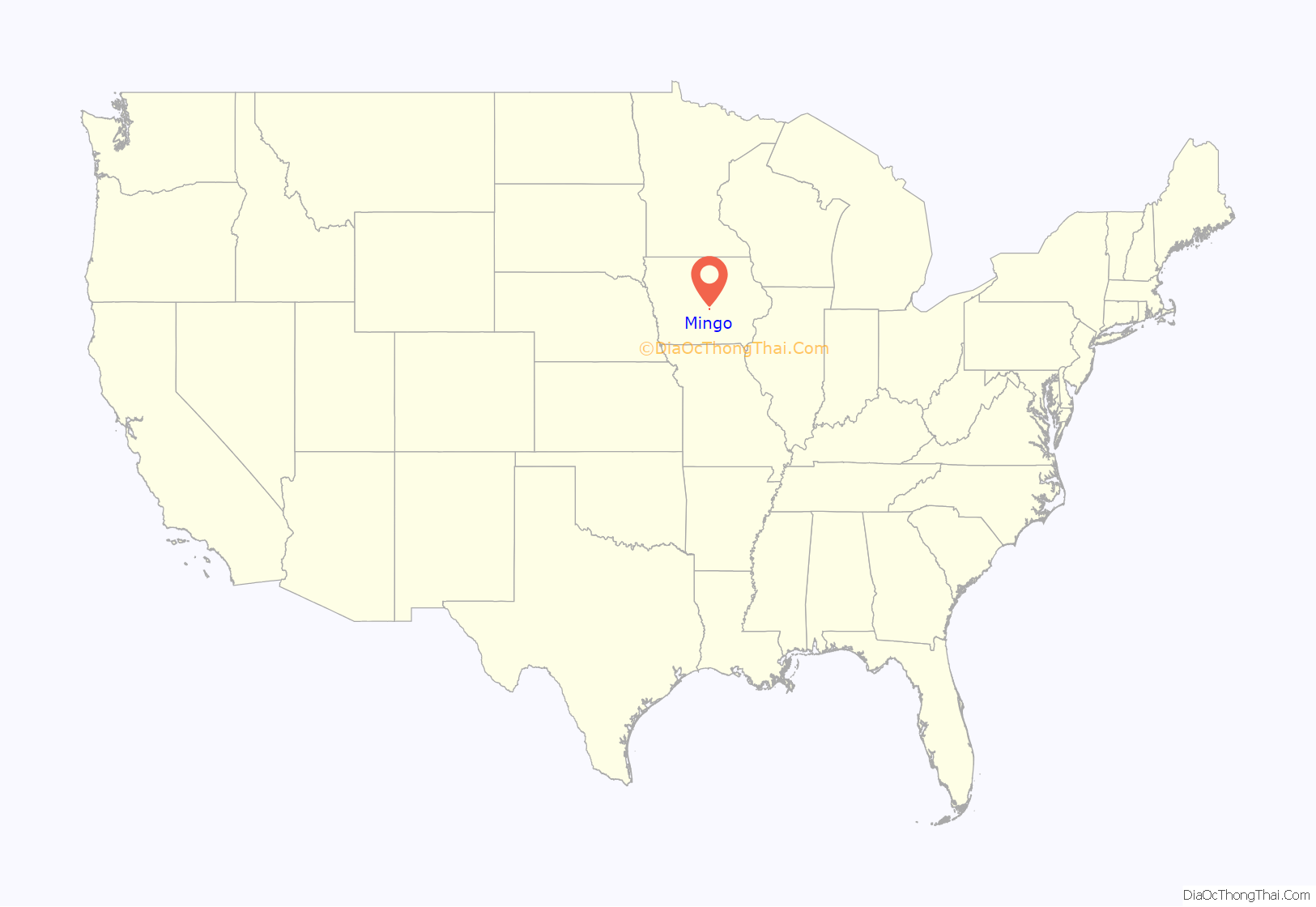
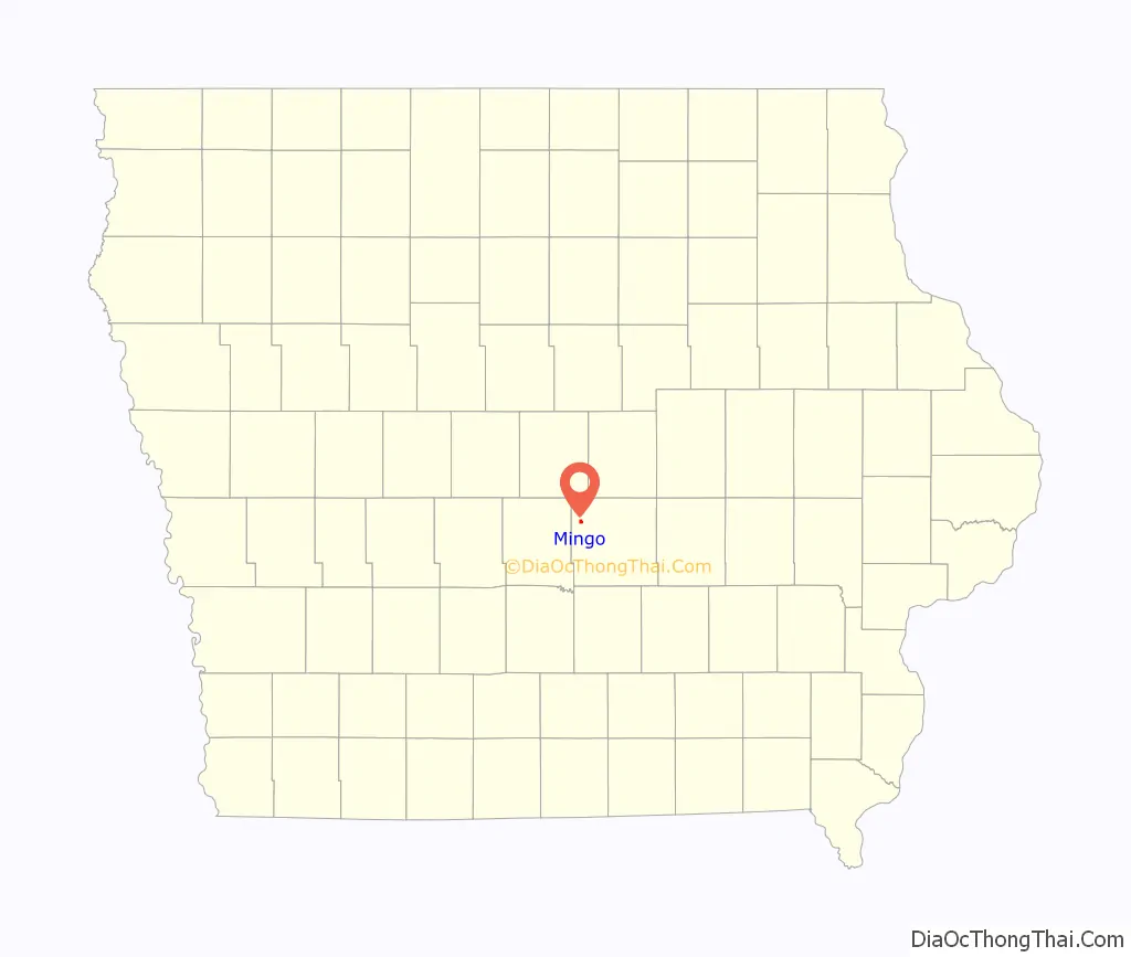
Mingo location map. Where is Mingo city?
History
Mingo was platted in 1884. It is named from Mingo, Ohio, a city name derived from the historic Iroquoian Mingo people.
The city was originally established as a coal mining community, along with many of its neighboring communities.
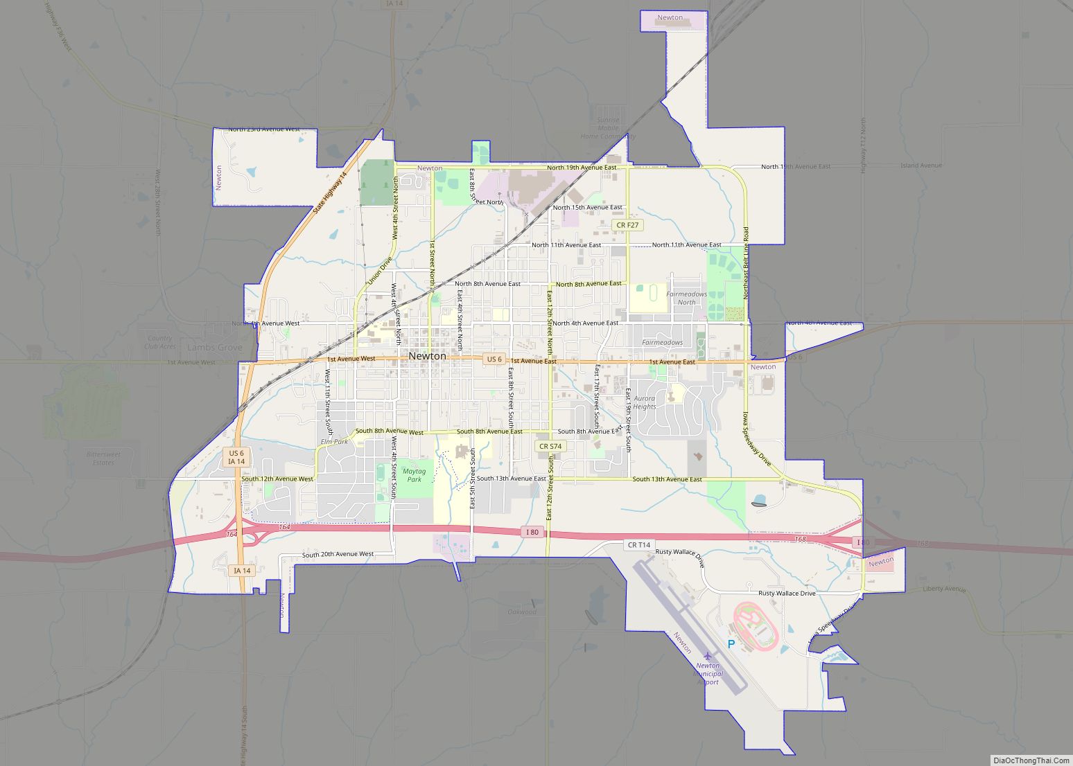
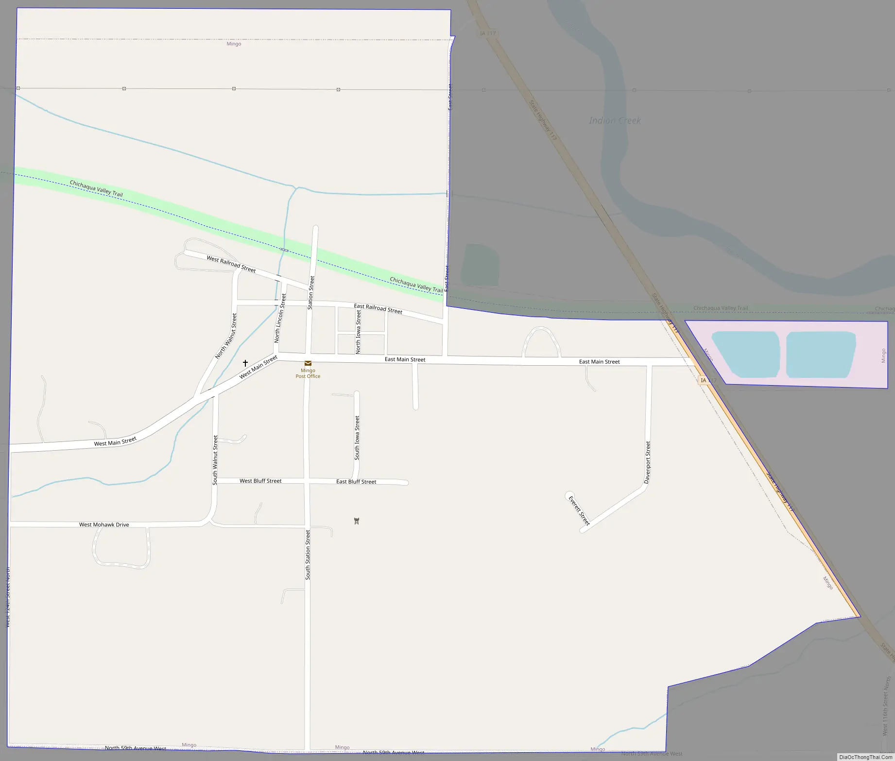
Mingo Road Map
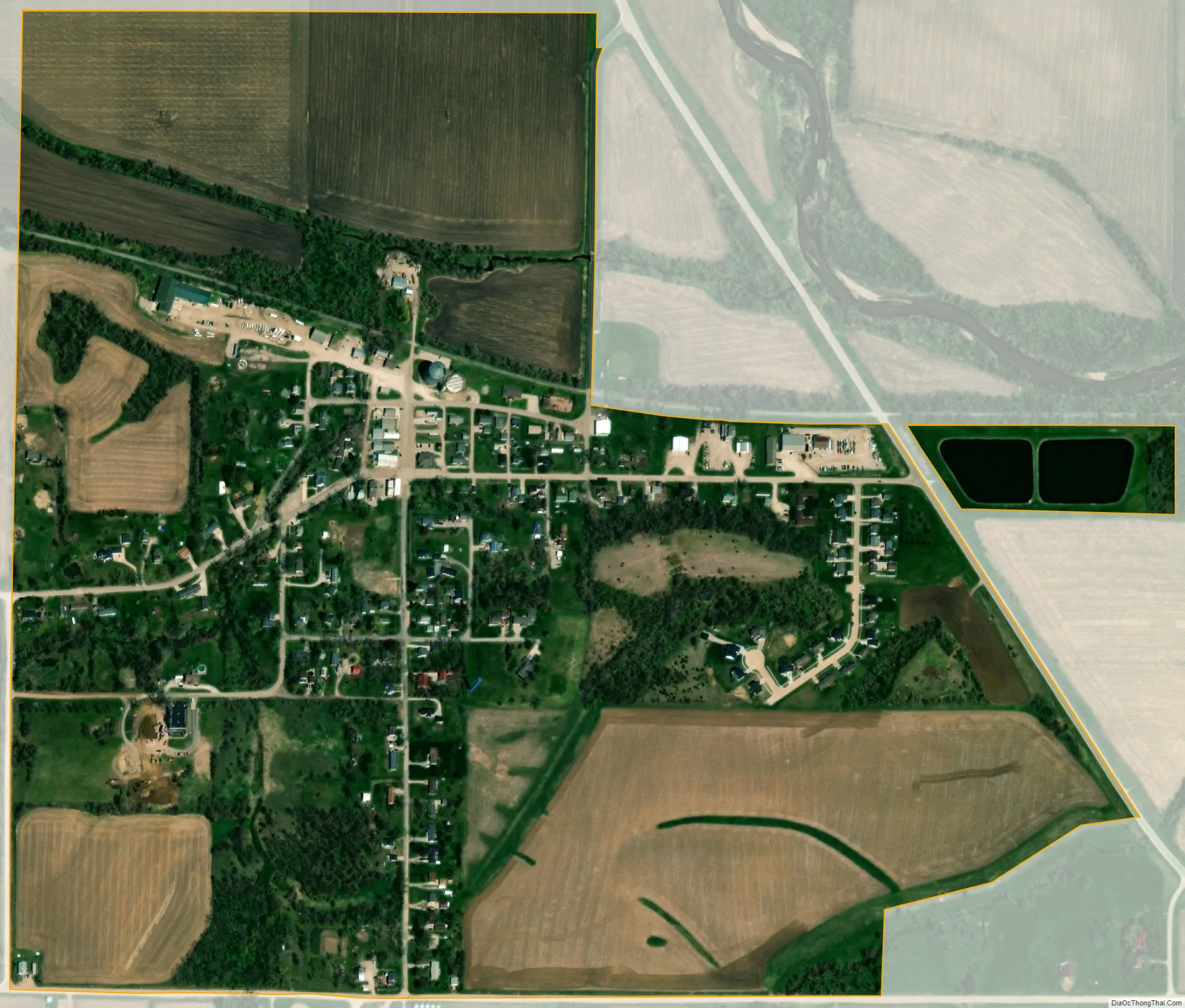
Mingo city Satellite Map
Geography
Mingo is located at 41°46′4″N 93°17′2″W / 41.76778°N 93.28389°W / 41.76778; -93.28389 (41.767764, -93.283772).
According to the United States Census Bureau, the city has a total area of 0.61 square miles (1.58 km), all land.
See also
Map of Iowa State and its subdivision:- Adair
- Adams
- Allamakee
- Appanoose
- Audubon
- Benton
- Black Hawk
- Boone
- Bremer
- Buchanan
- Buena Vista
- Butler
- Calhoun
- Carroll
- Cass
- Cedar
- Cerro Gordo
- Cherokee
- Chickasaw
- Clarke
- Clay
- Clayton
- Clinton
- Crawford
- Dallas
- Davis
- Decatur
- Delaware
- Des Moines
- Dickinson
- Dubuque
- Emmet
- Fayette
- Floyd
- Franklin
- Fremont
- Greene
- Grundy
- Guthrie
- Hamilton
- Hancock
- Hardin
- Harrison
- Henry
- Howard
- Humboldt
- Ida
- Iowa
- Jackson
- Jasper
- Jefferson
- Johnson
- Jones
- Keokuk
- Kossuth
- Lee
- Linn
- Louisa
- Lucas
- Lyon
- Madison
- Mahaska
- Marion
- Marshall
- Mills
- Mitchell
- Monona
- Monroe
- Montgomery
- Muscatine
- O'Brien
- Osceola
- Page
- Palo Alto
- Plymouth
- Pocahontas
- Polk
- Pottawattamie
- Poweshiek
- Ringgold
- Sac
- Scott
- Shelby
- Sioux
- Story
- Tama
- Taylor
- Union
- Van Buren
- Wapello
- Warren
- Washington
- Wayne
- Webster
- Winnebago
- Winneshiek
- Woodbury
- Worth
- Wright
- Alabama
- Alaska
- Arizona
- Arkansas
- California
- Colorado
- Connecticut
- Delaware
- District of Columbia
- Florida
- Georgia
- Hawaii
- Idaho
- Illinois
- Indiana
- Iowa
- Kansas
- Kentucky
- Louisiana
- Maine
- Maryland
- Massachusetts
- Michigan
- Minnesota
- Mississippi
- Missouri
- Montana
- Nebraska
- Nevada
- New Hampshire
- New Jersey
- New Mexico
- New York
- North Carolina
- North Dakota
- Ohio
- Oklahoma
- Oregon
- Pennsylvania
- Rhode Island
- South Carolina
- South Dakota
- Tennessee
- Texas
- Utah
- Vermont
- Virginia
- Washington
- West Virginia
- Wisconsin
- Wyoming