Mount Sterling is a census-designated place in Van Buren County, Iowa, United States. The population was 36 at the 2010 census.
| Name: | Mount Sterling CDP |
|---|---|
| LSAD Code: | 57 |
| LSAD Description: | CDP (suffix) |
| State: | Iowa |
| County: | Van Buren County |
| Elevation: | 676 ft (206 m) |
| Total Area: | 0.32 sq mi (0.82 km²) |
| Land Area: | 0.32 sq mi (0.82 km²) |
| Water Area: | 0.00 sq mi (0.00 km²) |
| Total Population: | 33 |
| Population Density: | 104.76/sq mi (40.46/km²) |
| ZIP code: | 52573 |
| Area code: | 319 |
| FIPS code: | 1954750 |
| GNISfeature ID: | 0459338 |
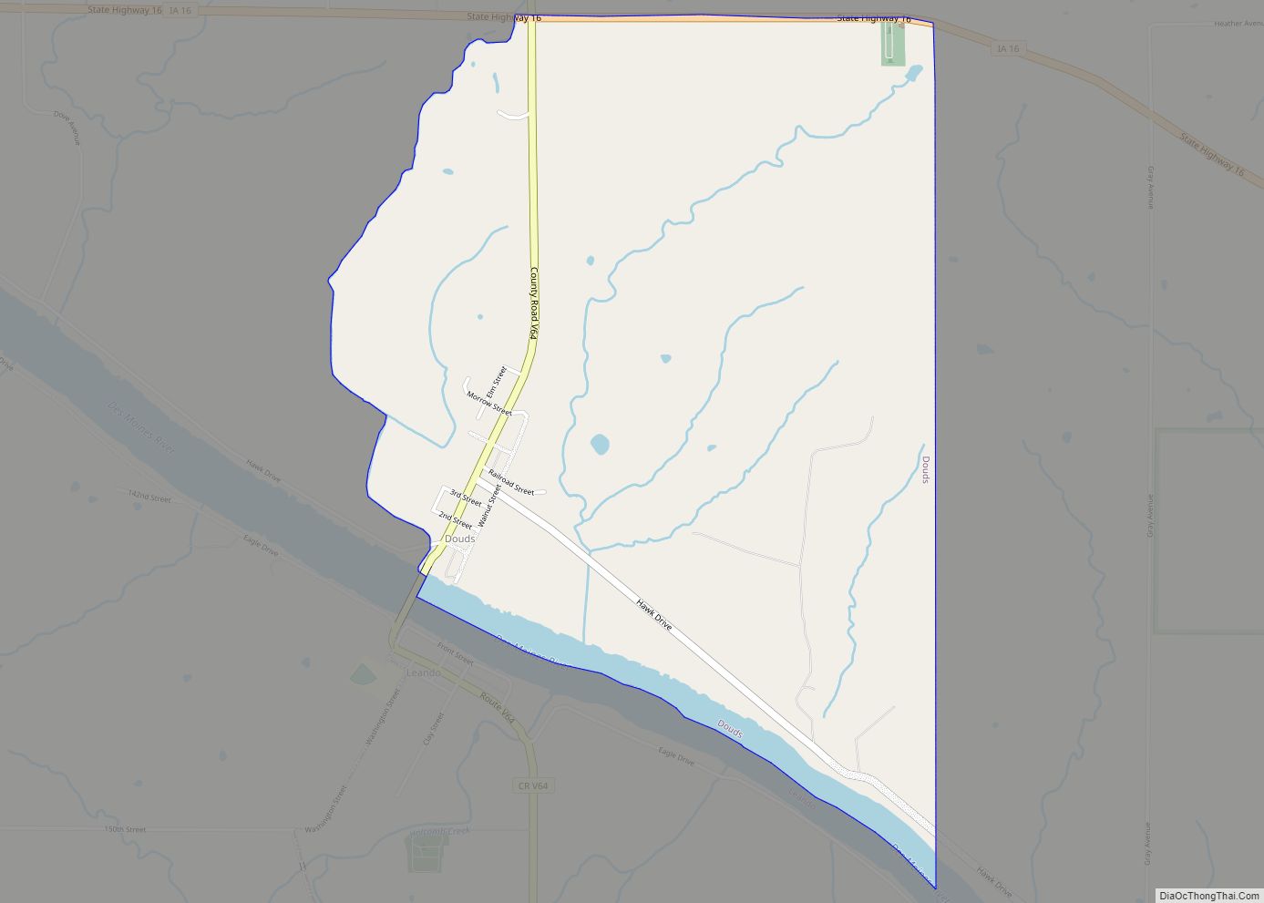
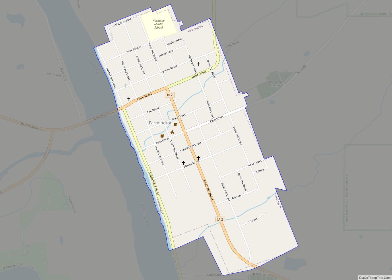
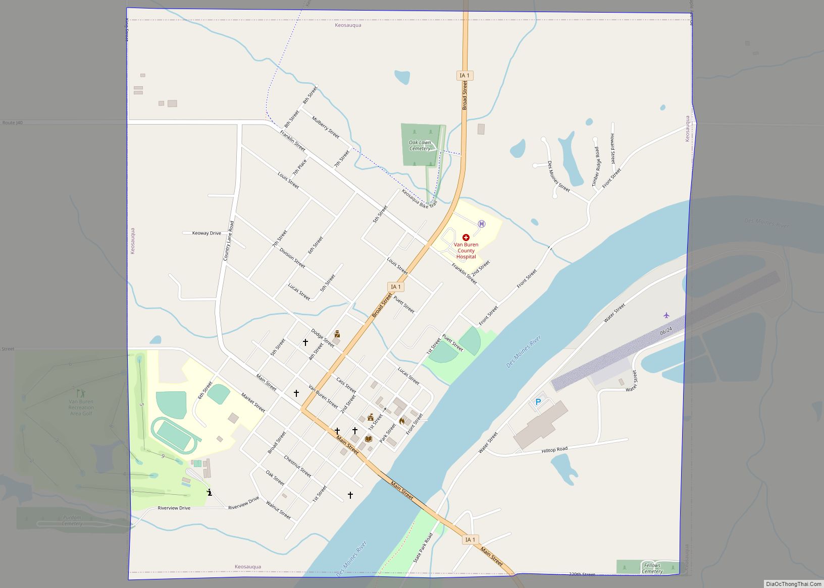
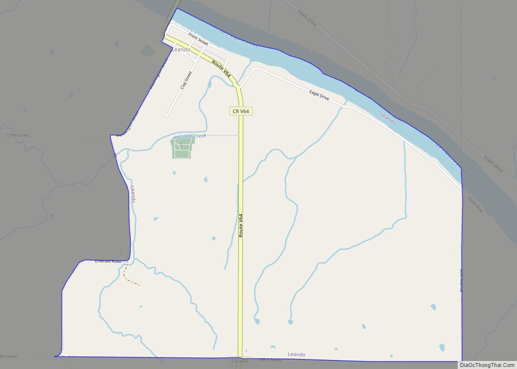
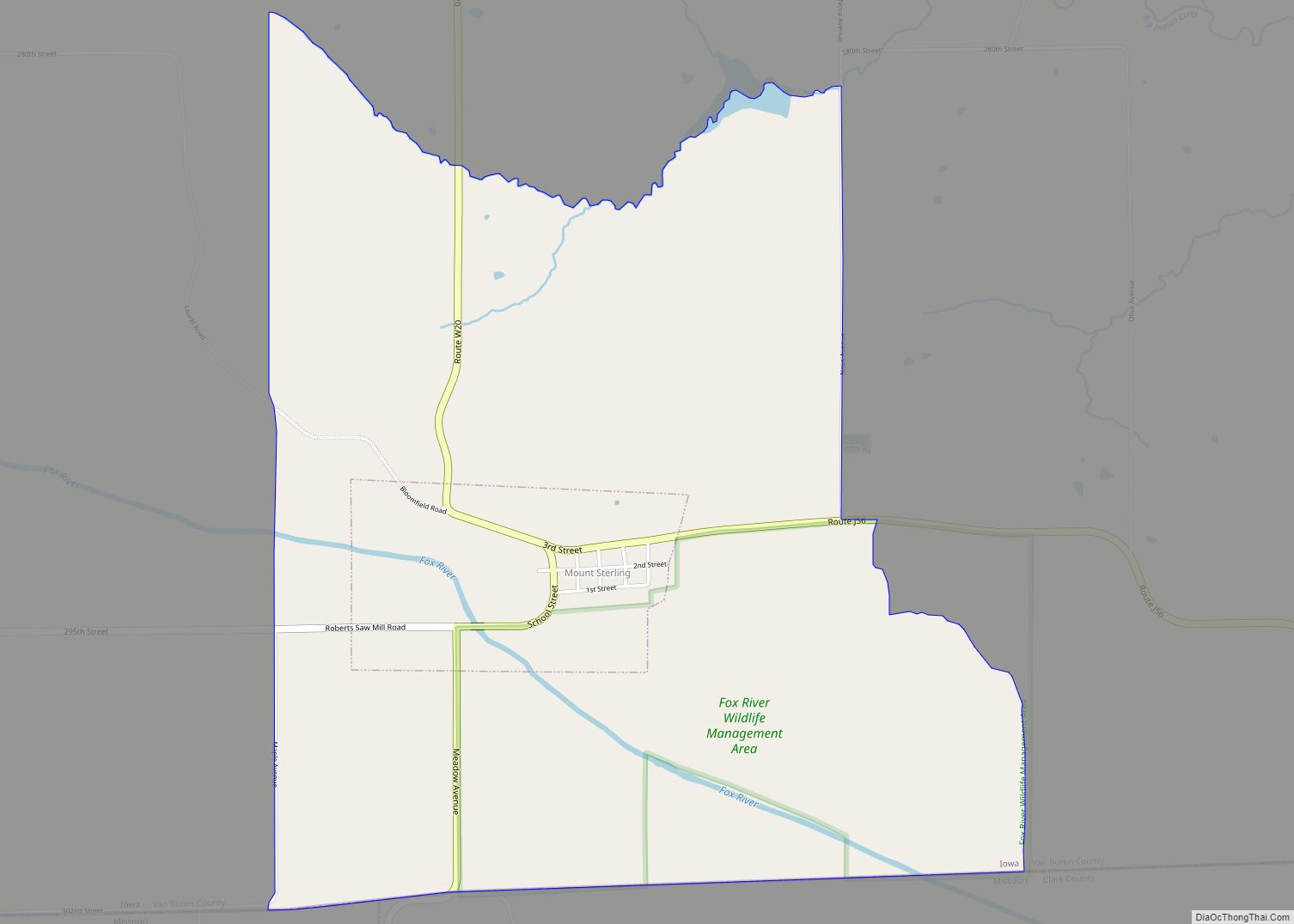
Online Interactive Map
Click on ![]() to view map in "full screen" mode.
to view map in "full screen" mode.
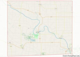
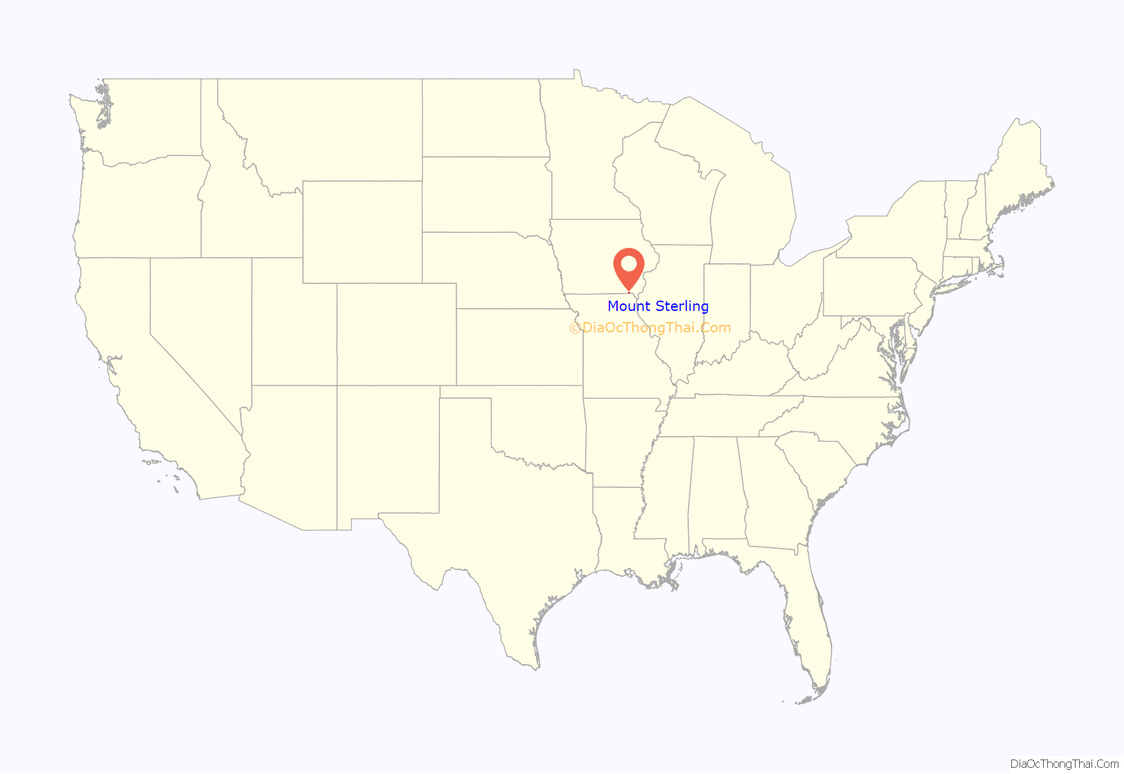
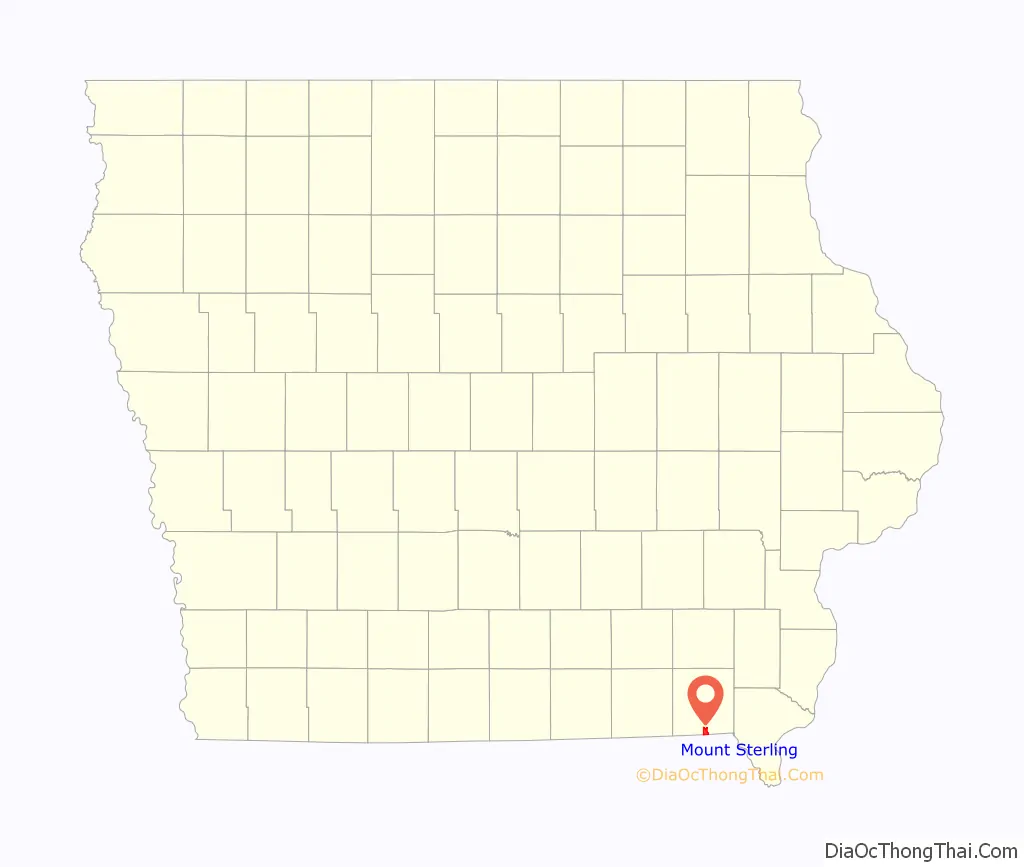
Mount Sterling location map. Where is Mount Sterling CDP?
History
Mount Sterling was first settled in the late 1830s when George and Horace Wood established a sawmill and corn-cracker to serve the small farms of southern Van Buren County and the northern portion of nearby Scotland County, Missouri. Within a decade the Woods were joined by several other businesses. At first, the small village had no official name and was often referred to as “Dogtown” by the early residents. This came from the fact that nearly every farmer who came to the mill brought at least two or three dogs along, and also from the fact that Horace Wood had three hounds who loved to devour the corn meal as it left the grinder.
Other early names for the village were Wood’s Mill and Union Corners until finally Mount Sterling was selected. A steam-powered flour mill was erected in 1855, but the lack of business forced ts closure and relocation to Keokuk, Iowa in 1861. Other industry and business included a distillery, a second sawmill, a barrel hoop factory, a blacksmith, several general mercantile stores, a shoemaker and a lumber yard. In addition to establishing the first sawmill, George Wood also built and operated the town’s first inn and served as the area’s first postmaster. The first child born in the town was to Dr Joel Knight, a purveyor of a patent medicine product known as “Dr Joel Knight’s Celebrated Screw Auger Pills.” The first school was built in the area in 1841.
Mount Sterling never exceeded more than 300 residents. After incorporation in 1907, the town reported a peak population of 232 souls in the 1910 U.S. Census. The population of the town and surrounding farms continued to dwindle throughout the 20th century, particularly after World War II, leading to business closures. Mount Sterling became something of a bedroom community with residents forced to find work in larger area towns like Keosauqua, Keokuk, and Fairfield Iowa. Current-day Mount Sterling has only two businesses, a bar & grill and an auto repair shop, and a hunting lodge. The town made national news in 2003 after then-Mayor Jo Hamlett proposed an ordinance that would fine residents and visitors for lying. Although in made in jest, the proposal pointed out the chronic lack of cash in a town whose yearly budget never exceeded $5,000. The story of the ordinance was covered by news outlets as far away as Australia..
In April 2012 the Mount Sterling city council voted to disband the town, the first Iowa town to take such a step since 2005. No candidates filed to run for Mayor or city council in the November 2011 election, prompting the vote to become an unincorporated area of Van Buren County. The county government will take over all street maintenance and the towns street lights will be discontinued. The towns’ sewer system will continue to be operated by the county. The city officially became unincorporated on November 11, 2012, when the Community Development Board of the Iowa Economic Development Authority voted unanimously to accept the city’s resolution of discontinuance.
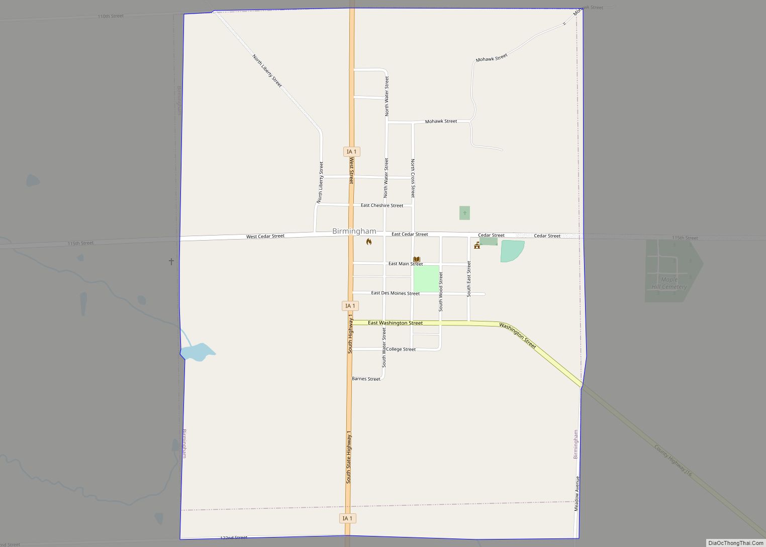
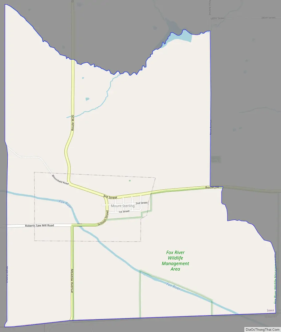
Mount Sterling Road Map
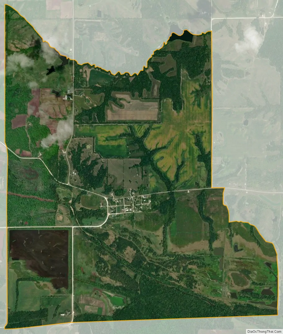
Mount Sterling city Satellite Map
Geography
Mount Sterling is located in south-central Van Buren County less than one mile north of the Iowa-Missouri border. The Fox River flows past the southwest side of the community and the Fox River Water Management Area is adjacent to the south.
According to the United States Census Bureau, the city has a total area of 0.40 square miles (1.04 km), all land.
See also
Map of Iowa State and its subdivision:- Adair
- Adams
- Allamakee
- Appanoose
- Audubon
- Benton
- Black Hawk
- Boone
- Bremer
- Buchanan
- Buena Vista
- Butler
- Calhoun
- Carroll
- Cass
- Cedar
- Cerro Gordo
- Cherokee
- Chickasaw
- Clarke
- Clay
- Clayton
- Clinton
- Crawford
- Dallas
- Davis
- Decatur
- Delaware
- Des Moines
- Dickinson
- Dubuque
- Emmet
- Fayette
- Floyd
- Franklin
- Fremont
- Greene
- Grundy
- Guthrie
- Hamilton
- Hancock
- Hardin
- Harrison
- Henry
- Howard
- Humboldt
- Ida
- Iowa
- Jackson
- Jasper
- Jefferson
- Johnson
- Jones
- Keokuk
- Kossuth
- Lee
- Linn
- Louisa
- Lucas
- Lyon
- Madison
- Mahaska
- Marion
- Marshall
- Mills
- Mitchell
- Monona
- Monroe
- Montgomery
- Muscatine
- O'Brien
- Osceola
- Page
- Palo Alto
- Plymouth
- Pocahontas
- Polk
- Pottawattamie
- Poweshiek
- Ringgold
- Sac
- Scott
- Shelby
- Sioux
- Story
- Tama
- Taylor
- Union
- Van Buren
- Wapello
- Warren
- Washington
- Wayne
- Webster
- Winnebago
- Winneshiek
- Woodbury
- Worth
- Wright
- Alabama
- Alaska
- Arizona
- Arkansas
- California
- Colorado
- Connecticut
- Delaware
- District of Columbia
- Florida
- Georgia
- Hawaii
- Idaho
- Illinois
- Indiana
- Iowa
- Kansas
- Kentucky
- Louisiana
- Maine
- Maryland
- Massachusetts
- Michigan
- Minnesota
- Mississippi
- Missouri
- Montana
- Nebraska
- Nevada
- New Hampshire
- New Jersey
- New Mexico
- New York
- North Carolina
- North Dakota
- Ohio
- Oklahoma
- Oregon
- Pennsylvania
- Rhode Island
- South Carolina
- South Dakota
- Tennessee
- Texas
- Utah
- Vermont
- Virginia
- Washington
- West Virginia
- Wisconsin
- Wyoming