Odebolt is a city in Sac County, Iowa, United States. The population was 994 at the time of the 2020 census.
| Name: | Odebolt city |
|---|---|
| LSAD Code: | 25 |
| LSAD Description: | city (suffix) |
| State: | Iowa |
| County: | Sac County |
| Elevation: | 1,362 ft (415 m) |
| Total Area: | 1.03 sq mi (2.67 km²) |
| Land Area: | 1.03 sq mi (2.67 km²) |
| Water Area: | 0.00 sq mi (0.00 km²) |
| Total Population: | 994 |
| Population Density: | 963.18/sq mi (371.72/km²) |
| ZIP code: | 51458 |
| Area code: | 712 |
| FIPS code: | 1958575 |
| GNISfeature ID: | 0459799 |
| Website: | www.odebolt.net |
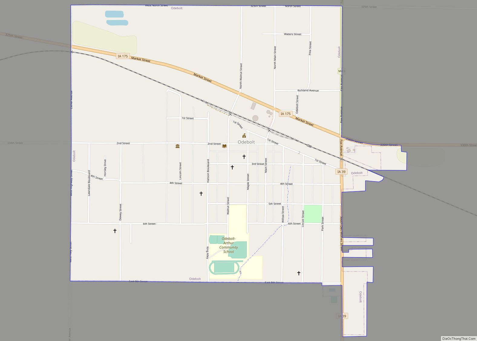
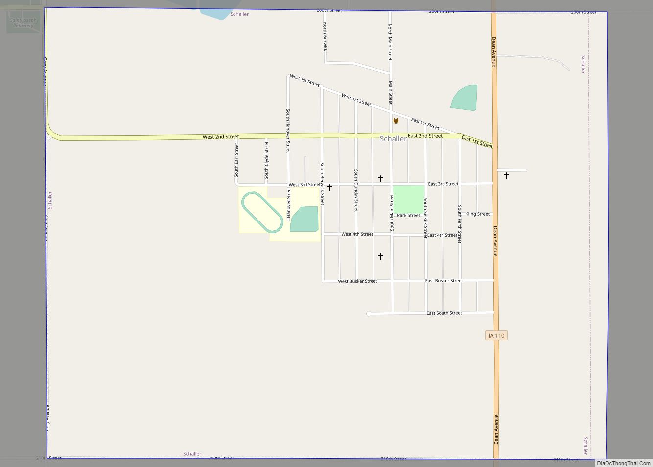
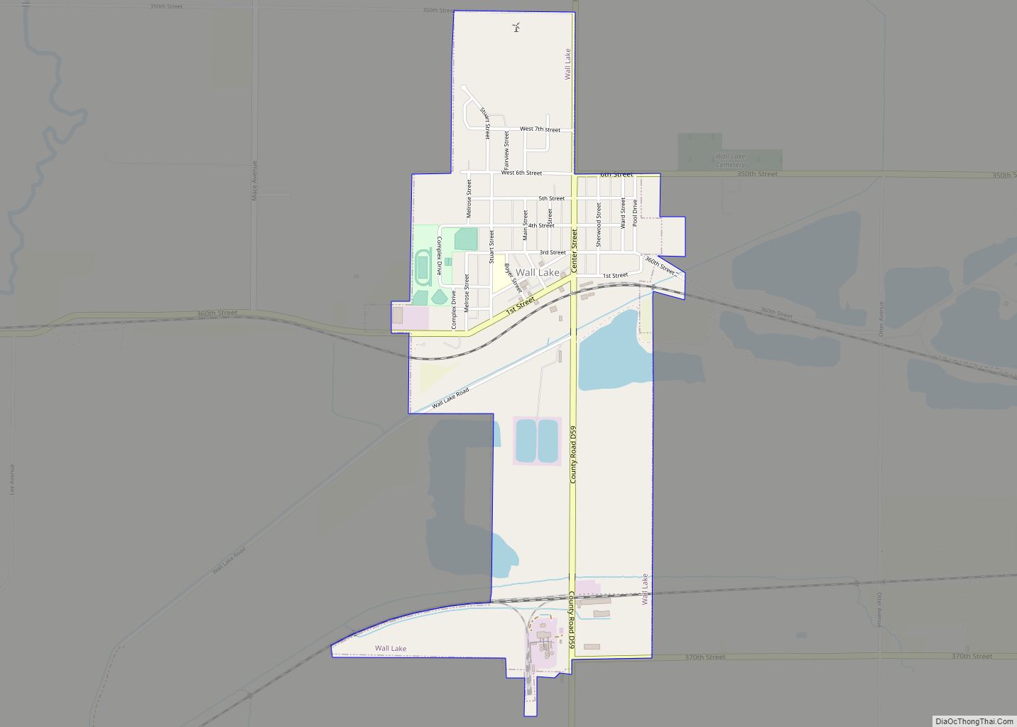
Online Interactive Map
Click on ![]() to view map in "full screen" mode.
to view map in "full screen" mode.
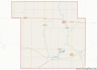
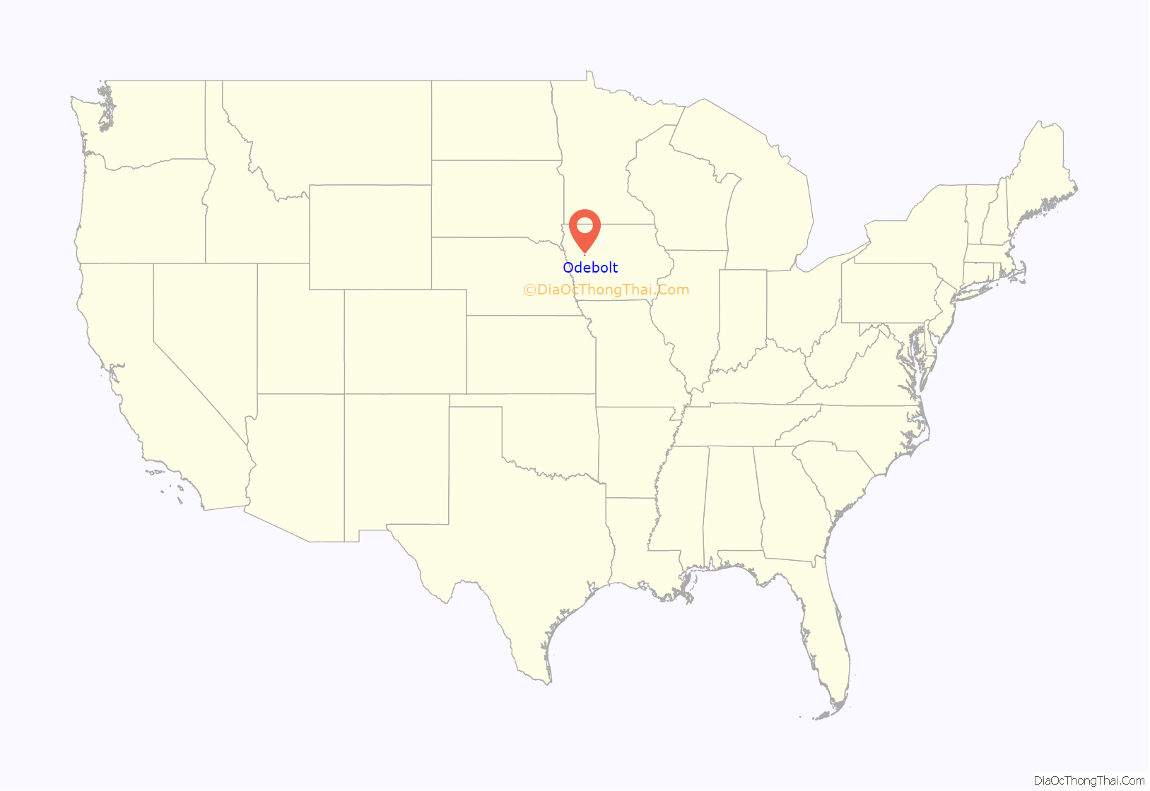
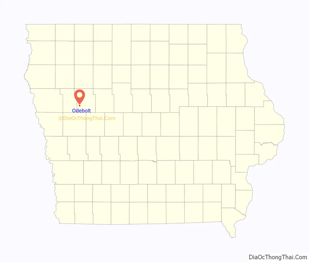
Odebolt location map. Where is Odebolt city?
History
Odebolt was platted in 1877 when the Chicago & Northwestern Railway was extended to that point. Odebolt was incorporated as a city May 13, 1878.
While the etymology of Odebolt’s unusual name is unquestioned — being named after the Odebolt Creek — the etymology of the creek’s name is disputed. It has been ascribed to a story of a French fur trapper and to multiple stories of a bolt falling in the creek. The trapper’s name was reportedly Odebeau, and his name corrupted.
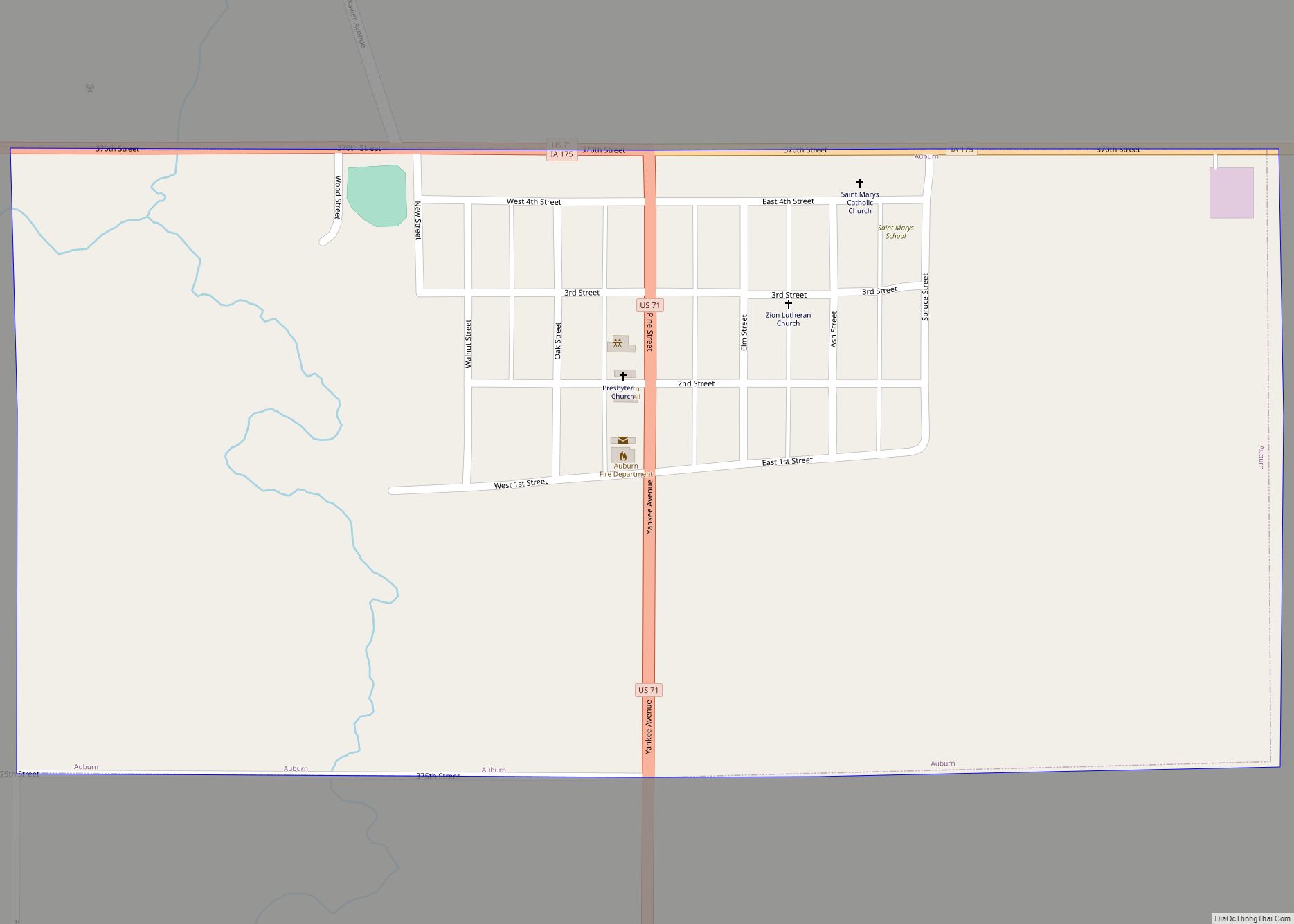
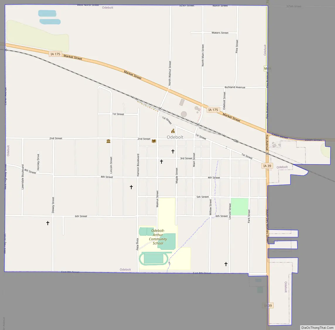
Odebolt Road Map
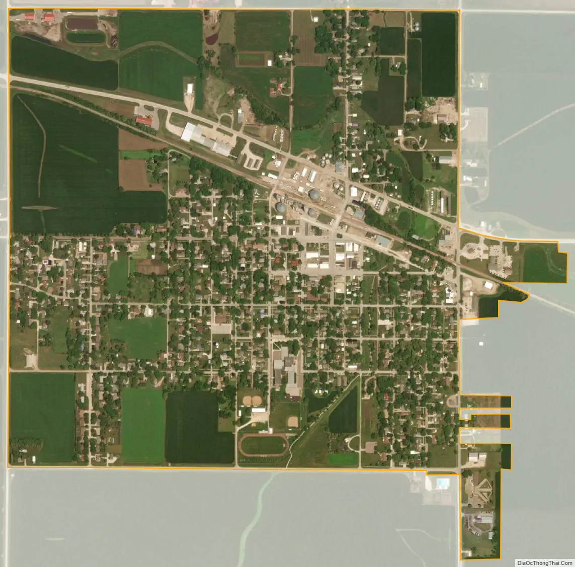
Odebolt city Satellite Map
Geography
Odebolt is located at 42°18′37″N 95°15′5″W / 42.31028°N 95.25139°W / 42.31028; -95.25139 (42.310416, -95.251354). Odebolt Creek arises near here, flows through Ida Grove, then into the Maple River.
According to the United States Census Bureau, the city has a total area of 1.05 square miles (2.72 km), all land.
See also
Map of Iowa State and its subdivision:- Adair
- Adams
- Allamakee
- Appanoose
- Audubon
- Benton
- Black Hawk
- Boone
- Bremer
- Buchanan
- Buena Vista
- Butler
- Calhoun
- Carroll
- Cass
- Cedar
- Cerro Gordo
- Cherokee
- Chickasaw
- Clarke
- Clay
- Clayton
- Clinton
- Crawford
- Dallas
- Davis
- Decatur
- Delaware
- Des Moines
- Dickinson
- Dubuque
- Emmet
- Fayette
- Floyd
- Franklin
- Fremont
- Greene
- Grundy
- Guthrie
- Hamilton
- Hancock
- Hardin
- Harrison
- Henry
- Howard
- Humboldt
- Ida
- Iowa
- Jackson
- Jasper
- Jefferson
- Johnson
- Jones
- Keokuk
- Kossuth
- Lee
- Linn
- Louisa
- Lucas
- Lyon
- Madison
- Mahaska
- Marion
- Marshall
- Mills
- Mitchell
- Monona
- Monroe
- Montgomery
- Muscatine
- O'Brien
- Osceola
- Page
- Palo Alto
- Plymouth
- Pocahontas
- Polk
- Pottawattamie
- Poweshiek
- Ringgold
- Sac
- Scott
- Shelby
- Sioux
- Story
- Tama
- Taylor
- Union
- Van Buren
- Wapello
- Warren
- Washington
- Wayne
- Webster
- Winnebago
- Winneshiek
- Woodbury
- Worth
- Wright
- Alabama
- Alaska
- Arizona
- Arkansas
- California
- Colorado
- Connecticut
- Delaware
- District of Columbia
- Florida
- Georgia
- Hawaii
- Idaho
- Illinois
- Indiana
- Iowa
- Kansas
- Kentucky
- Louisiana
- Maine
- Maryland
- Massachusetts
- Michigan
- Minnesota
- Mississippi
- Missouri
- Montana
- Nebraska
- Nevada
- New Hampshire
- New Jersey
- New Mexico
- New York
- North Carolina
- North Dakota
- Ohio
- Oklahoma
- Oregon
- Pennsylvania
- Rhode Island
- South Carolina
- South Dakota
- Tennessee
- Texas
- Utah
- Vermont
- Virginia
- Washington
- West Virginia
- Wisconsin
- Wyoming