Parnell is a city in Iowa County, Iowa, United States. The population was 194 at the time of the 2020 census.
| Name: | Parnell city |
|---|---|
| LSAD Code: | 25 |
| LSAD Description: | city (suffix) |
| State: | Iowa |
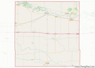
| County: | Iowa County |
| Elevation: | 863 ft (263 m) |
| Total Area: | 0.18 sq mi (0.46 km²) |
| Land Area: | 0.18 sq mi (0.46 km²) |
| Water Area: | 0.00 sq mi (0.00 km²) |
| Total Population: | 194 |
| Population Density: | 1,096.05/sq mi (422.06/km²) |
| ZIP code: | 52325 |
| Area code: | 319 |
| FIPS code: | 1961770 |
| GNISfeature ID: | 0460031 |
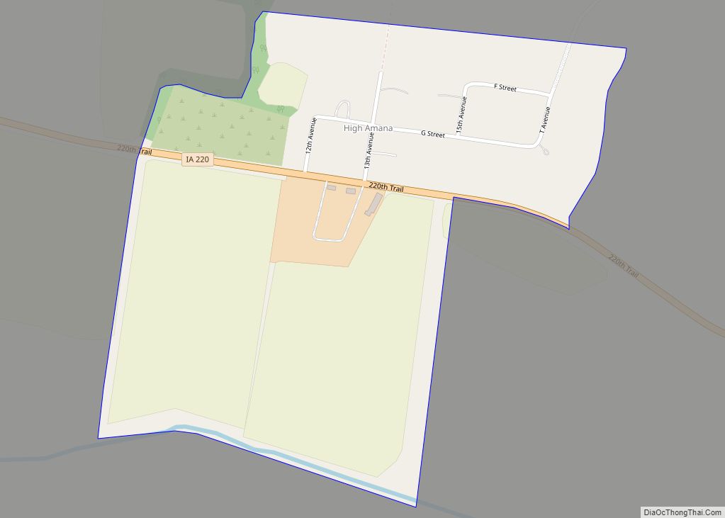
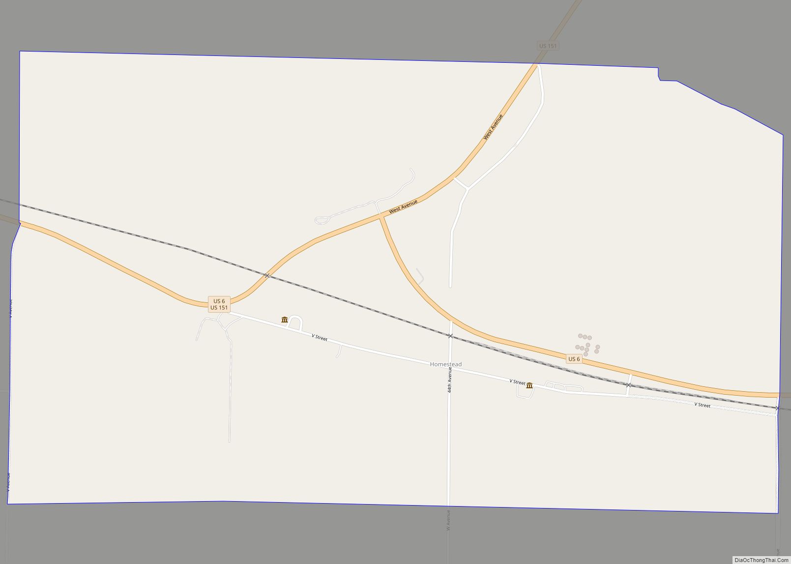
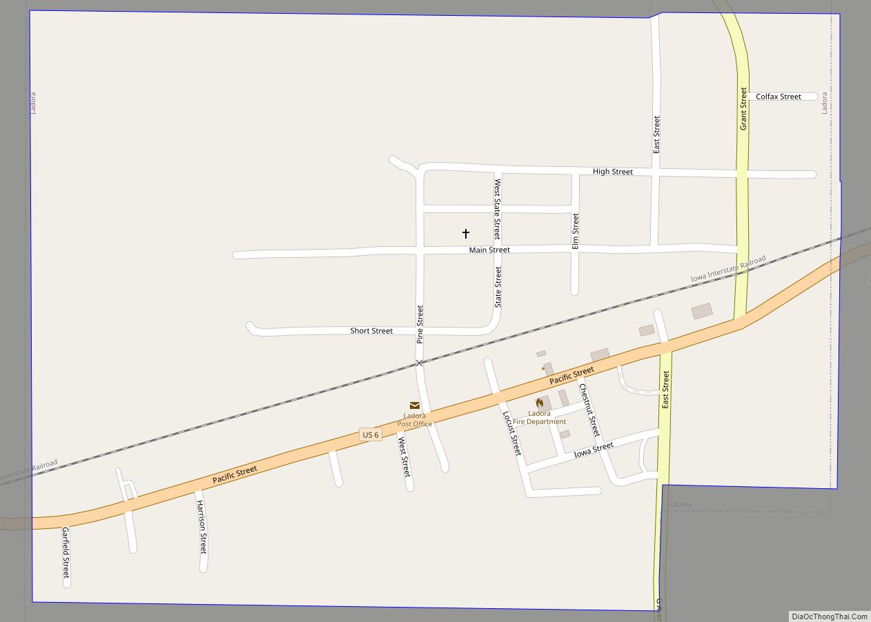
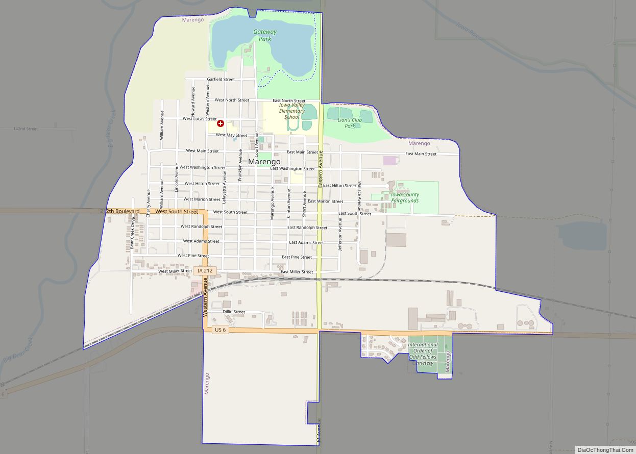
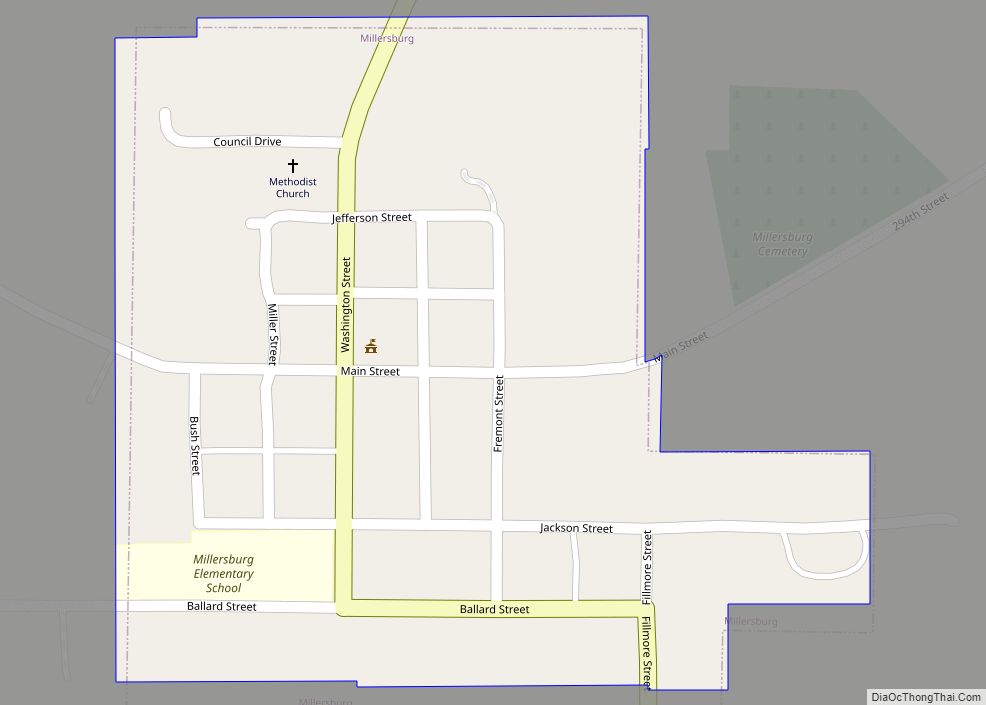
Online Interactive Map
Click on ![]() to view map in "full screen" mode.
to view map in "full screen" mode.
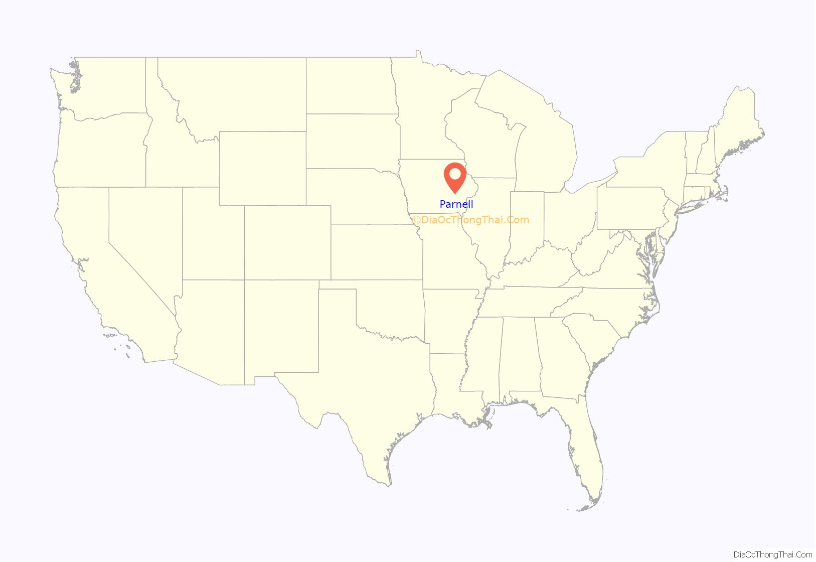
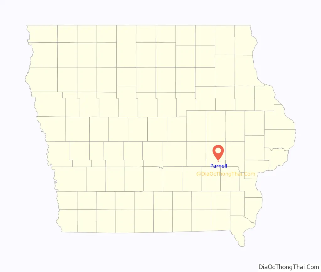
Parnell location map. Where is Parnell city?
History
Parnell, in Fillmore Township, Iowa County, Iowa, was named after Charles Stewart Parnell, a noble Irish statesman who had come to the American people to plead the cause of Ireland’s land-impoverished peasants.
The Milwaukee Railroad helped to create Parnell. In 1884, the people of the little Irish town of Lytle City moved residences, stores, buildings, and families three miles west to where the railroad was beginning.
The people of Lytle City, who were mostly members of the Catholic Church, then became residents of Parnell. The town was incorporated on March 24, 1891, with a population of 156.
The early businesses consisted of a hardware store, grocery store, a drug store, a foundry and blacksmith, a newspaper office, hotel, a livery stable, tavern, dry goods store, millinery shop, a photographer, opera house, and a bank.
Catholic church services began in the fall of 1888. St. Joseph’s Catholic Church was erected the next year. The Rev. James Davis was its first pastor. This was the largest Catholic Church in the county; and the only church in Parnell until March 16, 1958, when the Parnell Mennonite Church became an organized congregation. The St. Joseph’s Cemetery was established in 1892 east of town. Due to deteriorating conditions, the church was torn down on April 27, 2010.
The Parnell school district was first known as Locust Grove Independent district. The school house was one mile east of town for the first two years. In order to accommodate the pupils in town and in the western part of the district, school was held in a store building in Parnell in the winter of 1888–1889. Birdie Costello and W.J. Naughton were the first teachers. In 1889, a new one-room building was erected; and later in 1899, a four-room brick structure was built. The school became a high school in 1899. In 1907, it adopted the eleventh grade course; and in 1915, it was raised to twelfth grade. In 1916, the Parnell Consolidated School was open-ed, becoming Parnell’s first public school. The Sisters of Humility were transferred to this school, which until 1955, was one of the few public schools in the state to utilize Roman Catholic nuns as instructors.
Early families of Parnell included the Shuells, Murphys, Hannons, Tiernans, Kellys, McDonalds, Dwyers, Callans, Eagletons, Lawlers, Tourneys, McCunes, Mullinex’, Naughtons, Quinns, Sheridans, Mastersons, Ryans, Leahys, Murrins, Coakleys, Carneys, Sullivans and Weldons.
In 1985, businesses included Weldon’s DX, Shamrock Cafe, Royal Beauty Salon, Parnell Sandwich & Cone Shoppe, Parnell Tavern, Parnell Post Office, Central Midwest Petroleum, Parnell Cycle Shop, and Johnny O’s Car Wash.
The St. Michael’s Church, Cemetery, Rectory and Ancient Order of Hibernians Hall, located four miles to the east in the hamlet of Holbrook was listed on the U.S. National Register of Historic Places in 1983.
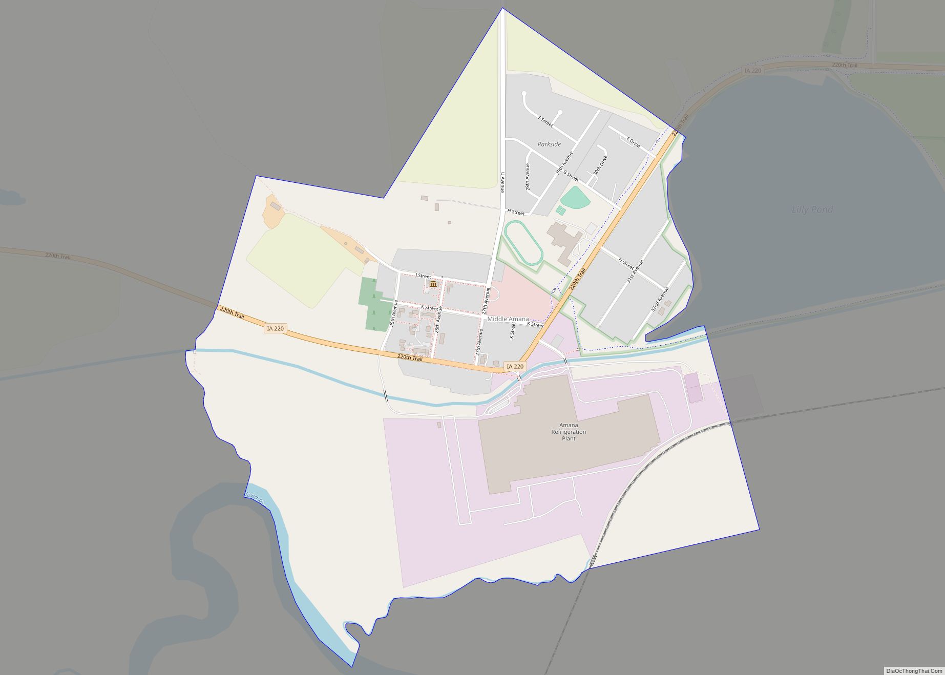
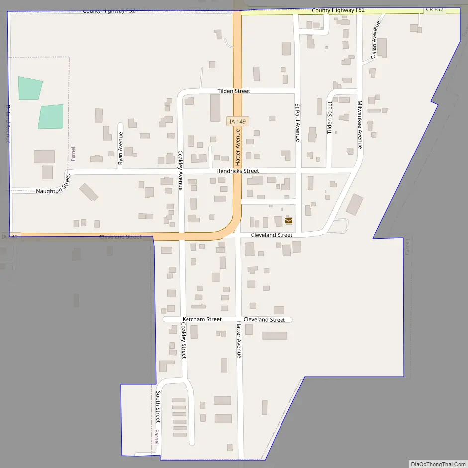
Parnell Road Map
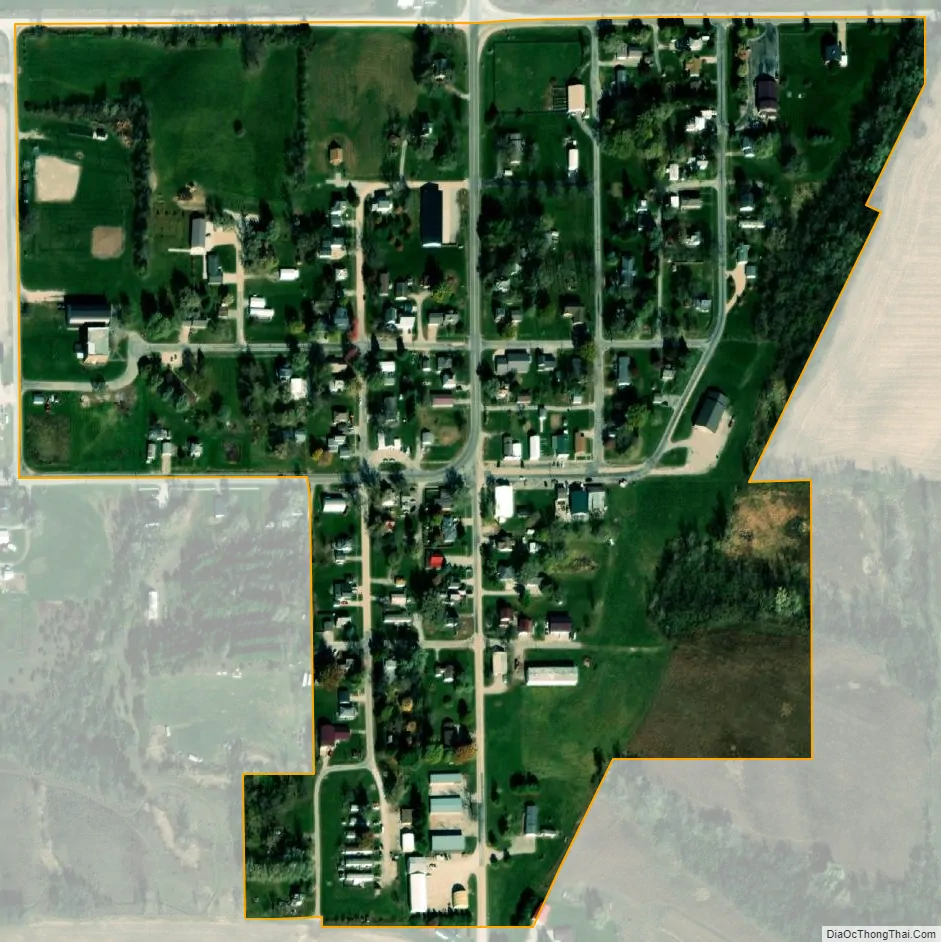
Parnell city Satellite Map
Geography
Parnell is located at 41°35′1″N 92°0′18″W / 41.58361°N 92.00500°W / 41.58361; -92.00500 (41.583477, -92.004930).
According to the United States Census Bureau, the city has a total area of 0.17 square miles (0.44 km), all land.
See also
Map of Iowa State and its subdivision:- Adair
- Adams
- Allamakee
- Appanoose
- Audubon
- Benton
- Black Hawk
- Boone
- Bremer
- Buchanan
- Buena Vista
- Butler
- Calhoun
- Carroll
- Cass
- Cedar
- Cerro Gordo
- Cherokee
- Chickasaw
- Clarke
- Clay
- Clayton
- Clinton
- Crawford
- Dallas
- Davis
- Decatur
- Delaware
- Des Moines
- Dickinson
- Dubuque
- Emmet
- Fayette
- Floyd
- Franklin
- Fremont
- Greene
- Grundy
- Guthrie
- Hamilton
- Hancock
- Hardin
- Harrison
- Henry
- Howard
- Humboldt
- Ida
- Iowa
- Jackson
- Jasper
- Jefferson
- Johnson
- Jones
- Keokuk
- Kossuth
- Lee
- Linn
- Louisa
- Lucas
- Lyon
- Madison
- Mahaska
- Marion
- Marshall
- Mills
- Mitchell
- Monona
- Monroe
- Montgomery
- Muscatine
- O'Brien
- Osceola
- Page
- Palo Alto
- Plymouth
- Pocahontas
- Polk
- Pottawattamie
- Poweshiek
- Ringgold
- Sac
- Scott
- Shelby
- Sioux
- Story
- Tama
- Taylor
- Union
- Van Buren
- Wapello
- Warren
- Washington
- Wayne
- Webster
- Winnebago
- Winneshiek
- Woodbury
- Worth
- Wright
- Alabama
- Alaska
- Arizona
- Arkansas
- California
- Colorado
- Connecticut
- Delaware
- District of Columbia
- Florida
- Georgia
- Hawaii
- Idaho
- Illinois
- Indiana
- Iowa
- Kansas
- Kentucky
- Louisiana
- Maine
- Maryland
- Massachusetts
- Michigan
- Minnesota
- Mississippi
- Missouri
- Montana
- Nebraska
- Nevada
- New Hampshire
- New Jersey
- New Mexico
- New York
- North Carolina
- North Dakota
- Ohio
- Oklahoma
- Oregon
- Pennsylvania
- Rhode Island
- South Carolina
- South Dakota
- Tennessee
- Texas
- Utah
- Vermont
- Virginia
- Washington
- West Virginia
- Wisconsin
- Wyoming