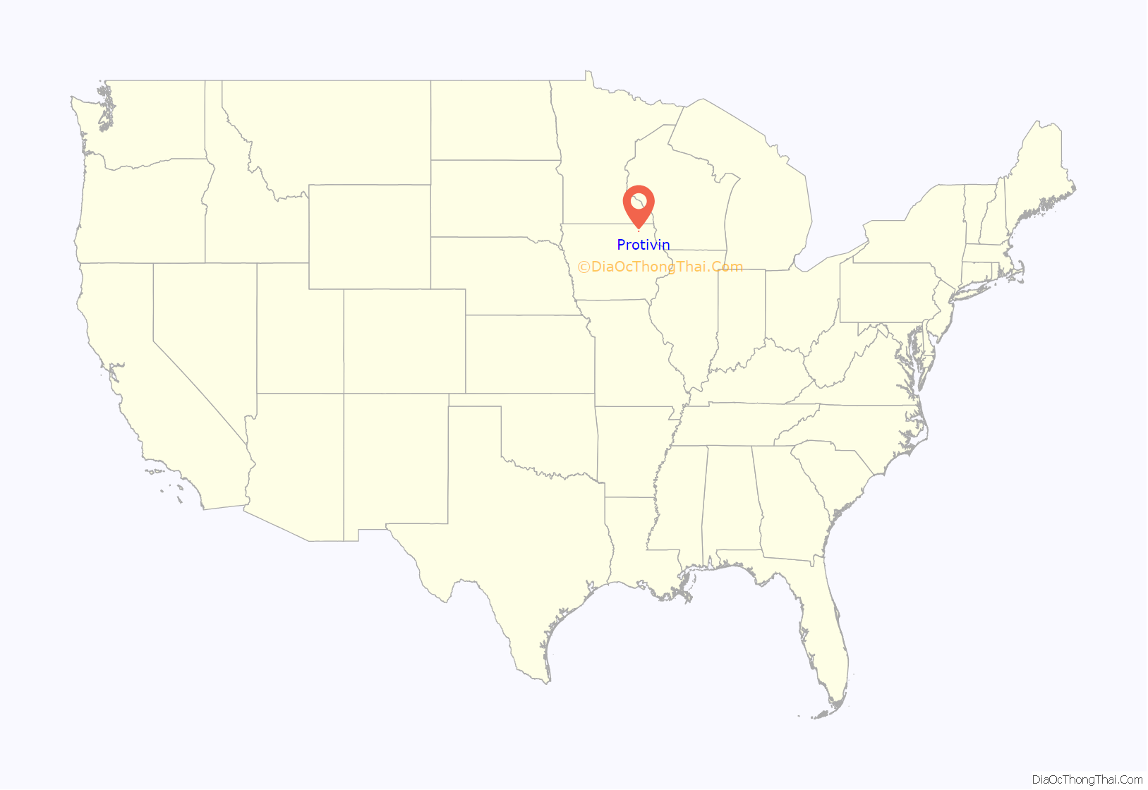
Protivin is a city in Chickasaw and Howard counties in the U.S. state of Iowa. The population was 269 at the time of the 2020 census. Early settlers named the city after the Bohemian town of Protivín in what is now the south of the Czech Republic. The current mayor of Protivin is Michael Lensing.
| Name: | Protivin city |
|---|---|
| LSAD Code: | 25 |
| LSAD Description: | city (suffix) |
| State: | Iowa |
| County: | Chickasaw County, Howard County |
| Elevation: | 1,152 ft (351 m) |
| Total Area: | 0.44 sq mi (1.14 km²) |
| Land Area: | 0.44 sq mi (1.14 km²) |
| Water Area: | 0.00 sq mi (0.00 km²) |
| Total Population: | 269 |
| Population Density: | 611.36/sq mi (236.21/km²) |
| ZIP code: | 52163 |
| Area code: | 563 |
| FIPS code: | 1965010 |
| GNISfeature ID: | 0460466 |
| Website: | www.cityofprotivin.com |
Online Interactive Map
Click on ![]() to view map in "full screen" mode.
to view map in "full screen" mode.
Protivin location map. Where is Protivin city?
History
The first Czech settlers arrived around 1855 and established themselves because the landscape reminded them of their home region. The community was and is predominately Catholic and they built their own church in 1878 which was the town’s first structure.
Protivin was platted in 1878, and incorporated as a town in 1894.
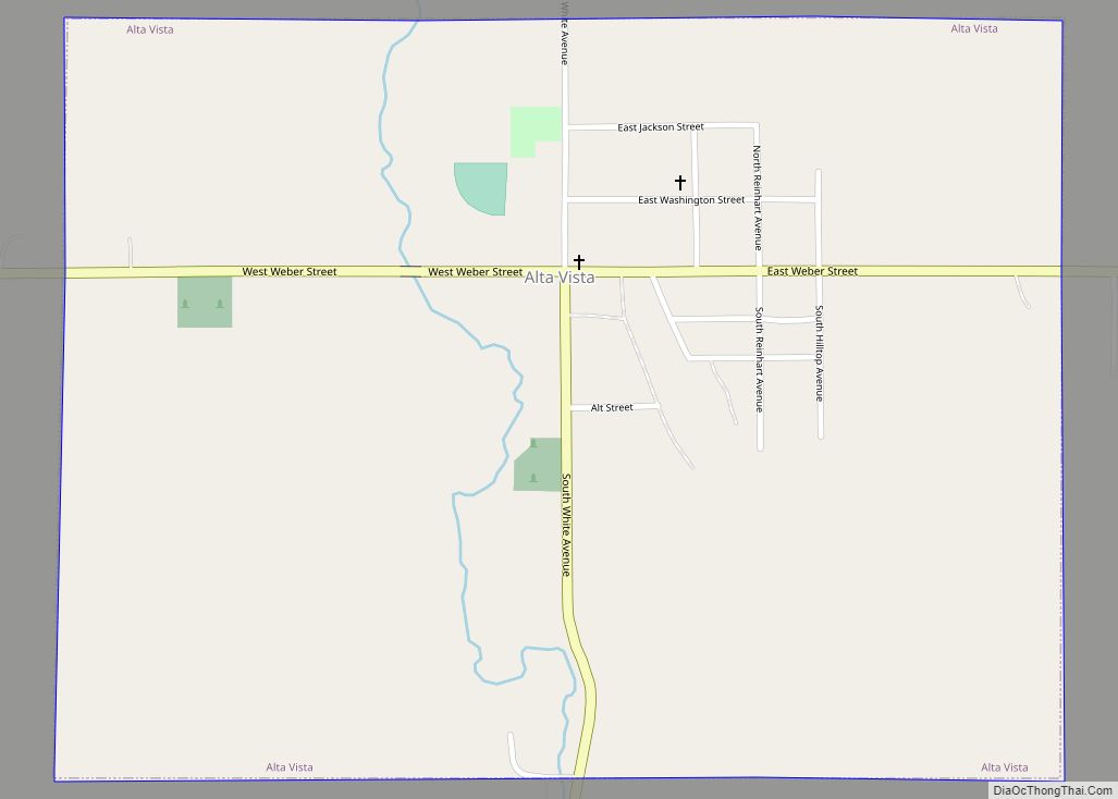
Protivin Road Map
Protivin city Satellite Map
Geography
Protivin is located at 43°12′56″N 92°5′34″W / 43.21556°N 92.09278°W / 43.21556; -92.09278 (43.215428, -92.092814).
The Protivin area has many wildlife areas and opportunities for hunting and fishing. According to the United States Census Bureau, the city has a total area of 0.48 square miles (1.24 km), all land.
Taylor’s Pond is located a few miles northwest of Protivin and has a four-acre pond used for fishing as well as picnic facilities.
Protivin is located on a state highway between U.S. Routes 52 and 63.
See also
Map of Iowa State and its subdivision:- Adair
- Adams
- Allamakee
- Appanoose
- Audubon
- Benton
- Black Hawk
- Boone
- Bremer
- Buchanan
- Buena Vista
- Butler
- Calhoun
- Carroll
- Cass
- Cedar
- Cerro Gordo
- Cherokee
- Chickasaw
- Clarke
- Clay
- Clayton
- Clinton
- Crawford
- Dallas
- Davis
- Decatur
- Delaware
- Des Moines
- Dickinson
- Dubuque
- Emmet
- Fayette
- Floyd
- Franklin
- Fremont
- Greene
- Grundy
- Guthrie
- Hamilton
- Hancock
- Hardin
- Harrison
- Henry
- Howard
- Humboldt
- Ida
- Iowa
- Jackson
- Jasper
- Jefferson
- Johnson
- Jones
- Keokuk
- Kossuth
- Lee
- Linn
- Louisa
- Lucas
- Lyon
- Madison
- Mahaska
- Marion
- Marshall
- Mills
- Mitchell
- Monona
- Monroe
- Montgomery
- Muscatine
- O'Brien
- Osceola
- Page
- Palo Alto
- Plymouth
- Pocahontas
- Polk
- Pottawattamie
- Poweshiek
- Ringgold
- Sac
- Scott
- Shelby
- Sioux
- Story
- Tama
- Taylor
- Union
- Van Buren
- Wapello
- Warren
- Washington
- Wayne
- Webster
- Winnebago
- Winneshiek
- Woodbury
- Worth
- Wright
- Alabama
- Alaska
- Arizona
- Arkansas
- California
- Colorado
- Connecticut
- Delaware
- District of Columbia
- Florida
- Georgia
- Hawaii
- Idaho
- Illinois
- Indiana
- Iowa
- Kansas
- Kentucky
- Louisiana
- Maine
- Maryland
- Massachusetts
- Michigan
- Minnesota
- Mississippi
- Missouri
- Montana
- Nebraska
- Nevada
- New Hampshire
- New Jersey
- New Mexico
- New York
- North Carolina
- North Dakota
- Ohio
- Oklahoma
- Oregon
- Pennsylvania
- Rhode Island
- South Carolina
- South Dakota
- Tennessee
- Texas
- Utah
- Vermont
- Virginia
- Washington
- West Virginia
- Wisconsin
- Wyoming
