Remsen is a city in Plymouth County, Iowa, United States. The population was 1,678 at the time of the 2020 census.
| Name: | Remsen city |
|---|---|
| LSAD Code: | 25 |
| LSAD Description: | city (suffix) |
| State: | Iowa |
| County: | Plymouth County |
| Incorporated: | 1889 |
| Elevation: | 1,329 ft (405 m) |
| Total Area: | 1.46 sq mi (3.79 km²) |
| Land Area: | 1.46 sq mi (3.79 km²) |
| Water Area: | 0.00 sq mi (0.00 km²) |
| Total Population: | 1,678 |
| Population Density: | 1,146.17/sq mi (442.53/km²) |
| ZIP code: | 51050 |
| Area code: | 712 |
| FIPS code: | 1966405 |
| GNISfeature ID: | 0460584 |
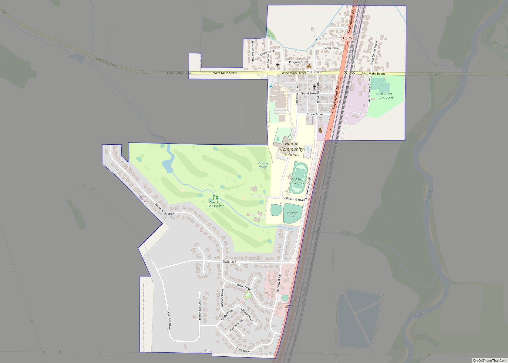
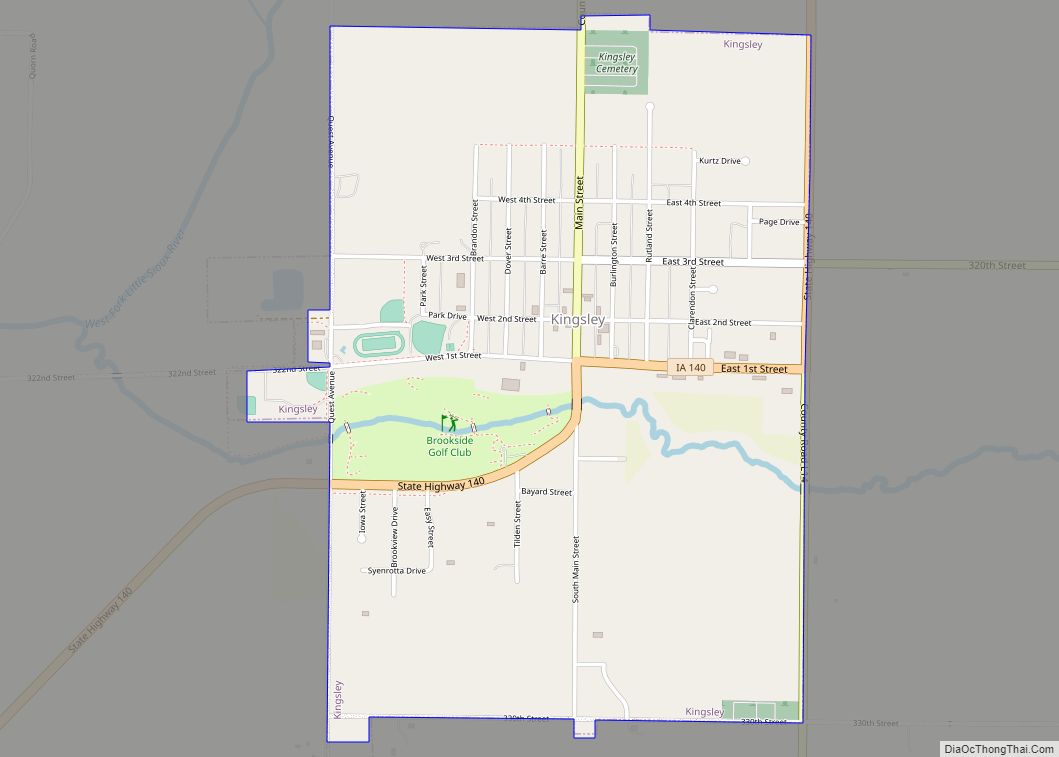
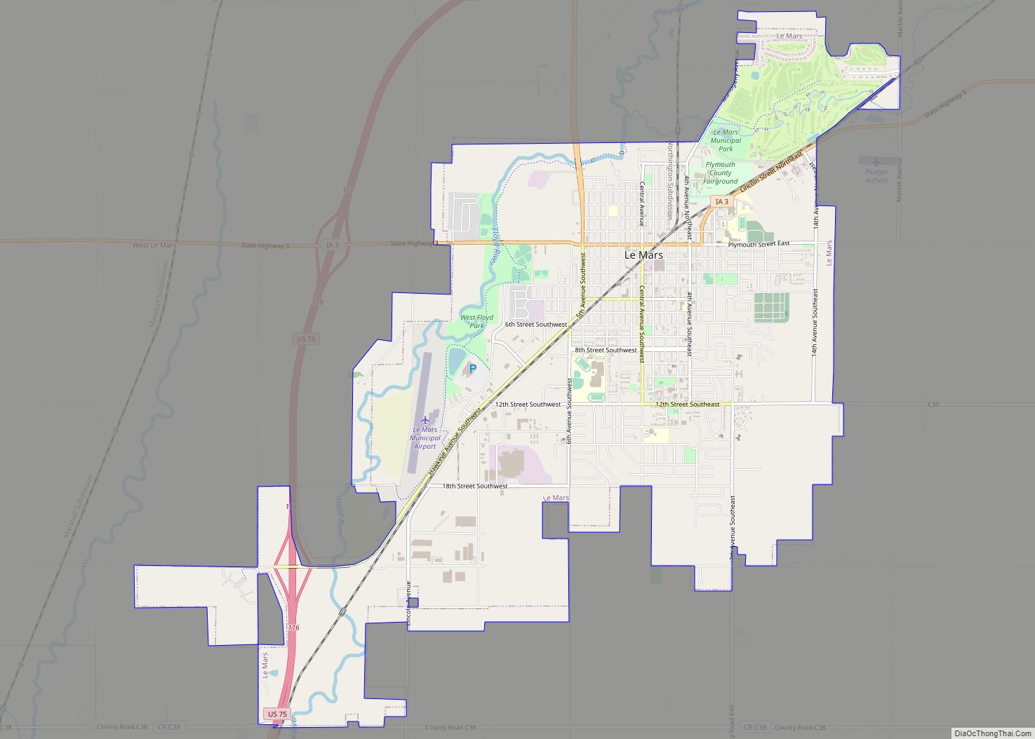
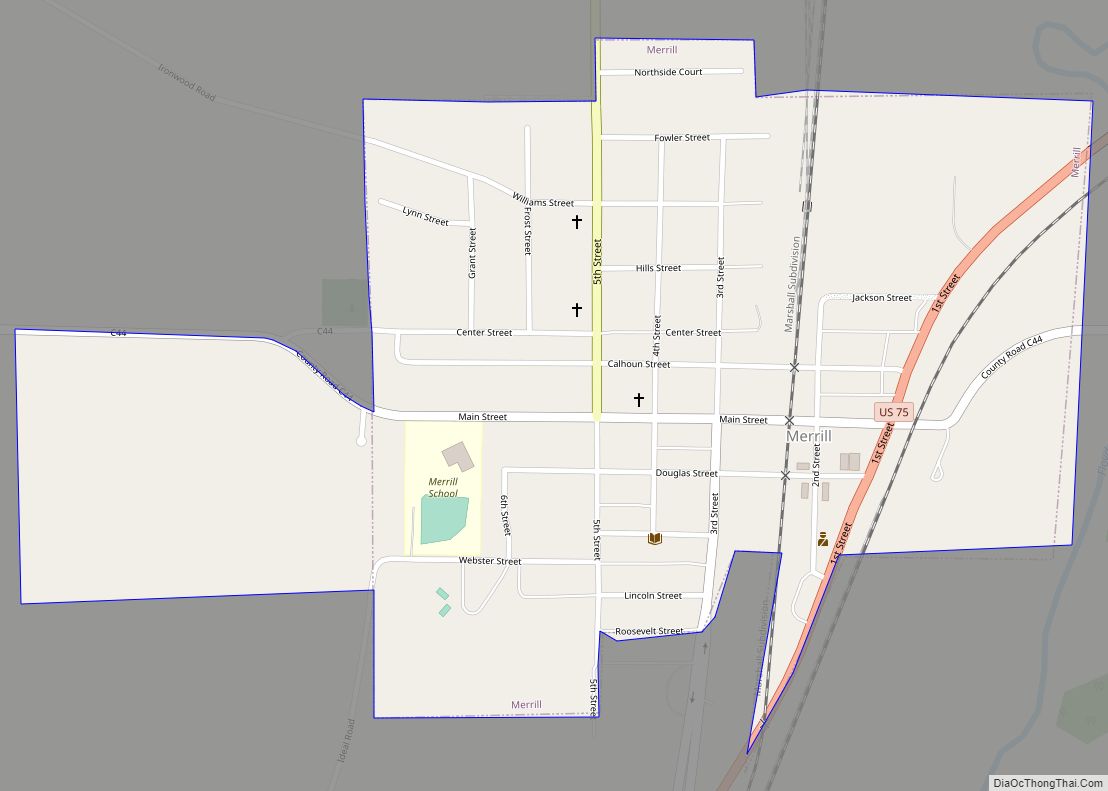
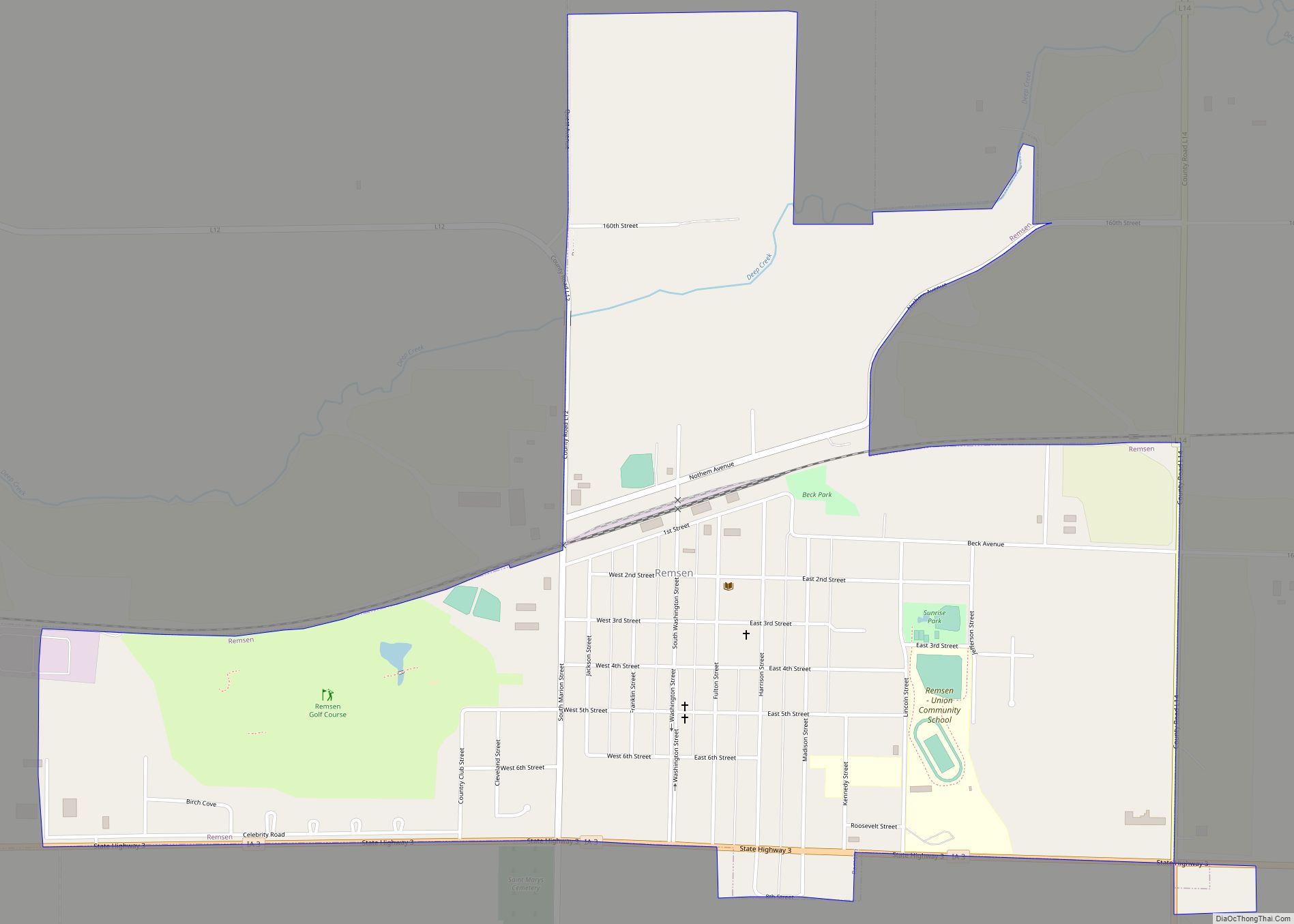
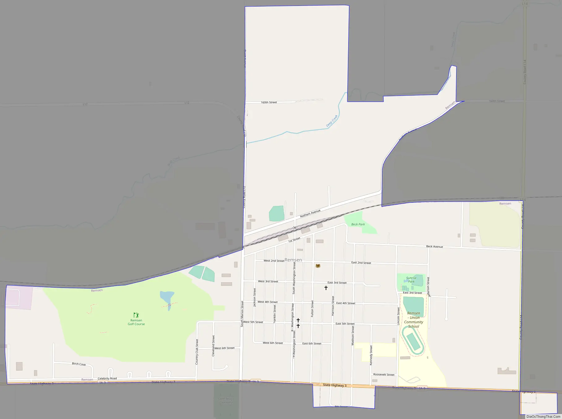
Online Interactive Map
Click on ![]() to view map in "full screen" mode.
to view map in "full screen" mode.
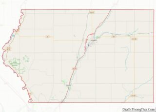
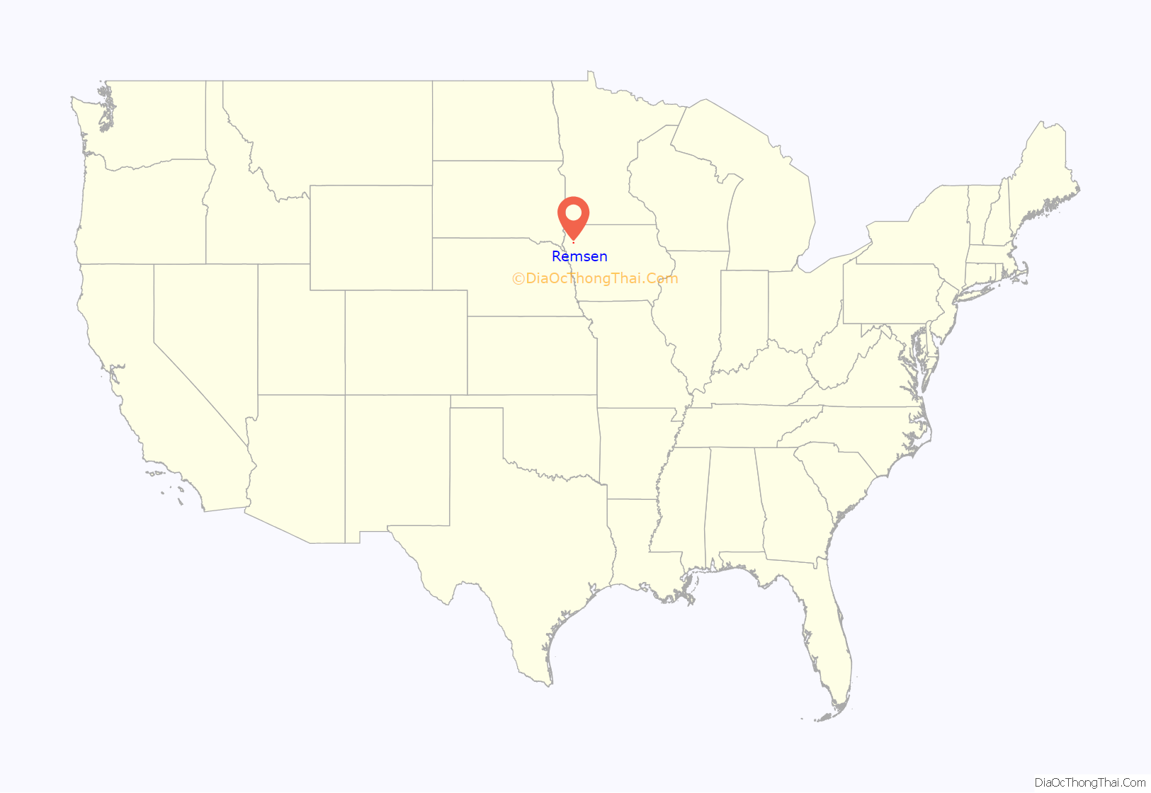
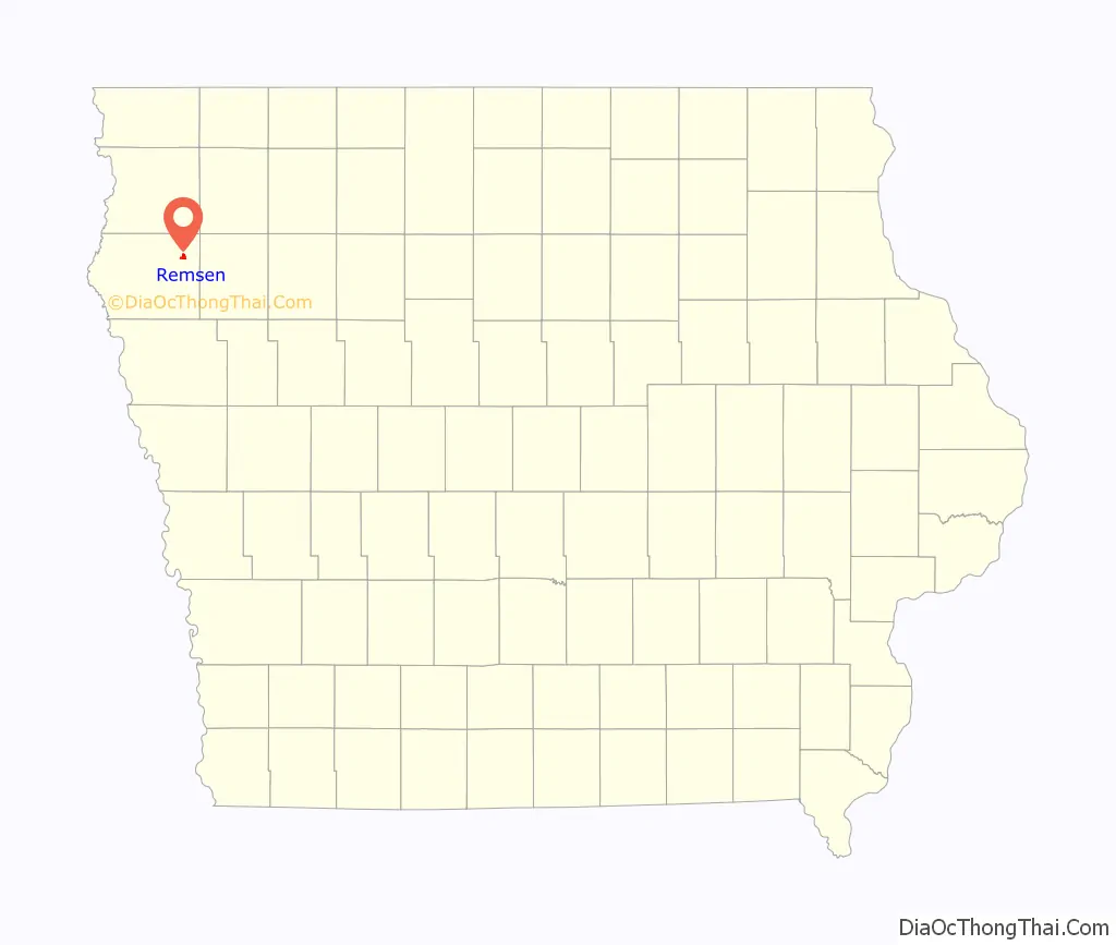
Remsen location map. Where is Remsen city?
History
Remsen was named for Dr. William Remsen Smith. Smith had a good friend who suggested the name Smithville, but Smith thought that there were too many Smiths in the world, and instead chose to give the town his middle name.
Remsen was platted by the Iowa Falls and Sioux City Railroad Town Land and Lot Company August 28, 1876, and was incorporated in the spring of 1889. The population in 1885 was given at 650, of whom 400 were American born.
Remsen was settled by mostly German and Luxembourg immigrants. Plagued by religious persecution, unwelcome Prussian military conscription and economic limitations, the early immigrants left their native land to start a new life in the land of opportunity now called Remsen.
Remsen citizens retained their Luxembourg traditions of deep religious faith and loyal, energetic, hard working and fun loving style. At the same time they contributed to their share in the building and development of America and were quick to respond whenever Uncle Sam called on his citizens for a service, always eager to do something for the land which gave them the opportunity to raise their families as free and independent American citizens.
During Prohibition, Remsen was a major player in the brewing, transporting and sale of illegal alcohol. Its location adjacent to larger midwestern cities and the amount of farmland between homes made it a perfect area to make moonshine. Much of the moonshine produced ended up in one of two other Iowa cities: Sioux City or Pocahontas.
On July 4, 1936, a massive fire destroyed 15 homes and 18 buildings that housed 38 businesses. The fire started when a couple young kids, never identified, were playing with fireworks when a nearby tent caught fire. With the winds and extreme heat, the fire was out of control within minutes. Resulting in an all night battle for nearby fire departments. This led to the 84 year long ban of fireworks in Iowa.
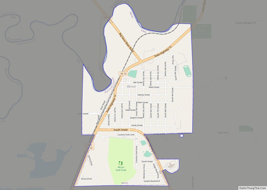
Remsen Road Map
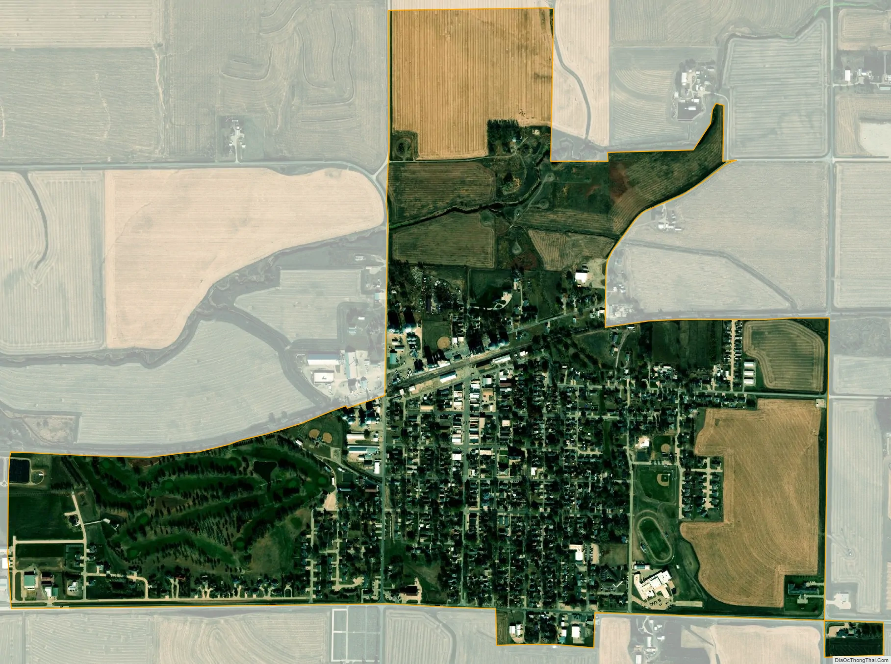
Remsen city Satellite Map
Geography
Remsen is located at 42°48′47″N 95°58′18″W / 42.81306°N 95.97167°W / 42.81306; -95.97167 (42.813118, -95.971673).
According to the United States Census Bureau, the city has a total area of 1.27 square miles (3.29 km), all land.
See also
Map of Iowa State and its subdivision:- Adair
- Adams
- Allamakee
- Appanoose
- Audubon
- Benton
- Black Hawk
- Boone
- Bremer
- Buchanan
- Buena Vista
- Butler
- Calhoun
- Carroll
- Cass
- Cedar
- Cerro Gordo
- Cherokee
- Chickasaw
- Clarke
- Clay
- Clayton
- Clinton
- Crawford
- Dallas
- Davis
- Decatur
- Delaware
- Des Moines
- Dickinson
- Dubuque
- Emmet
- Fayette
- Floyd
- Franklin
- Fremont
- Greene
- Grundy
- Guthrie
- Hamilton
- Hancock
- Hardin
- Harrison
- Henry
- Howard
- Humboldt
- Ida
- Iowa
- Jackson
- Jasper
- Jefferson
- Johnson
- Jones
- Keokuk
- Kossuth
- Lee
- Linn
- Louisa
- Lucas
- Lyon
- Madison
- Mahaska
- Marion
- Marshall
- Mills
- Mitchell
- Monona
- Monroe
- Montgomery
- Muscatine
- O'Brien
- Osceola
- Page
- Palo Alto
- Plymouth
- Pocahontas
- Polk
- Pottawattamie
- Poweshiek
- Ringgold
- Sac
- Scott
- Shelby
- Sioux
- Story
- Tama
- Taylor
- Union
- Van Buren
- Wapello
- Warren
- Washington
- Wayne
- Webster
- Winnebago
- Winneshiek
- Woodbury
- Worth
- Wright
- Alabama
- Alaska
- Arizona
- Arkansas
- California
- Colorado
- Connecticut
- Delaware
- District of Columbia
- Florida
- Georgia
- Hawaii
- Idaho
- Illinois
- Indiana
- Iowa
- Kansas
- Kentucky
- Louisiana
- Maine
- Maryland
- Massachusetts
- Michigan
- Minnesota
- Mississippi
- Missouri
- Montana
- Nebraska
- Nevada
- New Hampshire
- New Jersey
- New Mexico
- New York
- North Carolina
- North Dakota
- Ohio
- Oklahoma
- Oregon
- Pennsylvania
- Rhode Island
- South Carolina
- South Dakota
- Tennessee
- Texas
- Utah
- Vermont
- Virginia
- Washington
- West Virginia
- Wisconsin
- Wyoming