Riverside is a city in rural Washington County, Iowa, United States, along the English River on Iowa Highway 22. It is part of the Iowa City, Iowa Metropolitan Statistical Area. The population was 1,060 at the time of the 2020 census. It is part of the Highland Community School District.
Riverside proclaimed itself the future birthplace of Captain James T. Kirk, a fictional character from the science fiction series Star Trek, with the agreement of series creator Gene Roddenberry.
| Name: | Riverside city |
|---|---|
| LSAD Code: | 25 |
| LSAD Description: | city (suffix) |
| State: | Iowa |
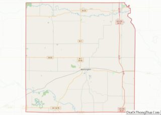
| County: | Washington County |
| Elevation: | 650 ft (198 m) |
| Total Area: | 1.85 sq mi (4.78 km²) |
| Land Area: | 1.85 sq mi (4.78 km²) |
| Water Area: | 0.00 sq mi (0.00 km²) |
| Total Population: | 1,060 |
| Population Density: | 574.21/sq mi (221.67/km²) |
| ZIP code: | 52327 |
| Area code: | 319 |
| FIPS code: | 1967440 |
| GNISfeature ID: | 0460657 |
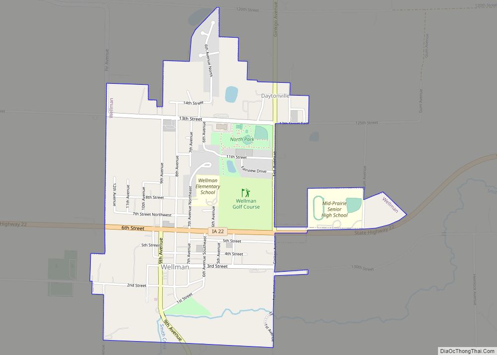
Online Interactive Map
Click on ![]() to view map in "full screen" mode.
to view map in "full screen" mode.
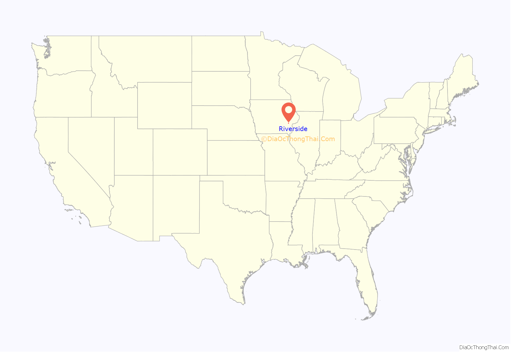
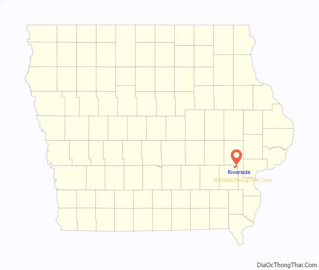
Riverside location map. Where is Riverside city?
History
The settlement of Riverside was established in 1872 and incorporated in 1882. The name, suggested by a Dr. Ott, is probably a reference to the townsite’s location on the English River.
The Burlington, Cedar Rapids and Northern Railway built a 66 miles (106 km) branch from Iowa City to What Cheer via Riverside in 1879. Riverside was just west of Iowa Junction, where the lines east to Muscatine and north to Iowa City diverged.
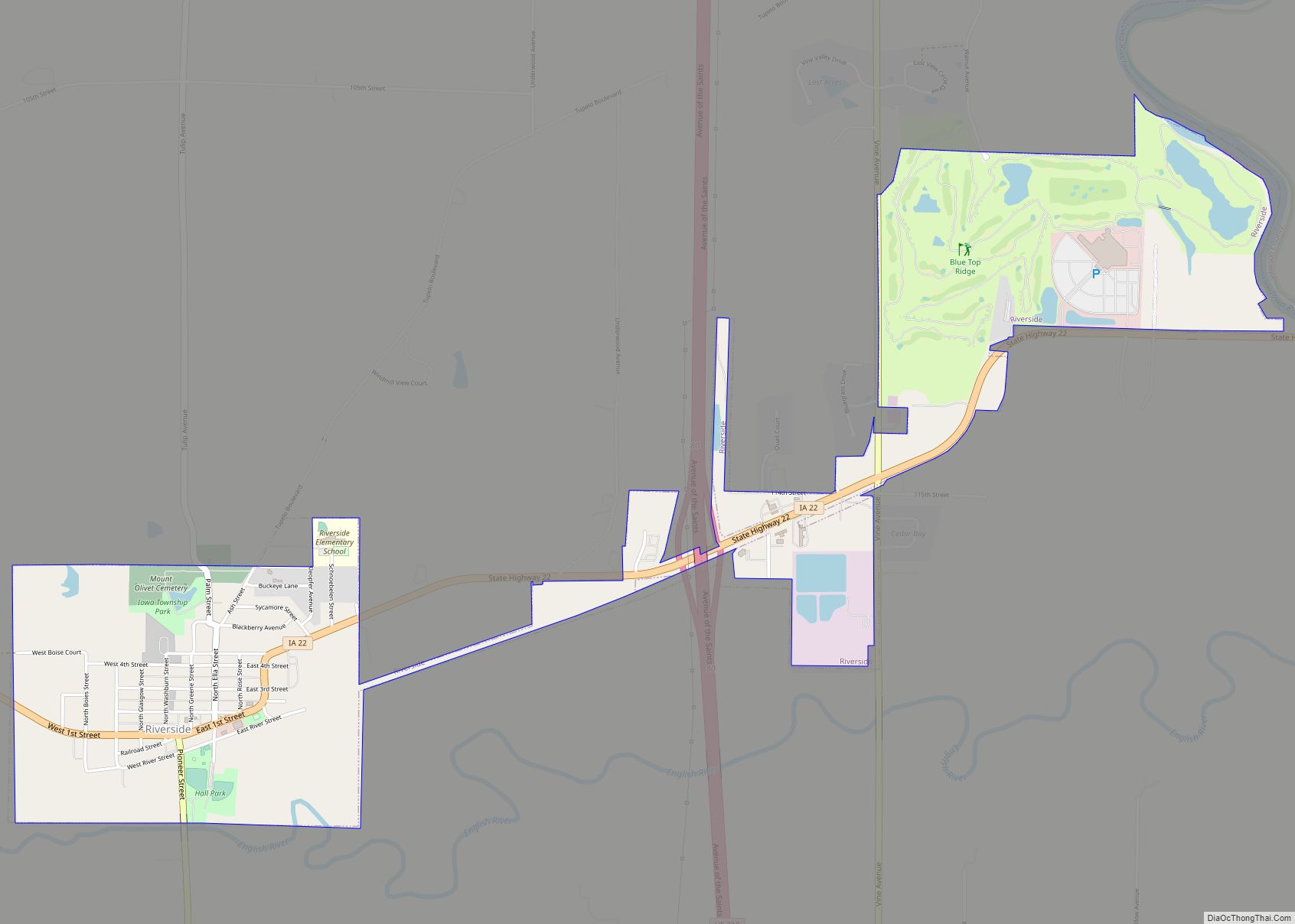
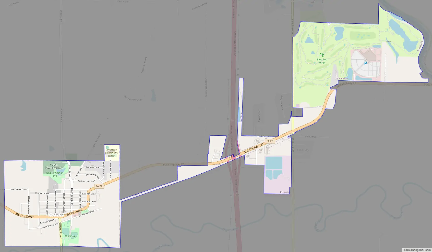
Riverside Road Map
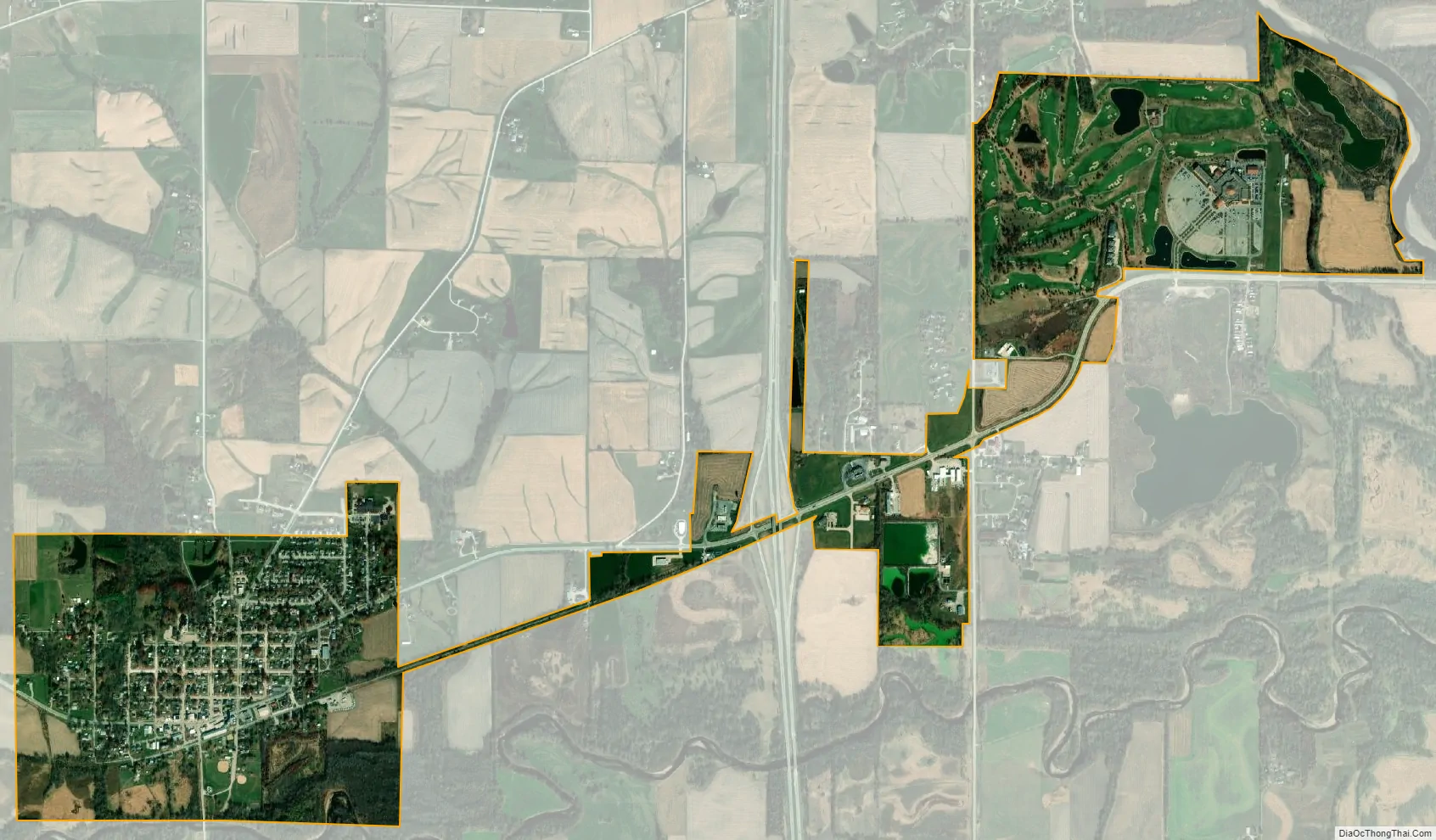
Riverside city Satellite Map
Geography
Riverside is located at 41°28′55″N 91°34′36″W / 41.48194°N 91.57667°W / 41.48194; -91.57667 (41.481891, -91.576631). According to the United States Census Bureau, the city has a total area of 1.72 square miles (4.45 km), all of it land. Riverside is approximately 15 miles (24 km) south of Iowa City along U.S. Route 218 and 30 miles (48 km) west of Muscatine on Iowa Highway 22. Riverside is on the north bank of the English River.
See also
Map of Iowa State and its subdivision:- Adair
- Adams
- Allamakee
- Appanoose
- Audubon
- Benton
- Black Hawk
- Boone
- Bremer
- Buchanan
- Buena Vista
- Butler
- Calhoun
- Carroll
- Cass
- Cedar
- Cerro Gordo
- Cherokee
- Chickasaw
- Clarke
- Clay
- Clayton
- Clinton
- Crawford
- Dallas
- Davis
- Decatur
- Delaware
- Des Moines
- Dickinson
- Dubuque
- Emmet
- Fayette
- Floyd
- Franklin
- Fremont
- Greene
- Grundy
- Guthrie
- Hamilton
- Hancock
- Hardin
- Harrison
- Henry
- Howard
- Humboldt
- Ida
- Iowa
- Jackson
- Jasper
- Jefferson
- Johnson
- Jones
- Keokuk
- Kossuth
- Lee
- Linn
- Louisa
- Lucas
- Lyon
- Madison
- Mahaska
- Marion
- Marshall
- Mills
- Mitchell
- Monona
- Monroe
- Montgomery
- Muscatine
- O'Brien
- Osceola
- Page
- Palo Alto
- Plymouth
- Pocahontas
- Polk
- Pottawattamie
- Poweshiek
- Ringgold
- Sac
- Scott
- Shelby
- Sioux
- Story
- Tama
- Taylor
- Union
- Van Buren
- Wapello
- Warren
- Washington
- Wayne
- Webster
- Winnebago
- Winneshiek
- Woodbury
- Worth
- Wright
- Alabama
- Alaska
- Arizona
- Arkansas
- California
- Colorado
- Connecticut
- Delaware
- District of Columbia
- Florida
- Georgia
- Hawaii
- Idaho
- Illinois
- Indiana
- Iowa
- Kansas
- Kentucky
- Louisiana
- Maine
- Maryland
- Massachusetts
- Michigan
- Minnesota
- Mississippi
- Missouri
- Montana
- Nebraska
- Nevada
- New Hampshire
- New Jersey
- New Mexico
- New York
- North Carolina
- North Dakota
- Ohio
- Oklahoma
- Oregon
- Pennsylvania
- Rhode Island
- South Carolina
- South Dakota
- Tennessee
- Texas
- Utah
- Vermont
- Virginia
- Washington
- West Virginia
- Wisconsin
- Wyoming