Rodman is a city in Palo Alto County, Iowa, United States. The population was 31 at the time of the 2020 census. Rodman is also the farthest city in Iowa from any National park, being 372 miles away from the closest National park in the United States.
| Name: | Rodman city |
|---|---|
| LSAD Code: | 25 |
| LSAD Description: | city (suffix) |
| State: | Iowa |
| County: | Palo Alto County |
| Elevation: | 1,191 ft (363 m) |
| Total Area: | 0.15 sq mi (0.38 km²) |
| Land Area: | 0.15 sq mi (0.38 km²) |
| Water Area: | 0.00 sq mi (0.00 km²) |
| Total Population: | 31 |
| Population Density: | 212.33/sq mi (81.86/km²) |
| FIPS code: | 1968340 |
| GNISfeature ID: | 0460759 |
Online Interactive Map
Click on ![]() to view map in "full screen" mode.
to view map in "full screen" mode.
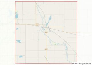
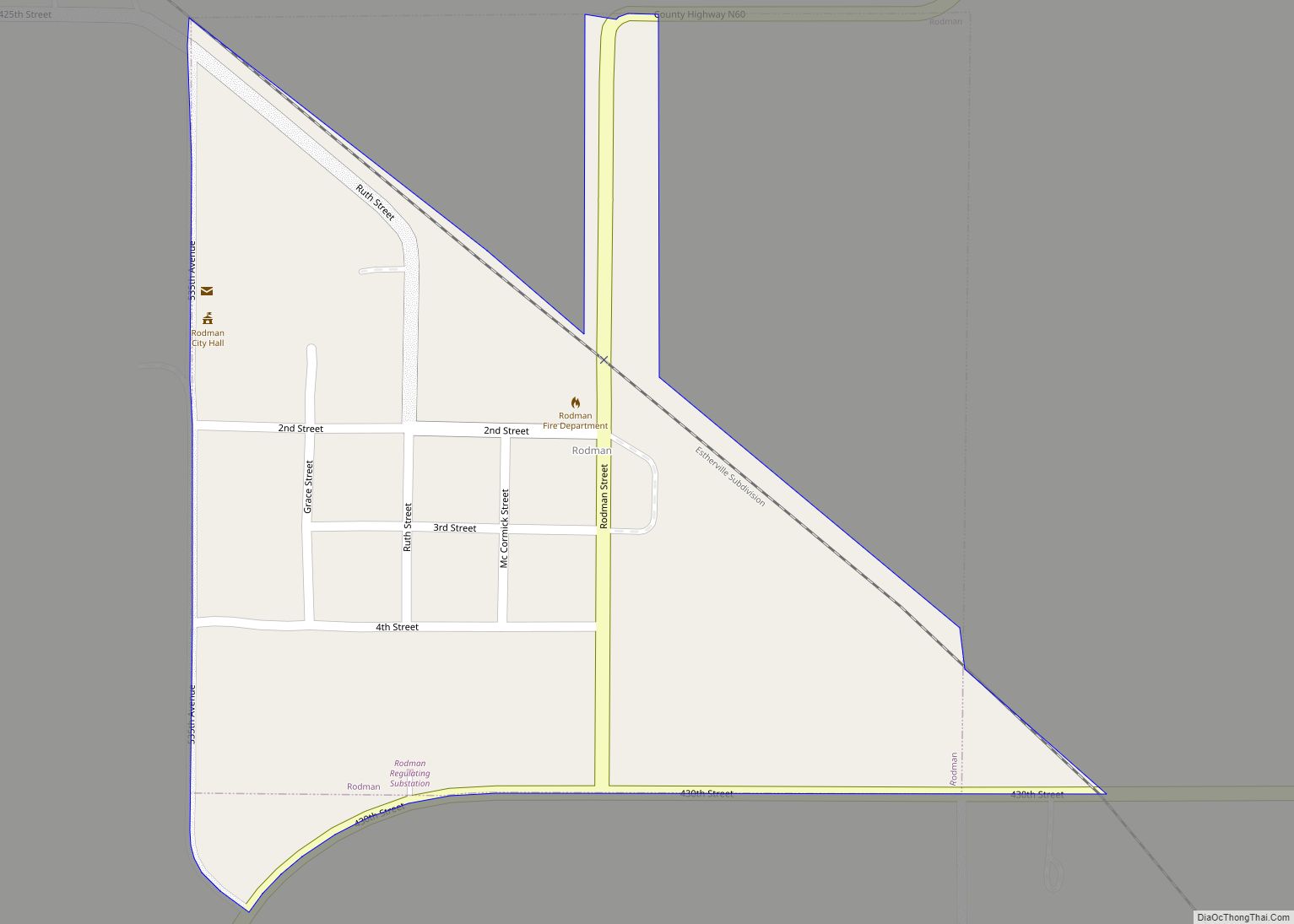
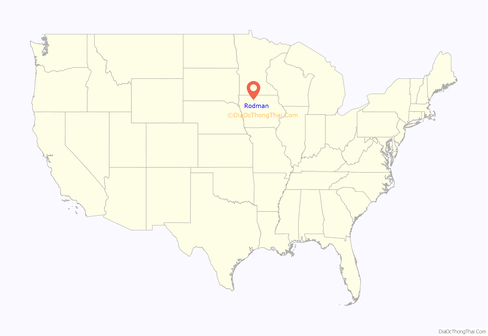
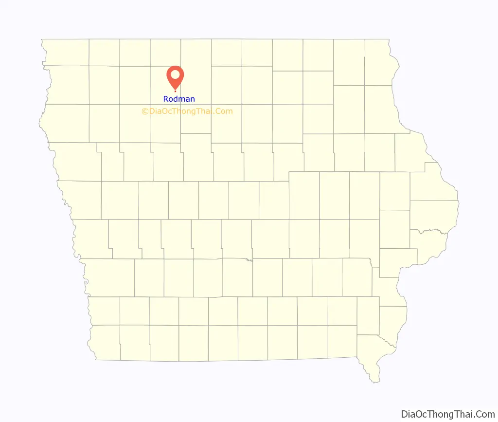
Rodman location map. Where is Rodman city?
History
Rodman got its start in the early 1880s, following construction of the Burlington, Cedar Rapids and Northern Railway through that territory. It was named for one Mr. Rodman, a retired sailor, who owned the town site.
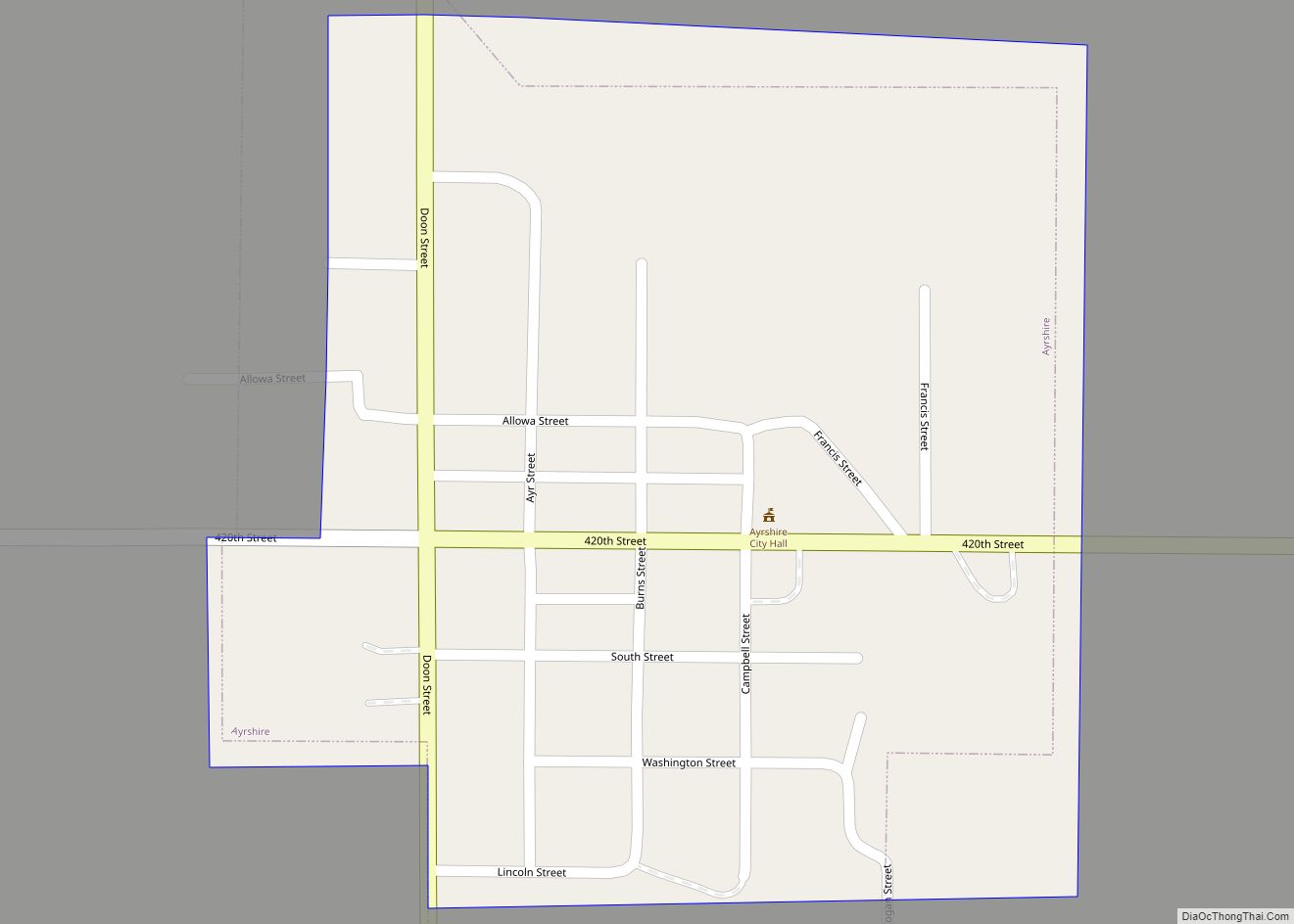
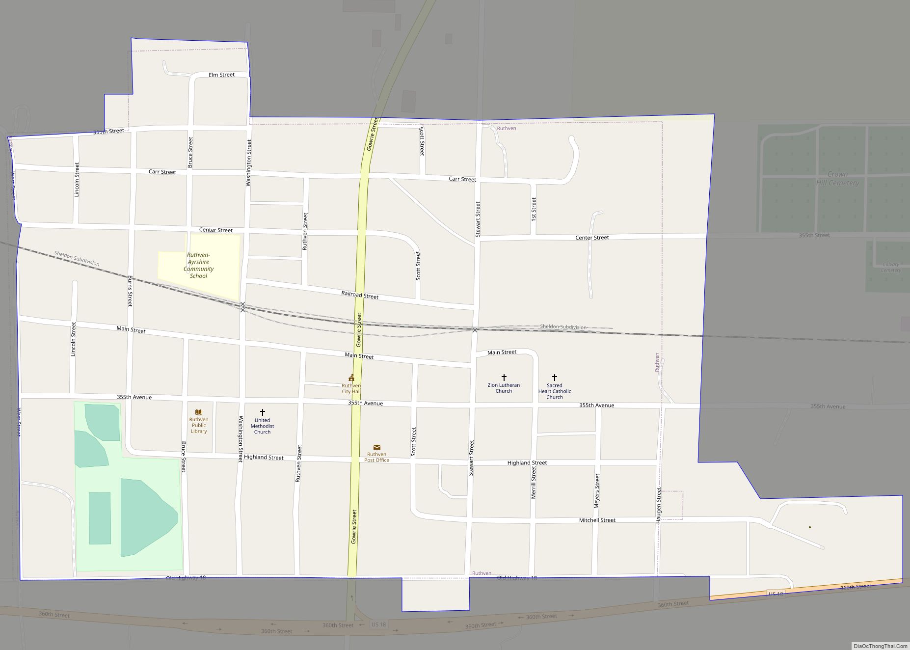
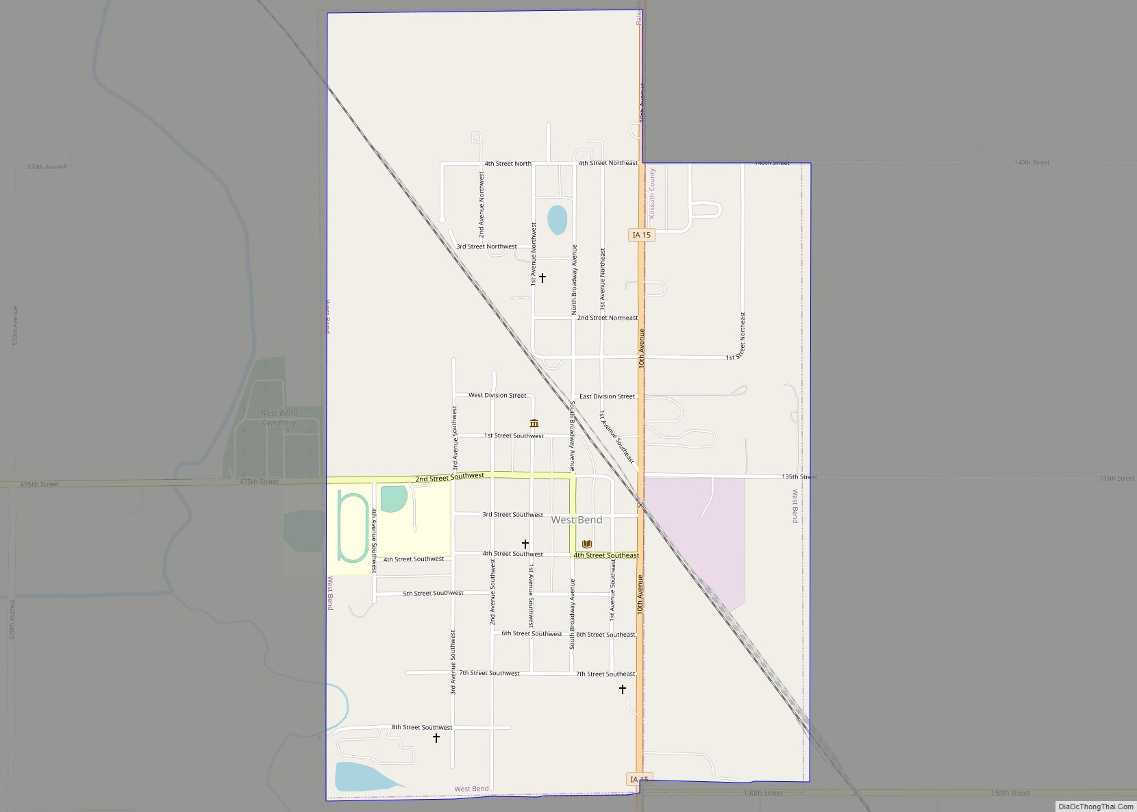
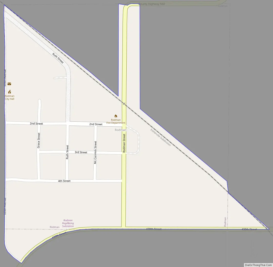
Rodman Road Map
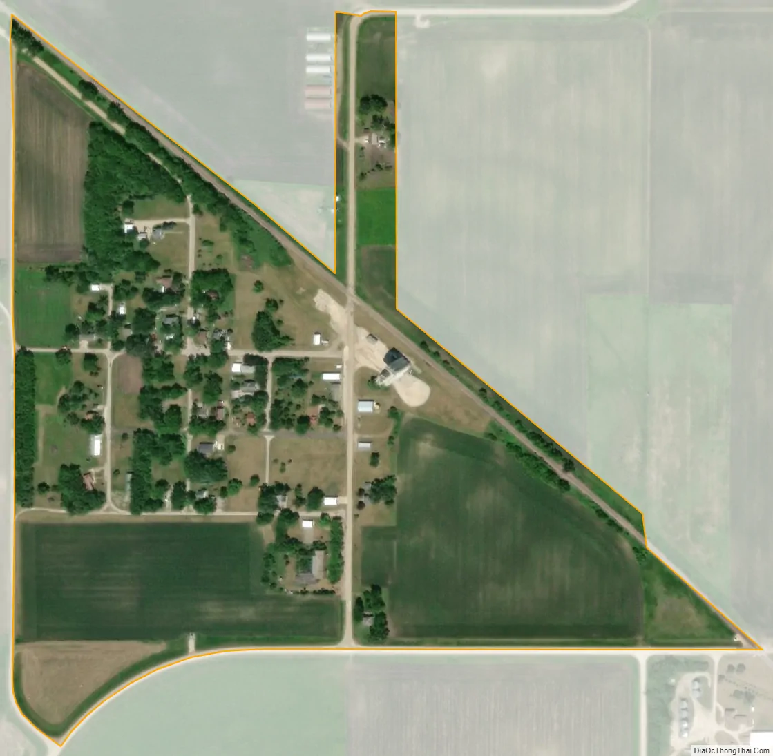
Rodman city Satellite Map
Geography
Rodman is located at 43°1′37″N 94°31′40″W / 43.02694°N 94.52778°W / 43.02694; -94.52778 (43.026874, -94.527795).
According to the United States Census Bureau, the city has a total area of 0.17 square miles (0.44 km), all land.
See also
Map of Iowa State and its subdivision:- Adair
- Adams
- Allamakee
- Appanoose
- Audubon
- Benton
- Black Hawk
- Boone
- Bremer
- Buchanan
- Buena Vista
- Butler
- Calhoun
- Carroll
- Cass
- Cedar
- Cerro Gordo
- Cherokee
- Chickasaw
- Clarke
- Clay
- Clayton
- Clinton
- Crawford
- Dallas
- Davis
- Decatur
- Delaware
- Des Moines
- Dickinson
- Dubuque
- Emmet
- Fayette
- Floyd
- Franklin
- Fremont
- Greene
- Grundy
- Guthrie
- Hamilton
- Hancock
- Hardin
- Harrison
- Henry
- Howard
- Humboldt
- Ida
- Iowa
- Jackson
- Jasper
- Jefferson
- Johnson
- Jones
- Keokuk
- Kossuth
- Lee
- Linn
- Louisa
- Lucas
- Lyon
- Madison
- Mahaska
- Marion
- Marshall
- Mills
- Mitchell
- Monona
- Monroe
- Montgomery
- Muscatine
- O'Brien
- Osceola
- Page
- Palo Alto
- Plymouth
- Pocahontas
- Polk
- Pottawattamie
- Poweshiek
- Ringgold
- Sac
- Scott
- Shelby
- Sioux
- Story
- Tama
- Taylor
- Union
- Van Buren
- Wapello
- Warren
- Washington
- Wayne
- Webster
- Winnebago
- Winneshiek
- Woodbury
- Worth
- Wright
- Alabama
- Alaska
- Arizona
- Arkansas
- California
- Colorado
- Connecticut
- Delaware
- District of Columbia
- Florida
- Georgia
- Hawaii
- Idaho
- Illinois
- Indiana
- Iowa
- Kansas
- Kentucky
- Louisiana
- Maine
- Maryland
- Massachusetts
- Michigan
- Minnesota
- Mississippi
- Missouri
- Montana
- Nebraska
- Nevada
- New Hampshire
- New Jersey
- New Mexico
- New York
- North Carolina
- North Dakota
- Ohio
- Oklahoma
- Oregon
- Pennsylvania
- Rhode Island
- South Carolina
- South Dakota
- Tennessee
- Texas
- Utah
- Vermont
- Virginia
- Washington
- West Virginia
- Wisconsin
- Wyoming