Russell is a city in Lucas County, Iowa, United States. The population was 472 in the 2020 census, a decline from the 559 population in 2000.
| Name: | Russell city |
|---|---|
| LSAD Code: | 25 |
| LSAD Description: | city (suffix) |
| State: | Iowa |
| County: | Lucas County |
| Incorporated: | April 25, 1887 |
| Elevation: | 1,030 ft (314 m) |
| Total Area: | 1.02 sq mi (2.66 km²) |
| Land Area: | 1.02 sq mi (2.66 km²) |
| Water Area: | 0.00 sq mi (0.00 km²) |
| Total Population: | 472 |
| Population Density: | 460.49/sq mi (177.75/km²) |
| ZIP code: | 50238 |
| Area code: | 641 |
| FIPS code: | 1969285 |
| GNISfeature ID: | 0460861 |
Online Interactive Map
Click on ![]() to view map in "full screen" mode.
to view map in "full screen" mode.
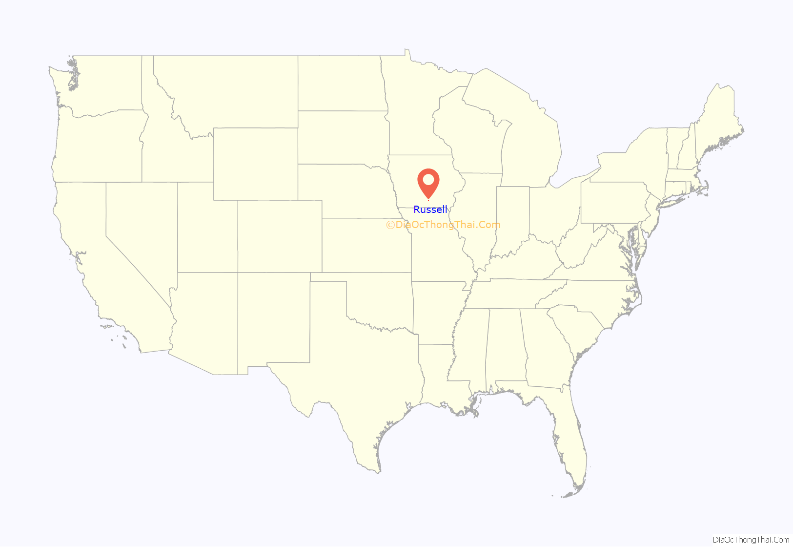
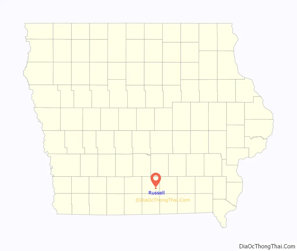
Russell location map. Where is Russell city?
History
Russell was incorporated as a city on April 25, 1887.
The town was originally settled by German and Irish settlers in the 1850s. By the early 1860s the town of Russell had been made into a farming community and provided a source of food for surrounding communities. After being incorporated, a railway and railroad grain-tower were constructed along the town’s edge allowing excess produce to be travelled elsewhere on the frontier.
In 1935, the town suffered a fire on the town square that burned down the eastern side and killed 3 people.
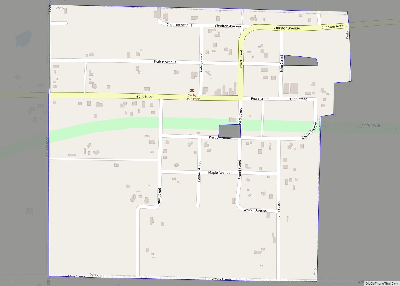
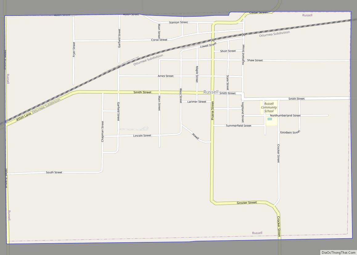
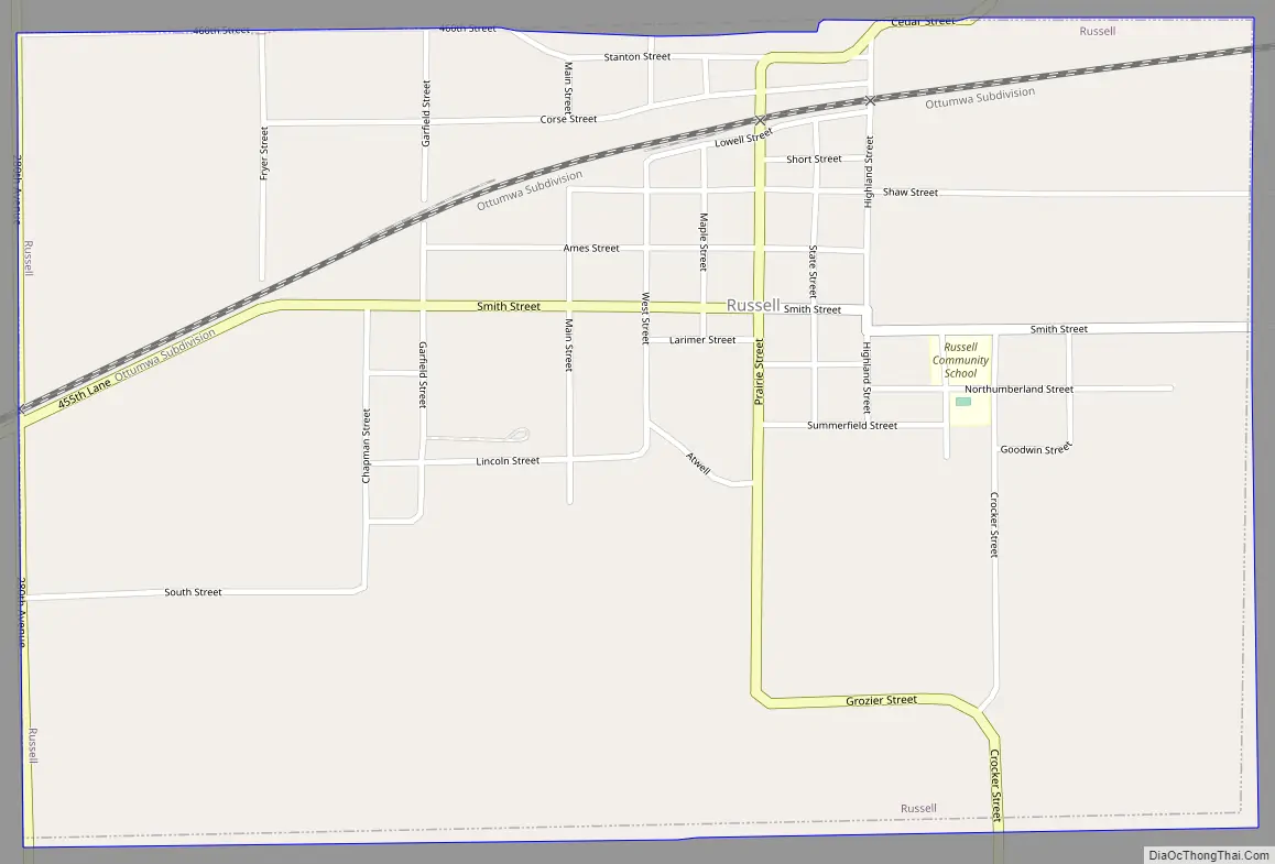
Russell Road Map
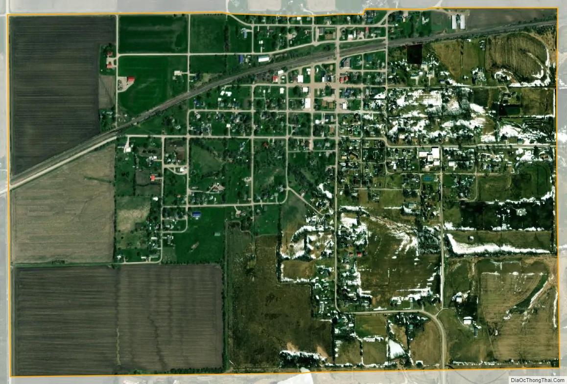
Russell city Satellite Map
Geography
Russell is located at 40°58′57″N 93°11′55″W / 40.98250°N 93.19861°W / 40.98250; -93.19861 (40.982388, -93.198642).
According to the United States Census Bureau, the city has a total area of 1.04 square miles (2.69 km), all land.
See also
Map of Iowa State and its subdivision:- Adair
- Adams
- Allamakee
- Appanoose
- Audubon
- Benton
- Black Hawk
- Boone
- Bremer
- Buchanan
- Buena Vista
- Butler
- Calhoun
- Carroll
- Cass
- Cedar
- Cerro Gordo
- Cherokee
- Chickasaw
- Clarke
- Clay
- Clayton
- Clinton
- Crawford
- Dallas
- Davis
- Decatur
- Delaware
- Des Moines
- Dickinson
- Dubuque
- Emmet
- Fayette
- Floyd
- Franklin
- Fremont
- Greene
- Grundy
- Guthrie
- Hamilton
- Hancock
- Hardin
- Harrison
- Henry
- Howard
- Humboldt
- Ida
- Iowa
- Jackson
- Jasper
- Jefferson
- Johnson
- Jones
- Keokuk
- Kossuth
- Lee
- Linn
- Louisa
- Lucas
- Lyon
- Madison
- Mahaska
- Marion
- Marshall
- Mills
- Mitchell
- Monona
- Monroe
- Montgomery
- Muscatine
- O'Brien
- Osceola
- Page
- Palo Alto
- Plymouth
- Pocahontas
- Polk
- Pottawattamie
- Poweshiek
- Ringgold
- Sac
- Scott
- Shelby
- Sioux
- Story
- Tama
- Taylor
- Union
- Van Buren
- Wapello
- Warren
- Washington
- Wayne
- Webster
- Winnebago
- Winneshiek
- Woodbury
- Worth
- Wright
- Alabama
- Alaska
- Arizona
- Arkansas
- California
- Colorado
- Connecticut
- Delaware
- District of Columbia
- Florida
- Georgia
- Hawaii
- Idaho
- Illinois
- Indiana
- Iowa
- Kansas
- Kentucky
- Louisiana
- Maine
- Maryland
- Massachusetts
- Michigan
- Minnesota
- Mississippi
- Missouri
- Montana
- Nebraska
- Nevada
- New Hampshire
- New Jersey
- New Mexico
- New York
- North Carolina
- North Dakota
- Ohio
- Oklahoma
- Oregon
- Pennsylvania
- Rhode Island
- South Carolina
- South Dakota
- Tennessee
- Texas
- Utah
- Vermont
- Virginia
- Washington
- West Virginia
- Wisconsin
- Wyoming