Schaller is a city in Sac County, Iowa, United States. The population was 729 at the time of the 2020 census.
| Name: | Schaller city |
|---|---|
| LSAD Code: | 25 |
| LSAD Description: | city (suffix) |
| State: | Iowa |
| County: | Sac County |
| Elevation: | 1,411 ft (430 m) |
| Total Area: | 1.26 sq mi (3.26 km²) |
| Land Area: | 1.26 sq mi (3.26 km²) |
| Water Area: | 0.00 sq mi (0.00 km²) |
| Total Population: | 729 |
| Population Density: | 579.03/sq mi (223.59/km²) |
| ZIP code: | 51053 |
| Area code: | 712 |
| FIPS code: | 1971085 |
| GNISfeature ID: | 0465956 |
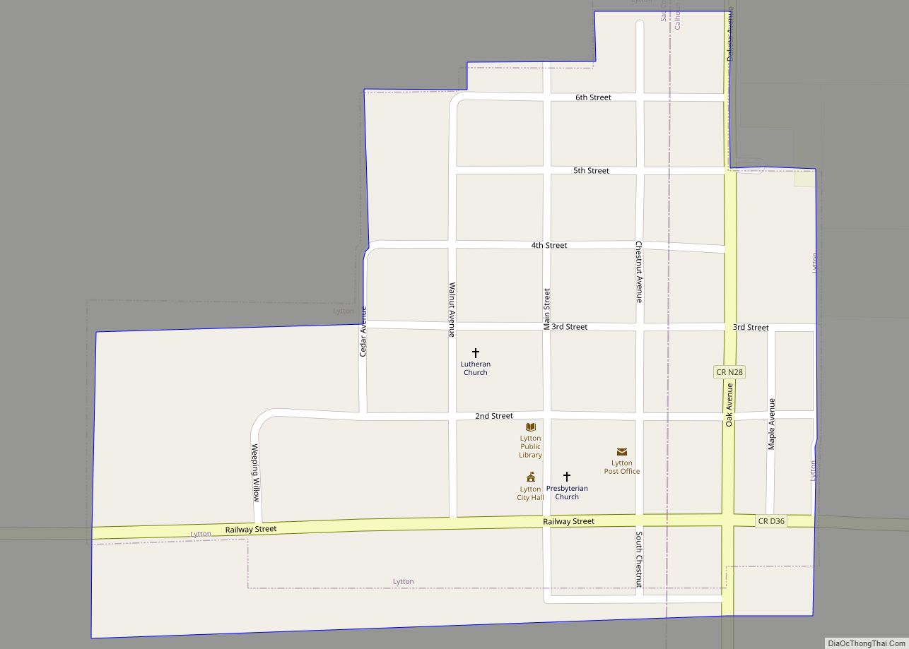
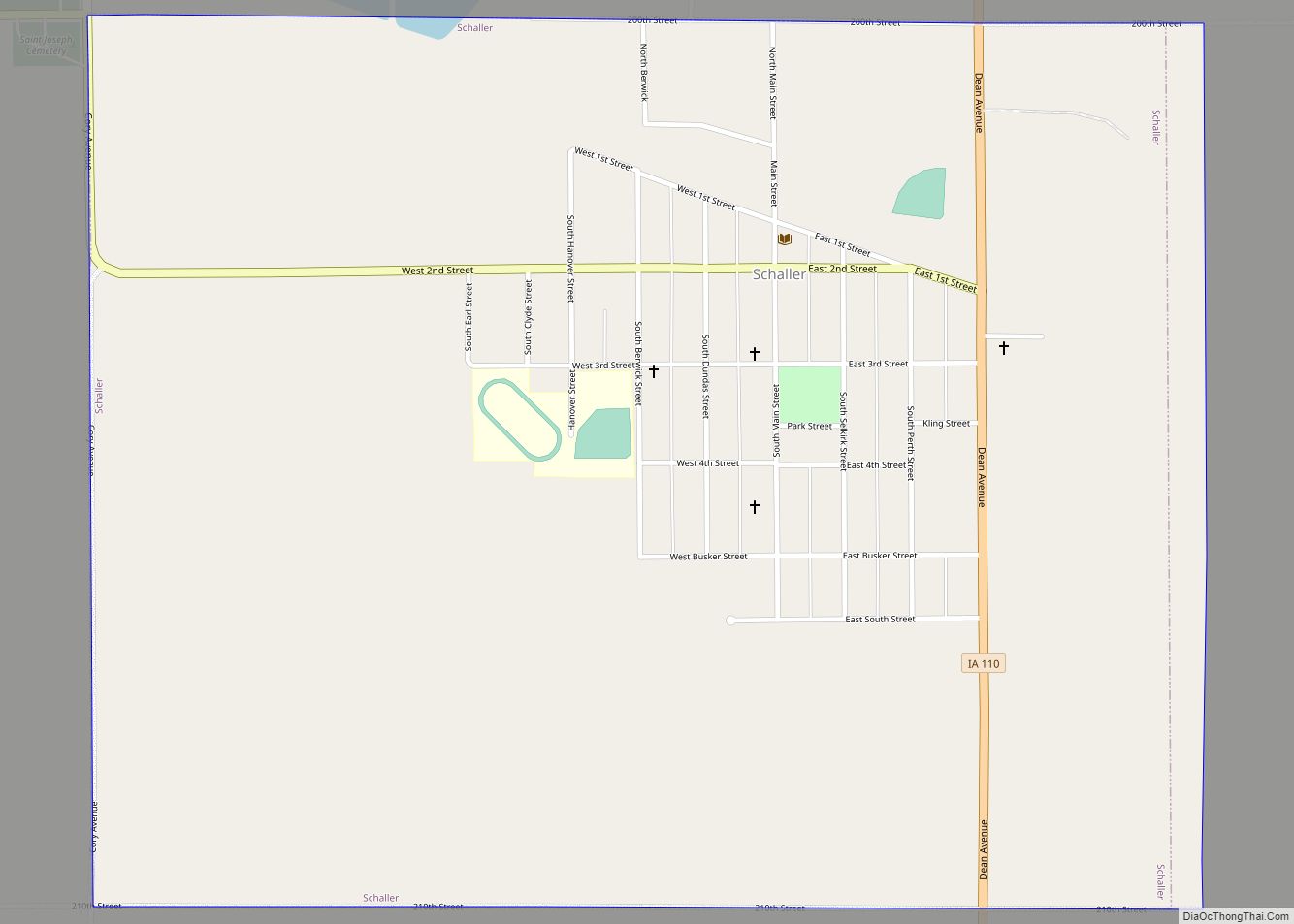
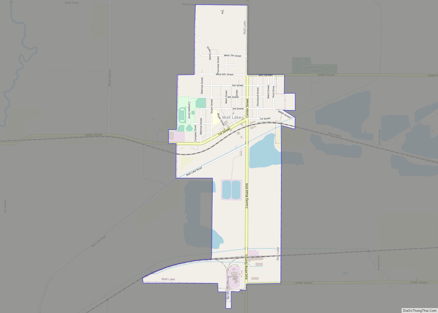
Online Interactive Map
Click on ![]() to view map in "full screen" mode.
to view map in "full screen" mode.
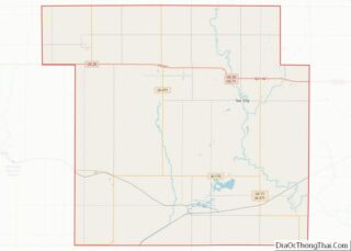
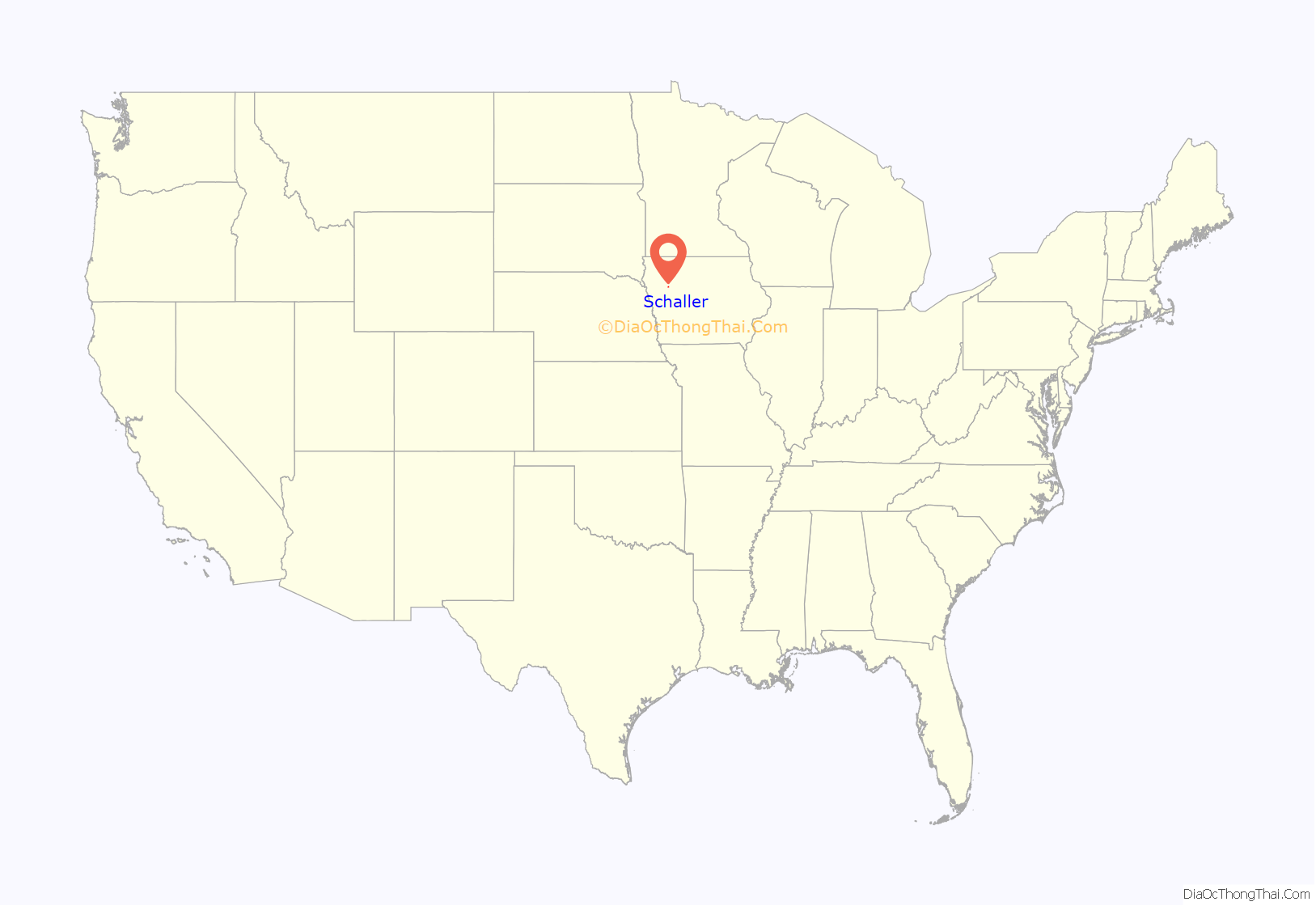
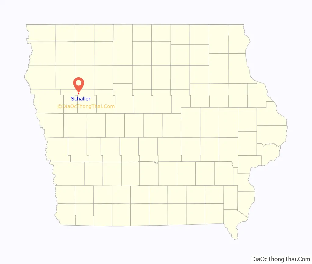
Schaller location map. Where is Schaller city?
History
The city of Schaller, named after Phillip Schaller, was incorporated in 1882. The city had been founded in August 1879 as a station for the railroad under construction. The economy, then as now, was based on commercial support for surrounding farms. Settlers came mostly from Germany, England, Canada, New York, and eastern Iowa. Throughout the middle part of the twentieth century a major industry consisted of the packers of Bango and Jolly Time popcorn. The presence and size of these two companies helped Schaller become “The Popcorn Capital of the world.” Popcorn is still a major area industry, but the companies moved on to other locations in the 1980s. The railroad ceased operations and pulled up tracks in the 1970s. Transportation connections are by U.S. Route 20 and Iowa Highway 110. Corn (seed and feed), soybeans, and feeder cattle are the major products of the area.
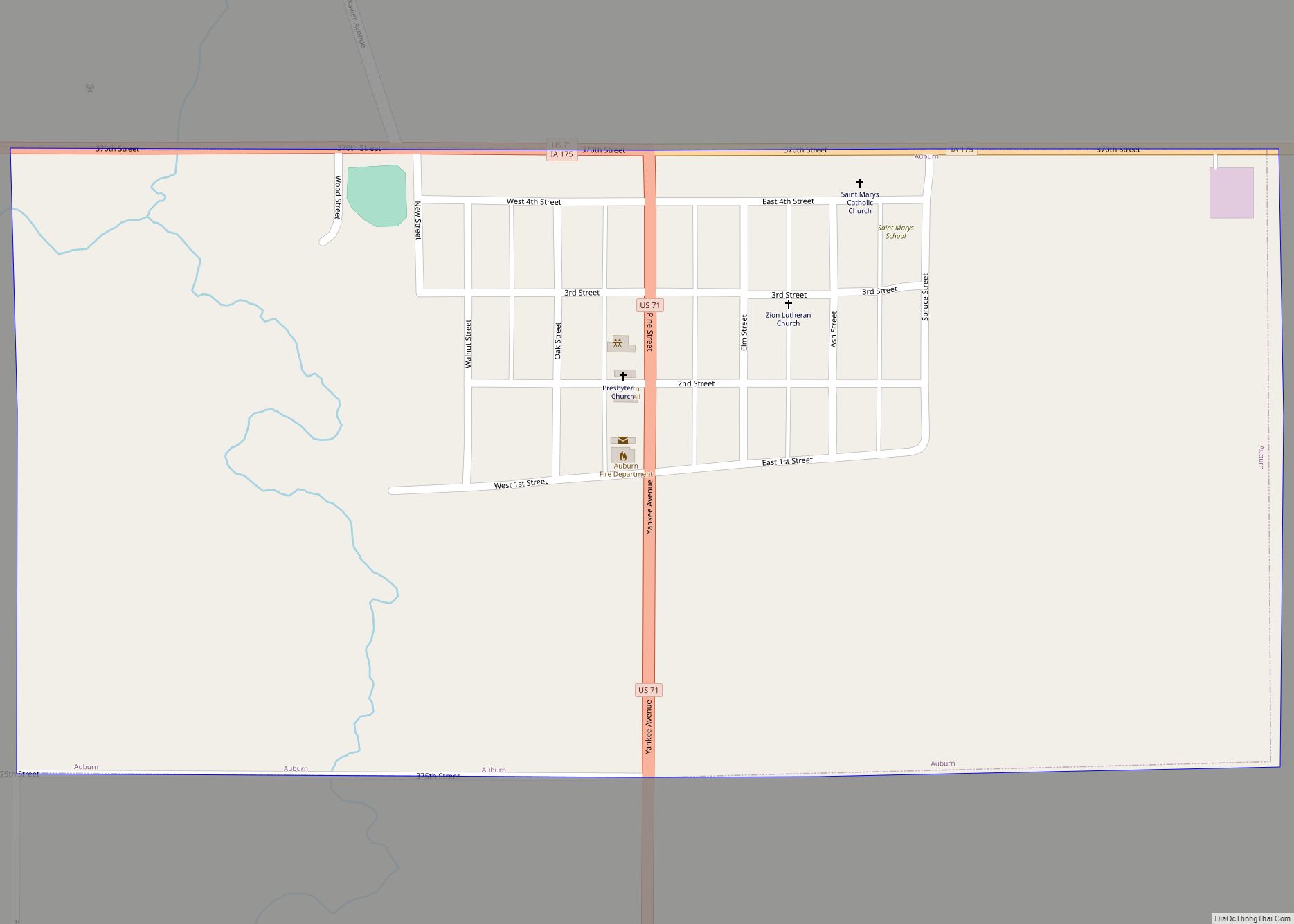
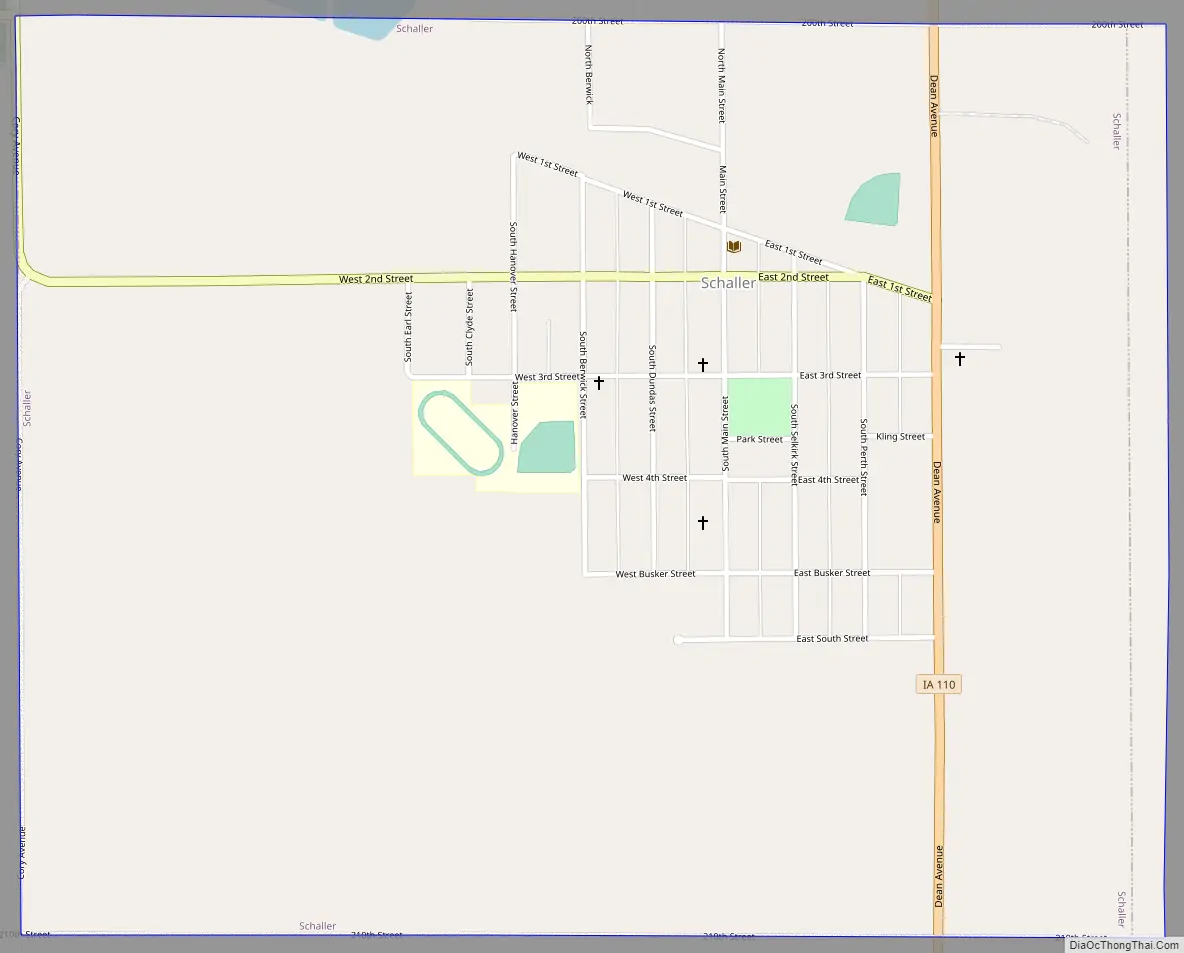
Schaller Road Map
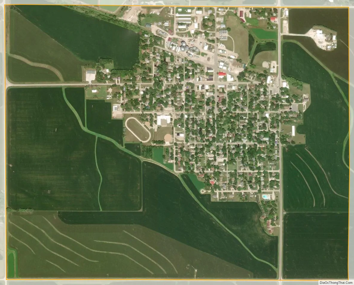
Schaller city Satellite Map
Geography
Schaller is located at 42°29′50″N 95°17′39″W / 42.49722°N 95.29417°W / 42.49722; -95.29417 (42.497325, -95.294219).
According to the United States Census Bureau, the city has a total area of 1.26 square miles (3.26 km), all land.
See also
Map of Iowa State and its subdivision:- Adair
- Adams
- Allamakee
- Appanoose
- Audubon
- Benton
- Black Hawk
- Boone
- Bremer
- Buchanan
- Buena Vista
- Butler
- Calhoun
- Carroll
- Cass
- Cedar
- Cerro Gordo
- Cherokee
- Chickasaw
- Clarke
- Clay
- Clayton
- Clinton
- Crawford
- Dallas
- Davis
- Decatur
- Delaware
- Des Moines
- Dickinson
- Dubuque
- Emmet
- Fayette
- Floyd
- Franklin
- Fremont
- Greene
- Grundy
- Guthrie
- Hamilton
- Hancock
- Hardin
- Harrison
- Henry
- Howard
- Humboldt
- Ida
- Iowa
- Jackson
- Jasper
- Jefferson
- Johnson
- Jones
- Keokuk
- Kossuth
- Lee
- Linn
- Louisa
- Lucas
- Lyon
- Madison
- Mahaska
- Marion
- Marshall
- Mills
- Mitchell
- Monona
- Monroe
- Montgomery
- Muscatine
- O'Brien
- Osceola
- Page
- Palo Alto
- Plymouth
- Pocahontas
- Polk
- Pottawattamie
- Poweshiek
- Ringgold
- Sac
- Scott
- Shelby
- Sioux
- Story
- Tama
- Taylor
- Union
- Van Buren
- Wapello
- Warren
- Washington
- Wayne
- Webster
- Winnebago
- Winneshiek
- Woodbury
- Worth
- Wright
- Alabama
- Alaska
- Arizona
- Arkansas
- California
- Colorado
- Connecticut
- Delaware
- District of Columbia
- Florida
- Georgia
- Hawaii
- Idaho
- Illinois
- Indiana
- Iowa
- Kansas
- Kentucky
- Louisiana
- Maine
- Maryland
- Massachusetts
- Michigan
- Minnesota
- Mississippi
- Missouri
- Montana
- Nebraska
- Nevada
- New Hampshire
- New Jersey
- New Mexico
- New York
- North Carolina
- North Dakota
- Ohio
- Oklahoma
- Oregon
- Pennsylvania
- Rhode Island
- South Carolina
- South Dakota
- Tennessee
- Texas
- Utah
- Vermont
- Virginia
- Washington
- West Virginia
- Wisconsin
- Wyoming