Seymour is a city in Wayne County, Iowa, United States. The population was 634 at the time of the 2020 census.
| Name: | Seymour city |
|---|---|
| LSAD Code: | 25 |
| LSAD Description: | city (suffix) |
| State: | Iowa |
| County: | Wayne County |
| Elevation: | 1,073 ft (327 m) |
| Total Area: | 2.39 sq mi (6.20 km²) |
| Land Area: | 2.39 sq mi (6.20 km²) |
| Water Area: | 0.00 sq mi (0.00 km²) |
| Total Population: | 634 |
| Population Density: | 265.05/sq mi (102.32/km²) |
| ZIP code: | 52590 |
| Area code: | 641 |
| FIPS code: | 1971760 |
| GNISfeature ID: | 0461518 |
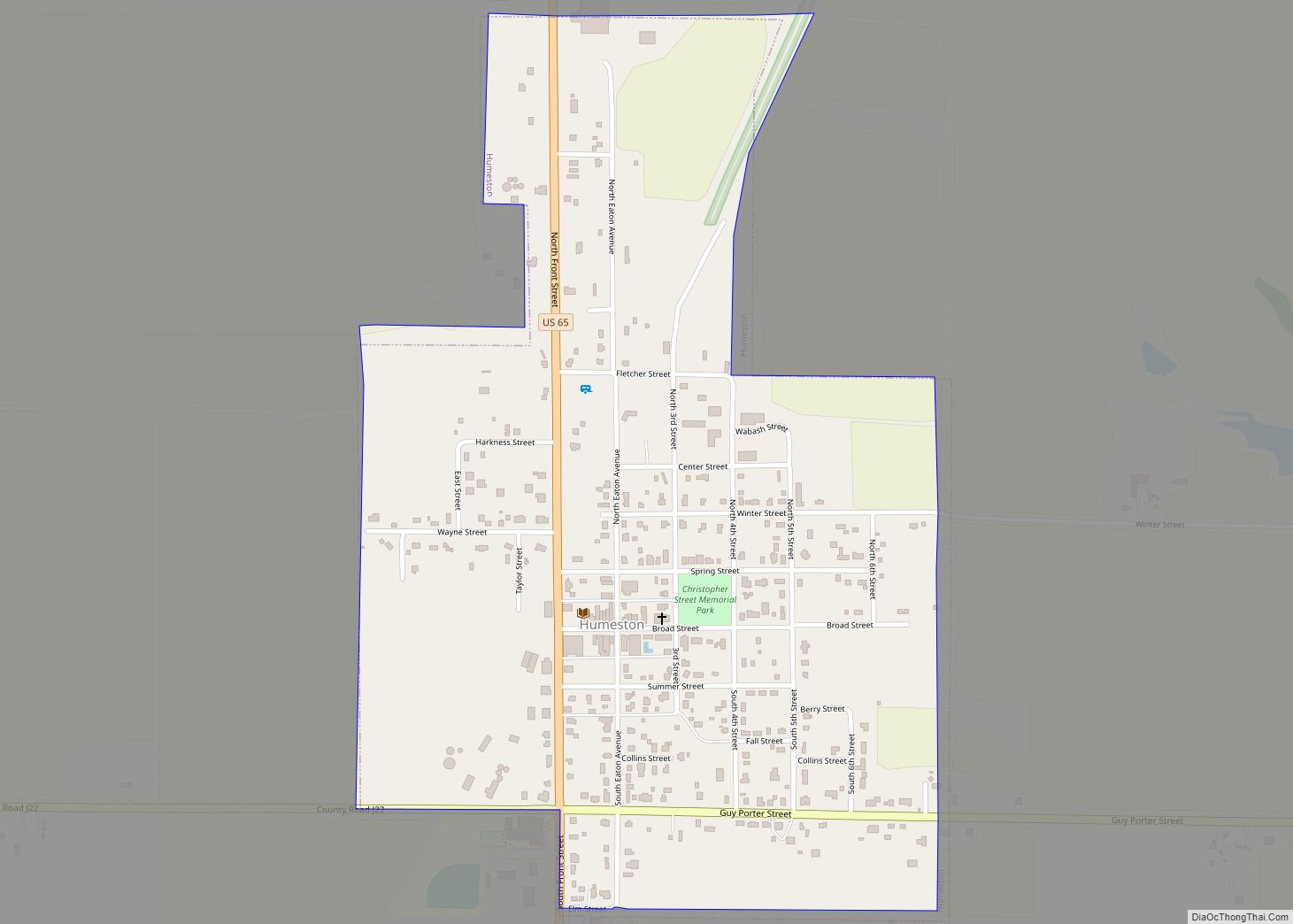
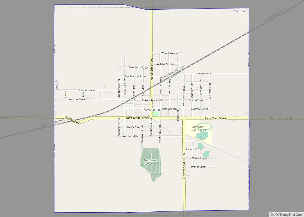
Online Interactive Map
Click on ![]() to view map in "full screen" mode.
to view map in "full screen" mode.
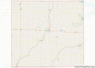
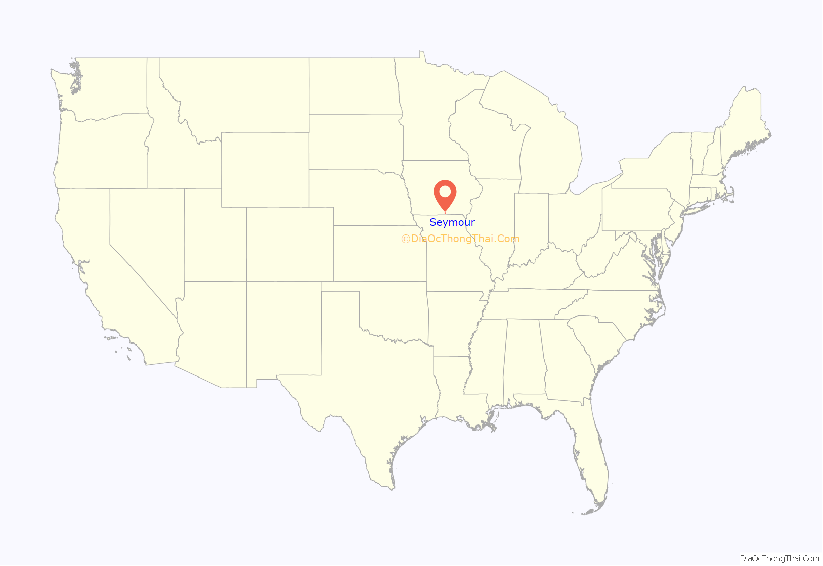
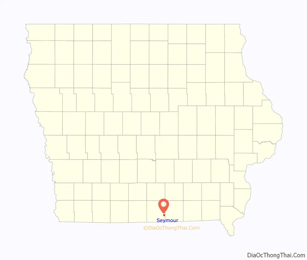
Seymour location map. Where is Seymour city?
History
The first coal mines in Seymour were opened in 1884. In 1902, the Numa Block Coal Company took over these mines. In 1908 the largest coal mine in Appanoose-Wayne Coalfield was Numa Block number 2, known as “Big Jim.” “Big Jim” was located just 1 mile east of the Chicago, Milwaukee and St. Paul Railway Depot, and was able to produce 100,000 tons of coal per year at full capacity. The Mystic coal seam was just over 2 feet thick here, reached by a 202-foot long shaft. Numa Block Mine number 3, the Sunshine Mine, was in the southeast part of town, served by the Rock Island, with a 240-foot long shaft to the Mystic seam.
In 1884, Local Assembly 3143 of the Knights of Labor, based in Seymour, had 40 members. In 1912, United Mine Workers Local 206 in Seymour had 299 members, approximately 13% of the entire population.
On March 6, 2017 an EF-2 tornado (confirmed by National Weather Service WFO, Des Moines, IA damage survey) hit Seymour at approximately 8:00 pm CST, damaging homes and the high school.
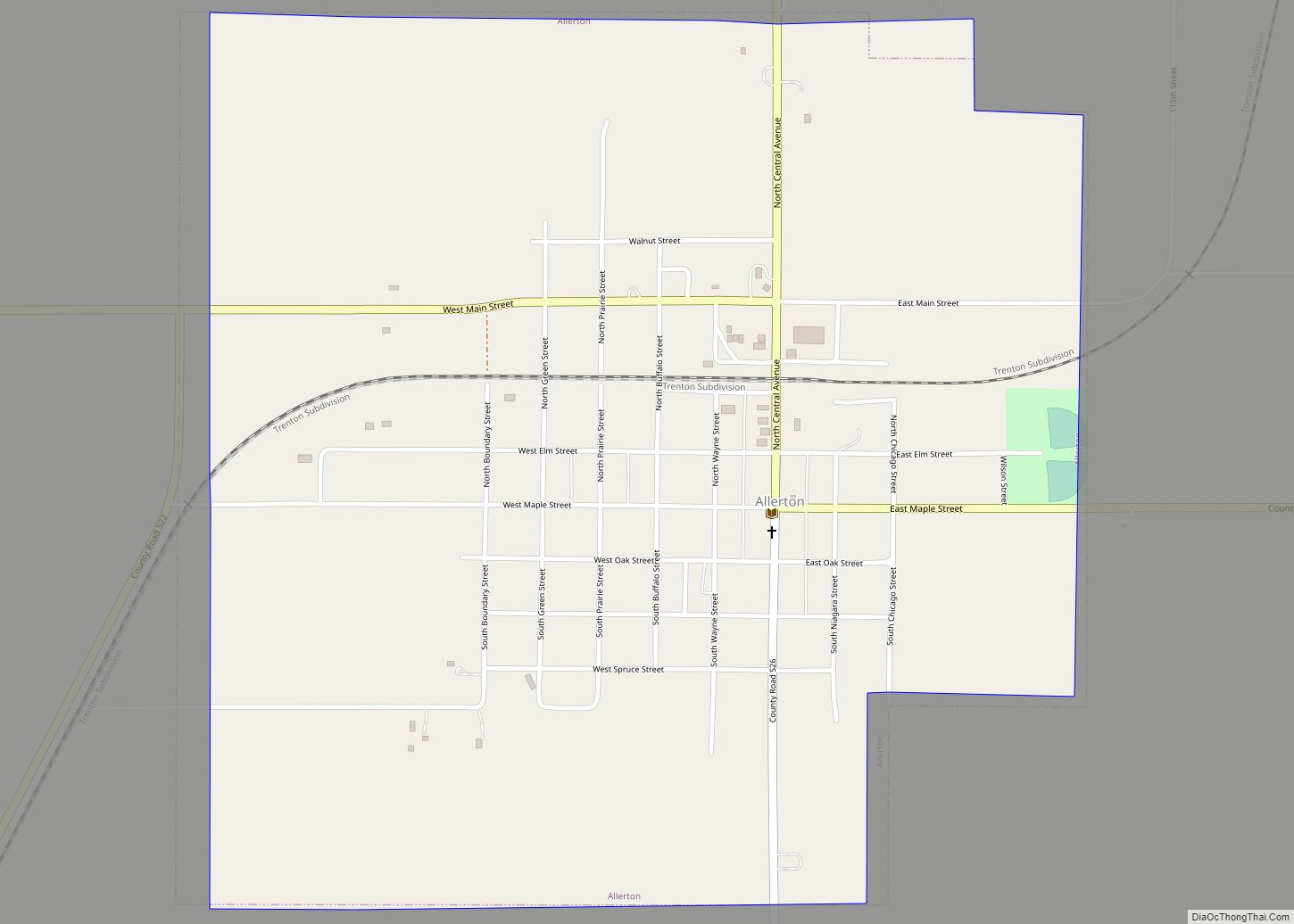
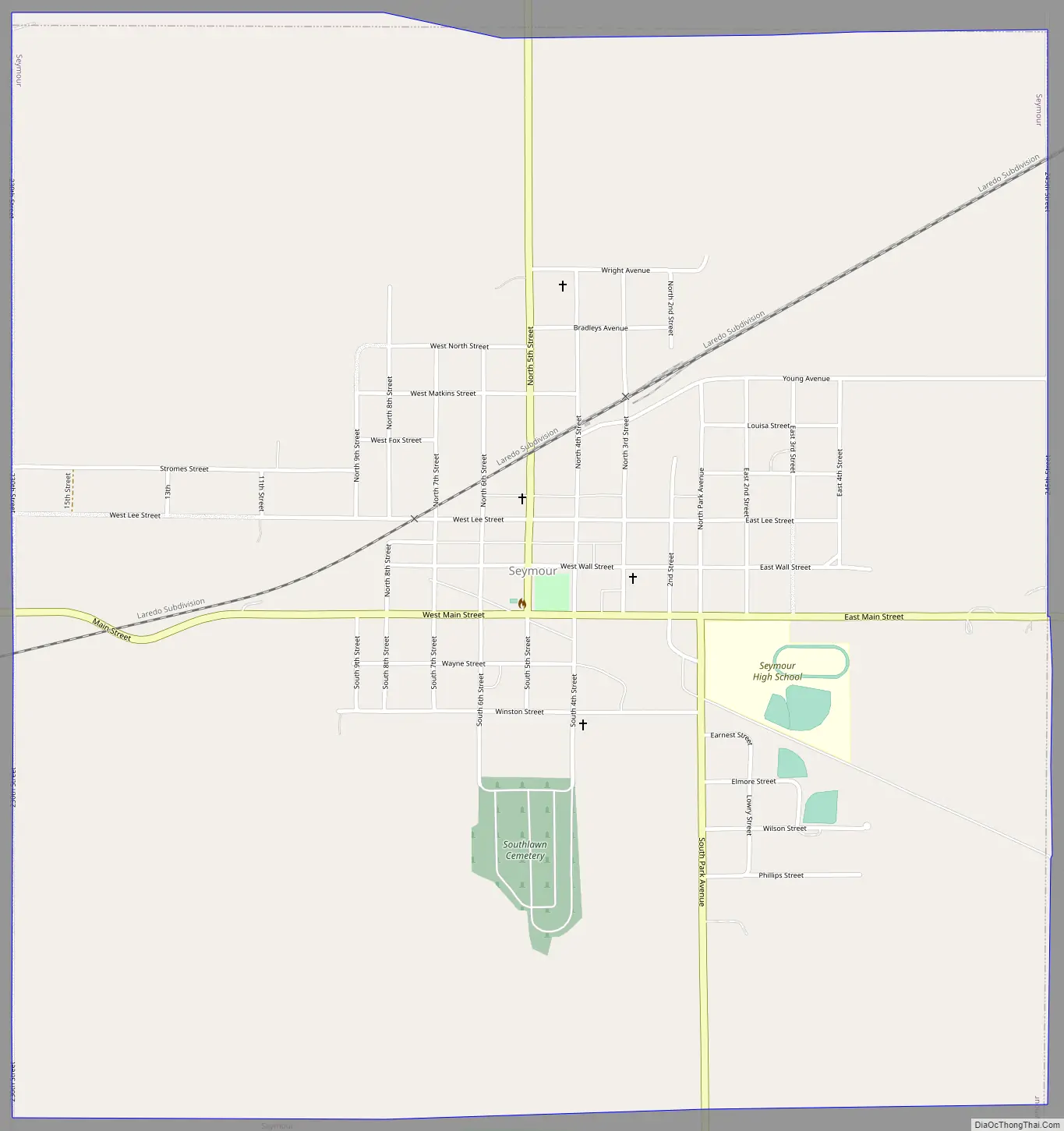
Seymour Road Map
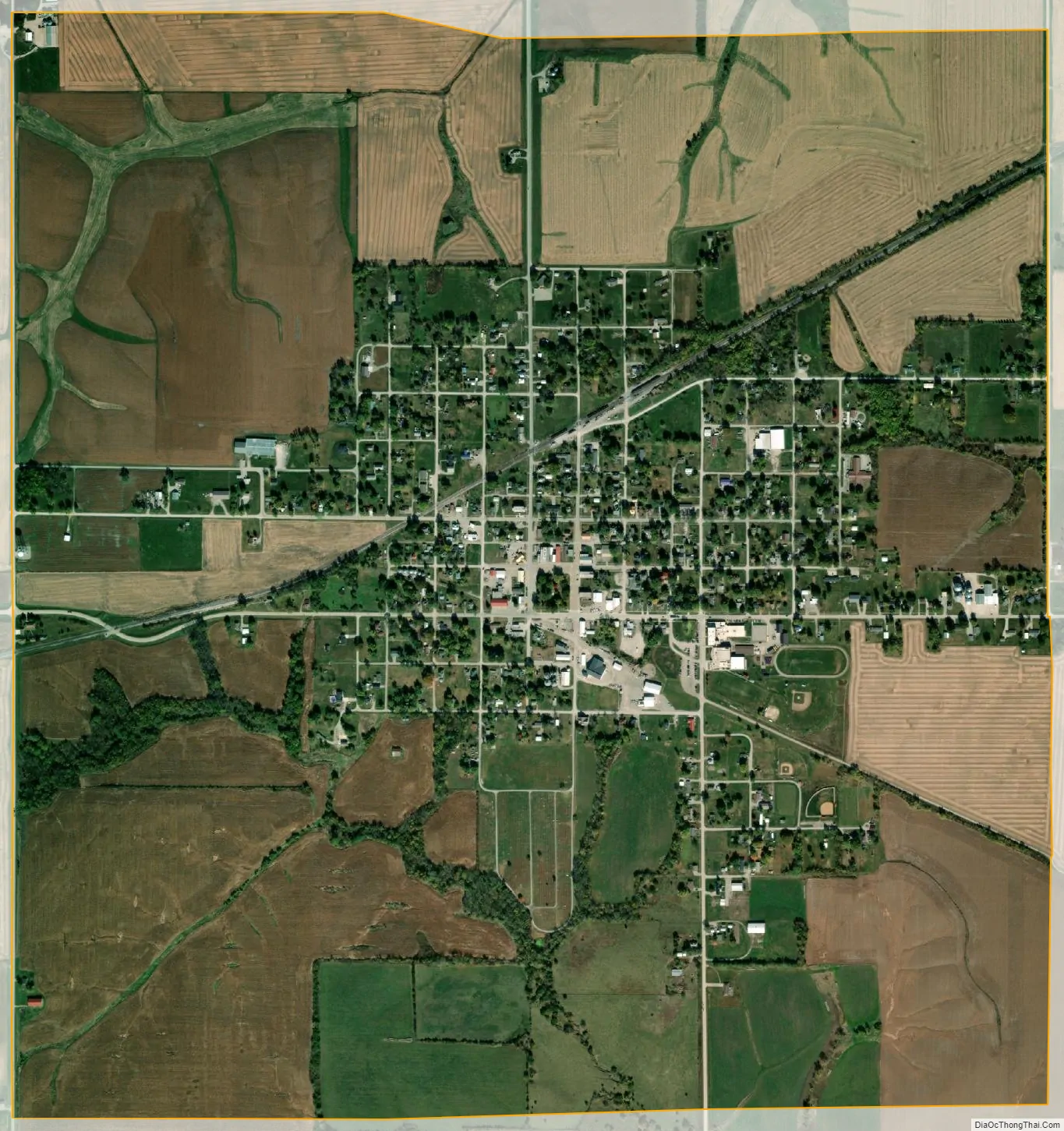
Seymour city Satellite Map
Geography
Seymour is located at 40°40′58″N 93°7′15″W / 40.68278°N 93.12083°W / 40.68278; -93.12083 (40.682854, −93.120732).
According to the United States Census Bureau, the city has a total area of 2.35 square miles (6.09 km), all land.
See also
Map of Iowa State and its subdivision:- Adair
- Adams
- Allamakee
- Appanoose
- Audubon
- Benton
- Black Hawk
- Boone
- Bremer
- Buchanan
- Buena Vista
- Butler
- Calhoun
- Carroll
- Cass
- Cedar
- Cerro Gordo
- Cherokee
- Chickasaw
- Clarke
- Clay
- Clayton
- Clinton
- Crawford
- Dallas
- Davis
- Decatur
- Delaware
- Des Moines
- Dickinson
- Dubuque
- Emmet
- Fayette
- Floyd
- Franklin
- Fremont
- Greene
- Grundy
- Guthrie
- Hamilton
- Hancock
- Hardin
- Harrison
- Henry
- Howard
- Humboldt
- Ida
- Iowa
- Jackson
- Jasper
- Jefferson
- Johnson
- Jones
- Keokuk
- Kossuth
- Lee
- Linn
- Louisa
- Lucas
- Lyon
- Madison
- Mahaska
- Marion
- Marshall
- Mills
- Mitchell
- Monona
- Monroe
- Montgomery
- Muscatine
- O'Brien
- Osceola
- Page
- Palo Alto
- Plymouth
- Pocahontas
- Polk
- Pottawattamie
- Poweshiek
- Ringgold
- Sac
- Scott
- Shelby
- Sioux
- Story
- Tama
- Taylor
- Union
- Van Buren
- Wapello
- Warren
- Washington
- Wayne
- Webster
- Winnebago
- Winneshiek
- Woodbury
- Worth
- Wright
- Alabama
- Alaska
- Arizona
- Arkansas
- California
- Colorado
- Connecticut
- Delaware
- District of Columbia
- Florida
- Georgia
- Hawaii
- Idaho
- Illinois
- Indiana
- Iowa
- Kansas
- Kentucky
- Louisiana
- Maine
- Maryland
- Massachusetts
- Michigan
- Minnesota
- Mississippi
- Missouri
- Montana
- Nebraska
- Nevada
- New Hampshire
- New Jersey
- New Mexico
- New York
- North Carolina
- North Dakota
- Ohio
- Oklahoma
- Oregon
- Pennsylvania
- Rhode Island
- South Carolina
- South Dakota
- Tennessee
- Texas
- Utah
- Vermont
- Virginia
- Washington
- West Virginia
- Wisconsin
- Wyoming