Solon is a city located in Johnson County, Iowa, United States. Part of the Iowa City, Iowa Metropolitan Statistical Area, it is located a few miles from Lake MacBride State Park and the larger cities of Coralville and Iowa City. The population was 3,018 at the time of the 2020 census.
| Name: | Solon city |
|---|---|
| LSAD Code: | 25 |
| LSAD Description: | city (suffix) |
| State: | Iowa |
| County: | Johnson County |
| Elevation: | 801 ft (244 m) |
| Total Area: | 1.32 sq mi (3.43 km²) |
| Land Area: | 1.32 sq mi (3.43 km²) |
| Water Area: | 0.00 sq mi (0.00 km²) |
| Total Population: | 3,018 |
| Population Density: | 2,277.74/sq mi (879.46/km²) |
| ZIP code: | 52333 |
| Area code: | 319 |
| FIPS code: | 1973875 |
| GNISfeature ID: | 0461748 |
| Website: | www.solon-iowa.com |
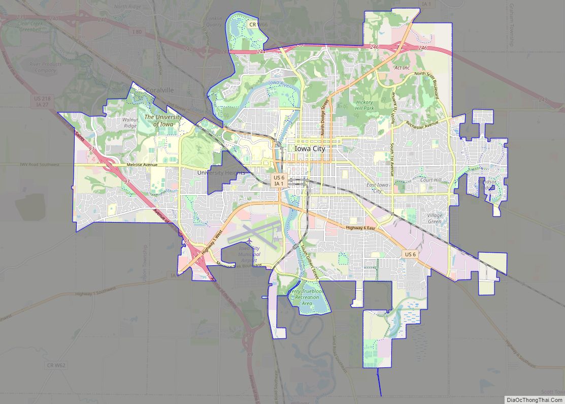
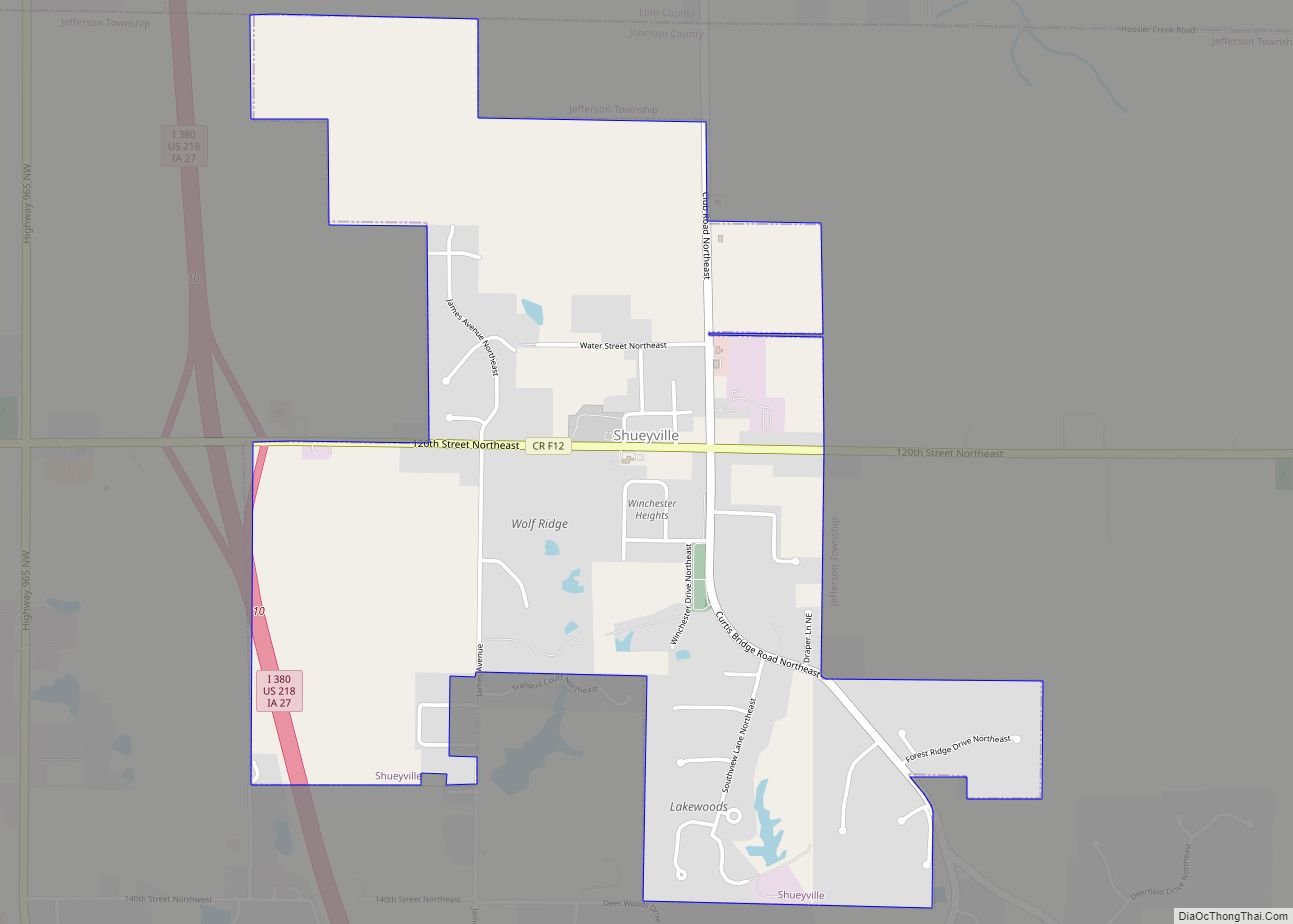
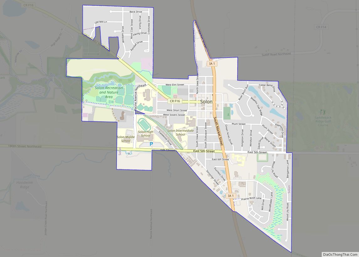
Online Interactive Map
Click on ![]() to view map in "full screen" mode.
to view map in "full screen" mode.
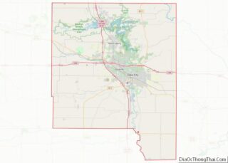
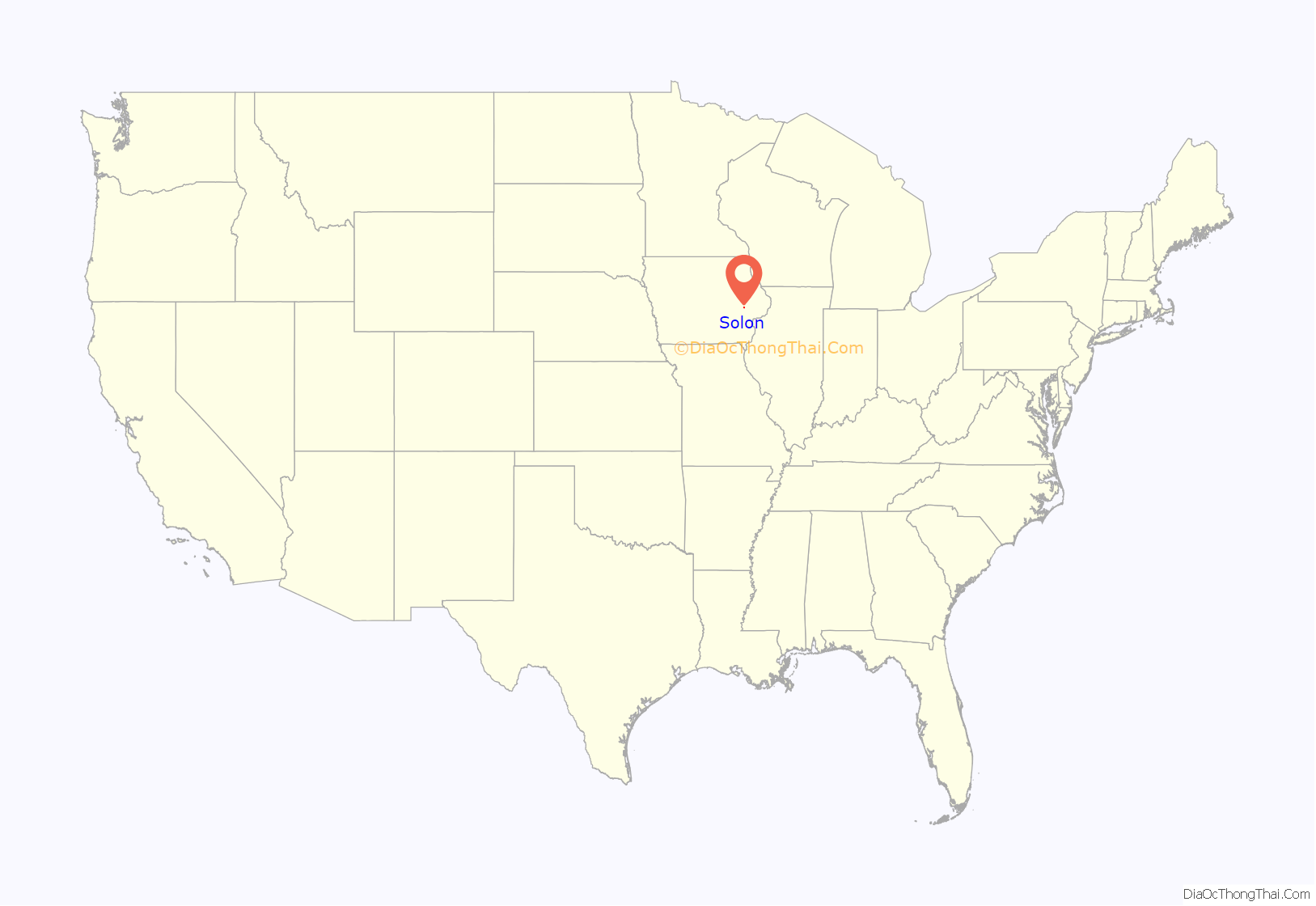
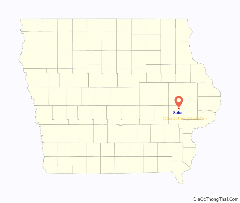
Solon location map. Where is Solon city?
History
Solon was platted in 1840. It is named for the classical Athenian statesman, lawmaker, and lyric poet Solon. Ironically, the local high school’s mascot is the Spartans; Sparta was famously an enemy of Athens, Solon’s home. The National Register of Historic Places-listed Stone Academy is just north of town.
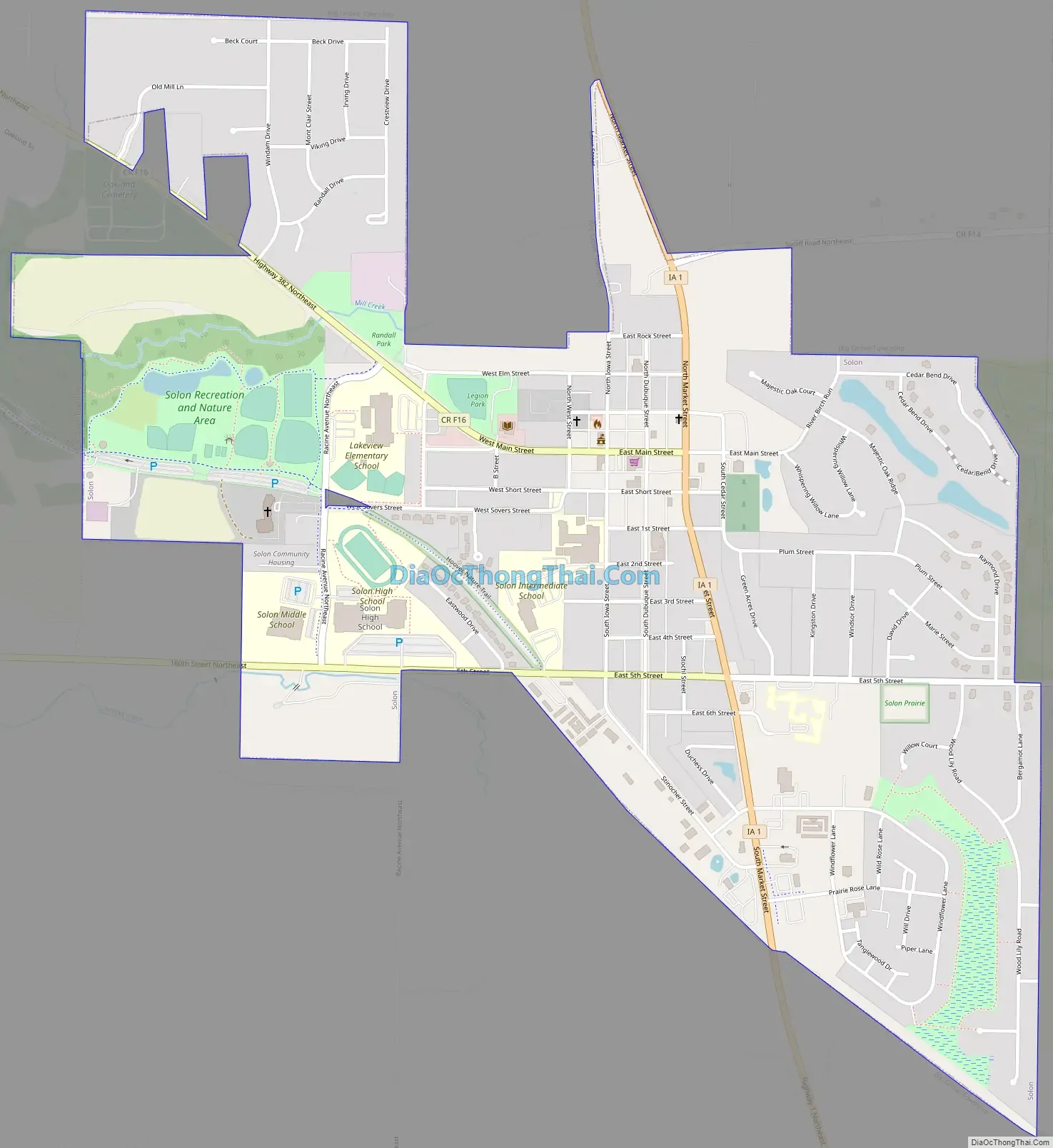
Solon Road Map
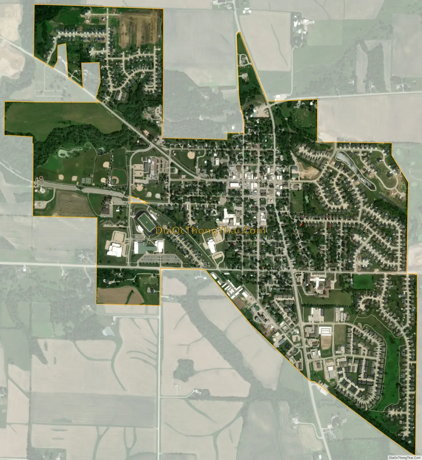
Solon city Satellite Map
Geography
According to the United States Census Bureau, the city has a total area of 1.39 square miles (3.60 km), all land.
See also
Map of Iowa State and its subdivision:- Adair
- Adams
- Allamakee
- Appanoose
- Audubon
- Benton
- Black Hawk
- Boone
- Bremer
- Buchanan
- Buena Vista
- Butler
- Calhoun
- Carroll
- Cass
- Cedar
- Cerro Gordo
- Cherokee
- Chickasaw
- Clarke
- Clay
- Clayton
- Clinton
- Crawford
- Dallas
- Davis
- Decatur
- Delaware
- Des Moines
- Dickinson
- Dubuque
- Emmet
- Fayette
- Floyd
- Franklin
- Fremont
- Greene
- Grundy
- Guthrie
- Hamilton
- Hancock
- Hardin
- Harrison
- Henry
- Howard
- Humboldt
- Ida
- Iowa
- Jackson
- Jasper
- Jefferson
- Johnson
- Jones
- Keokuk
- Kossuth
- Lee
- Linn
- Louisa
- Lucas
- Lyon
- Madison
- Mahaska
- Marion
- Marshall
- Mills
- Mitchell
- Monona
- Monroe
- Montgomery
- Muscatine
- O'Brien
- Osceola
- Page
- Palo Alto
- Plymouth
- Pocahontas
- Polk
- Pottawattamie
- Poweshiek
- Ringgold
- Sac
- Scott
- Shelby
- Sioux
- Story
- Tama
- Taylor
- Union
- Van Buren
- Wapello
- Warren
- Washington
- Wayne
- Webster
- Winnebago
- Winneshiek
- Woodbury
- Worth
- Wright
- Alabama
- Alaska
- Arizona
- Arkansas
- California
- Colorado
- Connecticut
- Delaware
- District of Columbia
- Florida
- Georgia
- Hawaii
- Idaho
- Illinois
- Indiana
- Iowa
- Kansas
- Kentucky
- Louisiana
- Maine
- Maryland
- Massachusetts
- Michigan
- Minnesota
- Mississippi
- Missouri
- Montana
- Nebraska
- Nevada
- New Hampshire
- New Jersey
- New Mexico
- New York
- North Carolina
- North Dakota
- Ohio
- Oklahoma
- Oregon
- Pennsylvania
- Rhode Island
- South Carolina
- South Dakota
- Tennessee
- Texas
- Utah
- Vermont
- Virginia
- Washington
- West Virginia
- Wisconsin
- Wyoming