Stanton is a city in Montgomery County, Iowa, United States. The population was 678 at the time of the 2020 census.
Stanton was first settled by Swedish immigrants. Stanton is best known for its two water towers, the tanks of which are painted and shaped like a giant coffee pot and coffee cup (billed as “the largest Swedish coffee pot in the world”). These also allude to the fact that Stanton is the hometown of actress Virginia Christine, best known to television viewers as “Mrs. Olsen” in classic commercials for Folgers.
| Name: | Stanton city |
|---|---|
| LSAD Code: | 25 |
| LSAD Description: | city (suffix) |
| State: | Iowa |
| County: | Montgomery County |
| Elevation: | 1,155 ft (352 m) |
| Total Area: | 0.95 sq mi (2.46 km²) |
| Land Area: | 0.95 sq mi (2.46 km²) |
| Water Area: | 0.00 sq mi (0.00 km²) |
| Total Population: | 678 |
| Population Density: | 715.19/sq mi (276.15/km²) |
| ZIP code: | 51573 |
| Area code: | 712 |
| FIPS code: | 1975000 |
| GNISfeature ID: | 0461955 |
| Website: | www.stantoniowa.com |
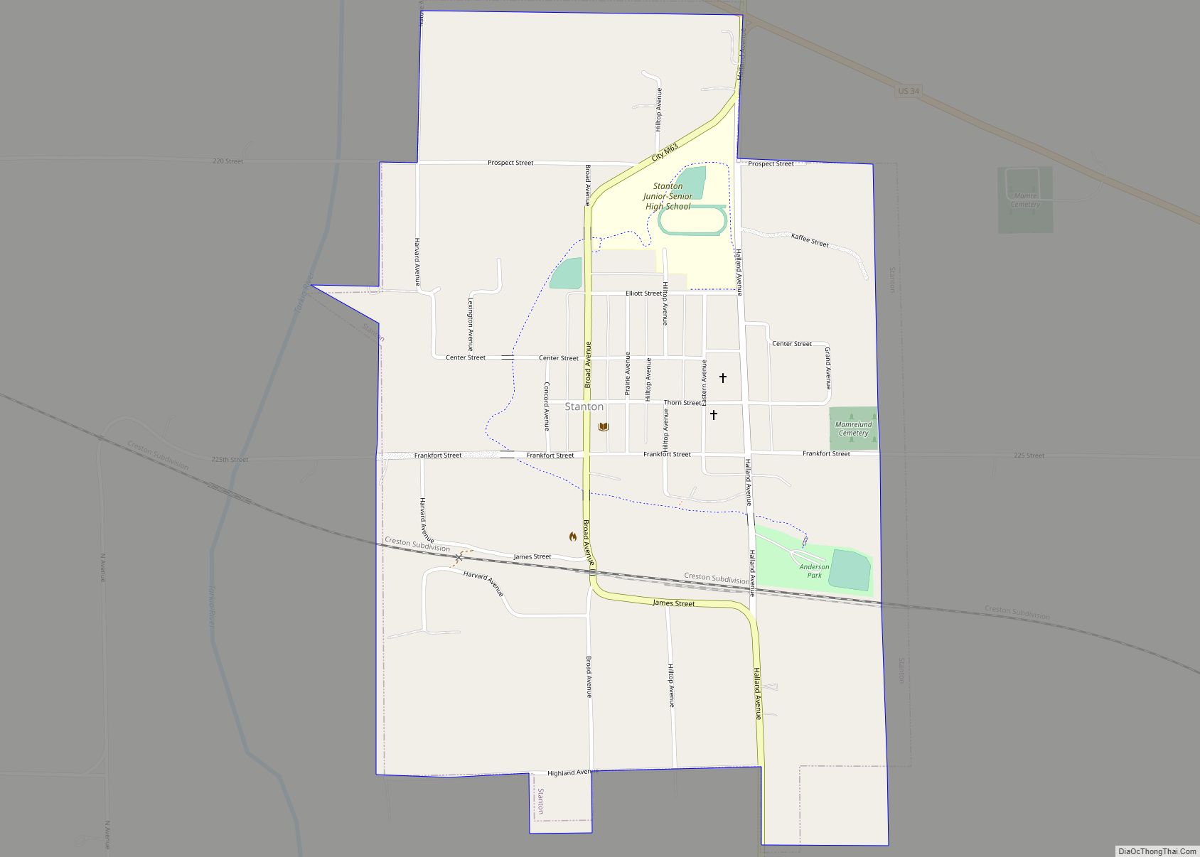
Online Interactive Map
Click on ![]() to view map in "full screen" mode.
to view map in "full screen" mode.
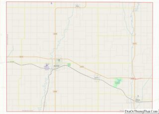
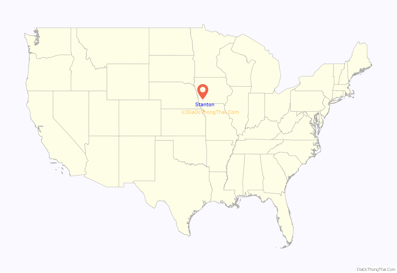
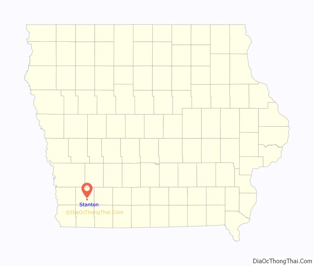
Stanton location map. Where is Stanton city?
History
Stanton was laid out in 1870.
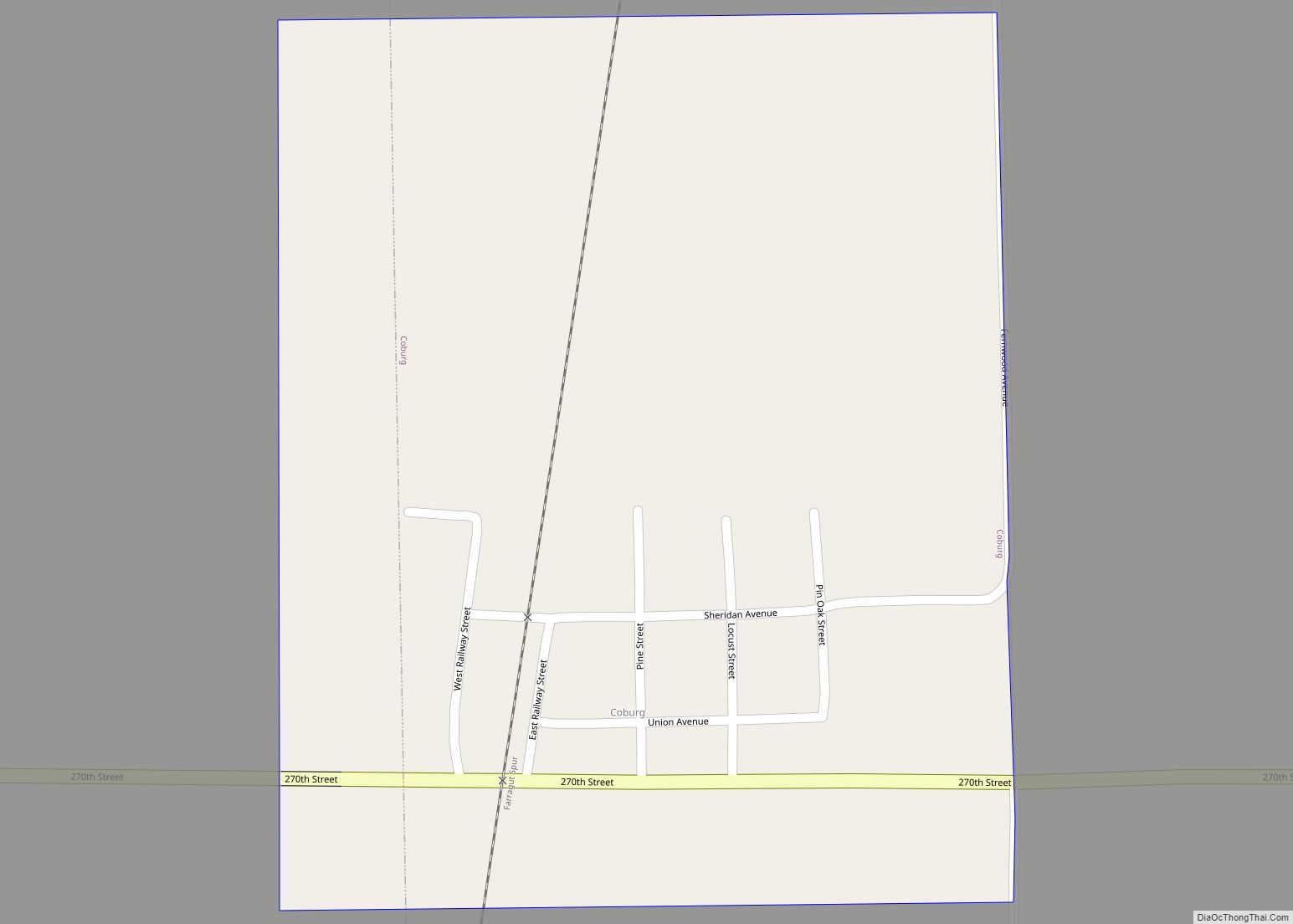
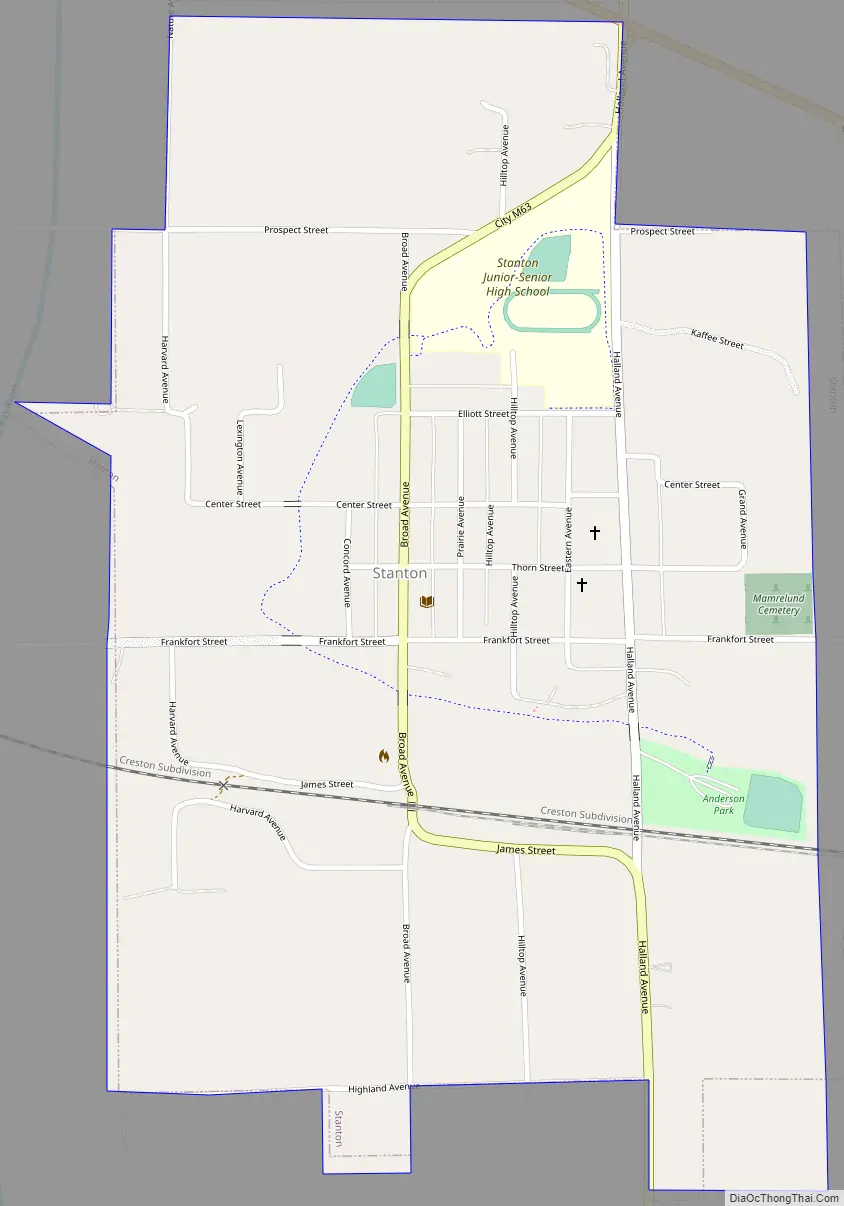
Stanton Road Map
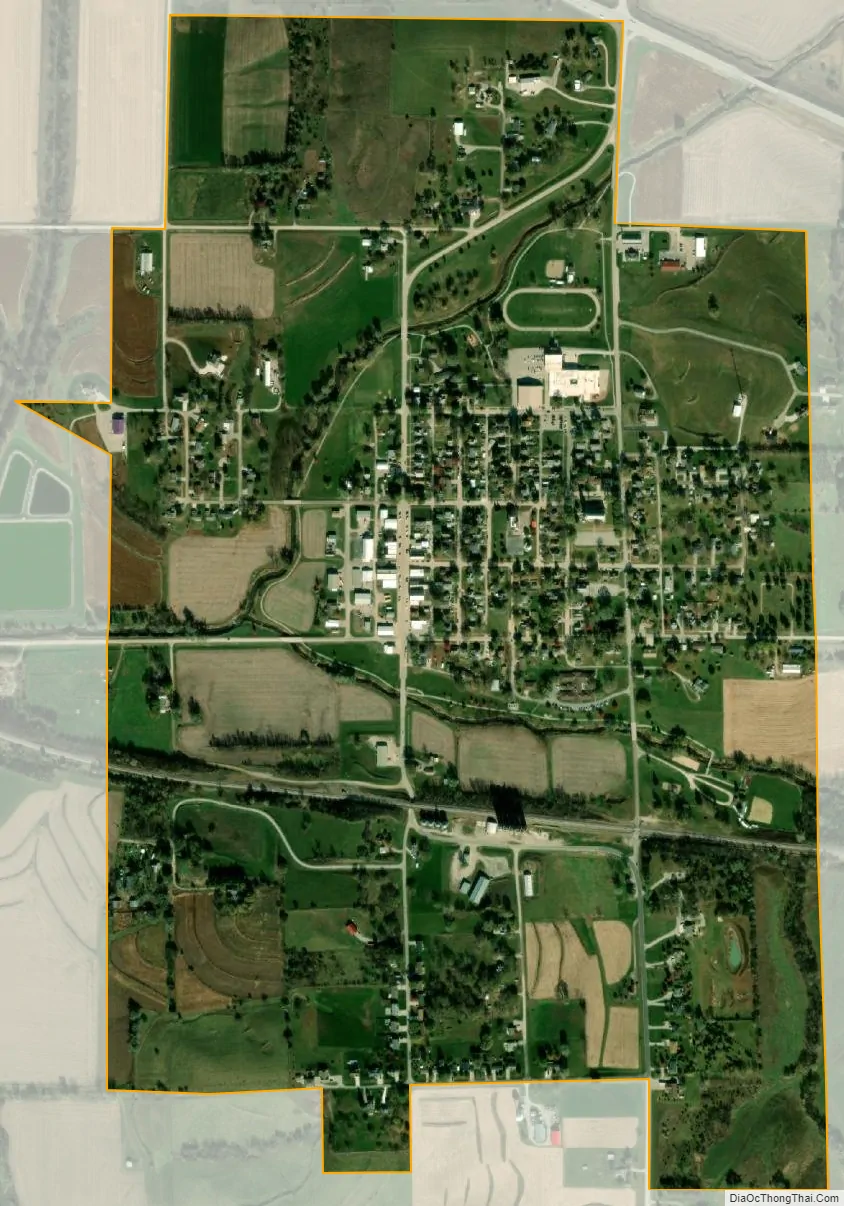
Stanton city Satellite Map
Geography
Stanton is located at 40°58′52″N 95°6′8″W / 40.98111°N 95.10222°W / 40.98111; -95.10222.
According to the United States Census Bureau, the city has a total area of 0.92 square miles (2.38 km), all land.
See also
Map of Iowa State and its subdivision:- Adair
- Adams
- Allamakee
- Appanoose
- Audubon
- Benton
- Black Hawk
- Boone
- Bremer
- Buchanan
- Buena Vista
- Butler
- Calhoun
- Carroll
- Cass
- Cedar
- Cerro Gordo
- Cherokee
- Chickasaw
- Clarke
- Clay
- Clayton
- Clinton
- Crawford
- Dallas
- Davis
- Decatur
- Delaware
- Des Moines
- Dickinson
- Dubuque
- Emmet
- Fayette
- Floyd
- Franklin
- Fremont
- Greene
- Grundy
- Guthrie
- Hamilton
- Hancock
- Hardin
- Harrison
- Henry
- Howard
- Humboldt
- Ida
- Iowa
- Jackson
- Jasper
- Jefferson
- Johnson
- Jones
- Keokuk
- Kossuth
- Lee
- Linn
- Louisa
- Lucas
- Lyon
- Madison
- Mahaska
- Marion
- Marshall
- Mills
- Mitchell
- Monona
- Monroe
- Montgomery
- Muscatine
- O'Brien
- Osceola
- Page
- Palo Alto
- Plymouth
- Pocahontas
- Polk
- Pottawattamie
- Poweshiek
- Ringgold
- Sac
- Scott
- Shelby
- Sioux
- Story
- Tama
- Taylor
- Union
- Van Buren
- Wapello
- Warren
- Washington
- Wayne
- Webster
- Winnebago
- Winneshiek
- Woodbury
- Worth
- Wright
- Alabama
- Alaska
- Arizona
- Arkansas
- California
- Colorado
- Connecticut
- Delaware
- District of Columbia
- Florida
- Georgia
- Hawaii
- Idaho
- Illinois
- Indiana
- Iowa
- Kansas
- Kentucky
- Louisiana
- Maine
- Maryland
- Massachusetts
- Michigan
- Minnesota
- Mississippi
- Missouri
- Montana
- Nebraska
- Nevada
- New Hampshire
- New Jersey
- New Mexico
- New York
- North Carolina
- North Dakota
- Ohio
- Oklahoma
- Oregon
- Pennsylvania
- Rhode Island
- South Carolina
- South Dakota
- Tennessee
- Texas
- Utah
- Vermont
- Virginia
- Washington
- West Virginia
- Wisconsin
- Wyoming